Cocking, and balls

There are a set of large balls below Cocking village. They are made of chalk, and were placed there by the land artist Andy Goldsworthy. I’ve been meaning to visit them for some years and had two failed attempts. My first try, with my friend Sophie, was foiled by mud and unreliable directions. Sophie was underwhelmed and announced “I’m not sure who this Andy Goldsworthy fellow is, but I don’t want anything more to do with the man.

Another attempt in 2017 was stopped by a combination of rain and poor clothing. But at the end of the year I set out with my hiking buddies Katharine and Romi for another try. Better clothed and better prepared, we managed to follow the whole route.

The trail features over a dozen chalk boulders from Duncton Quarry, each about 2 meters in diameter, and placed along a five-mile route. It was expected that the stones would last about two years, but 18 years later they are still there and, indeed, their weathering has been the subject of scientific research. I read online that they might last as long as two centuries. The sculpture was a lovely way to link a trail together, with the added fun of trying to spot the stones. I didn’t keep track of how many we found, knowing that it is unlucky to try counting stones.

The chalk was was not the only artwork we saw on the trail. Unexpected and unsignposted, there were two heads resting on a fallen tree-trunk.


The route took us to Cocking and back. Sadly we arrived a couple of weeks early for the local pub, which was being renovated. It had just been bought by the community, and I am looking forward to visiting it in the future. We settled for buying sweets at the post office, then headed back.

One of the fun thing was trying to find a path through a forest and realising our map no longer matched the reality. We were in a managed forest, and a section of the trees had been cut back.

The trip to look for the stones was a good one, with some lovely scenery, and even a deer at one point. The chalk boulders have settled in to being part of the landscape. We met some locals at one point, who took a photo of the three of us at the last stone. They told us that they’d heard the chalk was left by some artist, but had no idea why.

You can download a PDF of the route.


My first walk of the year

Last weekend was my first proper walk of 2020. It was also my first trip with Brighton Explorer’s Club – I joined a while back, but hadn’t managed any of the events before now.

The group was friendly, and it’s good to have more people to go hiking with. Mount Caburn is quite a familiar walk – I went in 2012 with Lou Ice, and more recently with the British Pilgrimage Trust – but weather and light can transform a landscape. We could see weather coming in across the Ouse Valley, and avoided the worst of it. And a little rain is a fair price to pay for rainbows and some incredible light:

Back pains prevented this weekend’s planned walk to Ashdown Forest, but I’m doing my 10,000 steps a day to build up strength a little. I have two big hikes planned this year, in March and May/June, so I need to recover quickly.

Stone ghost in Sussex

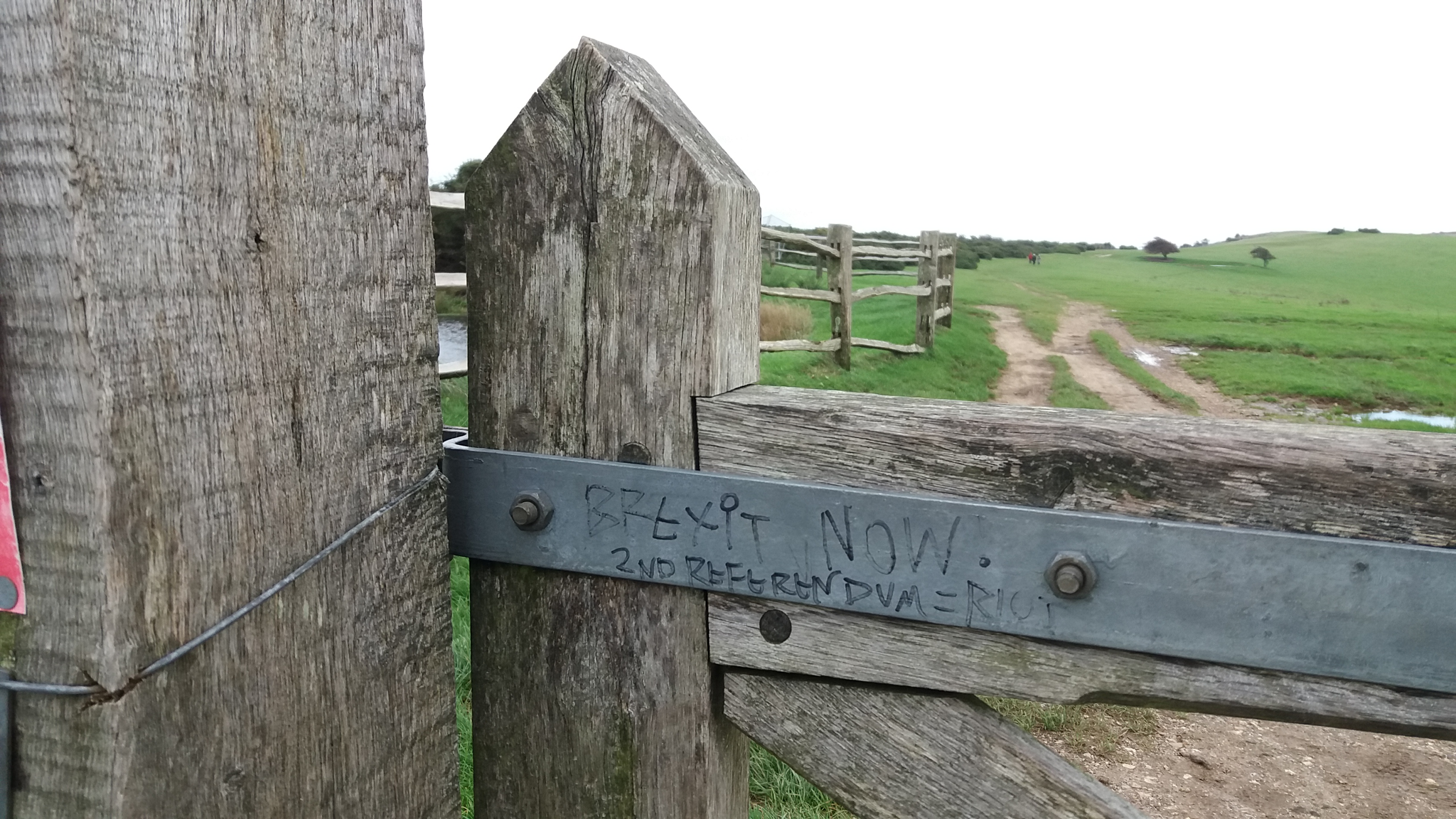
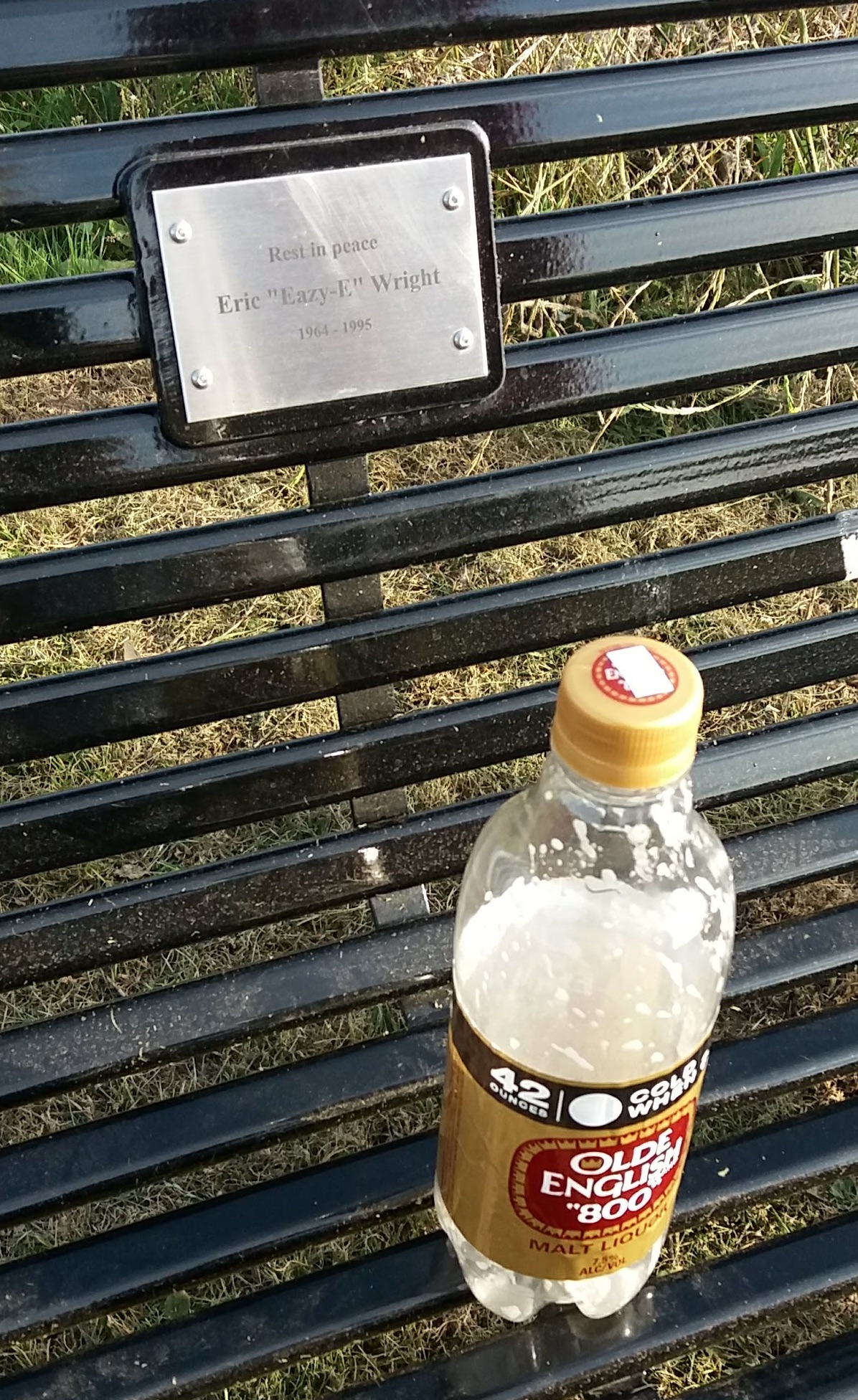
(The outing from this post took place in early November. It’s taken me a while to finish this, but I wanted to share it)

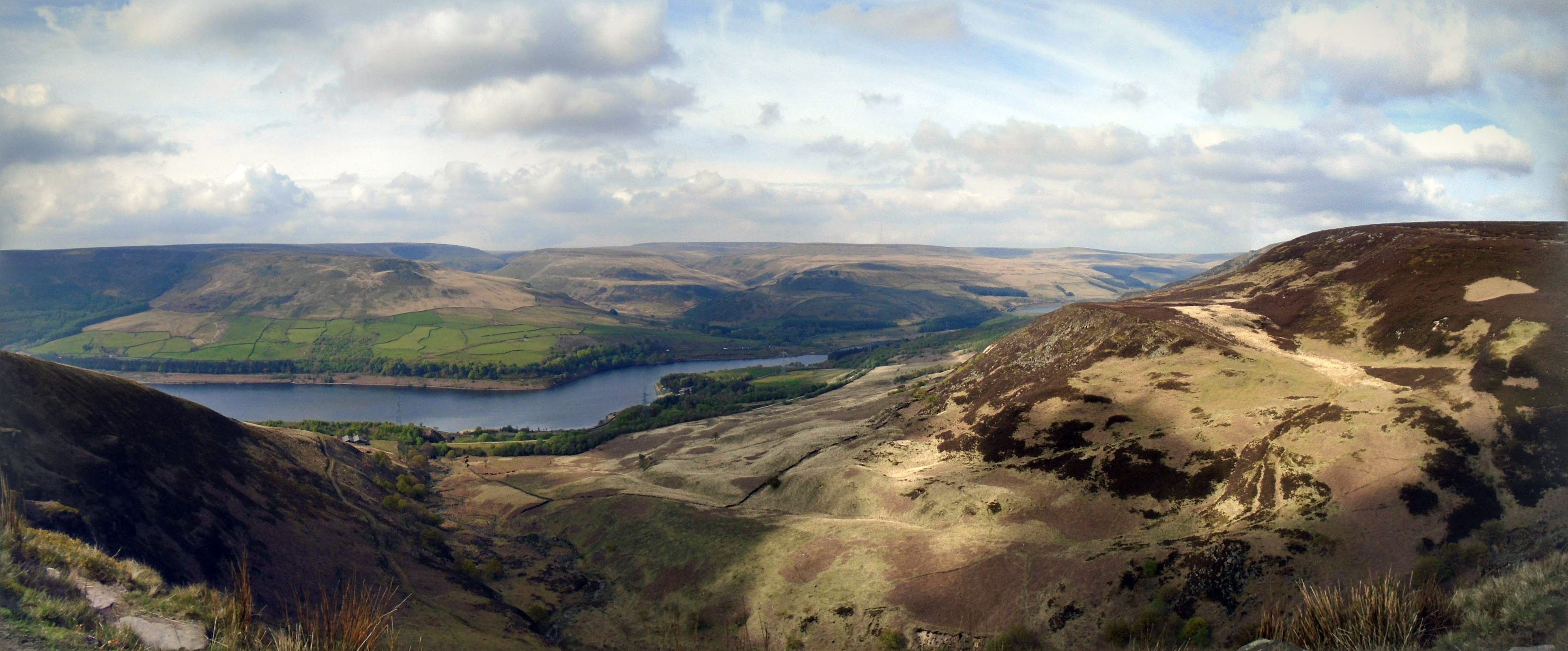
Sussex has never felt all that rural to me. Even though I grew up running through fields and woodlands, I lived in a suburban housing estate. I was as captivated by TV and early computer games as I was by the countryside. And the land around the estate didn’t feel particularly wild. There were few large animals, and the only danger came from ‘strangers’.

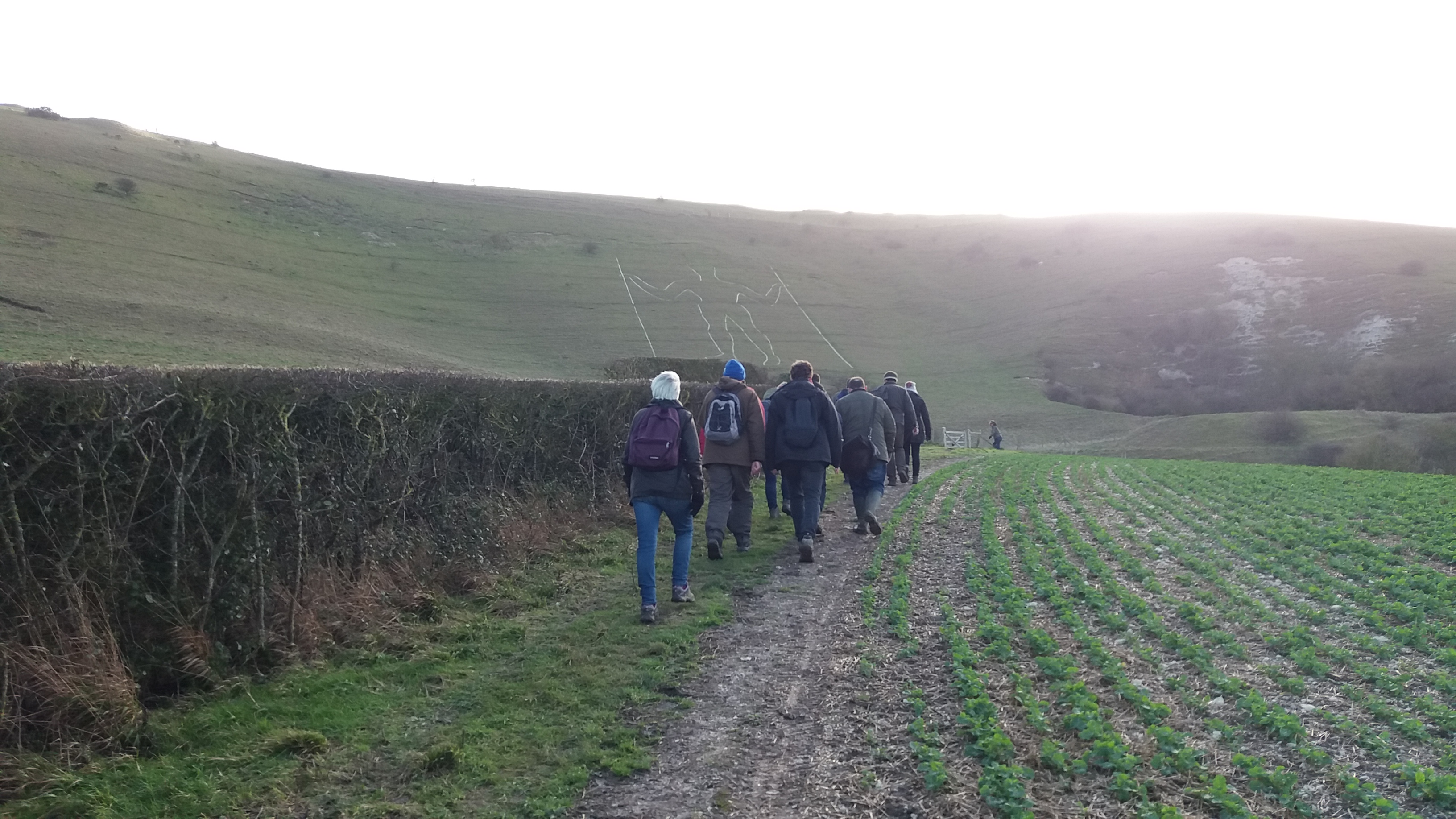
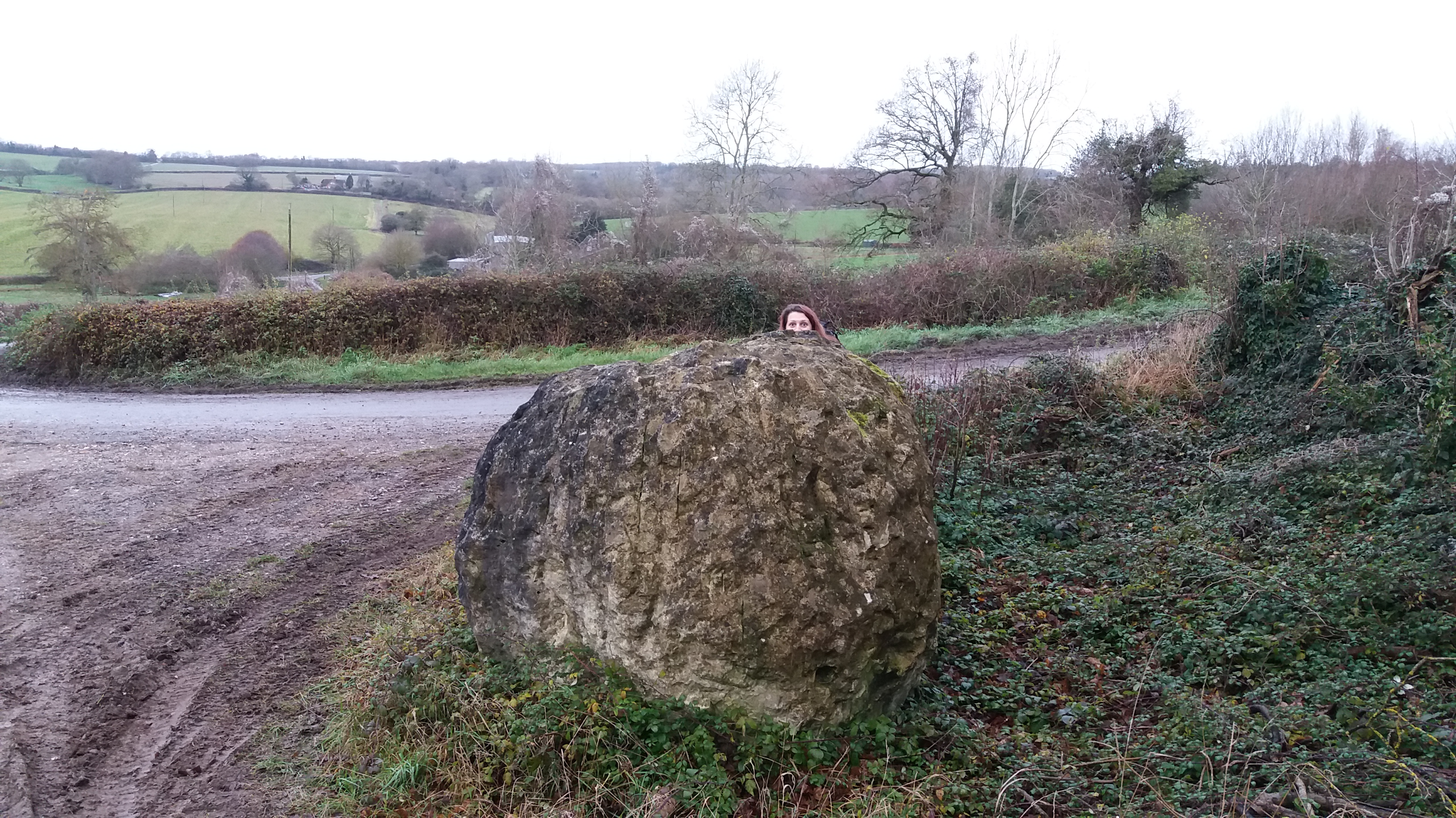
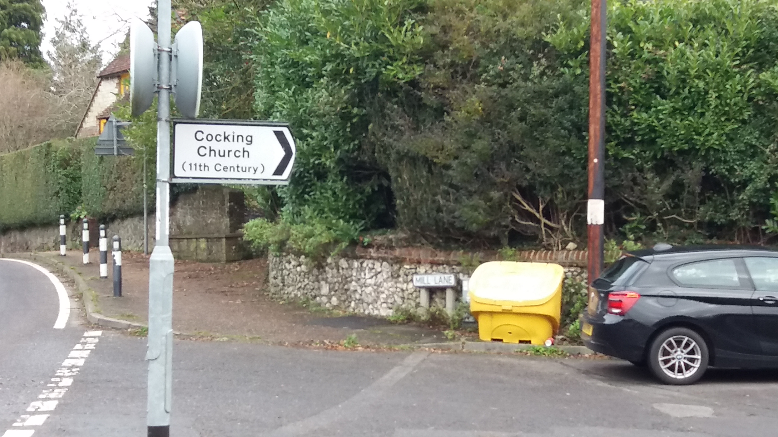
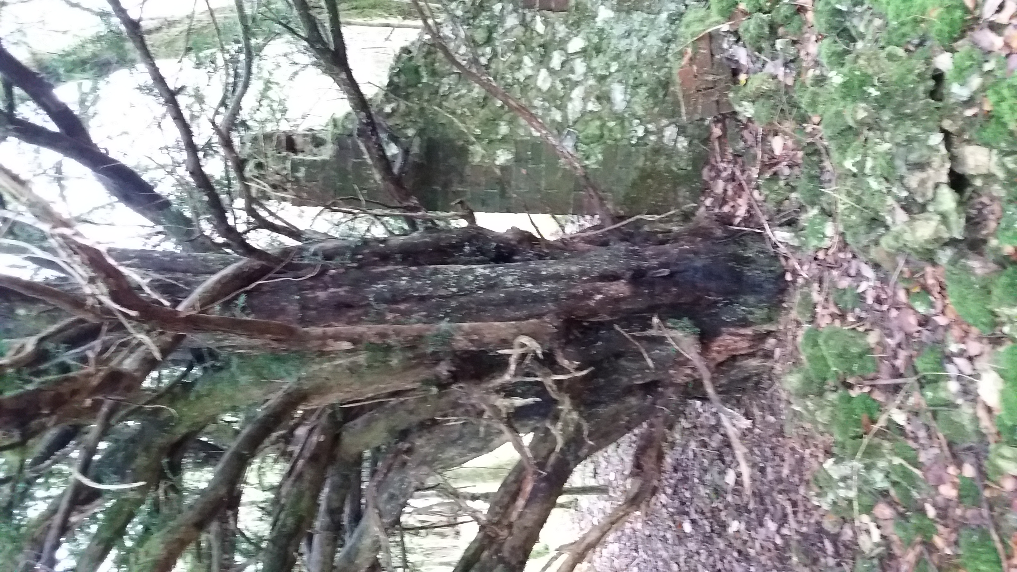
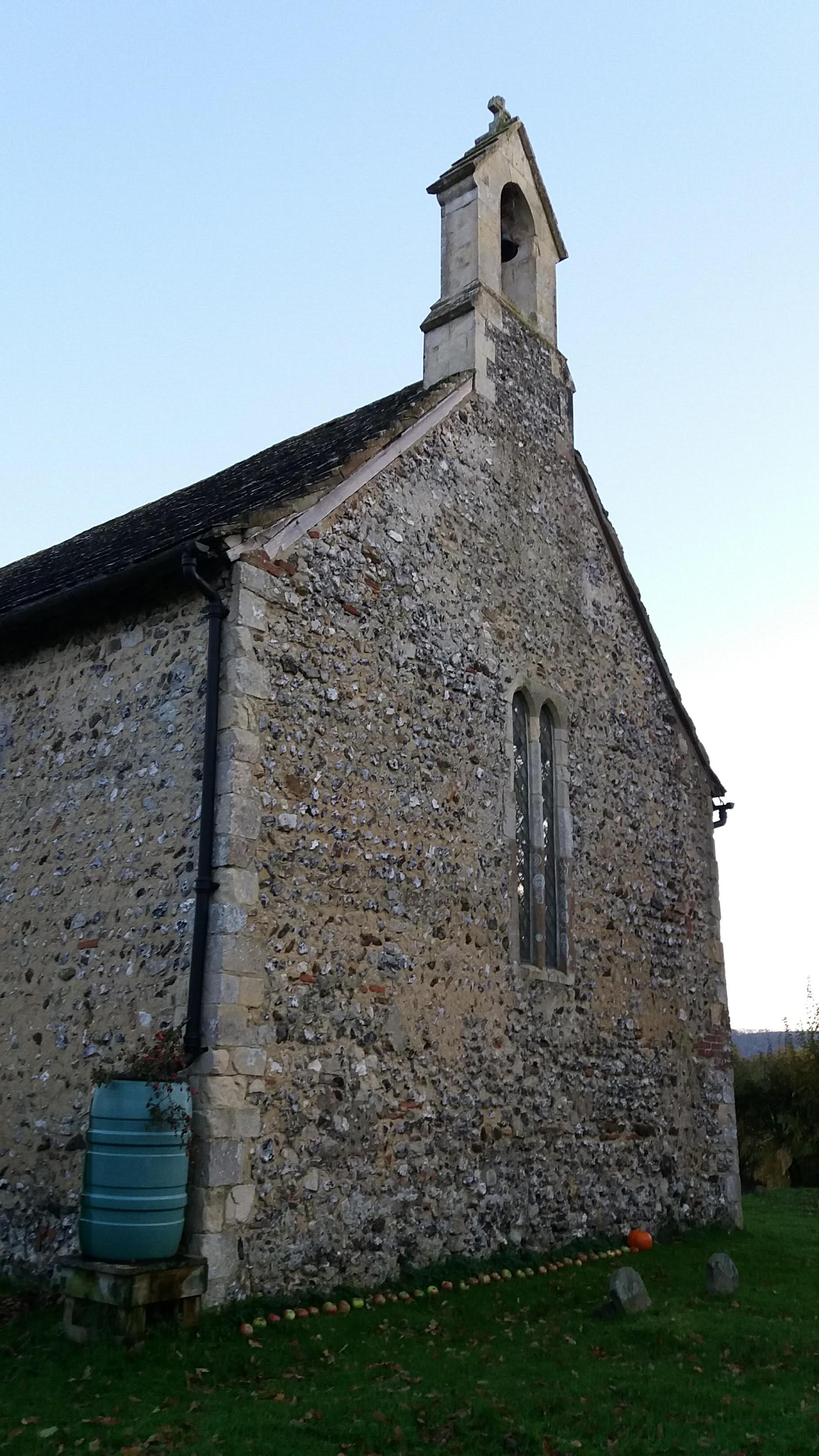
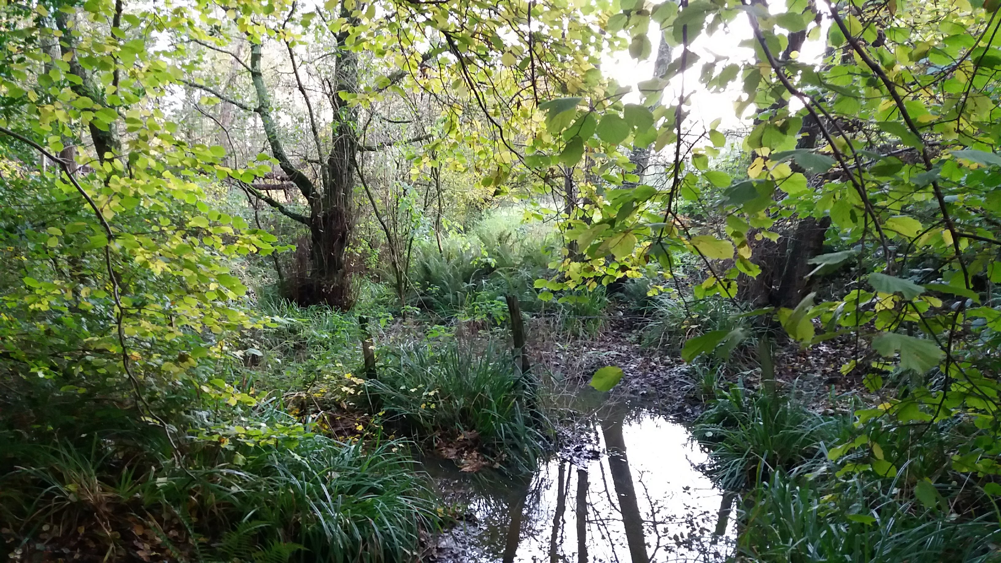
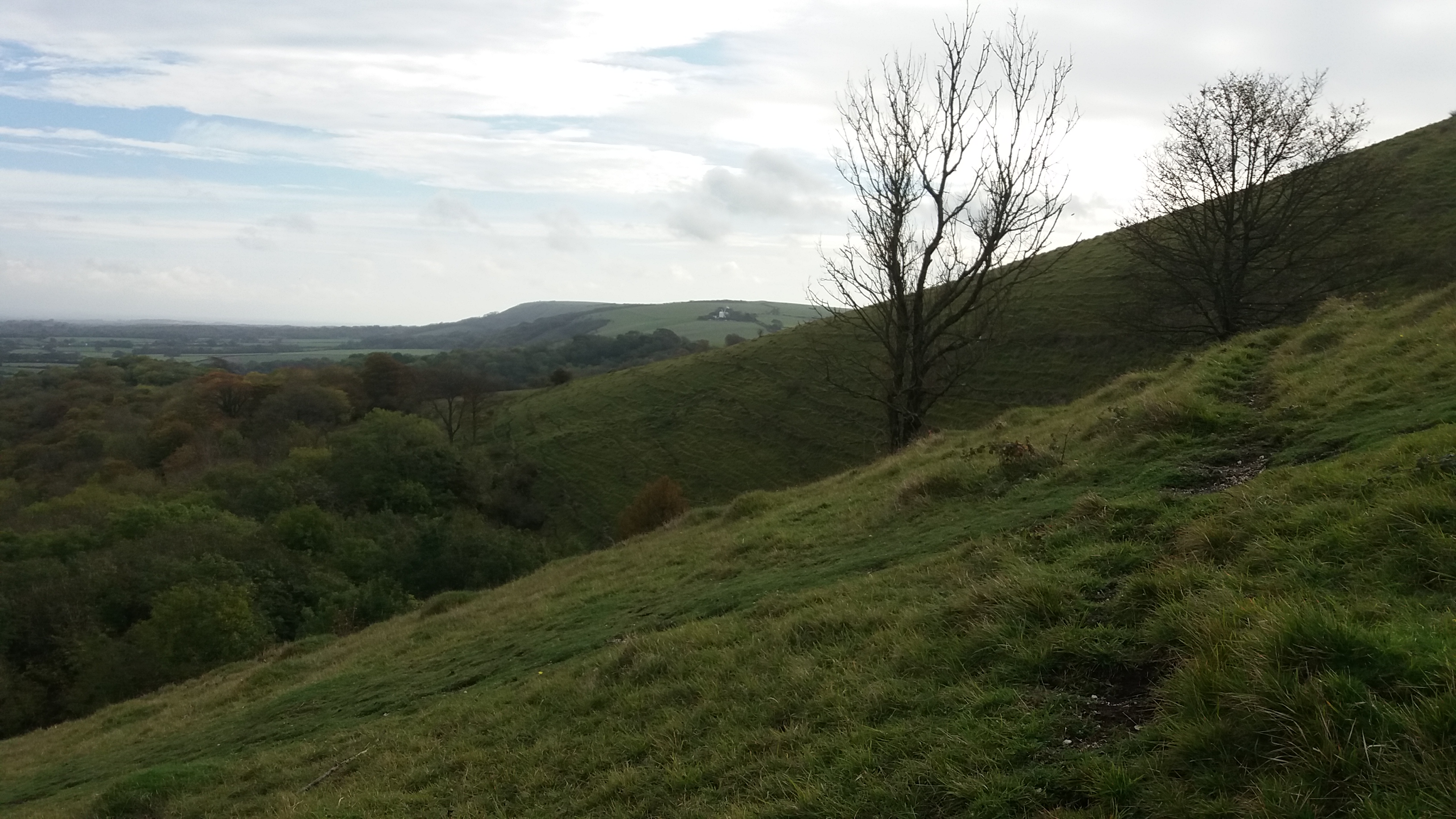
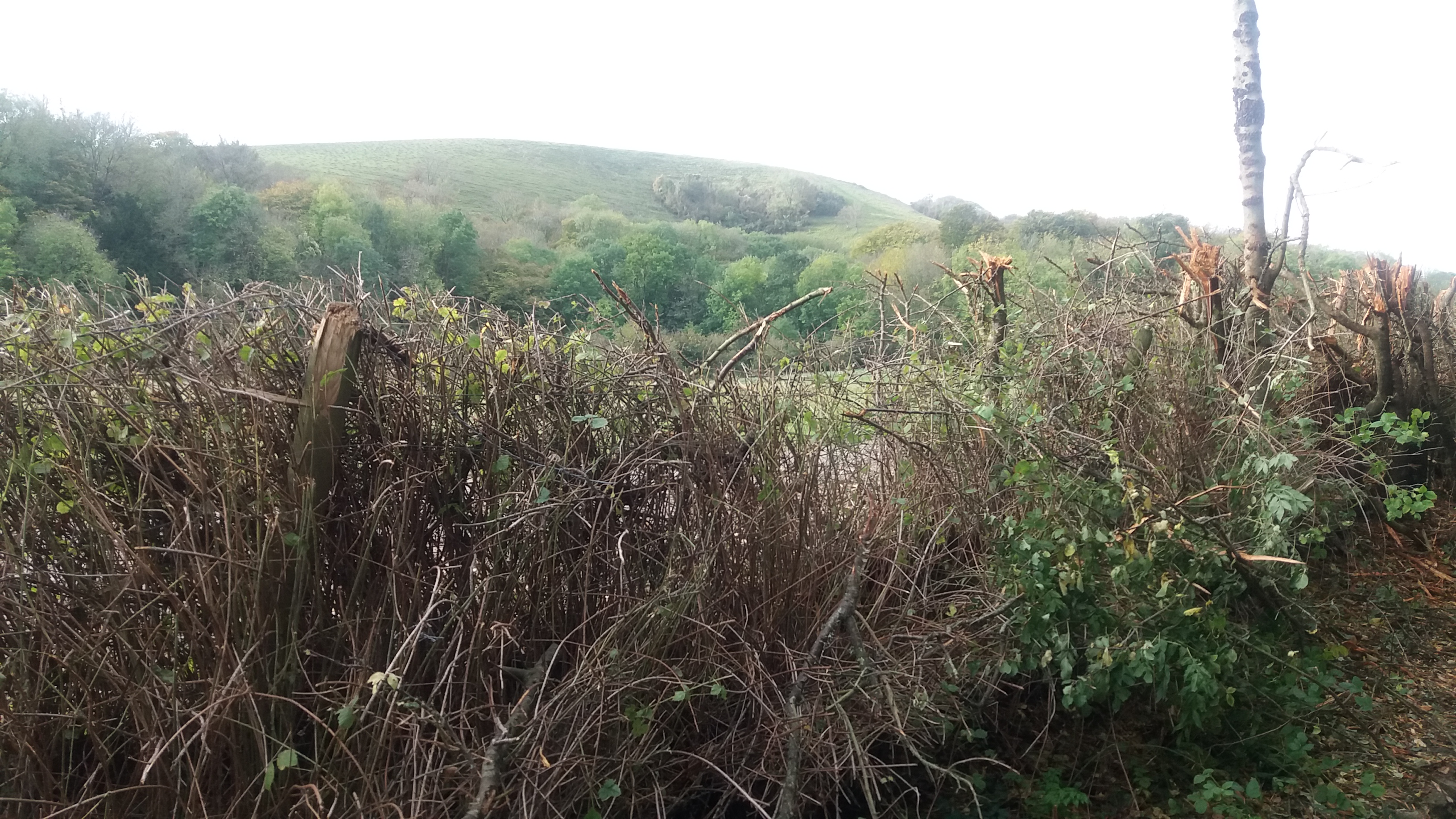
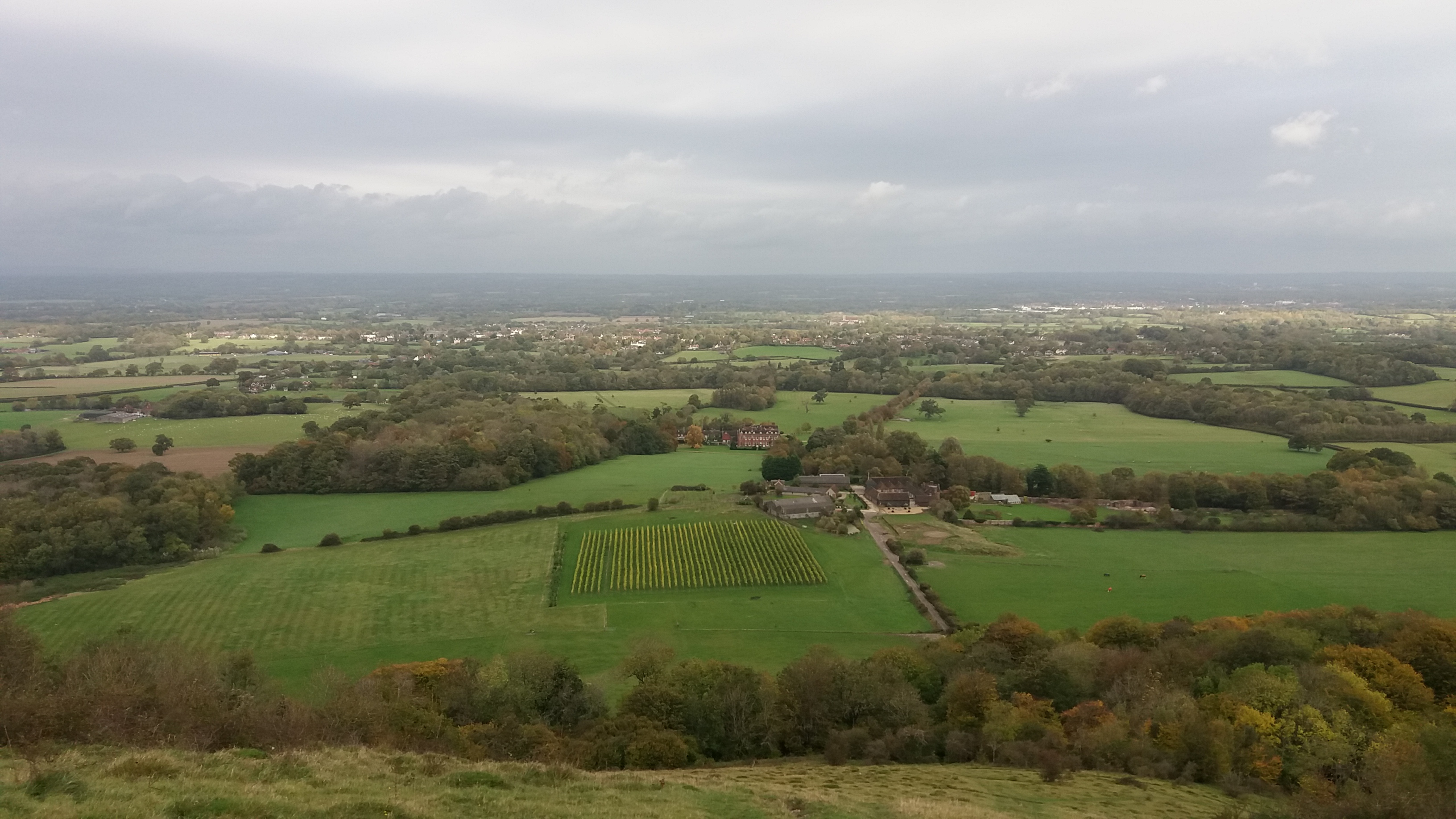
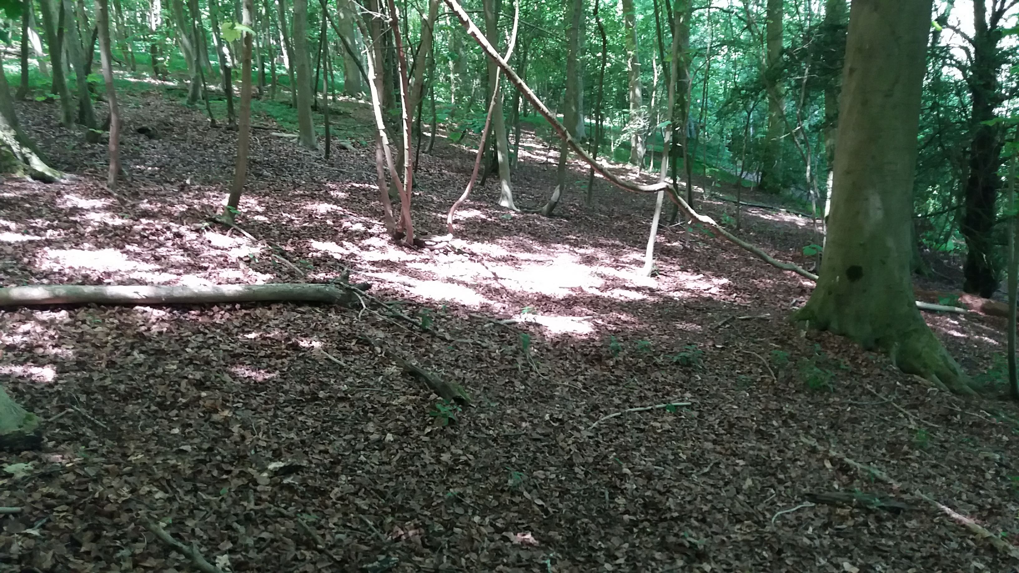
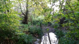
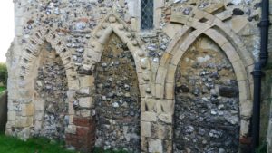
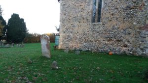
Buncton Church, near Steyning, is only a few miles from where I grew up. From the road, there is only a small sign in a lay-by, and some steps going into the trees. I had been driven there with my friend Sooxanne by Matt Pope, who was going to show us the church. The path from the road to the church enters a small wooded valley, crossing a spring-fed stream before rising towards the church. If you were designing a rural church setting for a video game, this is the sort of thing you’d come up with.

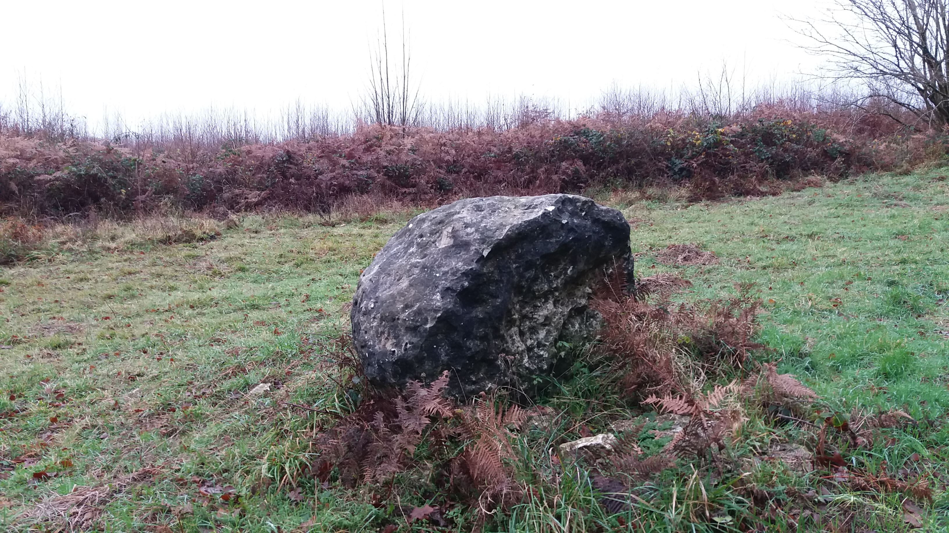
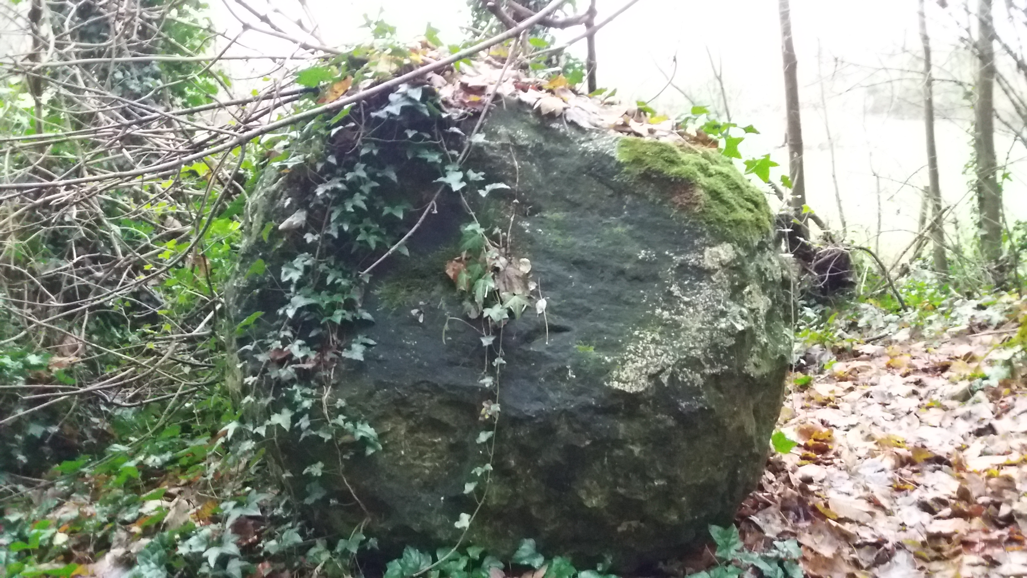
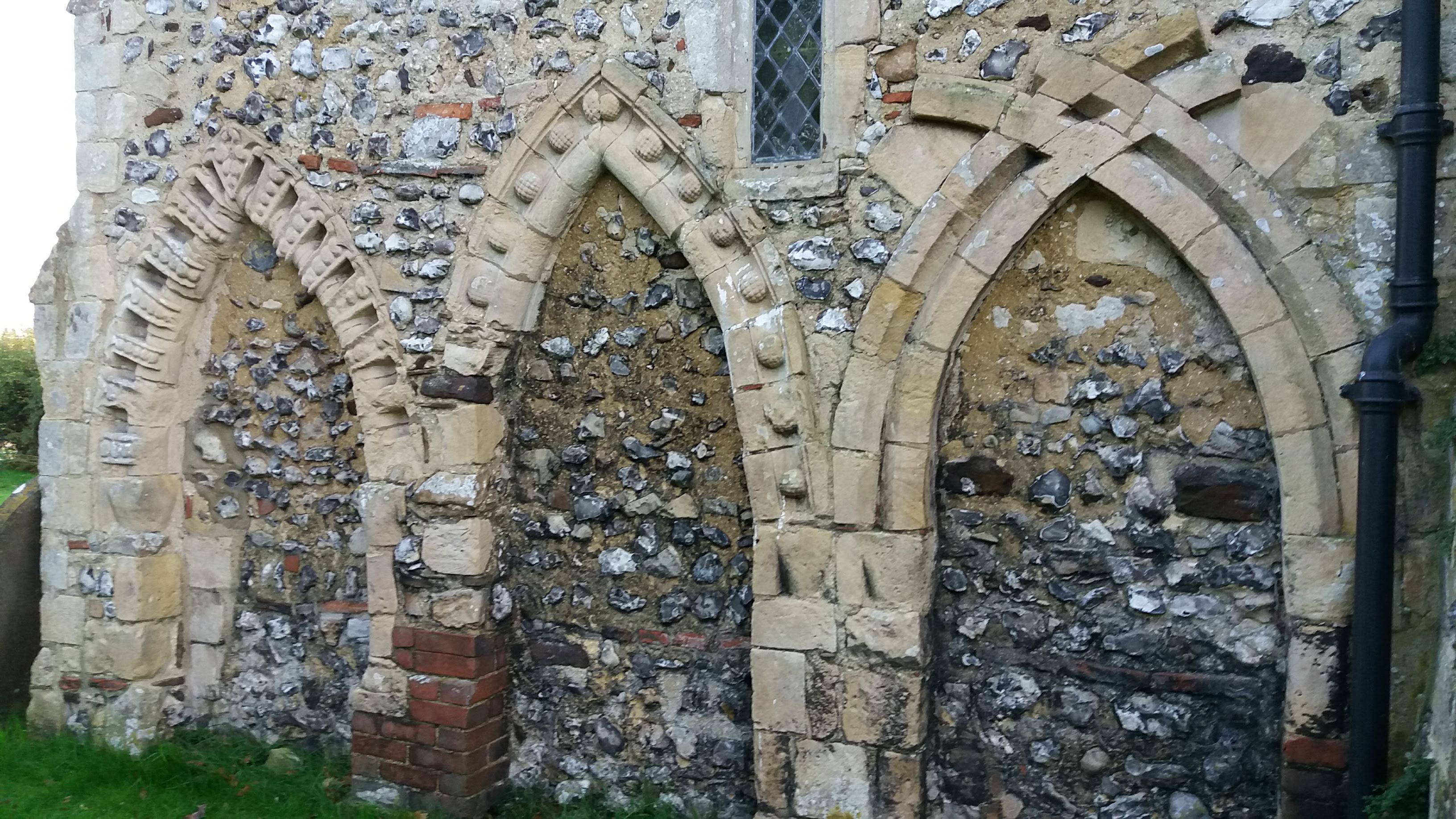
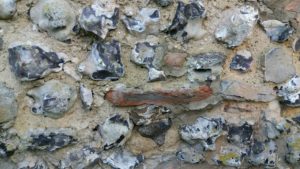
One of the things I love about the world is how incredibly textured it is. Everything is rich and detailed, if you know enough about the subject. The church is 900 years old, and Matt showed us how the stones had been brought together from other buildings. Some Roman bricks had been used in the church wall, and Matt showed us how their centre isn’t properly fired, retaining a grey clay colour.

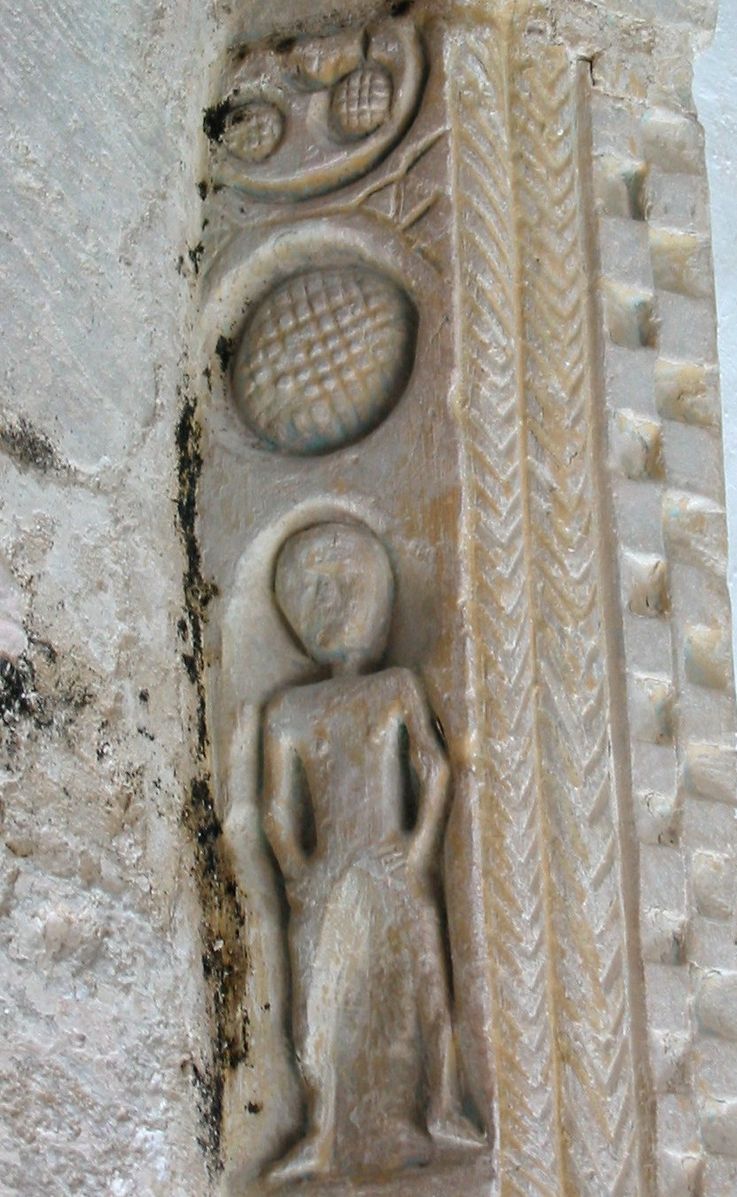
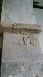
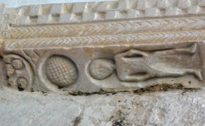
We were at the church to visit a sheela-na-gig. Or, rather, we were there to visit the absence of one.

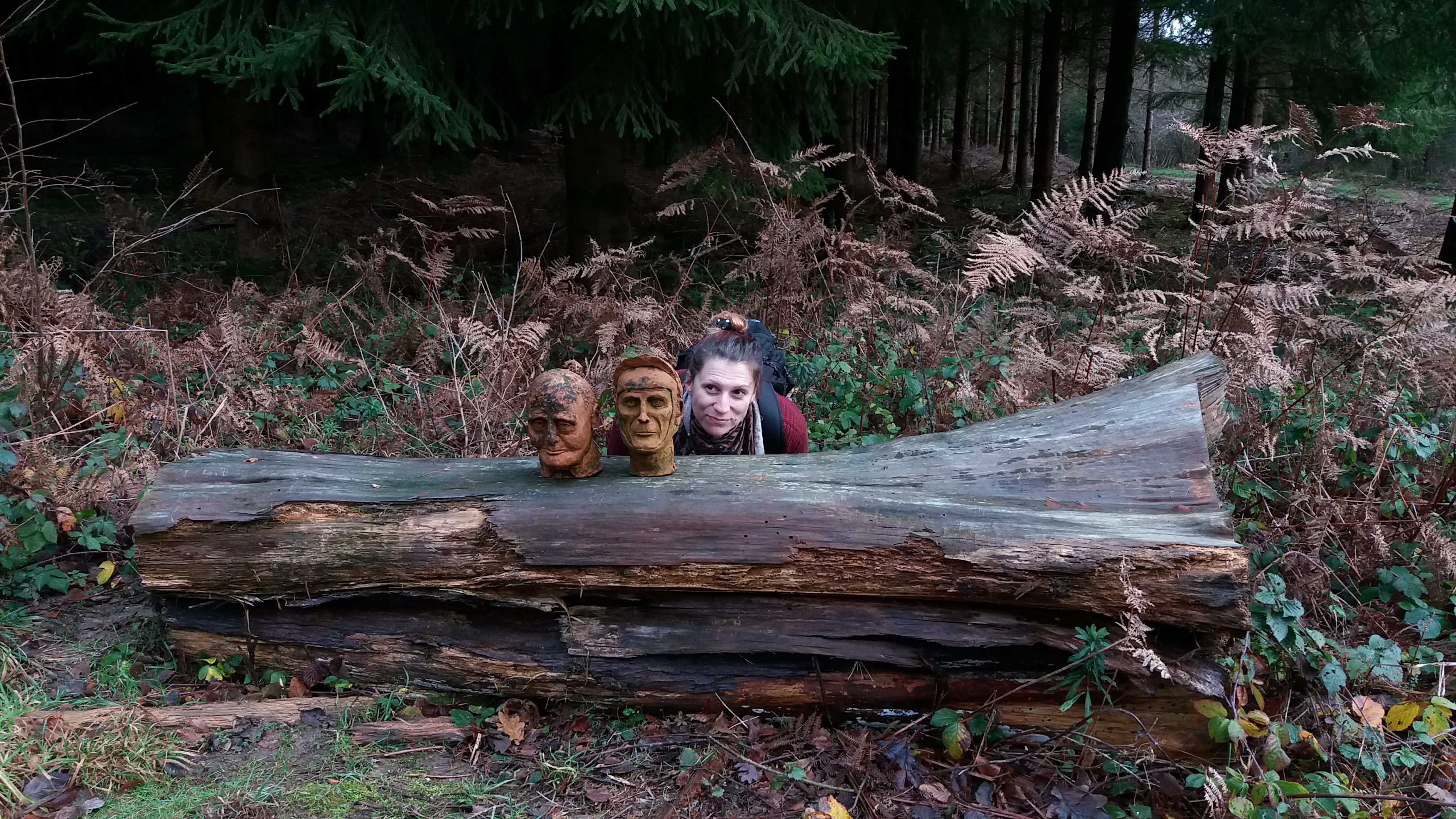
A Sheela-na-gig is a church sculpture of a naked, sexual, female figure. I’d first heard the word as a teenager in the PJ Harvey song, which I first heard on a mix tape a friend made me. That song has the sort of energy you’d expect from these figures (which are often – with  some sexism – referred to as ‘grotesques’). The figures tend to occur in the West of Britain and in Ireland, and it is rare to have one so far into the South East.

This particular Sheela-Na-Gig we’d come to visit might have originally been a sculpture of Adam. The area between the statue’s legs was hacked out long ago, possibly removing a penis. There is also a space opposite the statue which has been renovated at some point, that might once have housed a corresponding Eve. The figure had likely been in the Buncton church for centuries, since it was built.

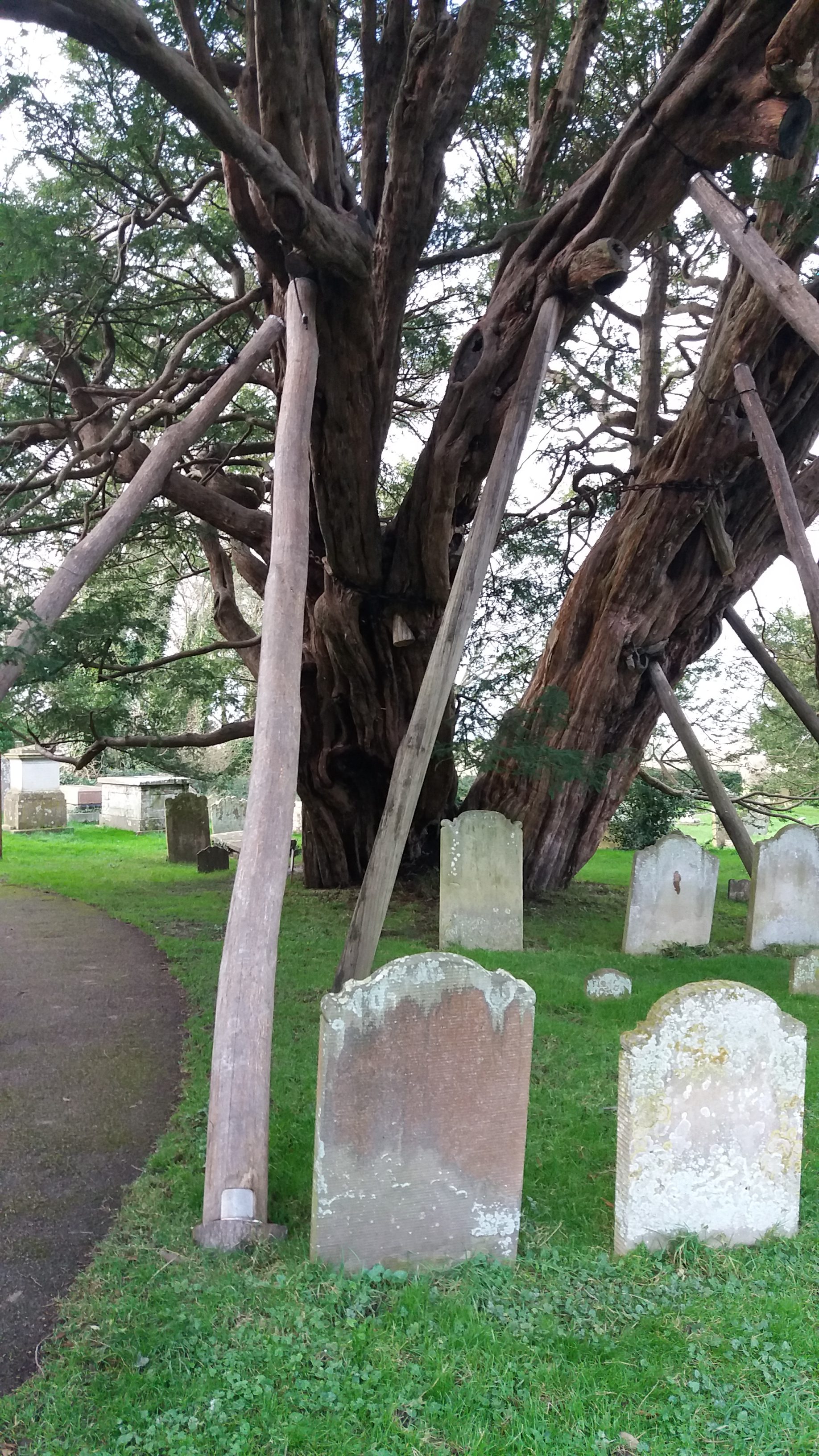
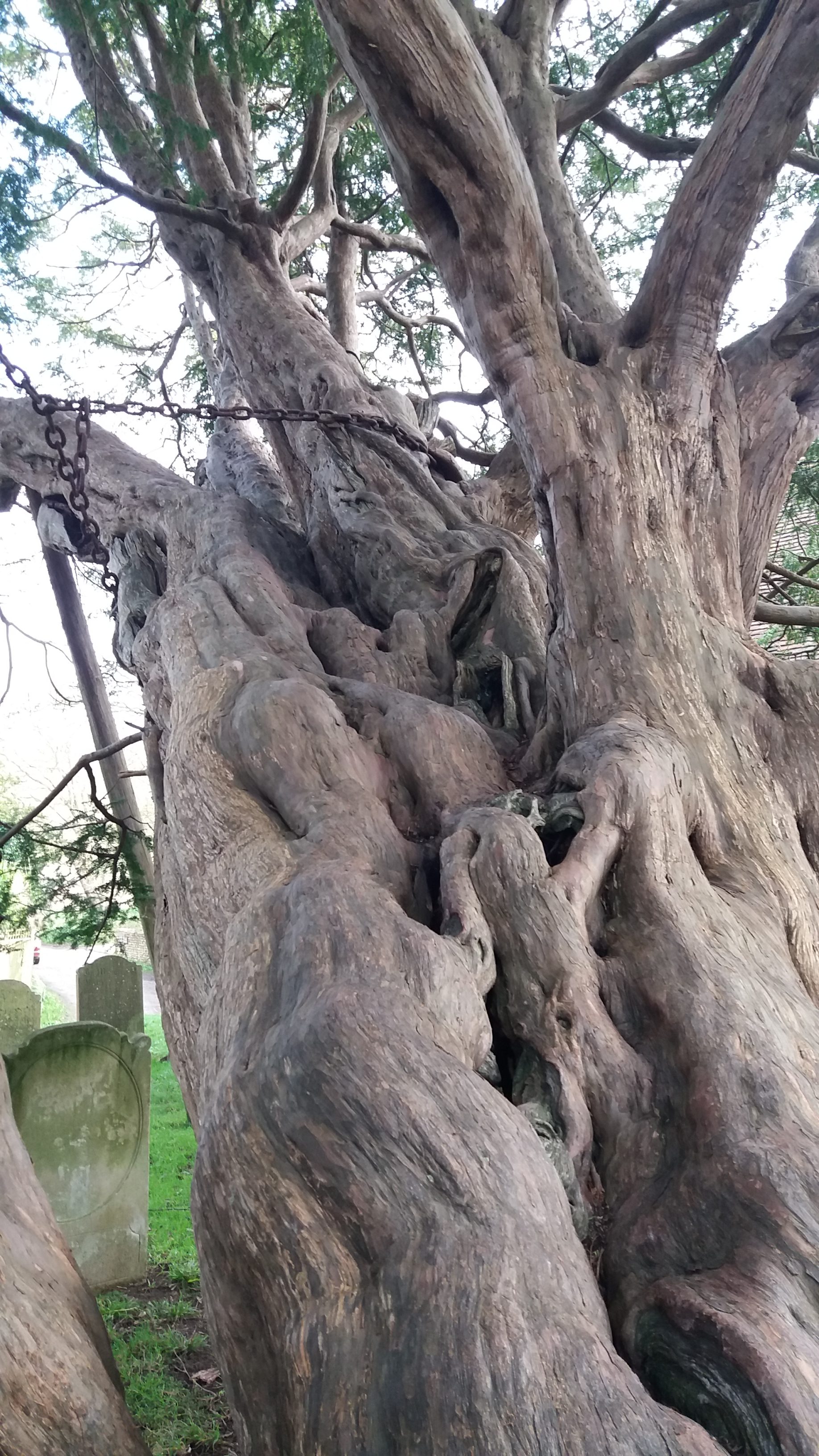
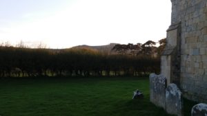
There is a lovely description of Buncton church in Justin Hopper’s book The Old Weird Albion. The passage captures the strange, mystical peace of the place, and its feeling of dense age. Justin refers back to Arthur Beaton Cooks’s 1923 book, Off The Beaten Track in Sussex, with its description of Buncton as seeing “the survival of old rites, which began in pagan times, and did not entire change with the advent of Christianity… One may regard the hill-top as being as near to Christ as to Wodin”. The church does feel lost in time, with the weathered gravestones, leaning as if tired.

The church interior is a simple space, with wooden altar and a few small pews. The walls are simple and painted white apart from one place, where a fleur-de-lys pattern is visible “as if a hole had been opened in the history of the space”. And then there is the Sheela-na-gig. All that remains is a gap, “another spirit added to Buncton’s swirling maze”.

The Buncton Sheela-na-gig had been famous. It was conveniently located for local pagans who wanted to visit one of these statues without a long journey. Votive offerings of flowers were sometimes left at the statue, which most people saw as a good thing, although they were less enthusiastic about the fertility rituals that sometimes took place.

After centuries of controversy, on 10th or 11th November 2004, someone took a chisel and gouged the figure away, leaving splinters of stone at the pillar’s base. The police apparently had a suspect, but no action was every taken. There is not even a photograph of the sheela-na-gig in the church, as some people still see the “unchristian” carving as malign.

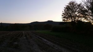
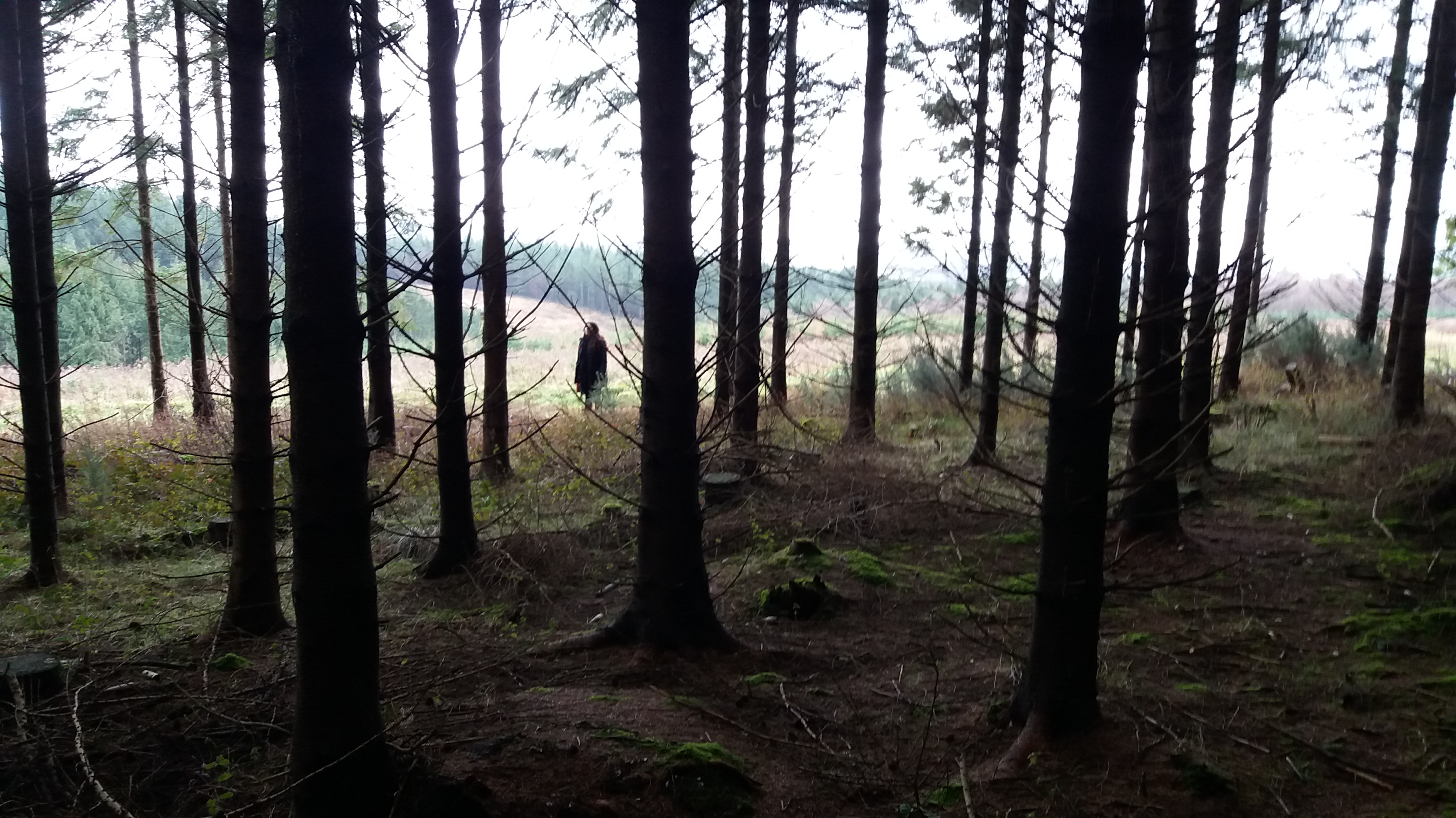
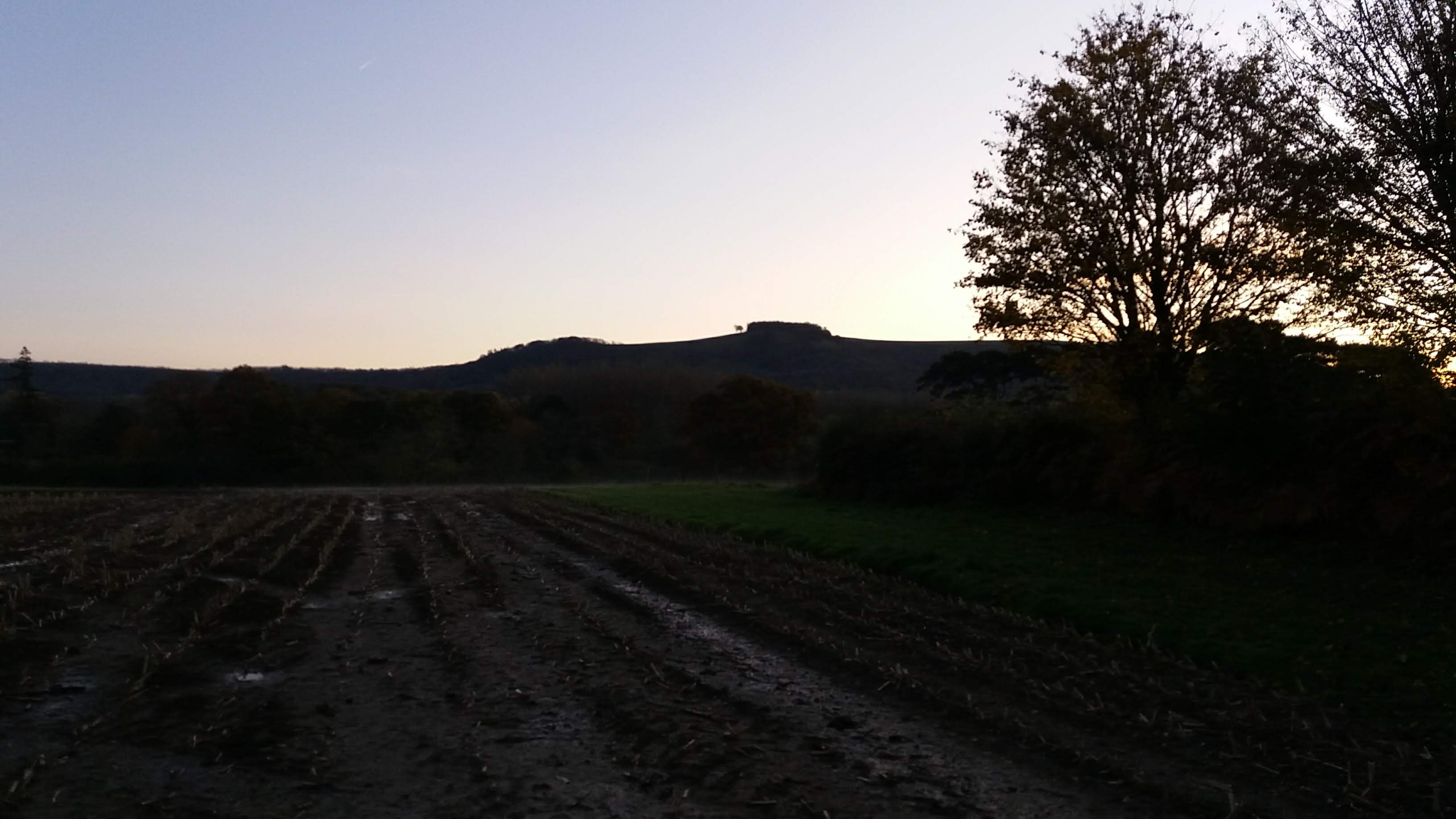
We walked out onto a field, looking in the plough-tracks for more traces of roman brickwork, maybe some vague clue to what was here before the church I found something too light and flat to be a natural stone, which was probably a mediaeval roof tile. I slipped it into my pocket.

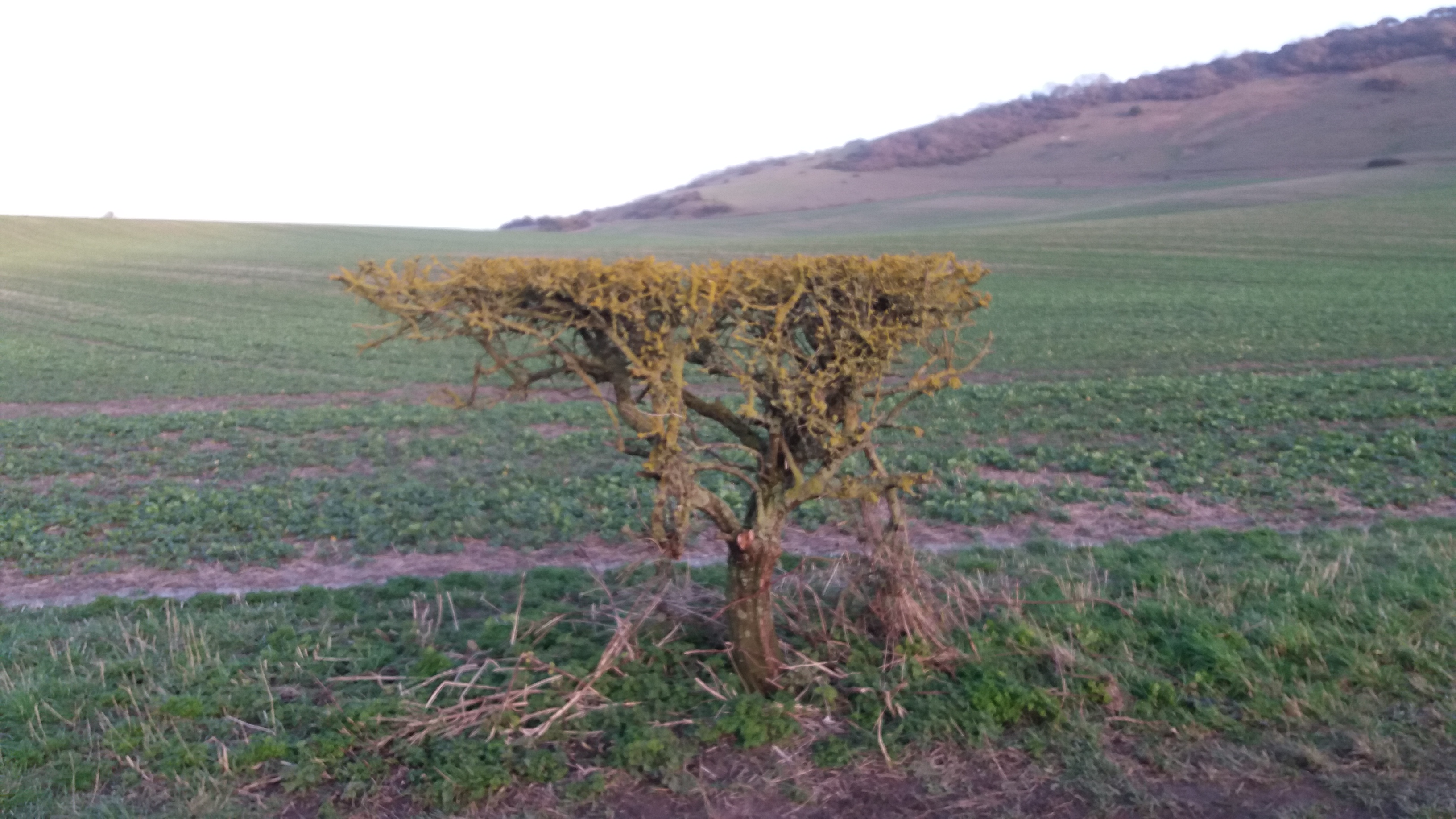
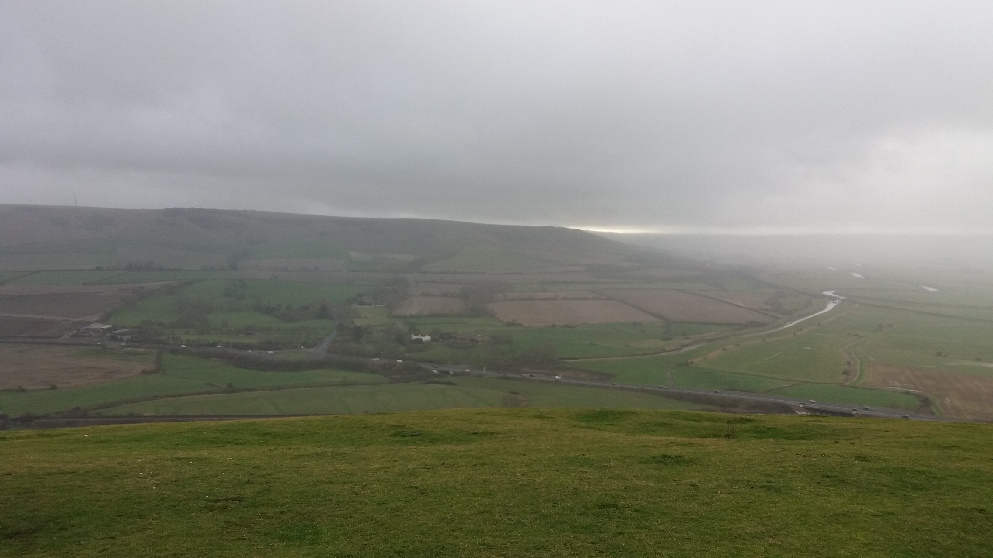
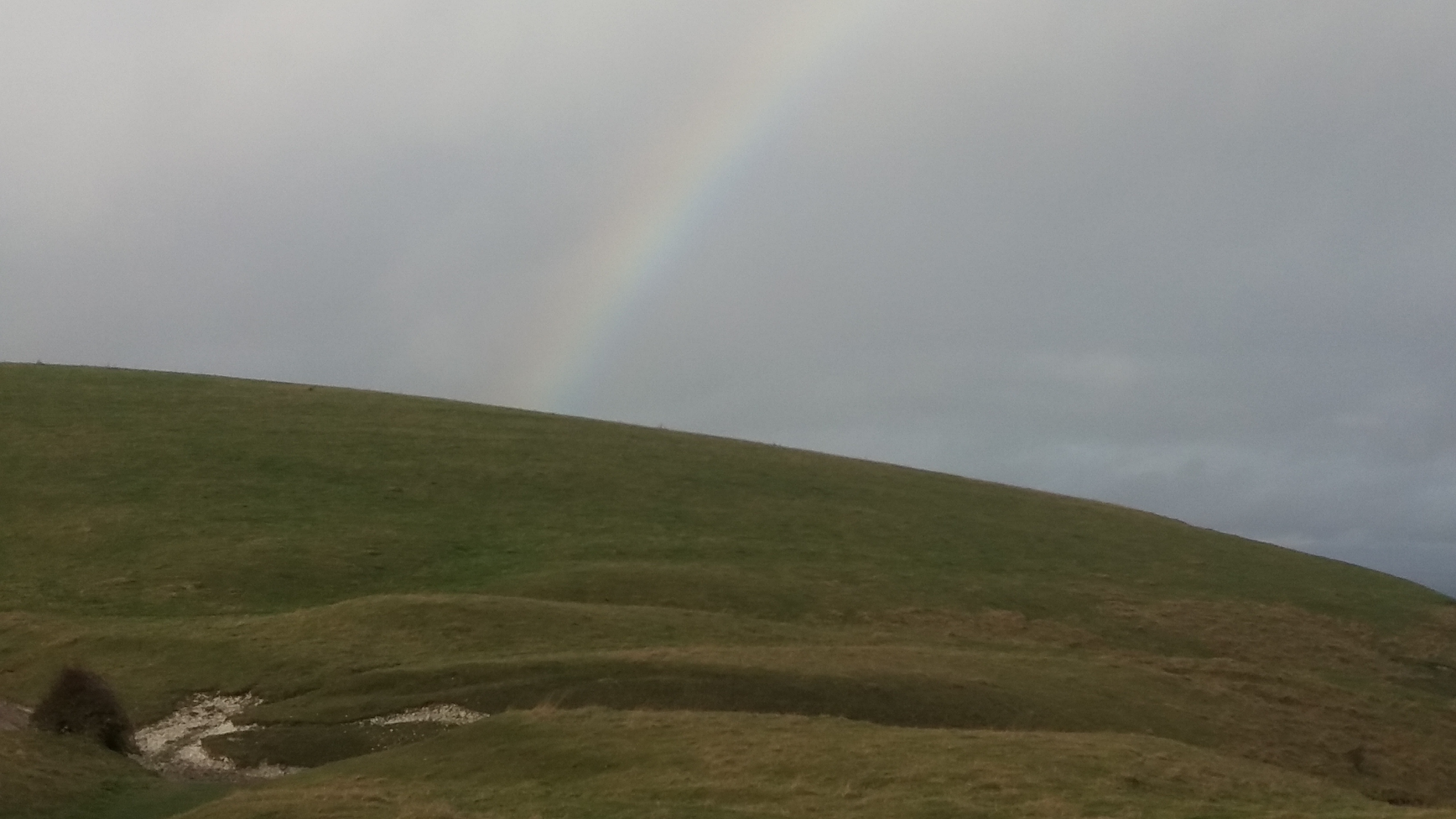
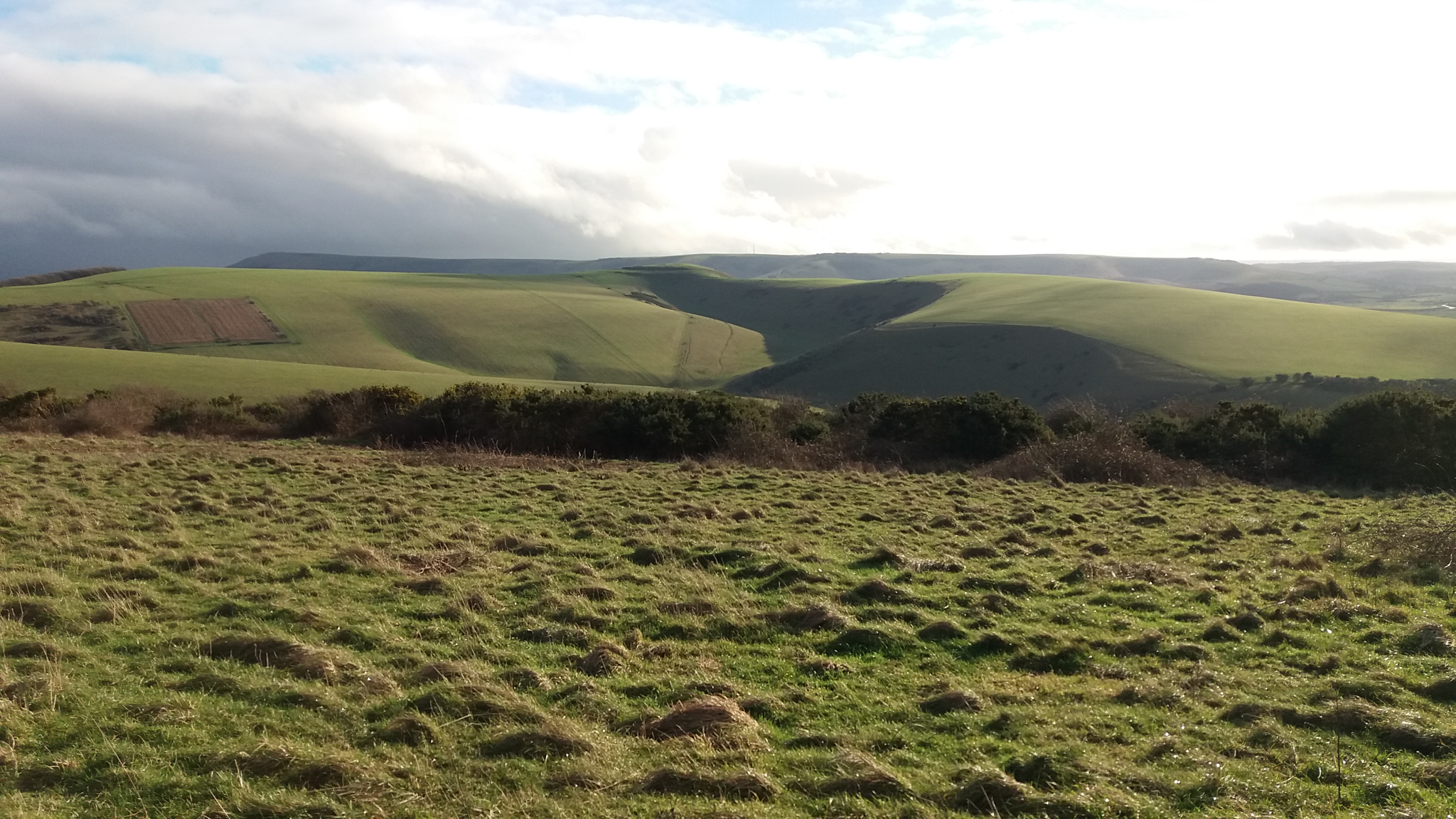
The day was fading. A bright red moon hung just above the trees, and mist gathered on the field. This was a wilder Sussex than I had become used to after years of living in Brighton. That little church in Buncton, not even a road to reach it, felt like a time machine. And, even though its physical form is gone, the Sheela-na-gig is still there in the empty space.

A Sussex Hill Pilgrimage

I sometimes go too long without a proper walk. On the last Saturday in October, I needed to go to Lewes for an evening event, so I decided to walk there. There aren’t many routes from where I live – it’s basically Rottingdean/Balsdean or the Juggs Road. In the end, I took the train to Hassocks and walked via Wolstonbury Hill, following the line of the Downs west.

The climb up Wolstonbury is steep but, even so, I was surprised how hard I found it, and how many times I needed to stop for breath. I’d managed the steps of Swayambunath temple without stopping (thereby gaining enlightenment in this lifetime), but this less remarkable hill proved too much to do in one go.

Wolstonbury is a significant place to me. Every year, on ascension day, my school would climb the hill for a small religious service at the summit. The tradition was taken from an Oxford college when the school was young, in order to give the new institution a feeling of tradition. Standing on the top of the hill, blown about by a strong wind, the scene was very different, much bleaker than the summer day of the ceremony.

I have a weird memory from Halloween when I was 14 or 15, watching lights moving up the dark face of Wolstonbury. There were rumours of black masses being held there. The priest at the final Ascension Day service I attended described the ritual we were performing as a ‘white mass’.

Apparently Wolstonbury once had a chalk figure. The only mention I can find online is one in Hurst Life magazine, which claims it appeared in October 1959 as a rag week stunt. Apparently there is a photo of this figure from the Argus, and another in the Herald. The article goes on to say “(another) chalk lady was cut in Wolstonbury some ten years later”. I went to a National Trust talk a few years back, and I’m sure that they talked about a chalk figure that was placed on the hill by soldiers, who were training nearby for D-Day. Sadly, a new job means it will be some time before I can look into this any further.

From Wolstonbury I headed East, following the South Downs way towards Lewes. I’d done the route before a number of times and it felt slightly unengaging on such an overcast, blustery day. The ground was damp and there was little shelter from the wind, so I didn’t bother with any seated stops.

And, of course, the walk was haunted by Brexit. Someone had written slogans of protest on the gates near Ditchling Beacon. Some of it was depressingly racist, and I don’t know if it was the heartfelt pleas of a racist or a random troublemaker. But Brexit keeps intruding on my walks.

Sometimes, when I am walking alone I take it too fast, making my feet and legs ache, hurting myself. This was one of those days. I ground out the miles, wanting to reach Lewes ahead of the rain. I ran out of walk long before I ran out of time.

The only problem was, I’d arrived about four hours earlier than planned. So, I headed to the venue for the night’s event and sat quietly in a corner reading. It was fun to watch the show come together, and helping out when needed. The show was awesome – aerial, contortionists and dancers. But my favourite act was the roller-skate/hula act. Even on a small stage, the performer glided and flowed. It was a good day.

A mystery in Stanmer Park: the ceremonial staff resting place

Sometimes, you find interesting things.

One of the big problems with hiking around Brighton is that it’s boring. The land here is arranged in strips. You have the sea which takes up 180 degrees. Then there is the prom, which is a nice walk, but I’ve done it literally a million times. Beyond that there is a strip of town, and it’s hard to get out to the country without trudging through it. Then you have the downs, which is a truly beautiful area, but there are certain east-west paths which tend to dominate. On the other side is the weald, which is full of interesting walks, but you’ve tracked about 5 miles to get there.

Any interesting diversion on these paths is welcome. I was coming from Ditchling Beacon and trying to find my way to Falmer campus, and wanted to get my walk over as quickly as possible. I’d walked from Patcham to the Chattri at the start of the day, taking an Uber to reach Patcham, as the walk the the bottom of the downs was so boring.

I was using google maps to find a direct path when I saw something interesting. On the map was listed a ‘Ceremonial Staff Resting Place’. The google maps marker was placed somewhere in the midst of a set of trees on a steep slope.

I know mobile phone GPS can be somewhat unreliable in the middle of nowhere, but I walked back and forth on the wooded hillside for a while, seeking some indication of what this marker might be for. I couldn’t find it, and after twenty minutes of searching had to give up.

It’s still listed on google maps, under the category “Home goods store.” I love how, even with electronic maps, there are still mysteries. Does anyone know what this might be?

A photo of the area near the ceremonial staff resting place.

The Kinder Scout Tresspass

One of the big surprises of walking the Pennine way was seeing how much space there is in England. As great as the South Downs National Park is, you’re never far from roads and pubs: it’s a thin strip through a densely populated region. Further north, particularly in the Cheviots, there is little visible sign of humanity other than the path itself and maybe a nearby fence.

Everywhere, those fences. Sometimes there are also signs saying who owns the land. Tramping through the countryside, you understand that the paths are ways through other people’s property, that these spaces belong to particular people.

The first section of the Pennine Way, just after Jacob’s Ladder, passes close to Kinder Scout, the highest point in the Peak District. Back in 1932 it was the site of what Roy Hattersley described as “the most successful act of direct action in British history“.

Back then, there was no right to walk across this area of the country. But, on April 24th 1932, a group of about 400 walkers was following the path when a whistle sounded. They stopped and turned to face up the hill. Another whistle. And, on the third sound of the whistle, they left the path and began to climb towards the Peak of Kinder Scout. Between them and the hilltop were a line of gate-keepers, some of them armed with sticks, who were ready to fight to prevent the trespass.

The group contained both committed ramblers and newcomers, who’d been invited by flyers, which promised: “Come with us for the best day out that you ever had”. The walkers were in high spirits that day, joining in songs such as It’s a Long Way to Tipperary. Among the organisers were a communist organisation, and the walk included some spirited renditions of The Red Flag.

The moor owners and gamekeepers were determined to keep ramblers off the Pennines. The area of land wasn’t farmed, but rather reserved for shooting on a few days each August. Despite this, there was no right to access these areas. The mass trespass didn’t reach the top of the hill, and there was some hand-to-hand fighting, in which a gamekeeper was injured. The police arrested five or six people who were soon put on trial. The arrests were for the violence rather than the trespass, which was not a criminal offence.

At his trial, the ringleader, Benny Rothman, delivered a prepared speech.

We ramblers, after a hard week’s work [living] in smoky towns and cities, go out rambling on weekends for relaxation, for a breath of fresh air, and for a little sunshine. And we find, when we go out, that the finest rambling country is closed to us. Because certain individuals wish to shoot for about ten days per annum, we are forced to walk on muddy, crowded paths, and denied the pleasure of enjoying, to the utmost, the countryside. Our request, or demand, for access to all peaks and uncultivated moorland is nothing unreasonable.

Rothman was sentenced to four months, but had began a process that led to the National Parks act and the establishment of the National Trails. That was a long process, however. Some groups resisted these changes, such as The British Waterworks Association, which opposed the 1939 access to mountains bill because of  “the tendency of such areas (ie mountains and moorlands) to become a resort for undesirable characters among whom immorality and licentiousness is rife

In his book Watling Street, John Higgs points out that of the UK’s 52 million acres, a third is owned by 1200 aristocrats and families. Much of this is transferred through trusts without tax, allowing land to be stockpiled – only 100,00 acres comes on to the market each year. There is no cost to owning this and keeping it out of the hands of others. Higgs quotes Lloyd George: “Who made 10,000 people owners of the land and the rest of us trespassers in the land of our birth?

Eazy-E: Pilgrimage to Newhaven

I first heard Eazy-E around 1990. His verse on Gangsta Gangsta stood out, even on a record that sounded like nothing I’d heard before. Of course, part of it was the edginess of the language – but more than that was the anger and energy. Ever since then, I’ve loved hip-hop. I think that love is more nuanced now, and these days I find misogyny hard to listen to; but no art since has blown me away like those three tracks from Straight Outta Compton copied onto a C-90 cassette.

Yesterday, I made a pilgrimage to the English seaside town of Newhaven, where there is a bench in memory of Eazy-E. There’s an element of hipster prank to the whole thing (and the tedious Lancing/Tupac thing plays into this). But there is also a genuine love at the heart of it.

I donated to the bench crowdfunder because I loved the incongruity of it. Another thing I liked about hip-hop from the start was the sense of place. Hip-hop is rooted in locations and neighbourhoods a long way from Sussex. NWA would speak about their neighbourhood of Compton, a city about half the size of Brighton. But hip-hop has reached out from the US round the world. And I remember my first visit to Brighton’s Slip-Jam B night, where someone promised to “tear through Sussex like the Norman conquest“, the first time I’d heard someone rap about places I know.

Even in Brighton or Henfield or Newhaven there were people listening to Eazy-E, feeling a connection to Compton, as ridiculous as that might sound. And a bench memorialising the man who spoke about that city, in a quiet riverside park… that seems right.

It was a good walk, along the cliffs from Brighton, in glorious weather. I have some September sunburn on the right side of my neck.

It’s been an odd weekend for musical memories, with a Tori Amos tribute night on Friday. At the same time I was listening to misogynitic hip-hop I was also obsessed by female singers such as Tori Amos, Courtney Love and PJ Harvey. The Tori night was incredible and I need a little more time to think about it before writing anything. But I will.

Re-tracing the Pennine Way with Simon Armitage

I started reading Walking Home, Simon Armitage’s book on the Pennine Way, just before Armitage was appointed Poet Laureate – and I considered giving up on the book right then. Benjamin Zephaniah has already explained why honours in the name of the British Empire are a bad thing:  Armitage has compounded the shame of his CBE with his recent appointment as a paid flunky.

Still, Walking Home is not a bad book. At the start, Armitage slightly oversells the toughness of the walk – I guess he’s trying to add some drama – but I’ve seen some fairly unfit people get by just through persevering. The book that follows is a gentle description of the people he meets, the scenery and his poetry gigs along the way.

The best thing about the book was reliving the trail. Armitage does it in the less popular direction (i.e. into the wind) and was unluckier with the weather than most people – his experience of Pen-y-ghent was as rough as mine. There are some great descriptions, particularly an early one of the Cheviots – “The view in every direction is delicious: a solar system of summits, majestic but benign hills overlaid with lush grass and the odd rectangle of planted conifer., And, somewhat incongruously, in the far distance to the east, the sea.

While Armitage says he wouldn’t walk the trail again, the book made me want to go back, not least because of things I’d missed. For once, I didn’t realise that Jodrell Bank was visible from the Pennine Way. And I’d love to walk the Cheviots again.

There’s something interesting about how walkers can have such different experiences of the same path. It reminded me of the way we interpret texts differently, based on what we bring to it ourselves, and the conditions at the time. The route might be the same, but the walk is different – just like we have different readings of the same text.

And there are similarities too. Armitage had the same sensations of space as I did, the amazement that our ‘overcrowded island’ contains areas so wild, so barren. Armitage also wonders about the flagstones, a thing of controversy for some walkers, since they make difficult paths accessible in tough weathers. Armitage points out that these huge stones are sinking and will, in time, disappear into the moorland.

The most disappointing thing about the book is that Armitage does not actually complete the trail – he abandons the final day for the comforts of home. I’ve spoken before about how we pick our own rules for hiking. But when you’ve chosen the terms of your walk, you have to complete it on those terms. Armitage’s failure to complete the last stage is only mentioned at the end of the book, where he tries to frame it as something that doesn’t really matter. This seemed dishonest.

Not completing the route is something of a trope in successful books about hiking, as Robert Moor pointed out in a 2015 New Yorker article, Why the Most Popular Hiking Memoirs Don’t Go the Distance. Discussing Bill Bryson’s A Walk in the Woods, Cheryl Strayed’s Wild, and Paul Coehlio’s The Pilgrimage, Moor asks “why are the three most famous accounts of hiking three of the world’s most famous long-distance trails written by people who did not hike the whole distance?” It’s a good question, and Walking Home provides further evidence that this is indeed A Thing.

Returning to the London Road Stone Circle


Back in August 2017, I blogged about a walk around the London Road stone circle. Last week, I repeated the journey with a friend who lives nearby. It looks like a few of the stones have been lost to development, and that it might be time to form a London Road Stone Circle Conservation Alliance.

The circle itself dates back to 2014/5, and was placed there by an artist’s group, The Brighton School, with the assistance of  the council. It was funded by European Regional Development Fund, along with local developers under section 106. The artwork consists of numbered stones embedded in the pavement, in a circle that passes through Preston Circus, the level and Brighton station. It claims to be the first urban stone circle, and is a great addition to the environment of London Road.

We started with the first stone, at the south-west corned of Preston Circus. Despite the superstition that it is unlucky to count standing stones, we followed our way from 1-50. A few times the numbers leapt up suddenly with no explanation. There was a section on Stanley road that went straight from 14-7 according to the map we had. My friend Laura suggested the stones might have moved, like in the film Labyrinth.

Drawing of stone 25 by Laura Ryan (lauraryan.co.uk)

The ones in the Level have been marked with scratches – perhaps the local tribes are superstitious, and have scratched the surface of the stones to ward off bad luck?

I think some of the stones were hidden in gardens when the circle was made and are genuinely inaccessible. But others are being lost due to development. We found stone 40 on Blackman Street, but couldn’t find another until 43, up near Brighton station. According to shardcore, 42 “survived the station renovation and is now visible again”, but 41 appears to have been buried under the new Unity building.

For me, this artwork is a powerful and moving engagement with place. The circle passes through several places that I’ve lived and loved, connecting them. It adds a shared myth to a place that definitely needs one; and it is now facing the first signs of neglect. I know there are bigger problems in Brighton; but I also think this is something worth protecting and keeping.


A Walk Across the Downs

In the run-up to the Cerne-to-CERN pilgrimage, a tarot deck was compiled: each pilgrim had to create an image for the deck to represent themselves. My card was The Walker, because of the importance walking has to me. But, as we were reminded by the Book of Synchronicity during the pilgrimage: “More deeds and fewer words”. Despite being The Walker, I’ve not done all that much walking recently.

So, I’ve started wearing my fitbit and feeding it 10,000 steps a day. While the benefits of fitness trackers are debated, they’re good for establishing a basic threshold.

And I decided to do a bit of proper hiking last week. I got up early on Thursday morning and took the train to Amberley to join the South Downs Way. I was on the trail by 7:20am, possibly earlier than I needed to be.

Given I was on my local trail, and one I’d walked before, I was very casual about setting out – no hat, no suncream, only a little water. I didn’t remember the first bit of the trail, and I was nervous about finding my way – I had no map or guidebook for the day’s first section. But every trail has a grammar to their signposts. Some, like the Limestone Way are poorly marked, but the SDW has  regular signs, and it’s easy to tell if you’re straying – particularly with a quick check on google maps (yup, all the art’s going out of hiking).

It was good to be in the countryside. From the field beside me a flock of songbirds noisily took to the air, and I wish I’d installed that Shazam-for-birds app. It was almost an hour before I encountered anyone, a woman walking seven dogs. She was grateful for the weather being better than the day before, so that  she wouldn’t have to dry all the animals. I said I thought the job would be better than being in an office, even on a rainy day. She’d had such a job for twenty years, she told me, and became a dog-walker after being made redundant. It didn’t look like a bad life.

I stopped for a first break (and coffee) after almost exactly an hour, having eased the Fitbit past 10,000 steps. There aren’t many great places to sit on the South Downs Way, but I found a wooden fence bar and sat there – it looked sturdy enough. About to start eating, I shifted and found myself on my back, looking at the sky. The fence was less robust than I’d thought. I fixed it up, then found somewhere better to sit.

I took the second section slower, but a mere 8,000 more steps took me to Chanctonbury Ring, and it would have been a shame not to stop there. Immediately after that, I could see the i360, meaning that just a couple of hours into the walk, it felt like I was almost home.

The third section was the longest, from Chanctonbury Ring to the Truleigh Hill Youth Hostel. To get there I had to cross the Adur Valley and the A283. It’s a somewhat depressing section, as the west side of the valley goes through a large pig farm. The sight of so many doomed animals makes the atrocity of the meat industry feel very present, in a way that the cows and sheep I saw earlier hadn’t. I’d been reading about another environmental obscenity the day before, the Apple Airpod, and dark thoughts gathered with the rainclouds.

I listened to some music as I walked across the Adur valley, just ahead of the incoming rain showers – Nick  Cave’s Skeleton Tree, since the first song mentions the River Adur. I remembered once being told about a concept in Basque mythology, Adur, described to me as how everything that has a name exists.

Whenever I pass people and I’m listening to headphones, I take one of the ears out so I can say hello. It seems unfriendly to be walking past people and not being present in their environment. Maybe it’s silly, but I always felt annoyed when mountain bikers would roar past me on the South Downs Way, listening to music and ignoring other people.

Beeding Hill is a slog. I rushed up on my first time walking the Way, desperate to get it over with. A mile from the top is the Truleigh Hill Youth Hostel; I arrived there at noon and stopped for lunch in the cafe. Another forty minutes after lunch took me to Devil’s Dyke. It was only early, but I couldn’t be bothered with the trudge down to Hove, so called an Uber just before half one. The 18 miles had taken just over six hours, much faster than I should have walked.

But it was good to get out on the Downs again, to remind myself how much I enjoy walking. More, soon.