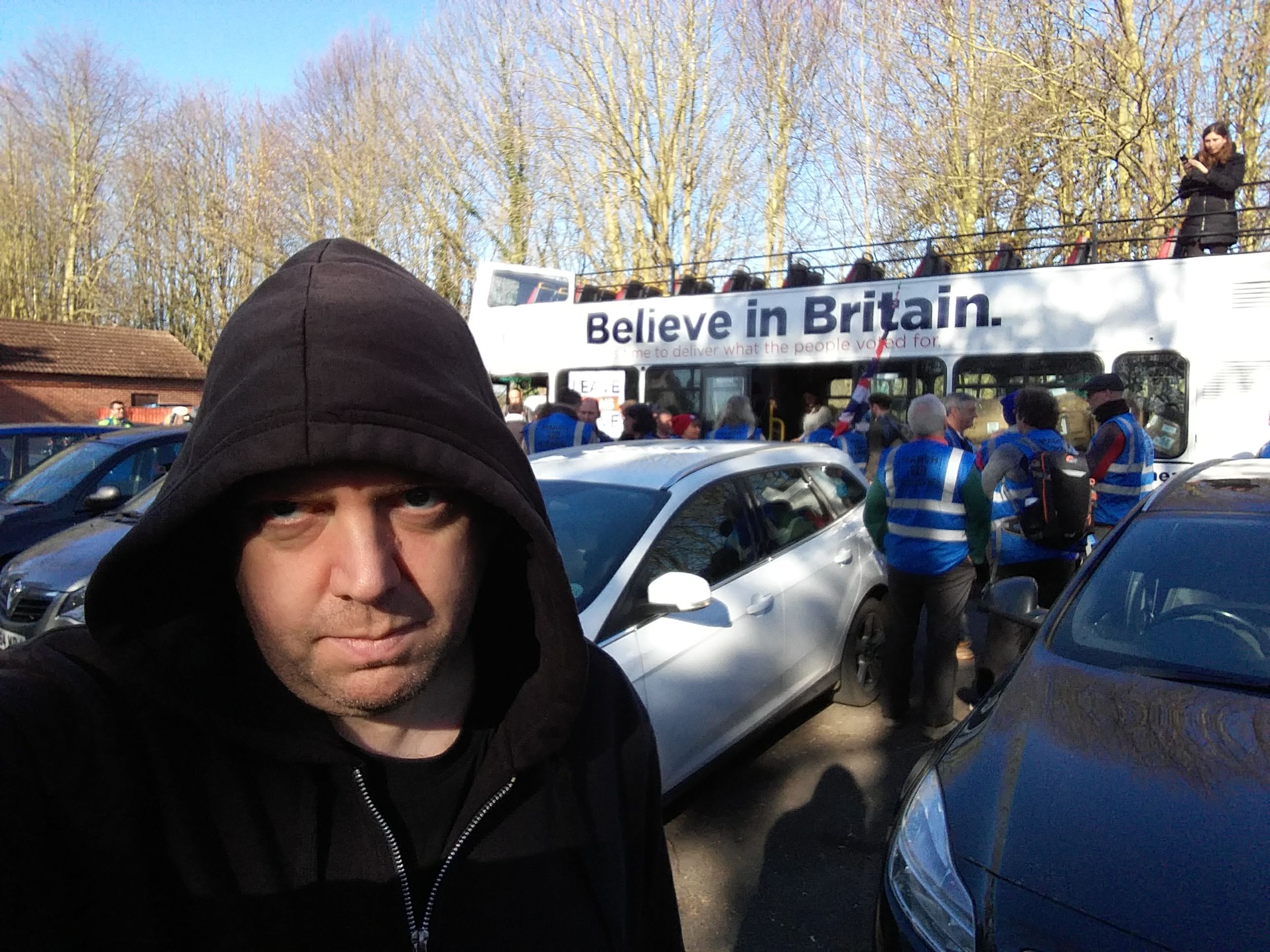
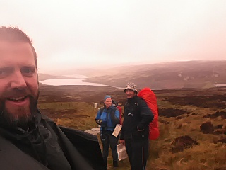
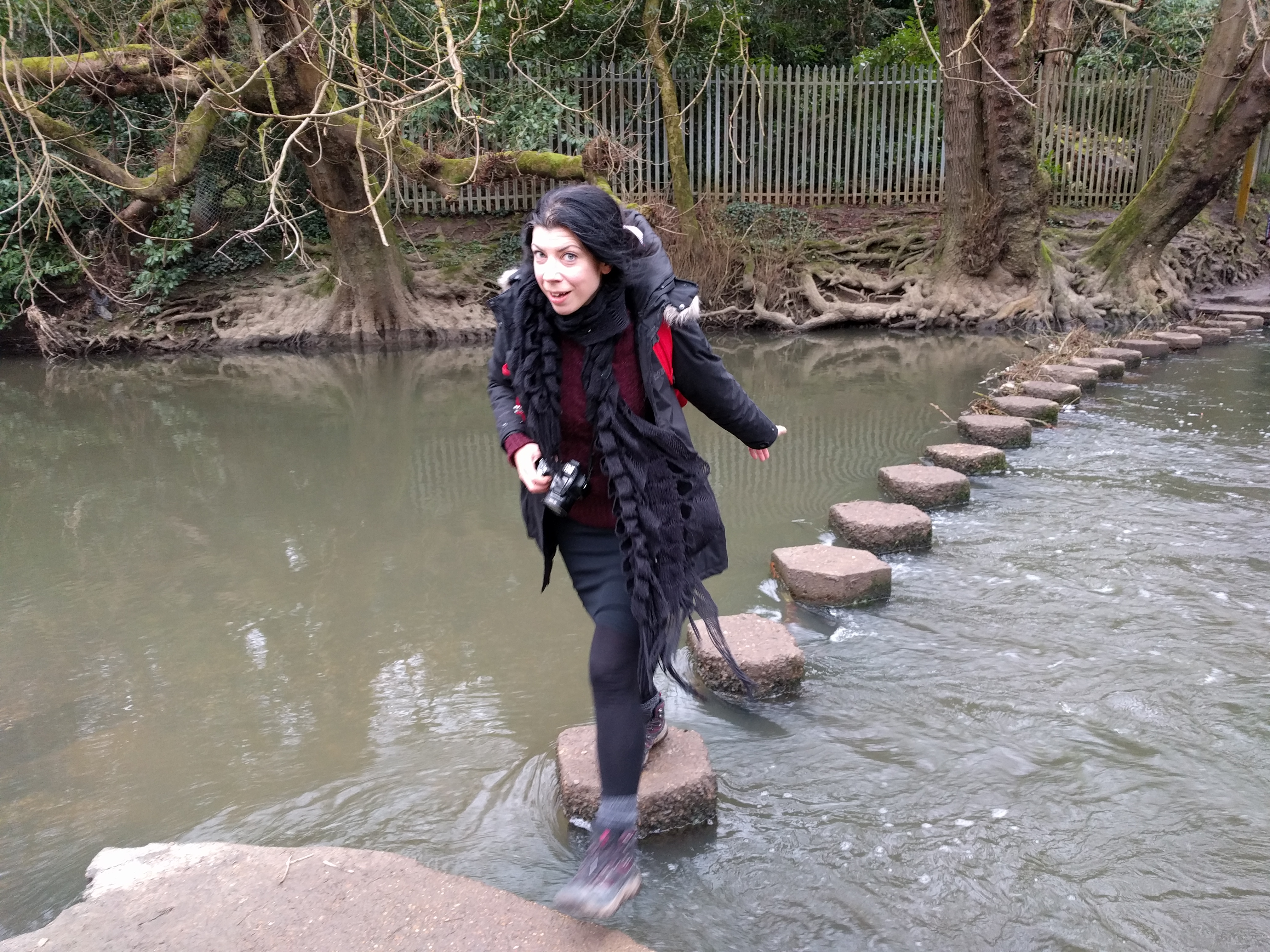
In the run-up to the Cerne-to-CERN pilgrimage, a tarot deck was compiled: each pilgrim had to create an image for the deck to represent themselves. My card was The Walker, because of the importance walking has to me. But, as we were reminded by the Book of Synchronicity during the pilgrimage: “More deeds and fewer words”. Despite being The Walker, I’ve not done all that much walking recently.
So, I’ve started wearing my fitbit and feeding it 10,000 steps a day. While the benefits of fitness trackers are debated, they’re good for establishing a basic threshold.
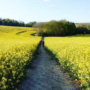
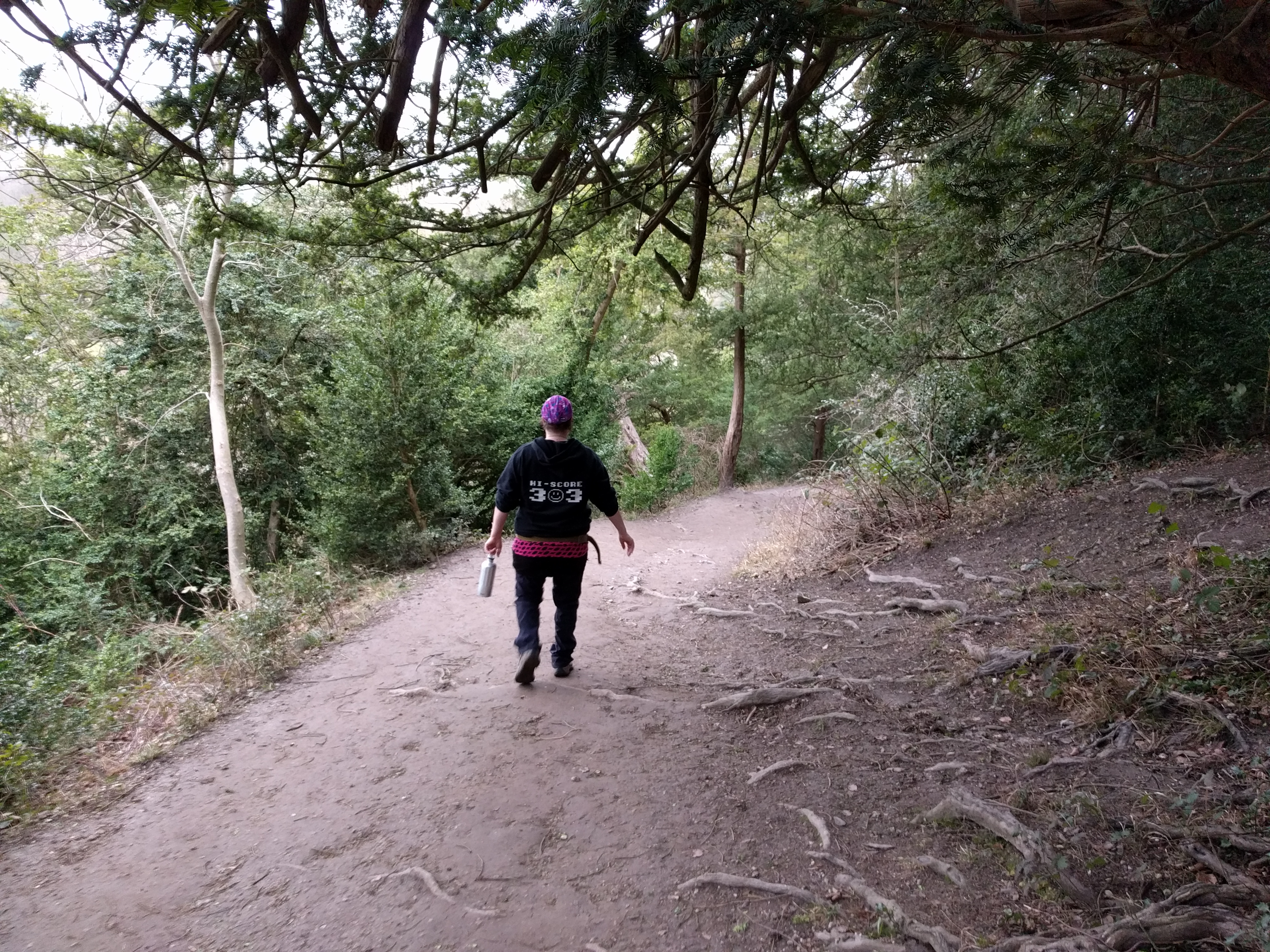
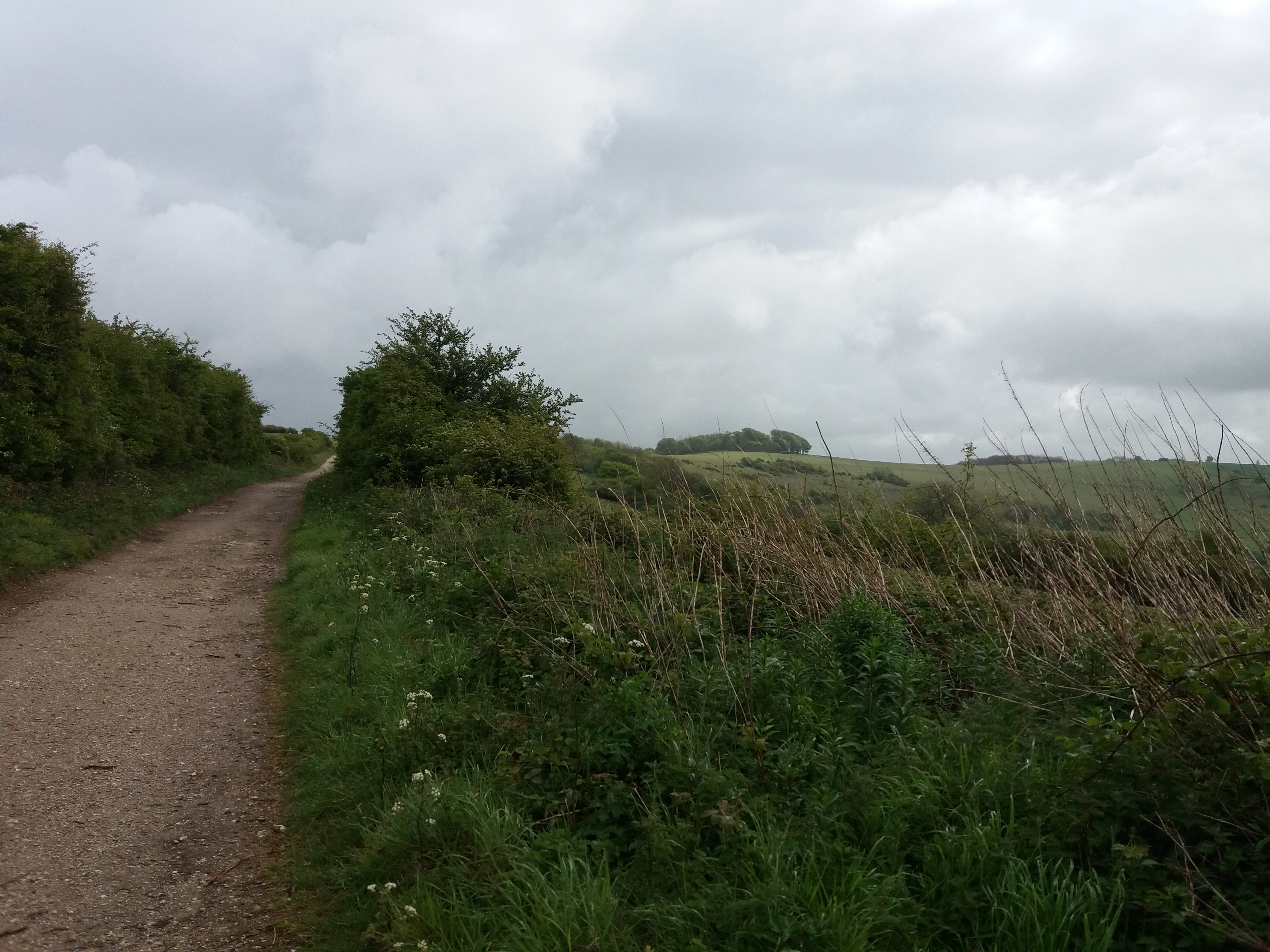
And I decided to do a bit of proper hiking last week. I got up early on Thursday morning and took the train to Amberley to join the South Downs Way. I was on the trail by 7:20am, possibly earlier than I needed to be.
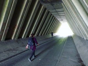
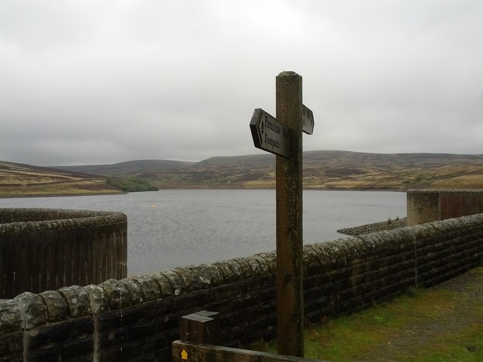
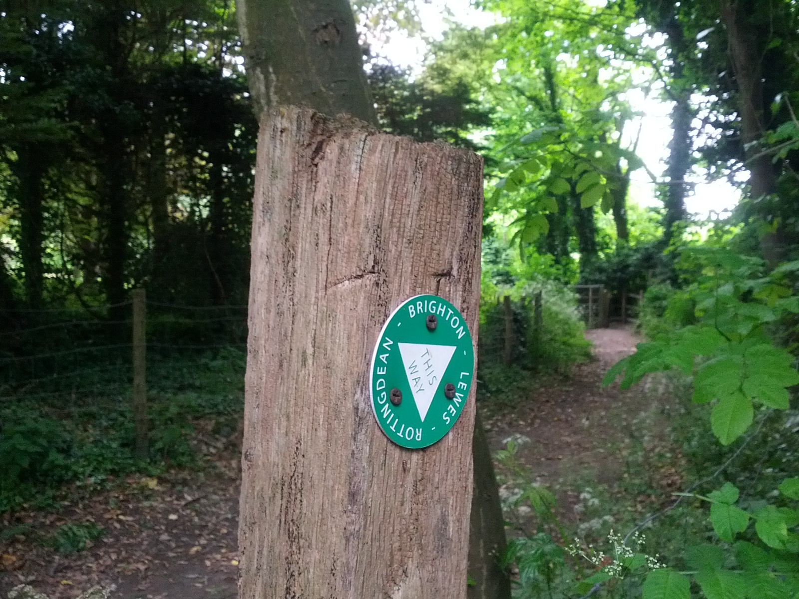
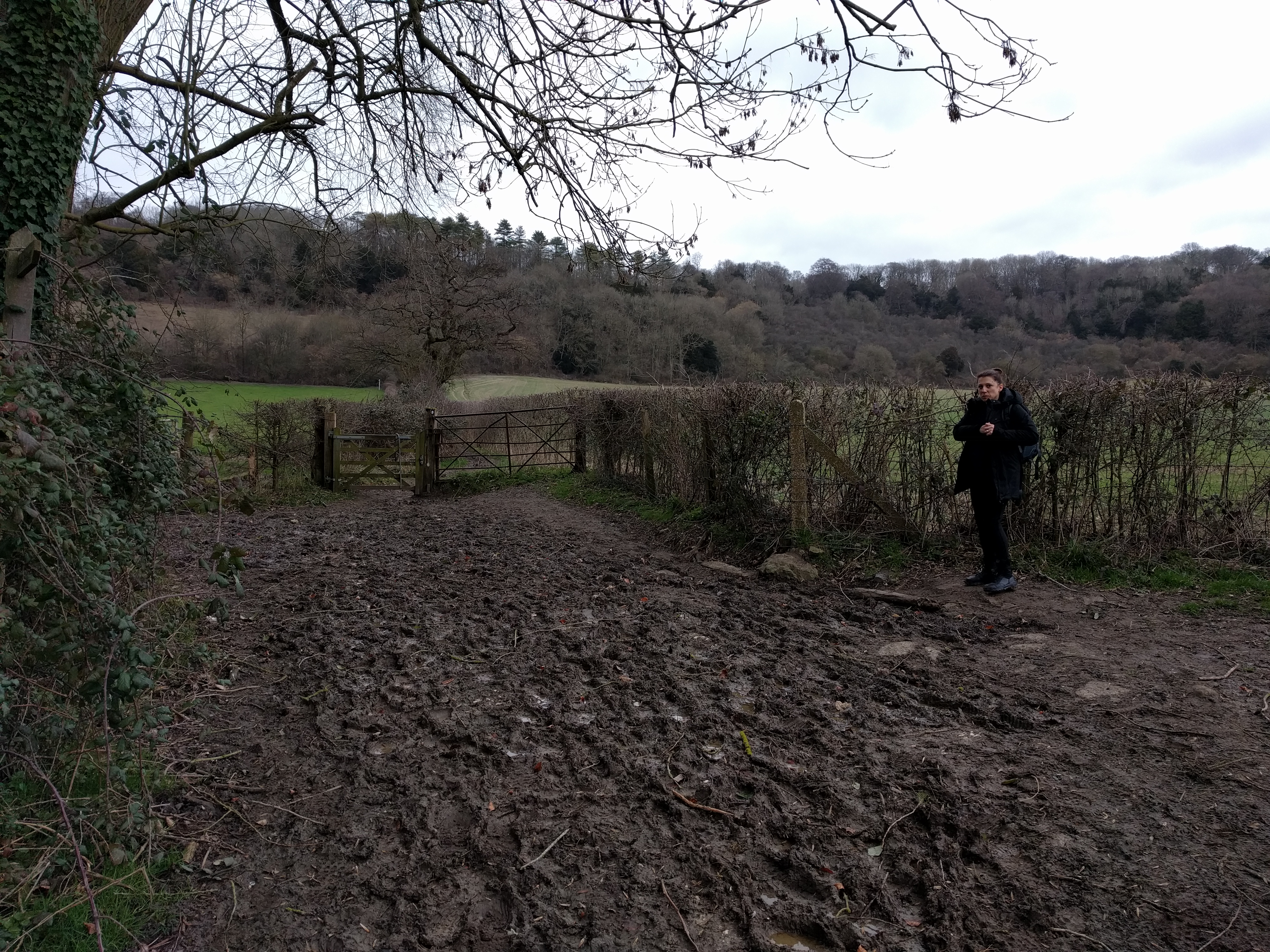
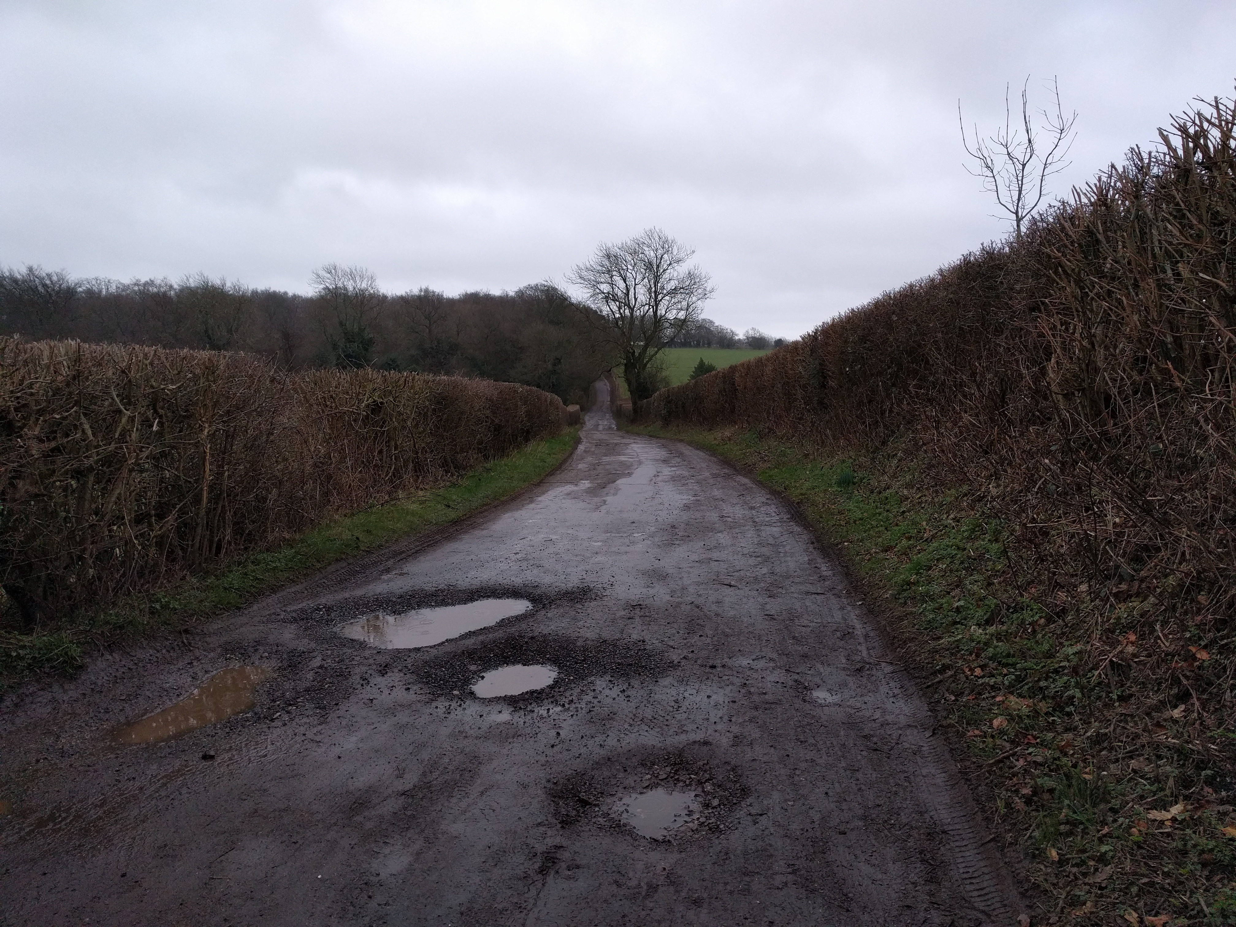
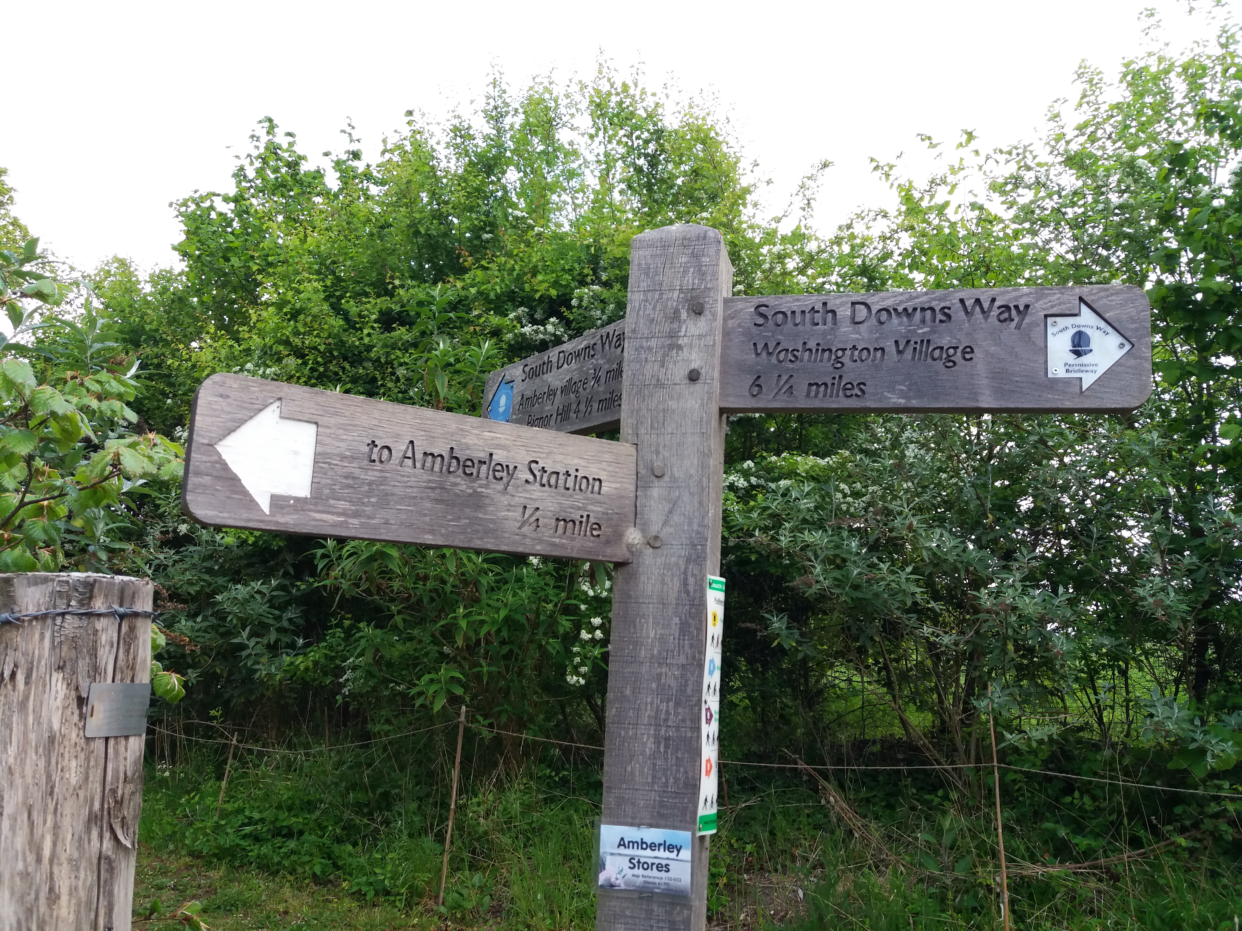 Given I was on my local trail, and one I’d walked before, I was very casual about setting out – no hat, no suncream, only a little water. I didn’t remember the first bit of the trail, and I was nervous about finding my way – I had no map or guidebook for the day’s first section. But every trail has a grammar to their signposts. Some, like the Limestone Way are poorly marked, but the SDW has regular signs, and it’s easy to tell if you’re straying – particularly with a quick check on google maps (yup, all the art’s going out of hiking).
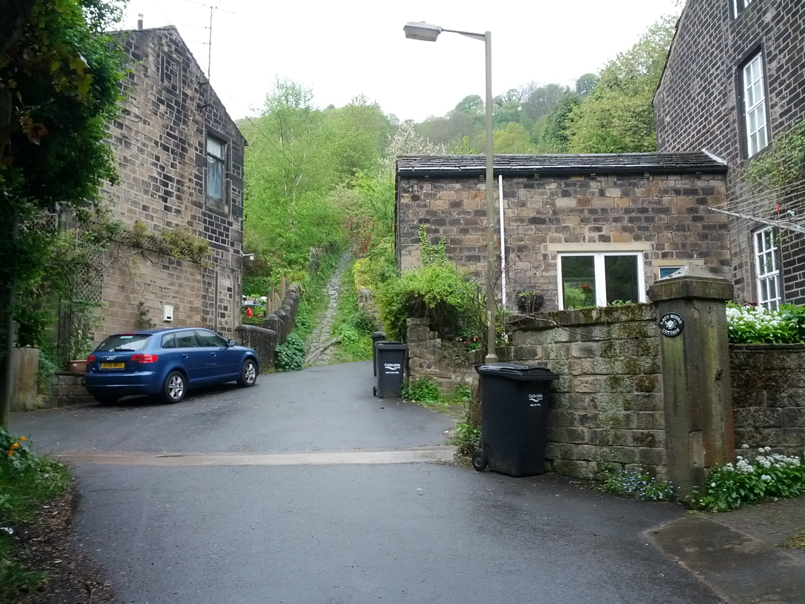
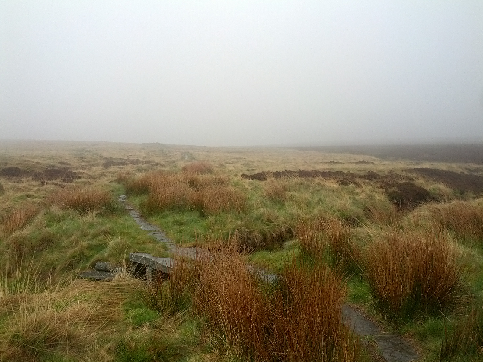
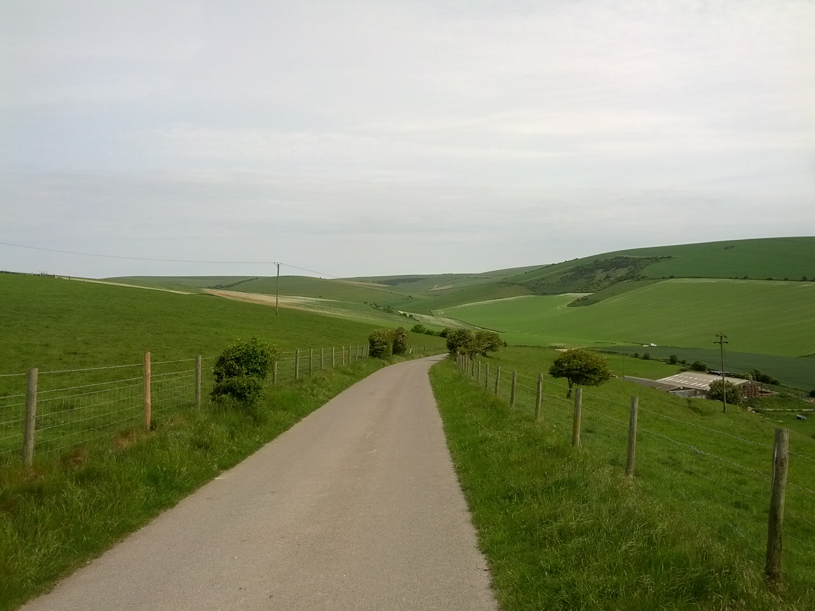
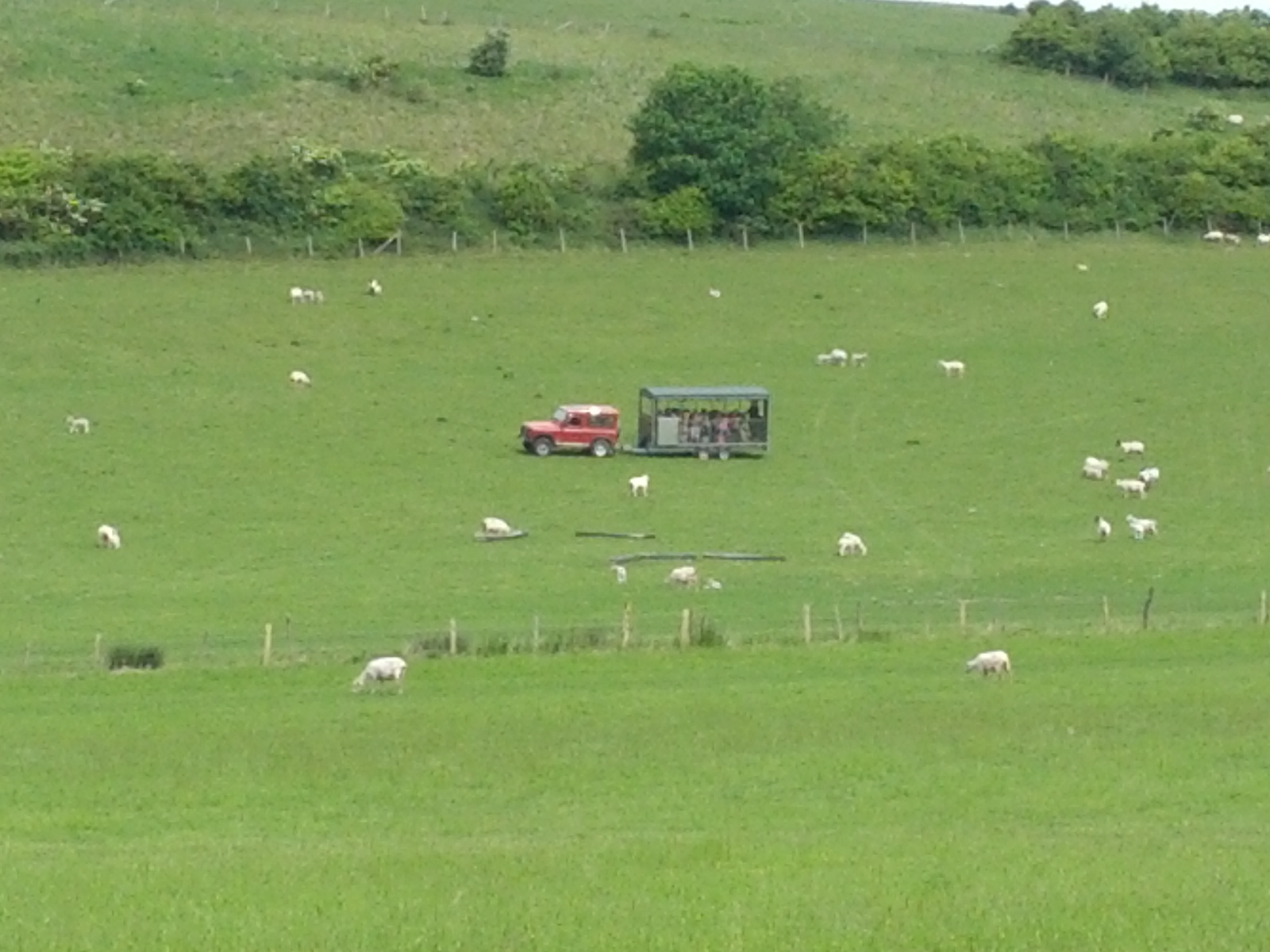
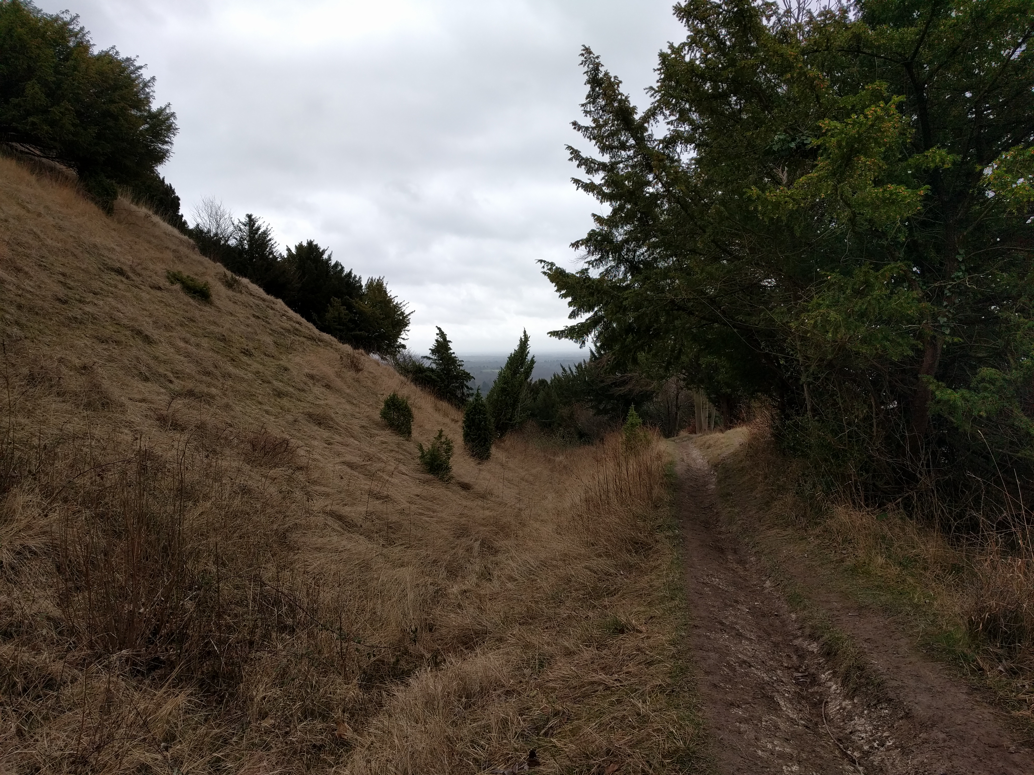
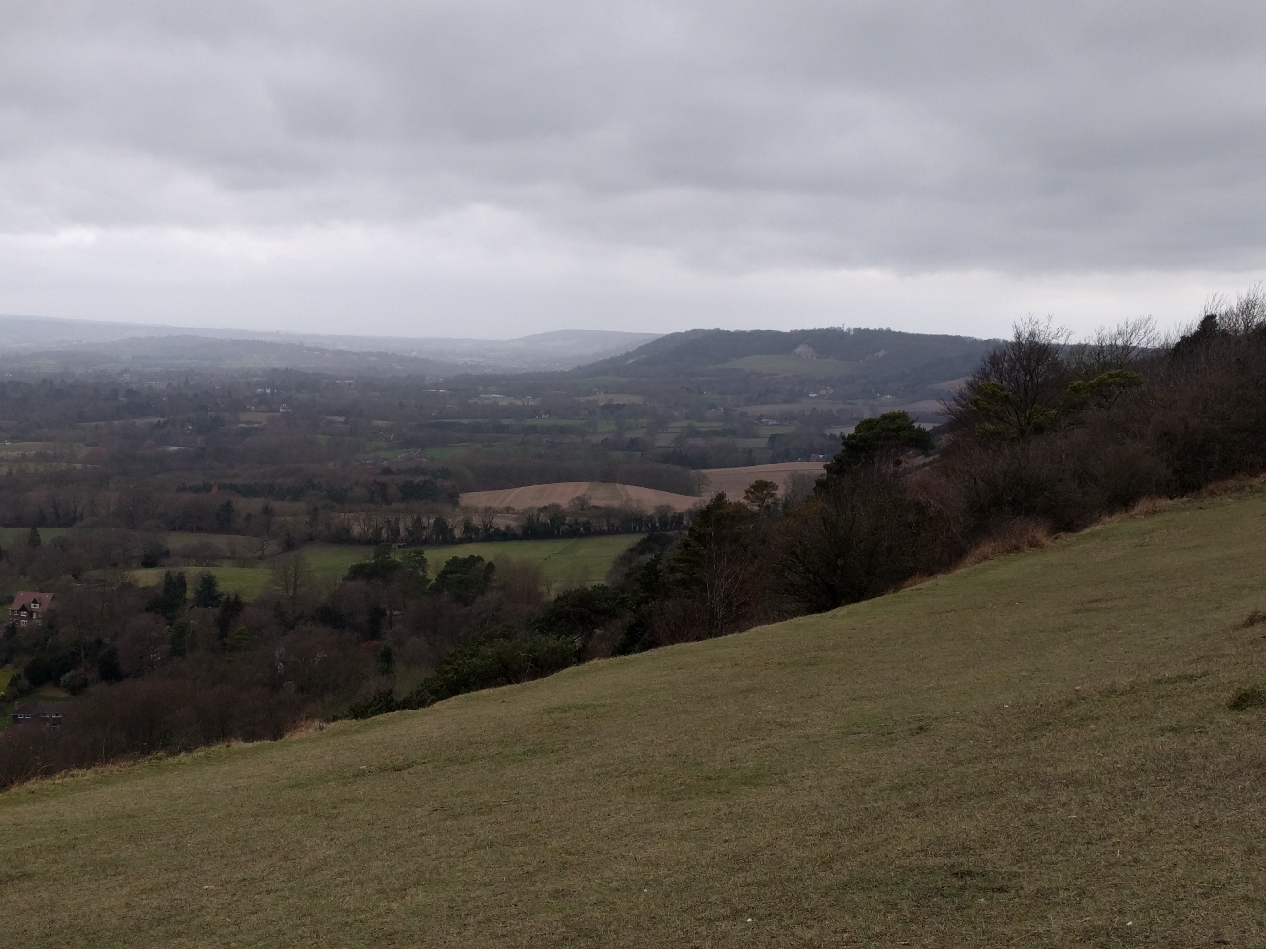
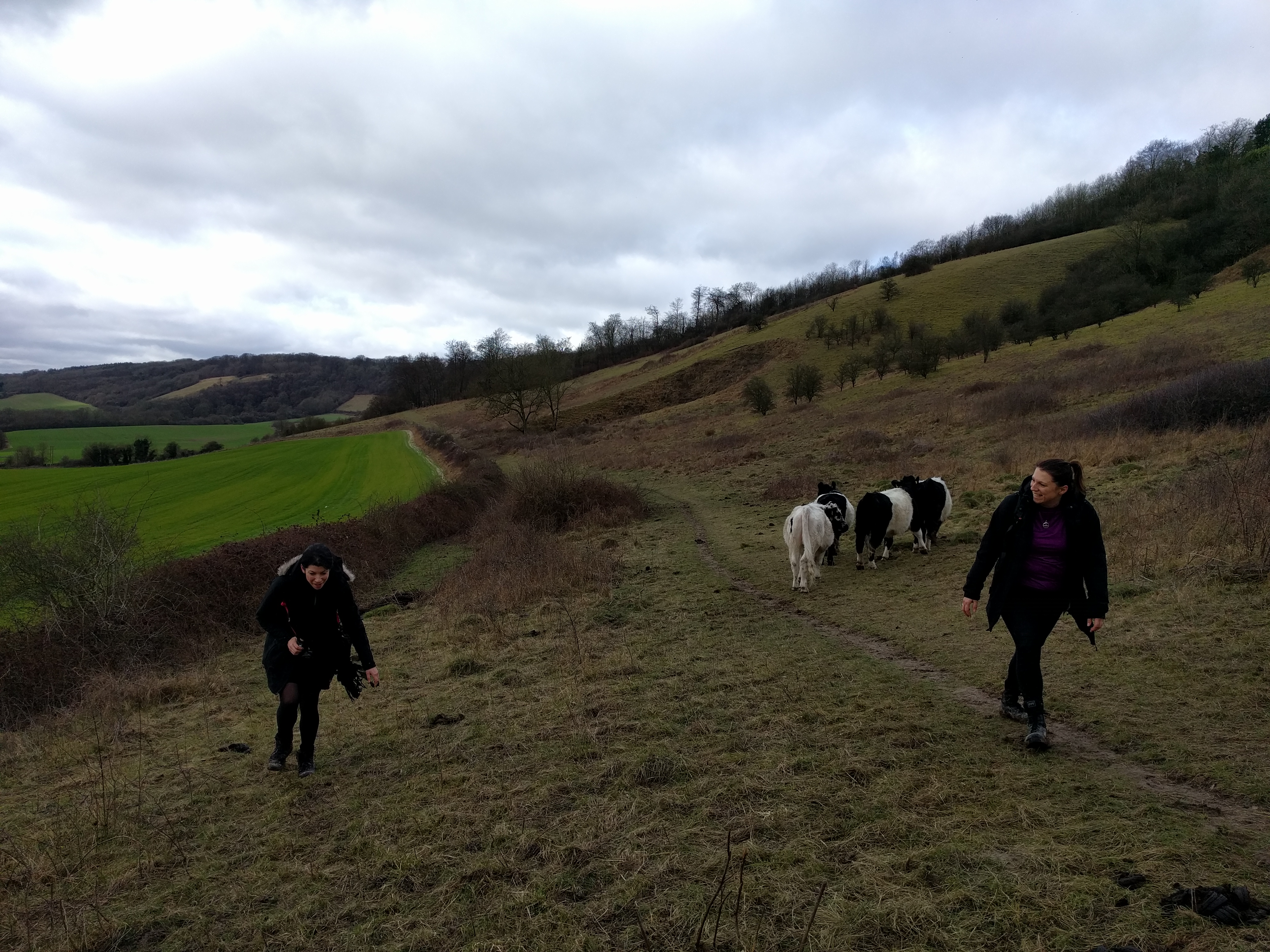
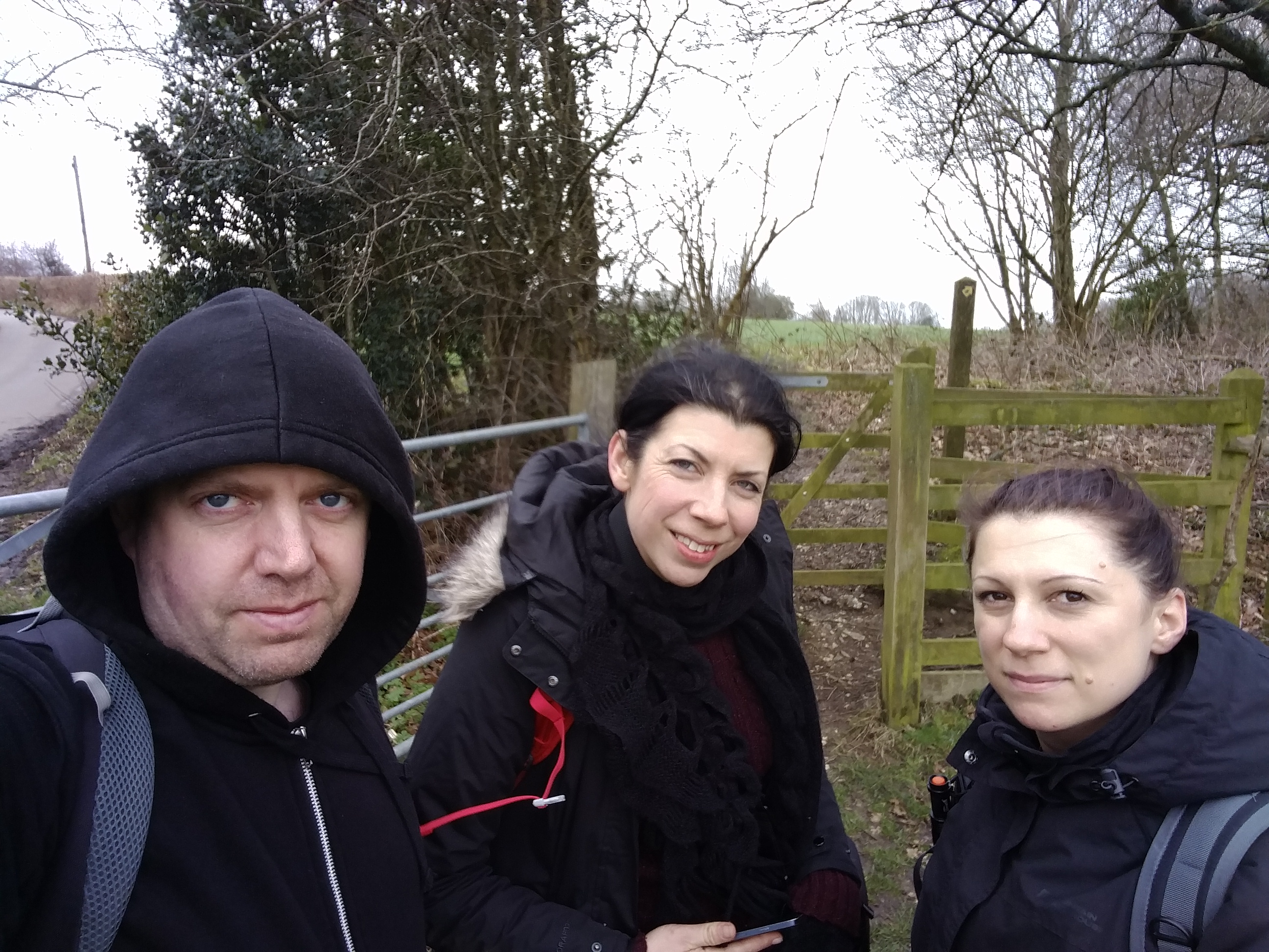
 It was good to be in the countryside. From the field beside me a flock of songbirds noisily took to the air, and I wish I’d installed that Shazam-for-birds app. It was almost an hour before I encountered anyone, a woman walking seven dogs. She was grateful for the weather being better than the day before, so that she wouldn’t have to dry all the animals. I said I thought the job would be better than being in an office, even on a rainy day. She’d had such a job for twenty years, she told me, and became a dog-walker after being made redundant. It didn’t look like a bad life.
 I stopped for a first break (and coffee) after almost exactly an hour, having eased the Fitbit past 10,000 steps. There aren’t many great places to sit on the South Downs Way, but I found a wooden fence bar and sat there – it looked sturdy enough. About to start eating, I shifted and found myself on my back, looking at the sky. The fence was less robust than I’d thought. I fixed it up, then found somewhere better to sit.
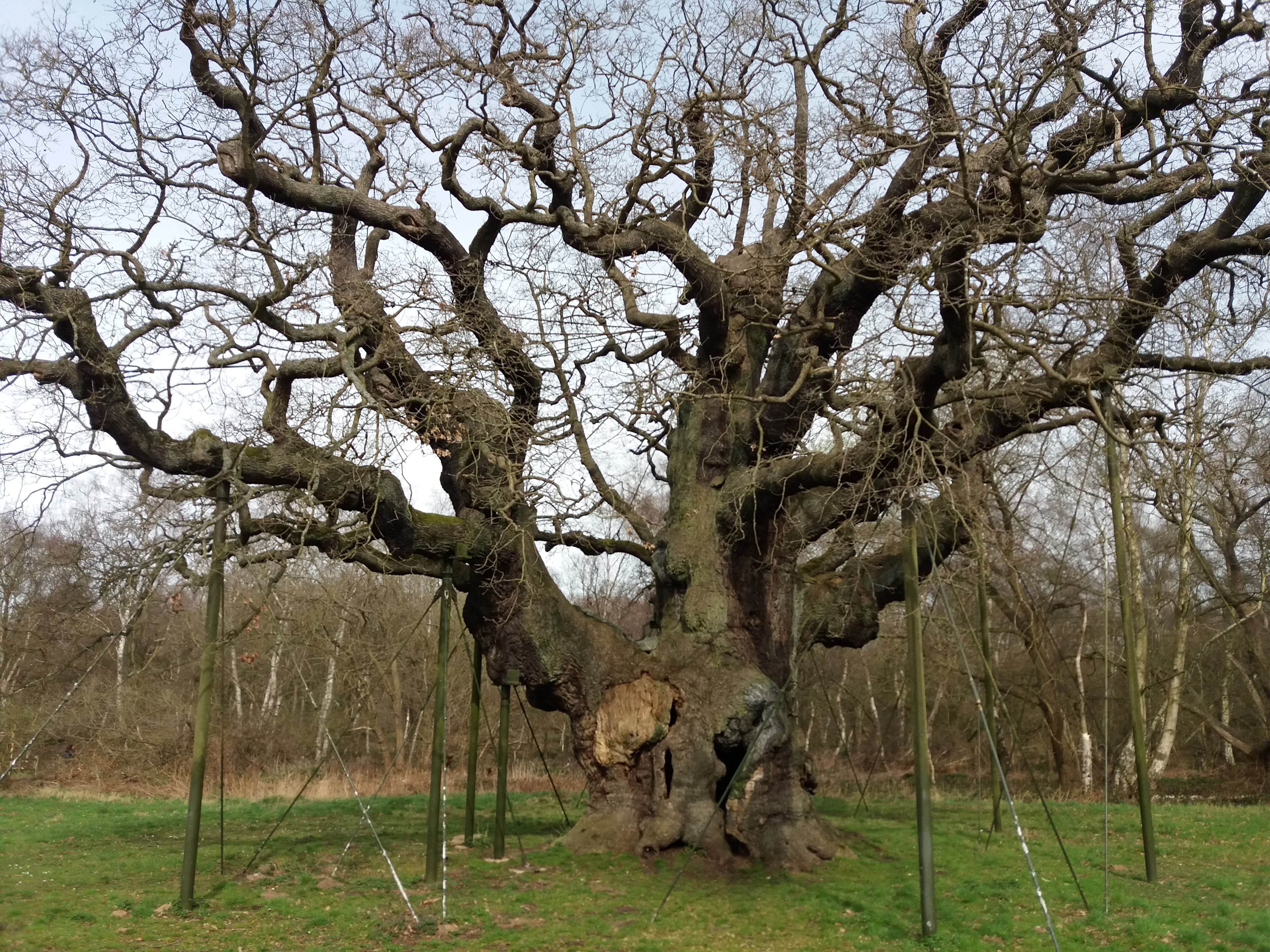
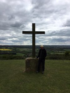
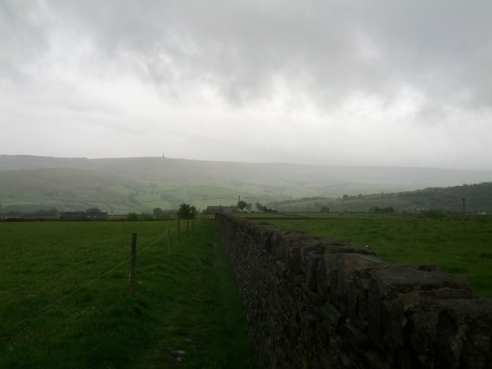
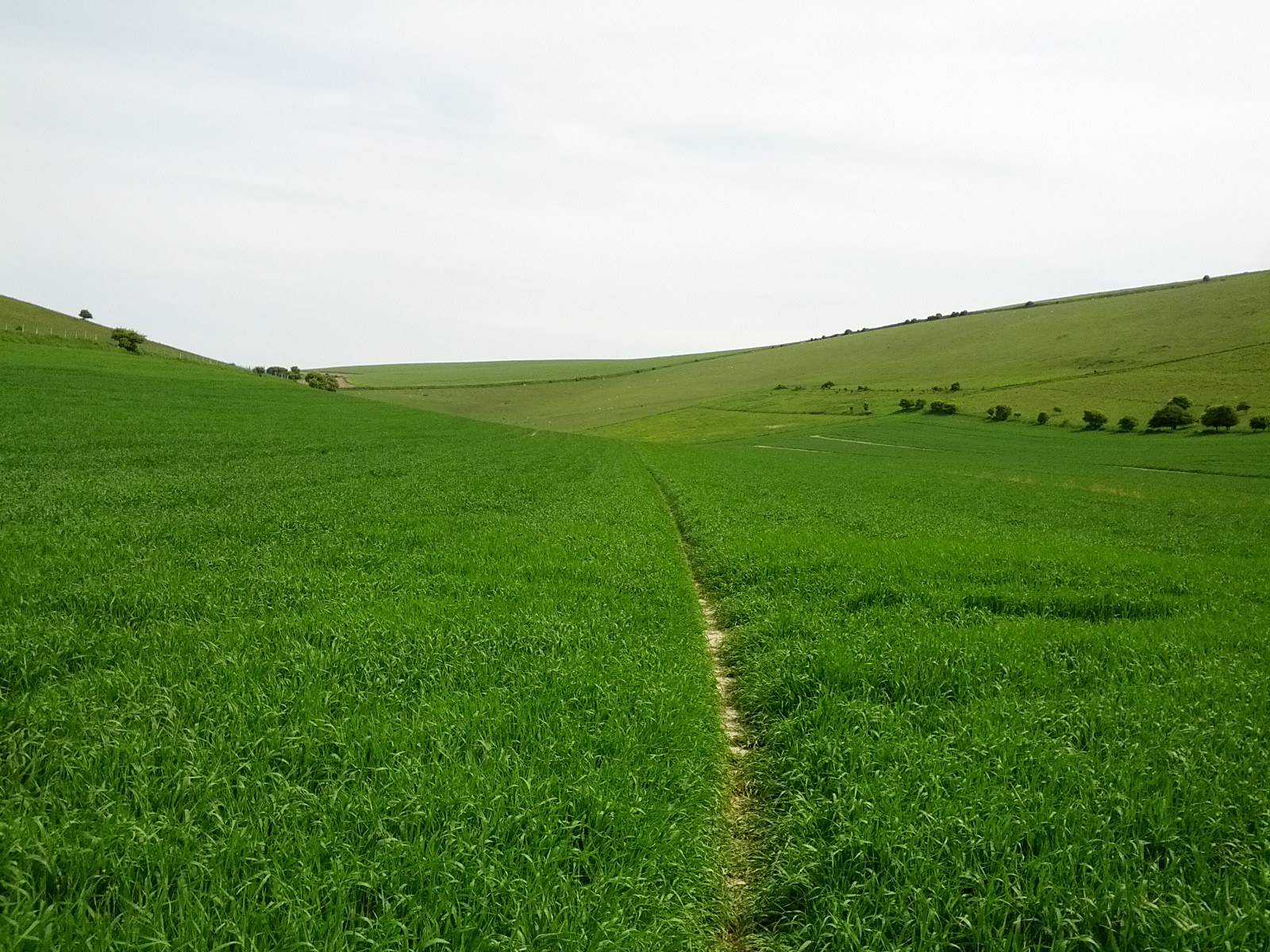
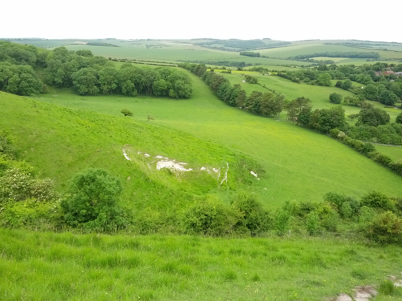
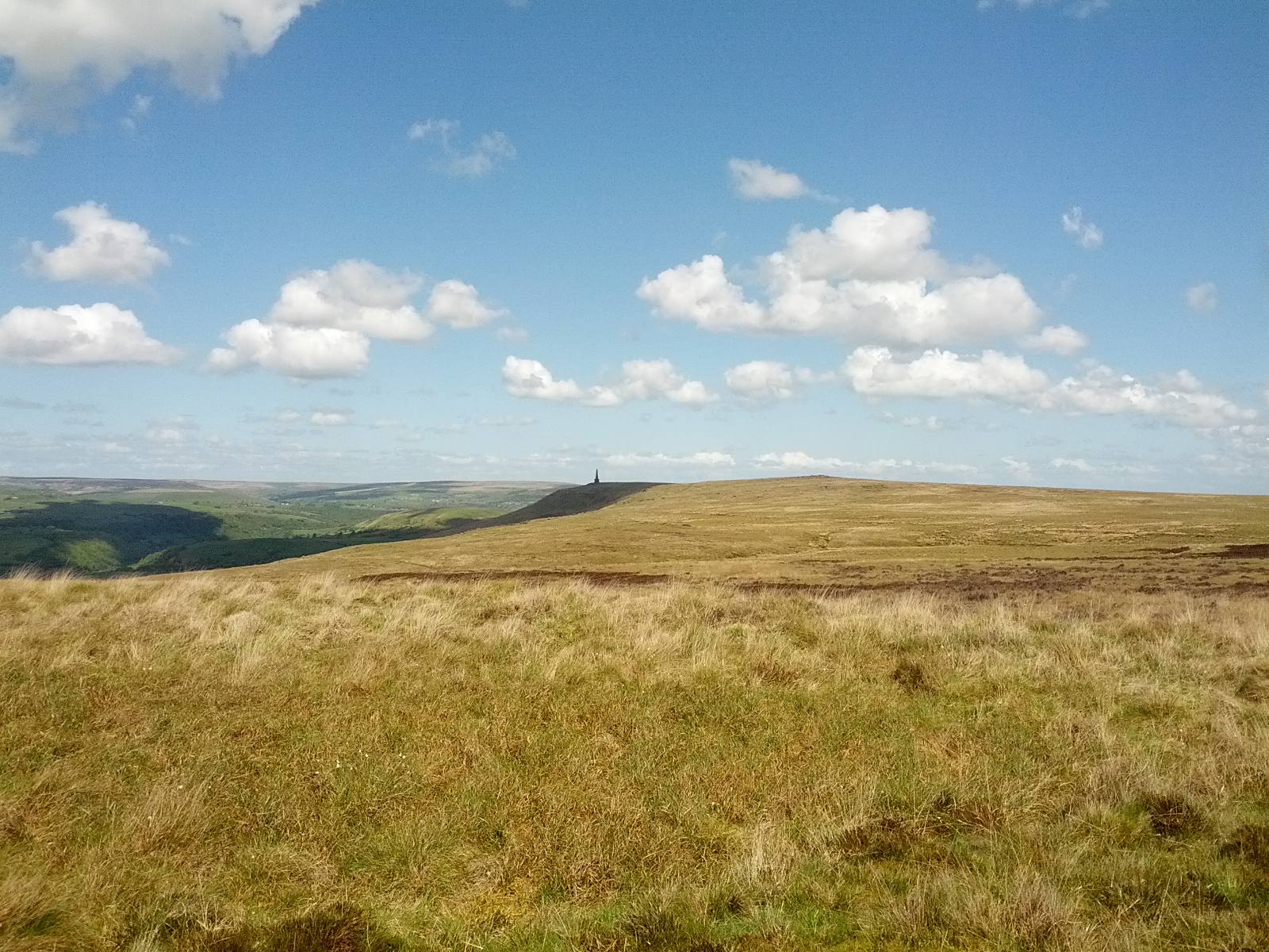
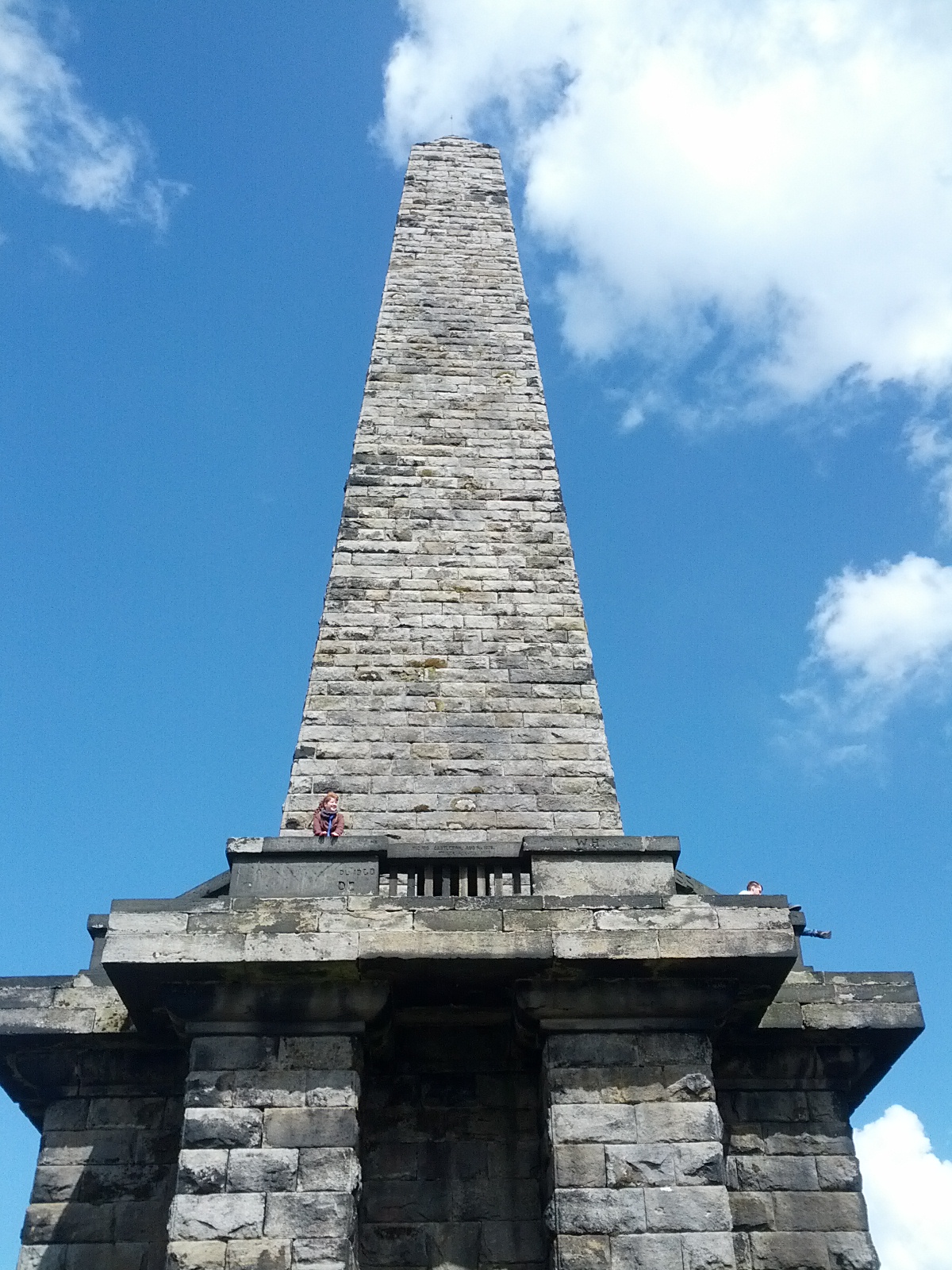
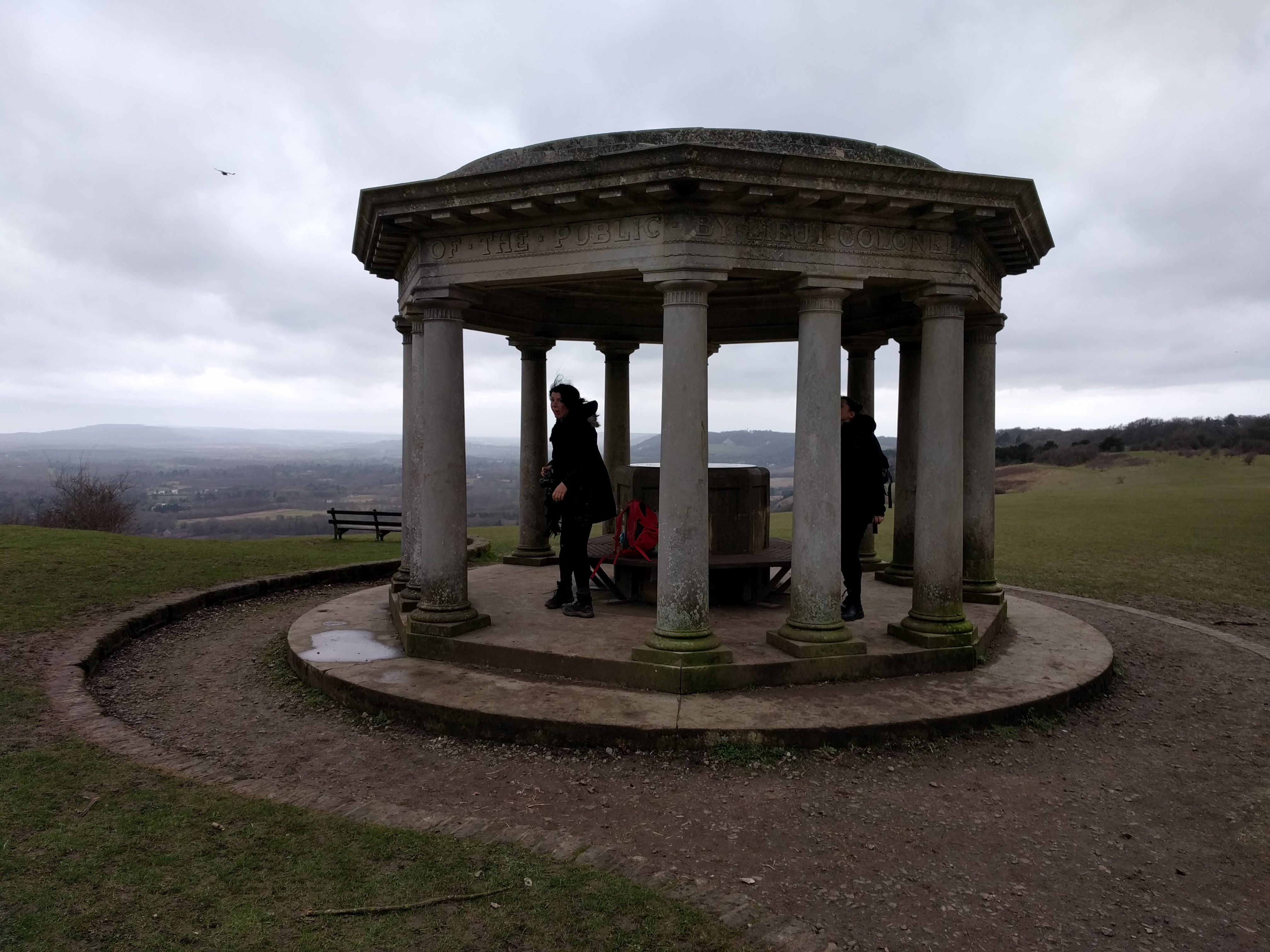
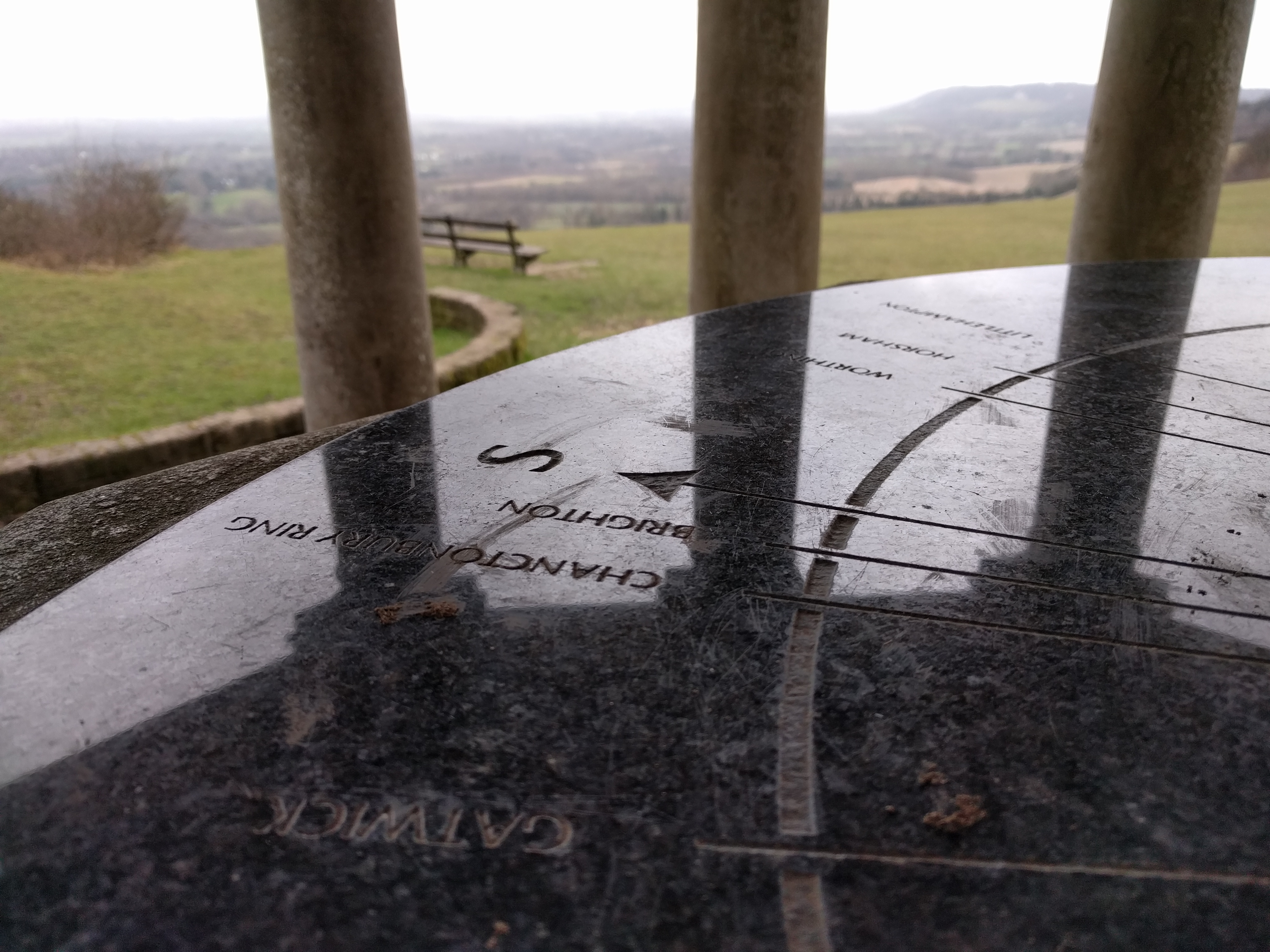
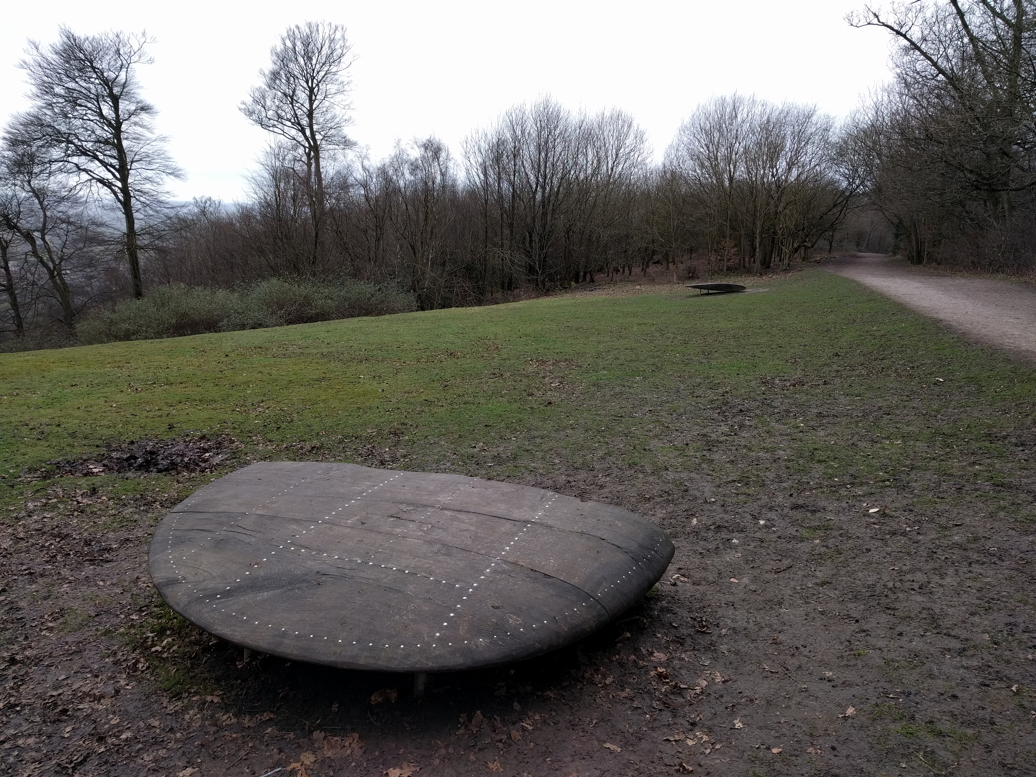
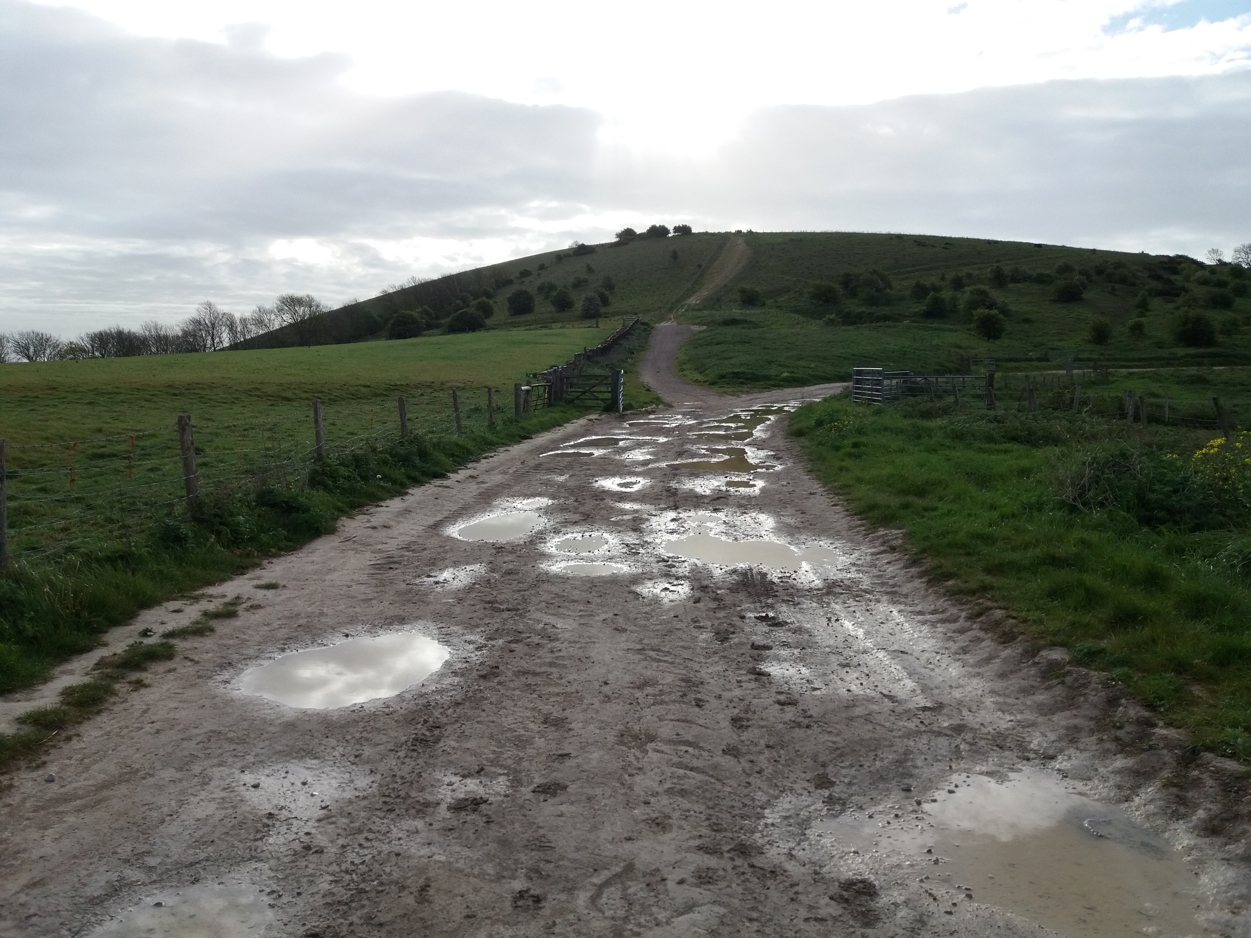
I took the second section slower, but a mere 8,000 more steps took me to Chanctonbury Ring, and it would have been a shame not to stop there. Immediately after that, I could see the i360, meaning that just a couple of hours into the walk, it felt like I was almost home.
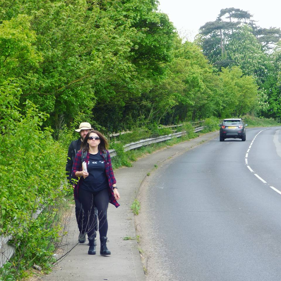
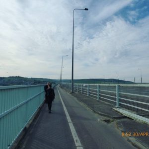
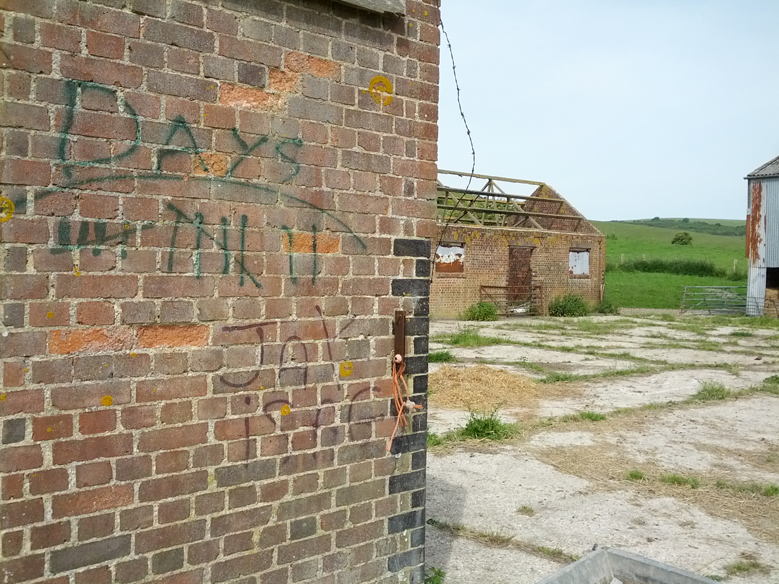
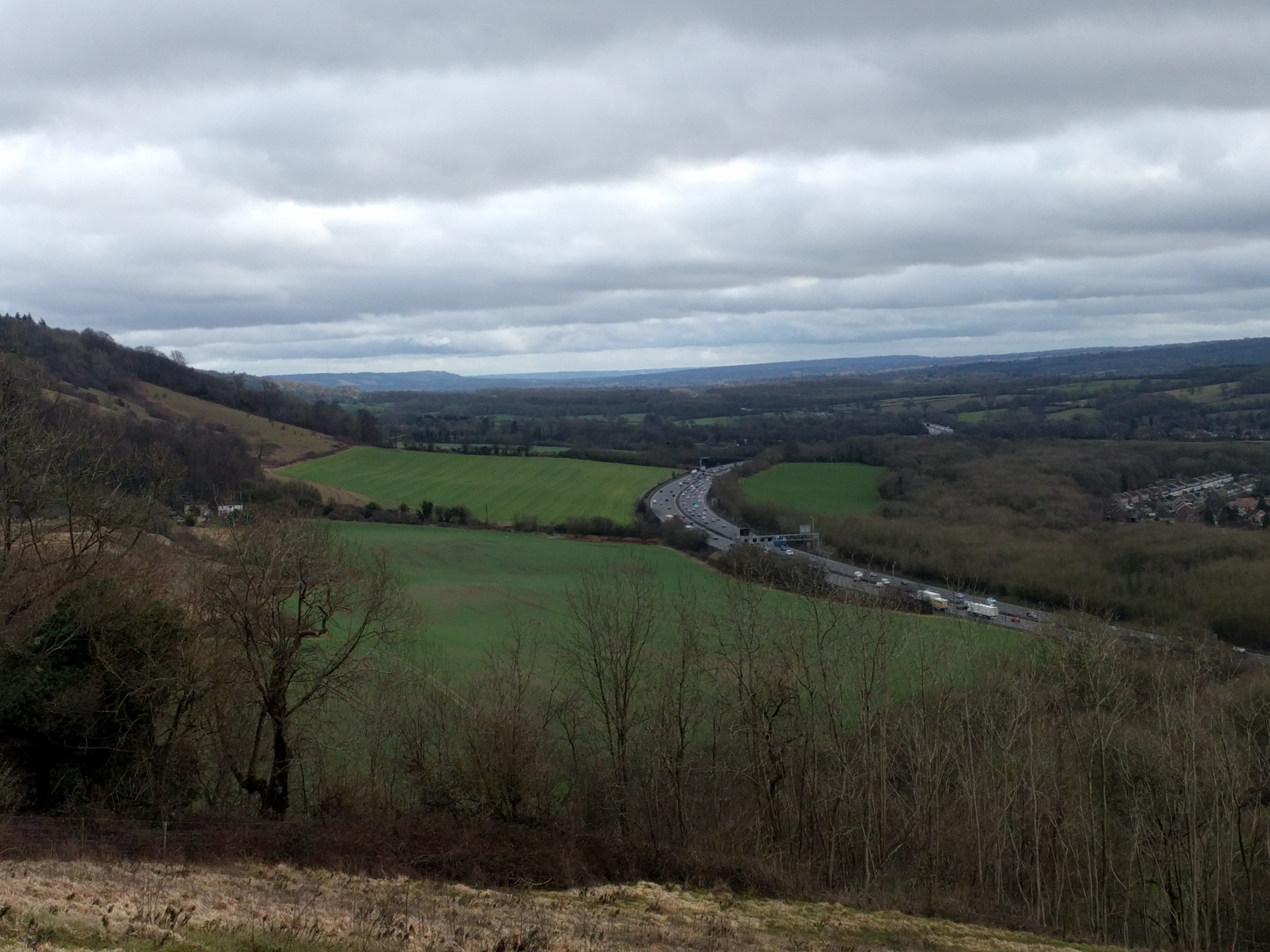
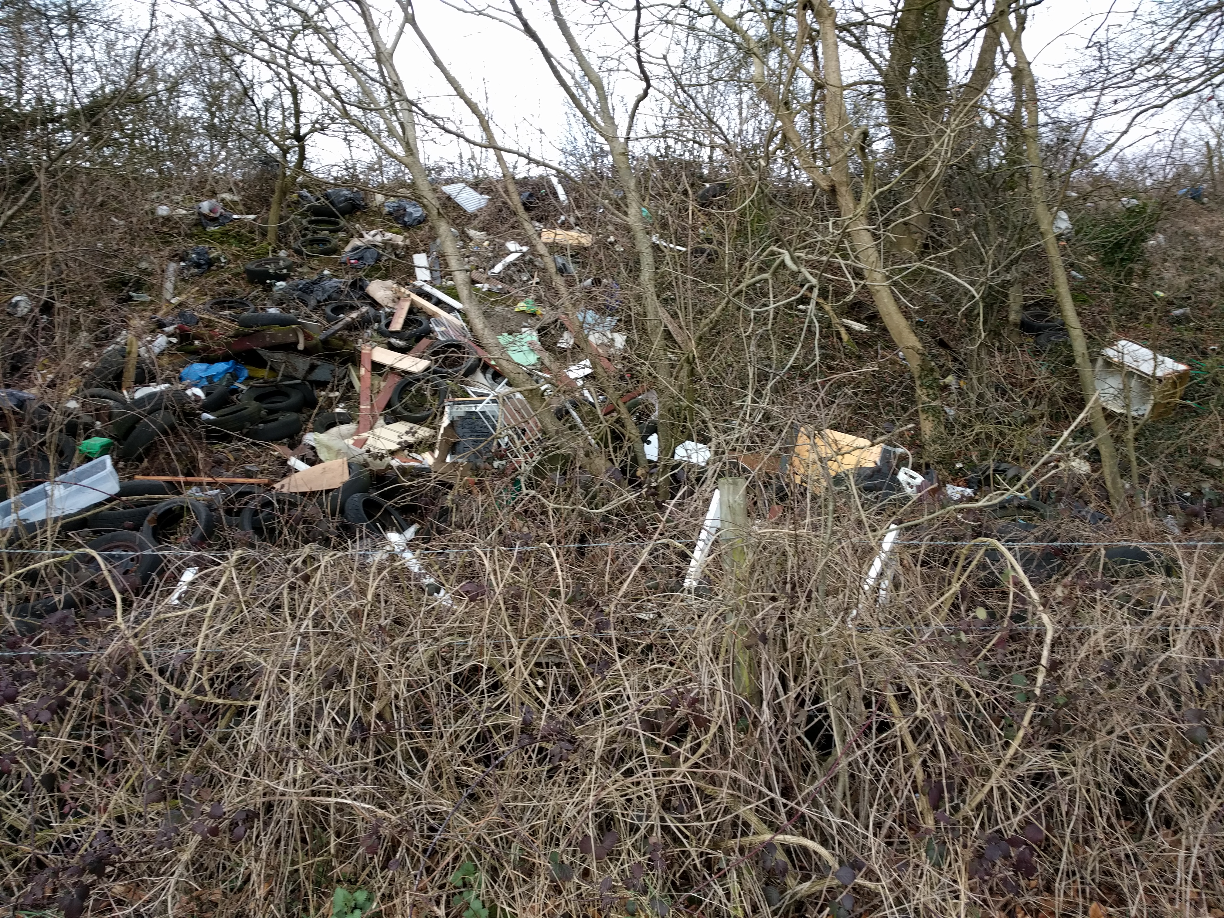
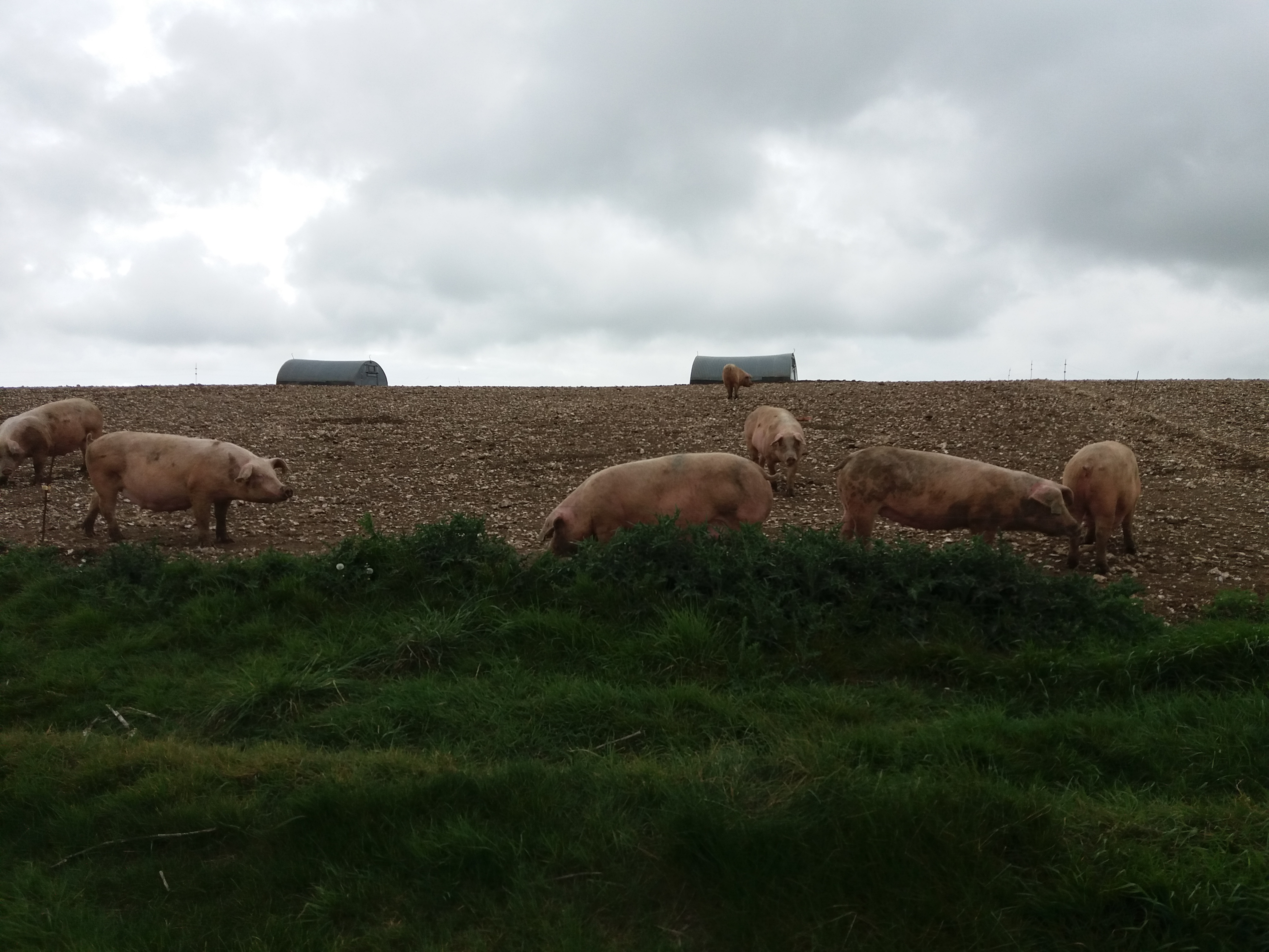
The third section was the longest, from Chanctonbury Ring to the Truleigh Hill Youth Hostel. To get there I had to cross the Adur Valley and the A283. It’s a somewhat depressing section, as the west side of the valley goes through a large pig farm. The sight of so many doomed animals makes the atrocity of the meat industry feel very present, in a way that the cows and sheep I saw earlier hadn’t. I’d been reading about another environmental obscenity the day before, the Apple Airpod, and dark thoughts gathered with the rainclouds.
 I listened to some music as I walked across the Adur valley, just ahead of the incoming rain showers – Nick Cave’s Skeleton Tree, since the first song mentions the River Adur. I remembered once being told about a concept in Basque mythology, Adur, described to me as how everything that has a name exists.
Whenever I pass people and I’m listening to headphones, I take one of the ears out so I can say hello. It seems unfriendly to be walking past people and not being present in their environment. Maybe it’s silly, but I always felt annoyed when mountain bikers would roar past me on the South Downs Way, listening to music and ignoring other people.
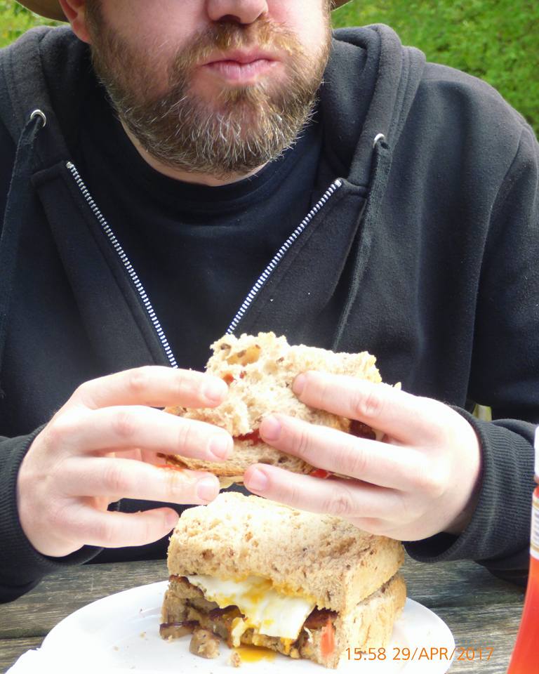
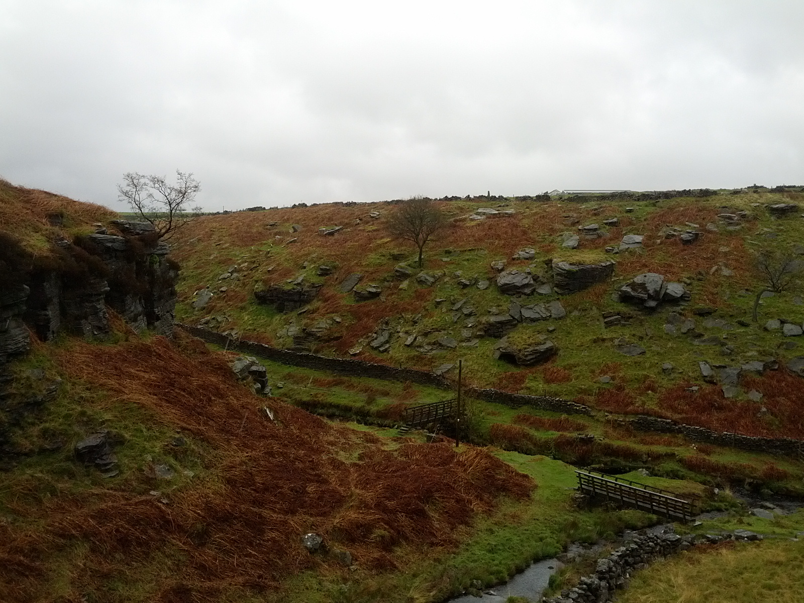
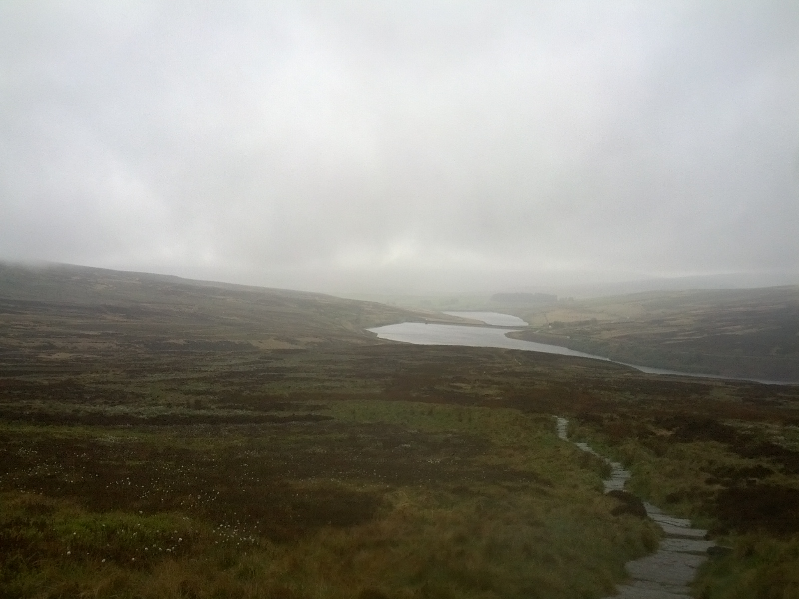
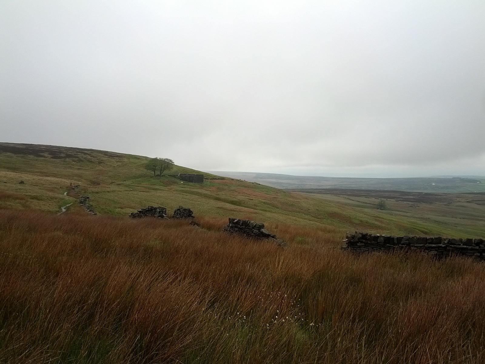
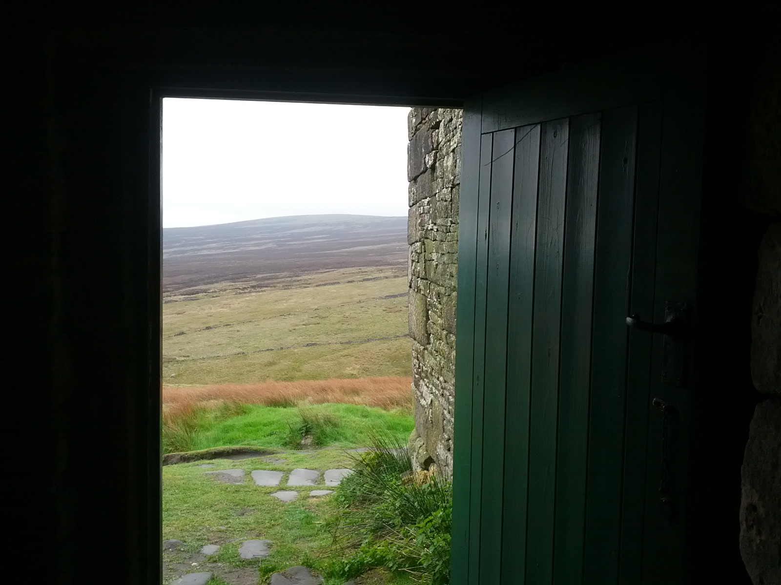
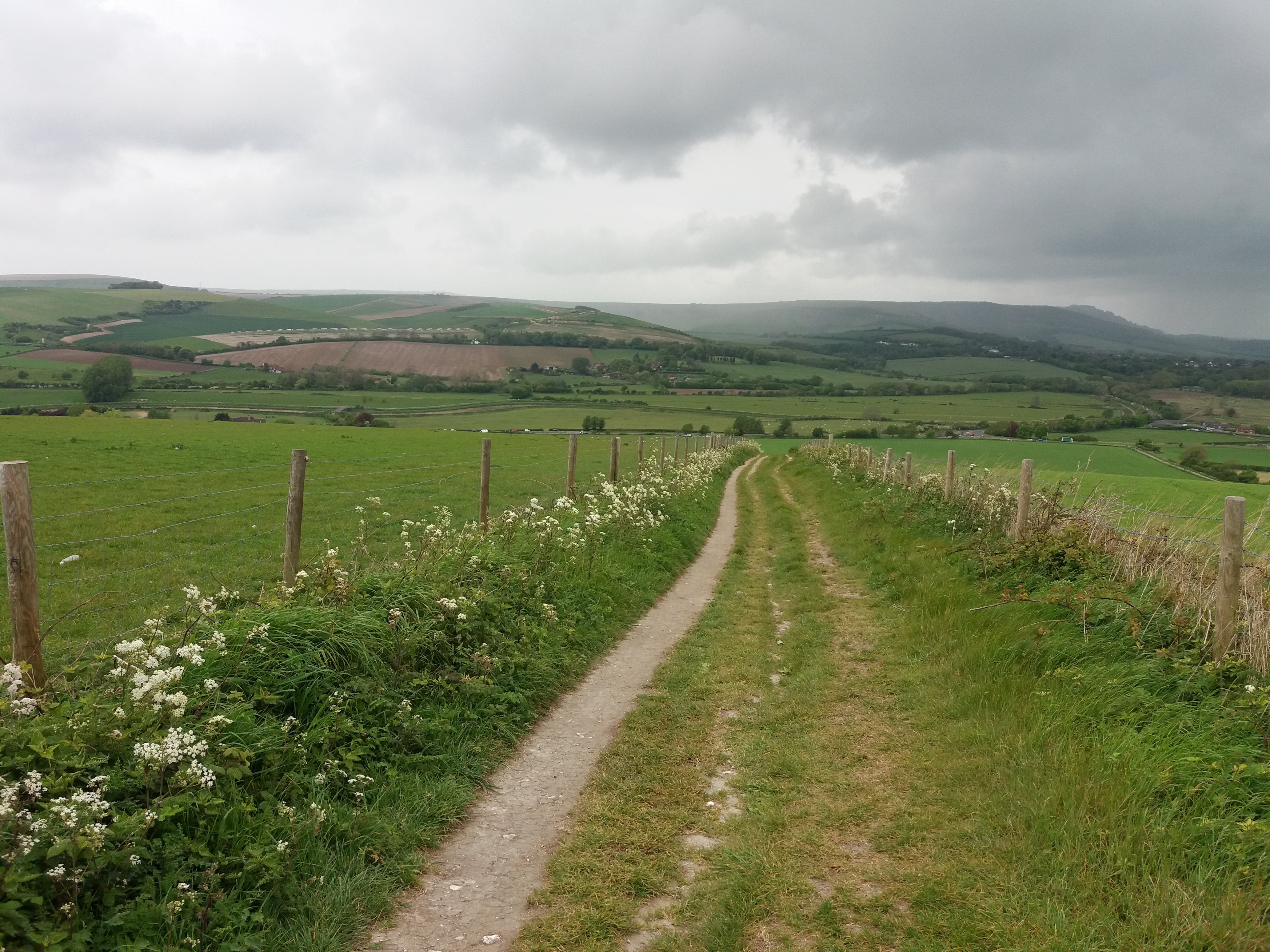
Beeding Hill is a slog. I rushed up on my first time walking the Way, desperate to get it over with. A mile from the top is the Truleigh Hill Youth Hostel; I arrived there at noon and stopped for lunch in the cafe. Another forty minutes after lunch took me to Devil’s Dyke. It was only early, but I couldn’t be bothered with the trudge down to Hove, so called an Uber just before half one. The 18 miles had taken just over six hours, much faster than I should have walked.
But it was good to get out on the Downs again, to remind myself how much I enjoy walking. More, soon.