Pennine Way Day 6: Gargrave to Horton-in-Ribblesdale

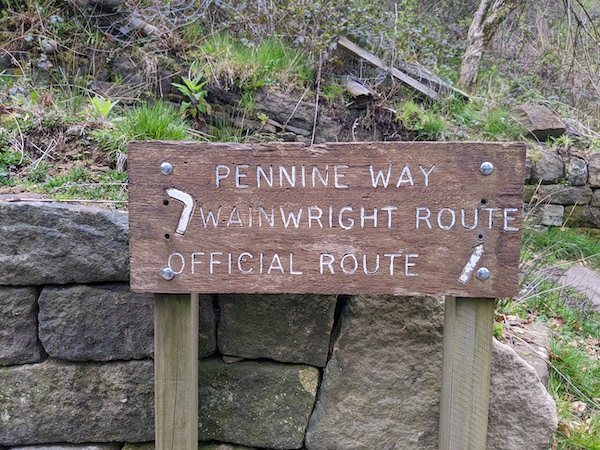
The walk between Malham and Horton-in-Ribblesdale was one of the grimmest hikes I’ve done in my life, enough that I questioned my whole approach to hiking. Was a day of being wet and cold really that much fun? I also reconsidered my somewhat-cavalier attitude. In more difficult or unlucky circumstances, my walk from Gargrave to Horton-in-Ribblesdale could have led to disaster.

I started the day in Gargrave, where I’d stayed in an Airbnb. The weather app on my phone told me that there would be rain, but I didn’t want to go home without hiking, and it was hard to tell exactly what the rain symbols meant. Did a single raindrop mean just a little rain, maybe not enough to need full waterproofs? Did three raindrops mean heavy rain for a full hour, or that was the worst it would be during that hour?

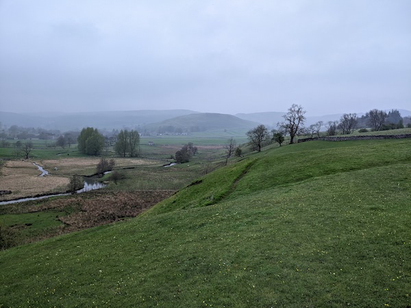
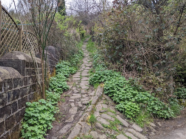
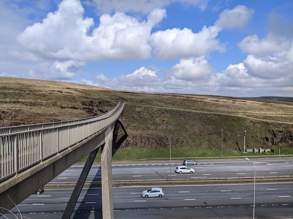
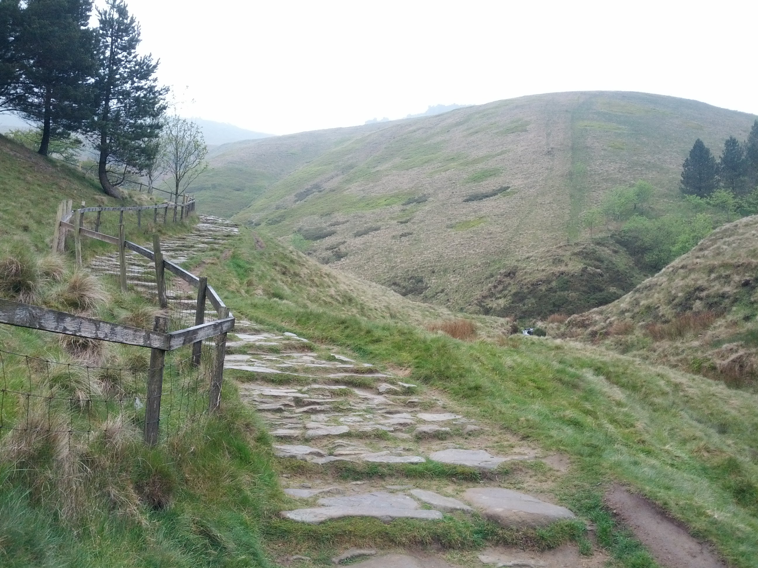
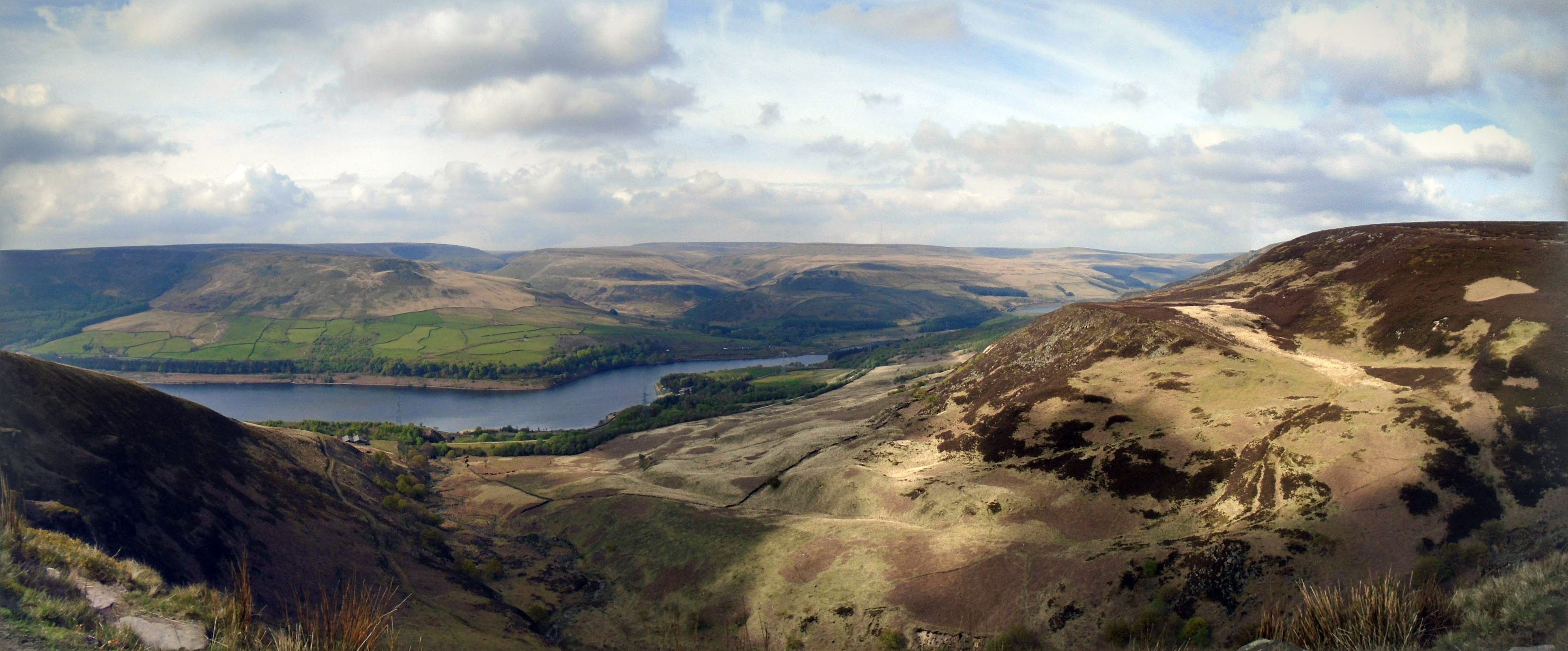
I set out at 6:30am from my Airbnb and had a good hike to Malham. The route was well signposted and flat, so I made good time. The path beside the River Aire was charming and had some pleasant hills. The dew soon soaked into my boots, meaning I had many hours of damp feet ahead of me.

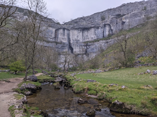
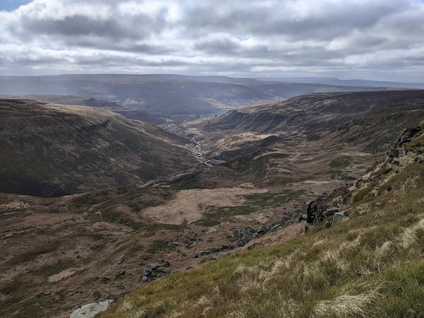
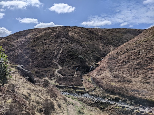
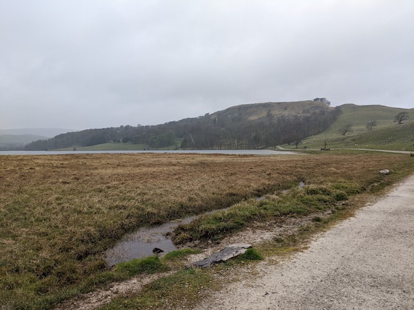
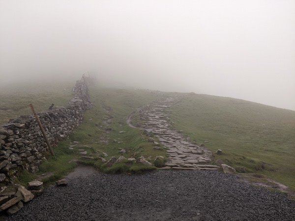
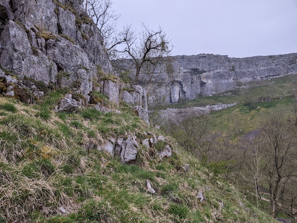
Malham Cove was almost empty when I arrived, and even though I’ve been a few times, it still felt impressive. It was a tough walk up to the top, but the reward was some good views.

The Limestone Pavement at the top of Malham Cove

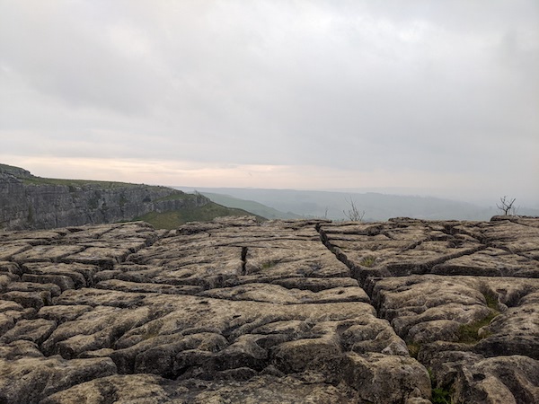
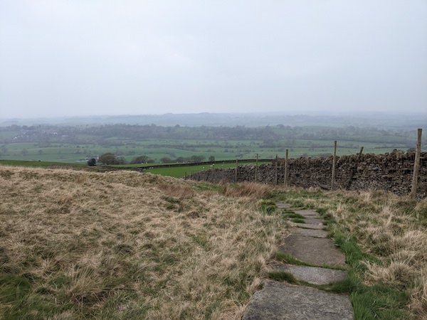
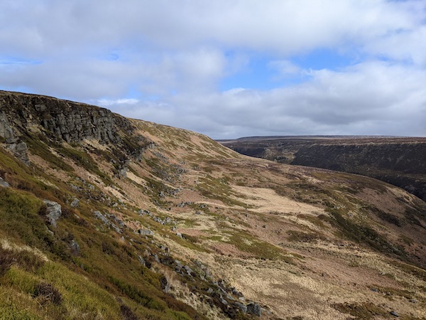
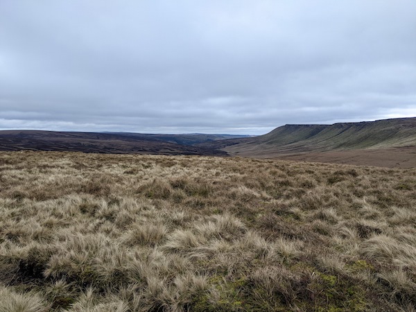
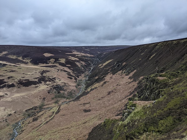
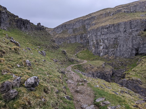
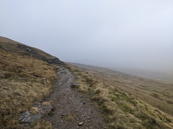
From the top of Malham Cove the route heads through a small rocky valley. It was starting to rain here and I lost the path for the first time, guided back onto the route by Google Maps.

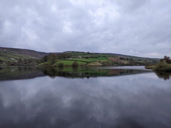
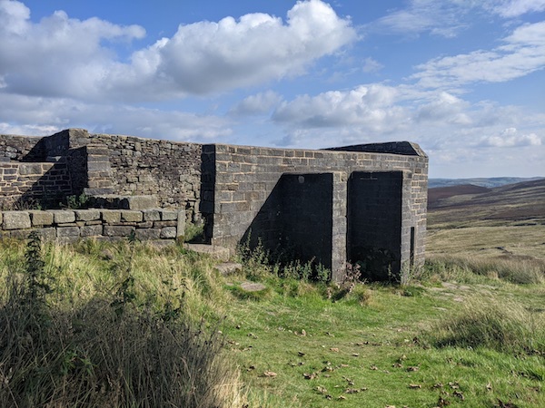
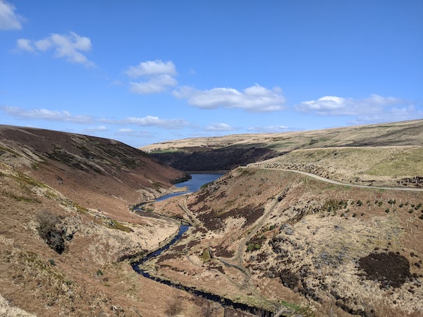
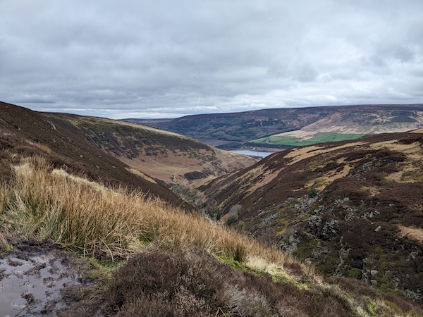
The weather grew worse by the time I reached Malham Tarn, forcing me into full waterproofs. There is a rare Pennine Way public toilet near the lake and I hid there for a time until I felt ready to face the rain. My choice was to either turn back to Malham and try to get a taxi or to press on with the journey. I chose to continue.

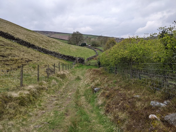
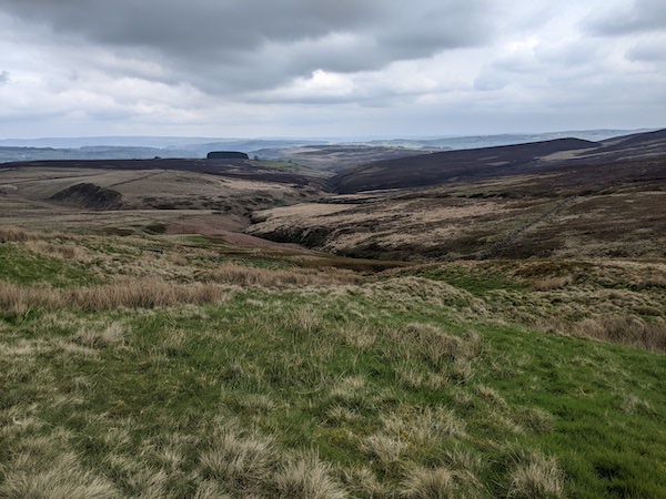
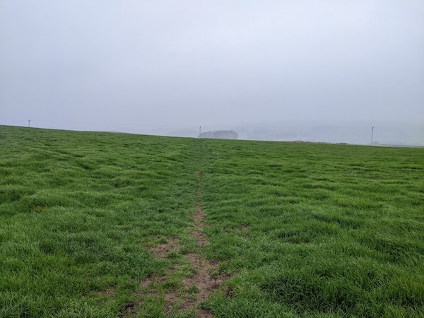
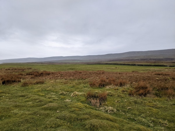
Due to the rain I was not checking the route as I went through some farmland, and I overshot the turning at Tenant’s Gill Farm, ending up on the road to Arncliffe. I followed the road for a time then sheltered in a barn while I tried to work out where I was. I’d failed to pack a map, the guidebook was proving no help, and my phone had no signal. I knew I was was in trouble as I walked back for a time, then turned again and tried the other way. I was probably five miles from anywhere I could shelter properly.

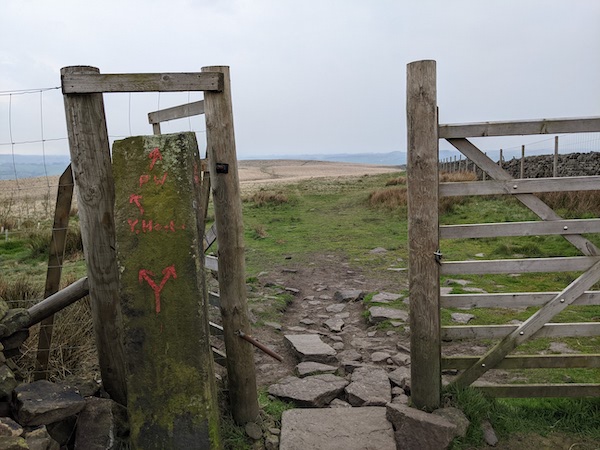
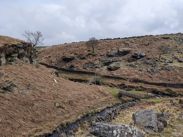
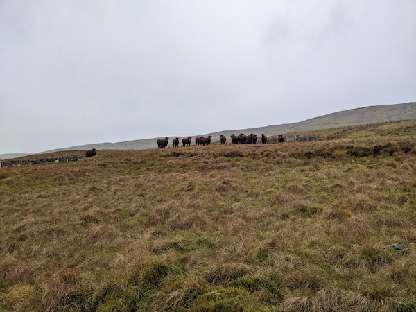
I was lucky enough to have a farmer come by, who told me I’d overshot Tenant’s Gill Farm by about a mile. He was feeding his sheep but told me to meet him at the top of the hill and he’d point me towards Fountains Fell. The route he showed me went through a gate, then I should continue to a flock of sheep where I could turn right and follow a wall until I reached a major path.

Ominous cows following as I head back onto the Pennine Way

The safest thing to do would have been to return to Tenant’s Gill Farm and find my bearings from there, but I was reluctant to add more distance to my day: I wanted to reach Horton-in-Ribblesdale and warm up. As it was, the walk back to the Pennine Way was an easy one, but I was aware that the combination of bad weather, being lost and my own stupidity could become dangerous. Nobody knew when I was expected back, and it could be a long time before anyone noticed I was missing. An accident so far off the path would not have been good.

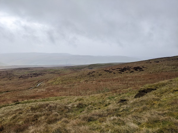
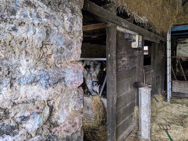
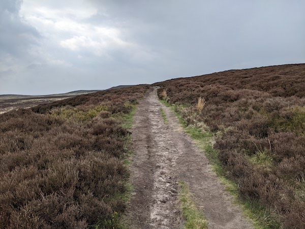
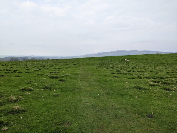
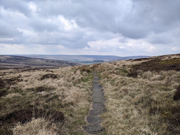
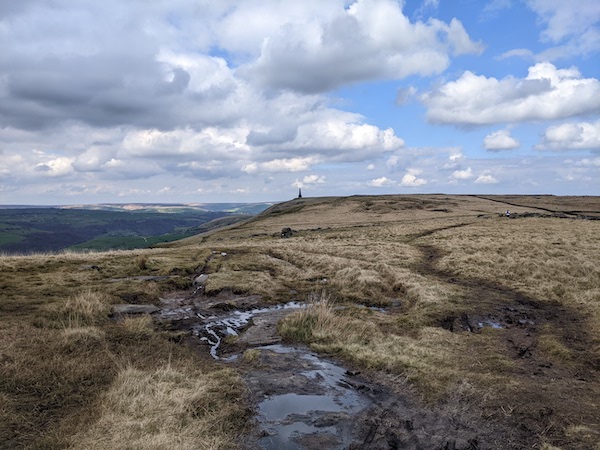
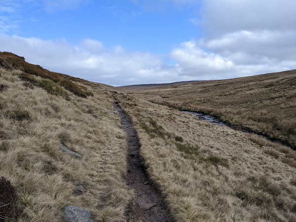
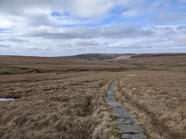
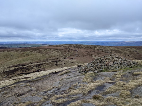
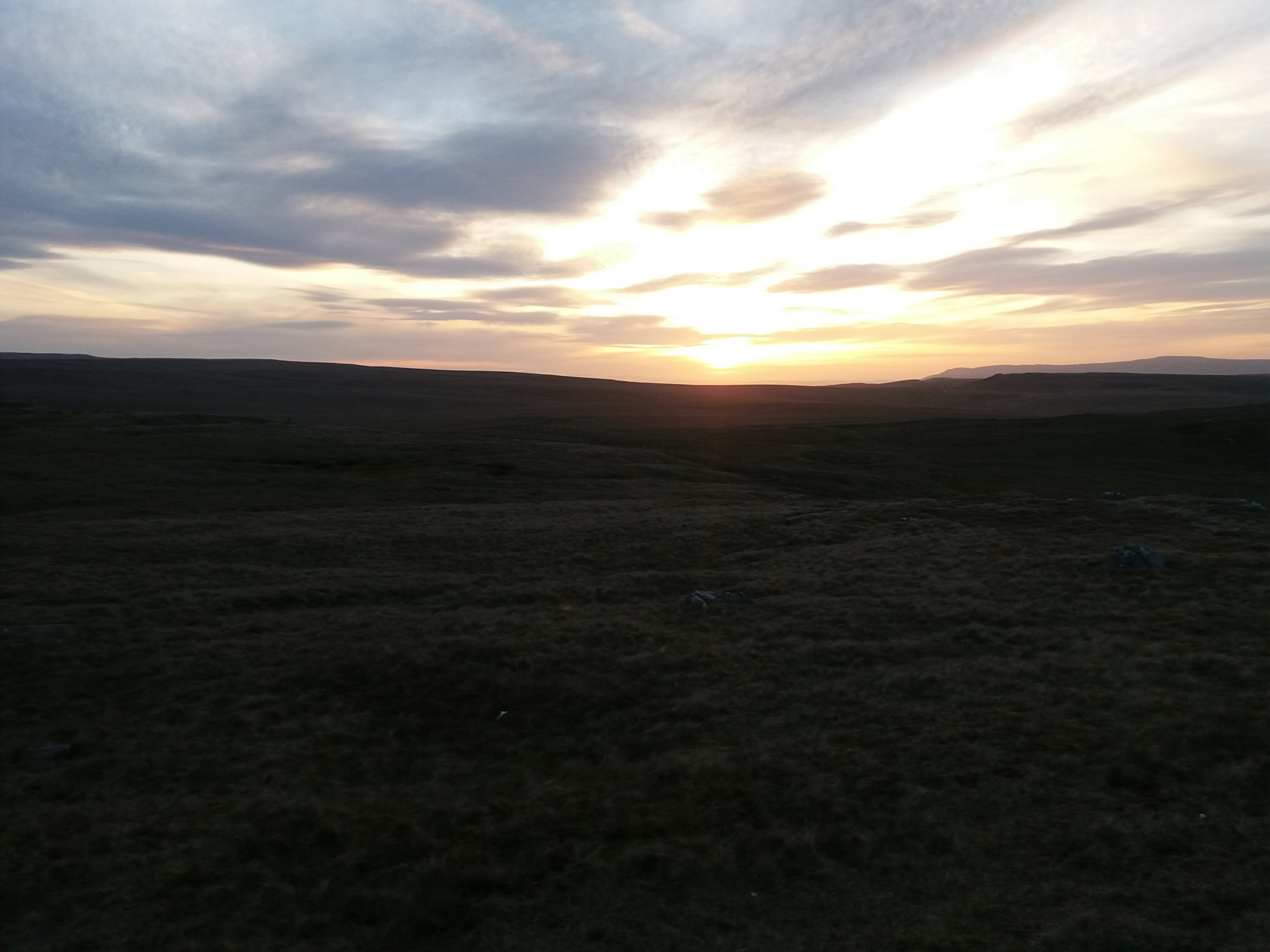
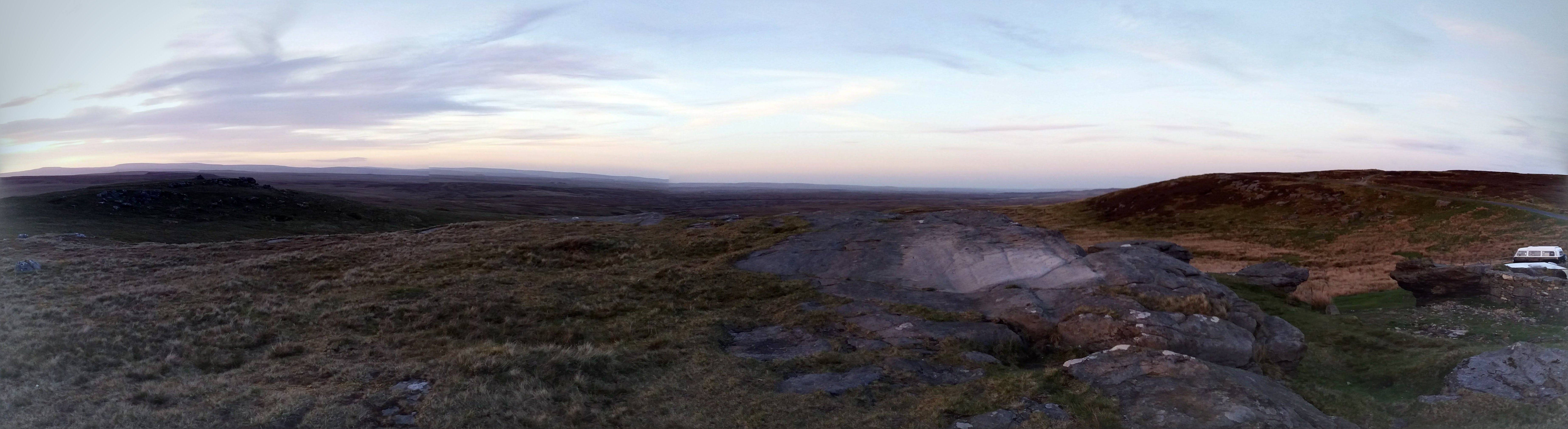
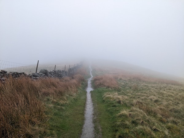
Once back on the path things were straightforward, although I probably lost about an hour in total. I reached the Twin Cairns and began the long descent towards a road. Coming down the grassy sections I slipped over a few times, which was harmless but annoying. I hid from the rain in a barn with another hiker, then continued on my way to Pen-y-ghent.

I should have had views of Pen-y-ghent for the previous few hours, but visibility was very slight. Given how tired I was, and how the day had been going, I felt that climbing Pen-y-ghent would be pushing my luck, and turned left to head towards the village.

This was the route up Pen-y-ghent.

I actually regret not climbing Pen-y-ghent as my route to the village was long and slippy, and I think the Pennine Way path might have been less trouble. I ended up in Horton-in-Ribblesdale with 90 minutes until my train, and made the mistake of going into the Crown Pub.

This should have been a view of Pen-y-ghent

As I entered the Crown, two people coming out warned me against it. I wish I’d listened to them. The pub was chilly, both literally and figuratively. There were no food or hot drinks available, which seems like poor hospitality for a pub that makes its profits from the hiking trail. It could certainly be more welcoming to those who, like me, had had a cold, wet day. I was relieved when it was time to head to the station.

I’m taking some lessons from this hike. First, I am going to follow the suggested rules for hiking, making sure that people know where I am headed in case things go wrong. I will always pack a map and a thermal blanket. If I’d injured myself while off the trail it would be unlikely I’d be found without a search party – and who knows how long it would have been before anyone asked for that? I will not risk putting other people to such inconvenience in future.

During the two hour train journey home, I could not imagine wanting to go hiking again – certainly not if there was any risk of rain. But the more time passes from the discomfort of the hike, the more I remember the good parts of the day – the wildness of the rainy landscape, chatting to the other hiker in the barn, the confidence of knowing I could make the journey despite the weather. It would be a poor thing to only hike in the sunshine.

I’m not sure Mr Bull wanted me in his barn

Pennine Way Day 5: Ponden to Gargrave

Ponden Reservoir

Getting back to Ponden reservoir was easy enough. The bus to Howarth leaves from near my house, and a taxi took me to where I previously left the trail. I’d booked a room in an Airbnb in Gargrave and it was a simple sixteen miles or to to my destination. I was leaving a little later than usual, but planned to arrive around six.

The day’s walk began with a stroll around Ponden reservoir before climbing out of the valley, with some good views on the way up. The route was wiggly but well-signposted, delivering me to a lovely stretch of moorland. I even passed a peacock on the way up.

A good stride across an empty moor took me to some grouse-hunter’s huts. From here, the landscape was mostly tamed and felt less interesting. I passed through Ickornshaw village and hopped between fields. When I reached the Hare and Hounds at Lowthersdale I stopped for lunch and had a couple of non-alcoholic beers. It took a little time to rebuild my momentum after that.

Passing through Lowthersdale

The day’s highest point was Pinhaw Beacon, which features a new ‘toposcope’ in memory of those who died in the Covid-19 pandemic. I love seeing little guides to the landscape like this, although it was marred by a ghastly poem, based on Shakespeare’s Sonnet 18 (“Shall I compare you to a summer’s cold? / You are more virulent and fatal”).

There were a few wild stretches in the second half of the day, but the route was mostly farmland. It rained for a while, forcing me into waterproofs. For a section it followed a canal (although the double-decker bridge was curious).

Gargrave is one of the main towns on the Pennine Way, with the famous Dalesman cafe sitting directly on the route. There was a choice of a few places to eat, but I didn’t fancy two pub meals in a day. The gastropub revolution has raised the standard of British pub food, but a lot of it is overpriced. Every pub likes to pretend its meals are worthy of gastropub prices, but that’s not always the case.

The local curry house was booked up, but they allowed me to take one of the tables on their patio. Eating al fresco on an April evening was chilly, but the food was good.

Overall the day’s landscapes were pretty, but this section is not as exciting as some. It’s also, perhaps, churlish to complain about sections not being wild, given that much of the moorland on the Pennine Way is now paved with flagstones. In the days before these were laid out the route was extremely challenging, and I’d probably not walk it without the man-made paths. The accounts of people being swallowed up by the bogs do not sound much fun.

I went to bed straight after the curry, tired and needing rest ready for the 21 mile hike I’d planned for the following day.

A thin, faint section of the Pennine Way

Pennine Way Stage 4: Hebden Bridge to Ponden

Stage 4 of the Pennine Way is a satisfying one. It rises from the Calder Valley to cross Heptonstall Moor, then passes a reservoir on the way to the ruins of Top Withens. The pathways are wild and empty, with some great scenery.

As much as I love the image of the Pennine Way as a thin path up the spine of the country, the way-finding sometimes feels wearing. The guidebook I follow describes the route closely (as Wainwright’s guides does), with little attention paid to the wider scenery. Wainwright himself compares this to following the path with blinkers on, having no idea of its context. It can also feel fussy to be looking ahead to the upcoming gates and the twists in the track.

Sometimes the path becomes very thin

One answer to this would be to switch to navigating from the OS map – which I keep in reserve in case I need to find a route away from the trail for some reason. But I’ve also been wondering about how the route could be divided up differently, and treated as a journey between waypoints. This would make navigation harder on some sections, but I like how this breaks things into sections. I think it’s also a better narrative, so I’ll try it with the description of this walk.

The day’s first stage was the climb out of the Calder valley from the canal. The climb starts with a lovely steep cobbled path. I considered buying a house next to this before I realised I did not have the energy to handle the renovations. The climb passes the ruins of a chapel with a tiny graveyard, and a sign that offers two paths, Wainwright’s preference and the ‘official path’. There is no one Pennine Way.

The second stage involved crossing a valley, down to the old bridge at Colden Water then following a rising path through Colden village. There’s a lovely little farmshop just off the path here, called May’s Aladdin’s Cave. It’s a good climb out, which continues to a cairn with a ‘good luck’ sign embedded in it. Here the path turns to the left and sets out on another stage across barren Heptonstall Moor.

The fourth stage follows a farm track then heads down through a tiny, pretty valley before rising towards a road. A short way off is the Pack Horse Inn, which is a good place to stop for lunch. The main route follows some quiet roads until turning off towards a reservoir.

The path around the reservoir is easy to follow, as long as you know where the turn-off is. There is a flagstone path out of the valley which descends near the ruins of Top Withens farmhouse. I love this ruin, which is famous for not actually being the sight of Wuthering Heights from the Emily Bronte novel. A sign says this building is not the one in the book here, but people still trek out here because the place is famous for not being the ruin, and people once confused the two. It’s a beautiful lonely place.

Top Withens from September 2021

From Top Withens its a relatively short downhill section towards Ponden Reservoir, which was my finishing point for today. From here, I had to trek back to Haworth, from where I could pick up the bus. The road took me past the Old Silent Inn, which is so named because Bonnie Prince Charlie stayed there on his retreat, and the locals did not betray him. The pub is, of course, rumoured to have a few ghosts.

Travelling from Ponden back home was a drag. I discovered that I had dropped my trusty coffee cup somewhere along the way. I’d missed the bus to Howarth by ten minutes, so walked. It was touch-and-go as to whether I could make the bus from Howarth to home, but I decided to wait for the next one and do some book-shopping. I’ve started collecting old guidebooks to the Pennine Way, and picked up an interesting one from the 90s, as well as a book on drystone walls with the portentous title Who were the Wall-Builders?

,

Pennine Way Stage 3: Standedge to Hebden Bridge

Reaching the point where I previously left the trail was a drag. It took 3½ hours, including a train, two buses, and my regular daily step count. Admittedly this did include stopping for a vegan breakfast at Huddersfield Wetherspoon’s, but it’s still a long time. (As much as I loathe Tim Martin’s politics, he is an excellent host. I know I can visit one of his pubs anywhere in the country and receive a vegan breakfast, which is no small thing).

The day’s route ran from Standedge to Hebden Bridge. There are no epic hills, some boring reservoirs and the M62 dominates one section. With the roads, planes coming into Manchester, and the proximity of Manchester and Rochdale themselves, this section rarely feels truly wild. It’s also busy – I found myself walking through an orienteering event after the M62; and the ridge towards Stoodley Pike is always full of walkers. But, while this route suffers in comparison with other parts of the Pennine Way, any day hiking beats being indoors.

The best section of the day was the rocky path above on Marston Moor, which also included some decent views. There were some isolated sections where the ground-nesting birds were incredibly loud – obviously unhappy about me passing close to their nests.

The route crossed the A672, where there was a friendly cafe, and shortly after crossed the M62. A brief section of moorland took the trail to the Halifax Road and the White House pub. From here, it followed a couple of reservoirs. While there were some nice backgrounds, the path itself was something of a trudge for a mile or so. Wainwright describes the scenery in this section as “nothing to write home about”.

After the reservoirs, there is a stretch of wilder moorland that rises towards Stoodley Pike. This monument, 37-meters high and at the top of a hill, is visible for miles around. It first appears on the Pennine Way five miles back at Blackstone Edge, where it directly ahead, with no real feeling of its distance.

This Landrover has been there so long that it appears as a landmark in some guidebooks

While the landscape wasn’t as epic as I’d have liked, this was a good walk. Being out in the countryside allowed me to leave behind the stress of the working week. My new coat kept the wind off. And the best thing about this section was that it ended a short distance from my house, so I could walk back along the canal. At the Callis community gardens, I passed a woman meditating, a sign inviting others to join her to promote world peace. If I’d not been so tired, I might have done so.

I previously walked this section in May 2017.

Pennine Way Stage 2: Crowden to Standedge

I woke in Glossop for my second day walking the Pennine Way, and I wasn’t sure that I could be bothered. I took my morning slowly, treating myself to a large vegan breakfast, allowing my enthusiasm to gather. I then took a taxi to my starting point, which turned out to be much more expensive than I had expected. I crossed the Torside reservoir and headed out on the day’s first climb.

Looking back down the valley towards Crowden

The second day opens with an incredible bit of walking, following a valley towards Laddow Rocks, then moving along the edge of the rocks, rising higher toward the valley’s watershed. The views back towards Crowden are impressive and the climb is a satisfying one.

Passing one fissure on the path I heard voices, and when I said good morning the men introduced themselves as mountain rescue, pointing to their patches. “We’re on an exercise,” they explained, telling me that if anyone asked if I’d seen someone on the path, I should say I hadn’t. But I never met the rest of their crew.

The route followed a good path past Black Hill, then across a long valley towards the A635, passing numerous people who were out for day trips. It’s interesting how these early sections of the Pennine Way change between deserted and relatively busy. On the other side of the road was a managed landscape where a valley led down to Wessenden Reservoir.

One last short, steep climb took me onto some moorland. The path passed a pair of reservoirs and I soon reached Redbrook Reservoir. Here, a route to the right led off towards Marsden, where I would find transport back home. The Pennine Way passes through some rugged and isolated country, which means that transport links can be tricky. It was a slow journey to Hebden Bridge.

I previously walked this section in May 2017: Pennine Way – Day 2

Pennine Way Stage 1: Edale to Crowden

I’ve decided to try re-walking the Pennine Way this year and set out on April Fool’s Day. I spent the night before in Sheffield, where I found I couldn’t fill my water bottles from the hotel sink and was overcharged for water in the station. I was also too early to buy coffee. Things improved once I got to Edale and the Penny Pot Cafe, which provided coffee and a warm welcome. As soon as I set out on the trail, I felt my recent work stress fell away, failing to keep pace.

I was surprised at how much of the route I remembered. The journey starts with a gentle stroll through a valley with stiles and sheep. Things get serious with Jacob’s Ladder, a steep stairway onto the hills. The name of these stairs is a biblical allusion, named after Jacob Marshall, who cut the steps in the 18th century. This was apparently an important packhorse route, and there are two routes up the hill, with a shallow path for horses and the steeper steps for the drivers.

Jacob’s Ladder

This was the first long hike I’d done in some time, and it took time to settle down – my muscles felt odd and kept pulling, and my equipment did not set right. The rucksack was too heavy, and my clothing was not keeping the wind out.

After the ascent, the route has some beautiful views as it heads towards to the waterfall at Kinder Downfall before heading into some beautiful wild country.

The Pennine Way was designed to start near Kinder Scout to mark the trespass, and the pathway opened on the event’s anniversary. The route has been diverted since its early days, and has been improved by the addition of stone slabs, which apparently came from demolished mills. This first day on the trail was fierce in the early days, with stories of people falling into bogs up to their waist. Even with the stones, it’s still possible to get one’s feet wet passing through the sunken sections. People sometimes say that the flagstones have ruined the Pennine Way experience, but many people would give up after this first day.

There is a long moorland section until the A57 Snake Pass where the route became busy with people visiting the Bleaklow crash site. The Pennine Way drifted off through the sunken gully of Devil’s Dike. I kept track of the path using Google Maps, which traces much of the Pennine Way (with a guidebook and OS map in reserve in case I couldn’t get signal).

Devil’s Dike

I was very lucky with the weather, but the ground was slippy and gloopy with mud, making it hard to keep my footing at times. I passed Bleaklow Head and the entered the day’s final section, following the path on the hillside of Clough Edge, with views of Torside Reservoir, the day’s end point.

One of the big problems with the Pennine Way is a lack of accommodation. There is a campsite at Crowden, but the Old House at Torside (where I stayed last time) closed after the pandemic. There are options for accommodation in Glossop, but this is some way off the trail. The single bus-route to Glossop is very unreliable, meaning that you will need a taxi. I was fortunate that a colleague had offered to pick me up and take me into town.

But, overall, the first day of the Pennine Way is a great day’s walking – although I imagine it would feel different in poor weather. More than anything I love how the path stretches out into the distance, sometimes wide, sometimes so thin it almost disappears. Sometimes I would drift off the ‘official’ path a short distance, but I don’t think that matters. The important thing is the path leading forwards.

I previously walked this section in May 2017 – see my post Pennine Way – Day 1.

Trail Communities

It’s not the beer or the blisters, or even the rain that I remember most fondly from the 287 miles of the Pennine way. And it’s not the views, which were better entertainment than anything I’ve seen on TV. No, the thing I loved most were the conversations with strangers along the way.

I’m quite shy and wish I was better at talking to strangers. But when you meet someone on a quiet path through bleak moorland, there are obvious things to ask: where they’ve set out from, are they walking the whole trail, are the conditions ahead any good? Sometimes you’ll stop for a couple of minutes; if you’re going the same way, you might fall into step for a time. The Pennine way is a community, a network of meetings and messages stretching up the spine of England.

The first people we’d met, just out of Edale, had done the walk years before. Amazingly, they’d only seen 20 minutes of rain – which means I think they missed some of the essential experiences of the walk. It’s quite something to be soaked to the skin and know that I’d rather be tramping up that mountain than sitting dry in an office.

Some of the stopping points pass on the news of the day to everyone who passes. At a chuck wagon on the roof of the moors, we heard about someone who’d done a thirty mile stint that day; and about the Australian ahead of us. We finally met her at the end of an uphill slog out of Hebden Bridge’s valley, where she was sheltering in a bus stop. We spent the day walking together, chatting about life and the how we’d come to be walking. She’d chucked her job in favour of a series of adventures – after the trail would be a marathon in Iceland. We parted in the drizzle at the edge of a reservoir.

I’ve never been good at pub chat, but the Pennine Way is the banter equivalent of a stroll to the shops. The Tan Hill Inn, (the highest pub in the country), is like an inn from a fantasy novel. Over the evening, the entire dining room here merged into a single conversation between the different tables. We heard about the person walking North-South, forced to fill a carrier bag of snow, having run out of water on the first section. A couple had stopped in for a drink and ended up booking their wedding reception there.

In my metropolitan bubble, everyone I know voted the same way in the referendum. While politics didn’t come up that often, we learned that a walker we met a few days running had worked for a pro-Brexit think tank. But disagreements could be left aside. We met them at one pub that didn’t understand hospitality, refusing to sell our companion food since they’d arrived four minutes after the kitchen closed. We offered them our starters, sharing food with someone we might have found ourselves arguing with if we’d encountered them on social media.

The finest place was the last stop on the way. When I first booked the Hiker’s Way, I wasn’t sure I’d like it. On the phone, they didn’t sound best-pleased about having to cater for a vegan. But when we arrived we were welcomed with a cup of tea, our boots taken away to be cleaned.

The Hiker’s rest is different from the other stops as most people stay two nights, breaking up the final twenty-six mile section. On your first night, there’s a new-pupil feeling, with the returning guests seeming more established and experienced. The following night you’re the experienced one. And there were stories at the bar – about the lengths some hikers to go to reduce weight, about swimming the channel, and about the spine race, which takes place on the Pennine Way in Winter.

The guesthouses have their own communities too – if a walker is a bit of a handful then the message will go up the line ahead of them, letting other owners know that they might need their best diplomatic skills for this one.

Whenever I passed houses for sale, I’d dream of buying them, spending my days watching the world pass by, trying to stop walkers for a cup of tea. I’d see ruins and feel sure that I could patch them up, given time. The path took us through a garden where a man handed us freshly-fallen apples from his pocket, the most delicious fruit I’ve tasted. Another farm offered a shed of supplies, and a kettle for tea. In the guestbook, walkers told how their walk had been saved by this intervention. They even had a shower, which might not have been hotel standards but I could imagine some for whom this was a lifeline.

There are the guest books too. We followed the stories of some of the people who’d strode ahead of is, like Emily who was walking from Lizard Point to John O’Groats. It was only the third night’s conversation when we learned it was not her first time walking the length of the country. We saw traces of people we knew in the message books in the bothies. Reading the tales of winter journeys made us grateful for the wet but warm weather we grappled with.

Wainwright loathed the Pennine way so much he offered a pint to anyone who completed it, at great expense to him and later to his estate. The prize is still there, taken over by a local brewery, who also hand out certificates. I bet that brewery makes their money back with the additional pints that follow the free one. And the final book, full of the statements of the other walkers – looking back we could find some of these other companions, from the hitch-hiker we’d collected near the start through to people we’d met ages before. And we added our own entries.

Even though thousands upon thousands of people have walked the Pennine Way, it is still alive with stories, and you can’t walk the route without adding your own.

The Kinder Scout Tresspass

One of the big surprises of walking the Pennine way was seeing how much space there is in England. As great as the South Downs National Park is, you’re never far from roads and pubs: it’s a thin strip through a densely populated region. Further north, particularly in the Cheviots, there is little visible sign of humanity other than the path itself and maybe a nearby fence.

Everywhere, those fences. Sometimes there are also signs saying who owns the land. Tramping through the countryside, you understand that the paths are ways through other people’s property, that these spaces belong to particular people.

The first section of the Pennine Way, just after Jacob’s Ladder, passes close to Kinder Scout, the highest point in the Peak District. Back in 1932 it was the site of what Roy Hattersley described as “the most successful act of direct action in British history“.

Back then, there was no right to walk across this area of the country. But, on April 24th 1932, a group of about 400 walkers was following the path when a whistle sounded. They stopped and turned to face up the hill. Another whistle. And, on the third sound of the whistle, they left the path and began to climb towards the Peak of Kinder Scout. Between them and the hilltop were a line of gate-keepers, some of them armed with sticks, who were ready to fight to prevent the trespass.

The group contained both committed ramblers and newcomers, who’d been invited by flyers, which promised: “Come with us for the best day out that you ever had”. The walkers were in high spirits that day, joining in songs such as It’s a Long Way to Tipperary. Among the organisers were a communist organisation, and the walk included some spirited renditions of The Red Flag.

The moor owners and gamekeepers were determined to keep ramblers off the Pennines. The area of land wasn’t farmed, but rather reserved for shooting on a few days each August. Despite this, there was no right to access these areas. The mass trespass didn’t reach the top of the hill, and there was some hand-to-hand fighting, in which a gamekeeper was injured. The police arrested five or six people who were soon put on trial. The arrests were for the violence rather than the trespass, which was not a criminal offence.

At his trial, the ringleader, Benny Rothman, delivered a prepared speech.

We ramblers, after a hard week’s work [living] in smoky towns and cities, go out rambling on weekends for relaxation, for a breath of fresh air, and for a little sunshine. And we find, when we go out, that the finest rambling country is closed to us. Because certain individuals wish to shoot for about ten days per annum, we are forced to walk on muddy, crowded paths, and denied the pleasure of enjoying, to the utmost, the countryside. Our request, or demand, for access to all peaks and uncultivated moorland is nothing unreasonable.

Rothman was sentenced to four months, but had began a process that led to the National Parks act and the establishment of the National Trails. That was a long process, however. Some groups resisted these changes, such as The British Waterworks Association, which opposed the 1939 access to mountains bill because of  “the tendency of such areas (ie mountains and moorlands) to become a resort for undesirable characters among whom immorality and licentiousness is rife

In his book Watling Street, John Higgs points out that of the UK’s 52 million acres, a third is owned by 1200 aristocrats and families. Much of this is transferred through trusts without tax, allowing land to be stockpiled – only 100,00 acres comes on to the market each year. There is no cost to owning this and keeping it out of the hands of others. Higgs quotes Lloyd George: “Who made 10,000 people owners of the land and the rest of us trespassers in the land of our birth?

Re-tracing the Pennine Way with Simon Armitage

I started reading Walking Home, Simon Armitage’s book on the Pennine Way, just before Armitage was appointed Poet Laureate – and I considered giving up on the book right then. Benjamin Zephaniah has already explained why honours in the name of the British Empire are a bad thing:  Armitage has compounded the shame of his CBE with his recent appointment as a paid flunky.

Still, Walking Home is not a bad book. At the start, Armitage slightly oversells the toughness of the walk – I guess he’s trying to add some drama – but I’ve seen some fairly unfit people get by just through persevering. The book that follows is a gentle description of the people he meets, the scenery and his poetry gigs along the way.

The best thing about the book was reliving the trail. Armitage does it in the less popular direction (i.e. into the wind) and was unluckier with the weather than most people – his experience of Pen-y-ghent was as rough as mine. There are some great descriptions, particularly an early one of the Cheviots – “The view in every direction is delicious: a solar system of summits, majestic but benign hills overlaid with lush grass and the odd rectangle of planted conifer., And, somewhat incongruously, in the far distance to the east, the sea.

While Armitage says he wouldn’t walk the trail again, the book made me want to go back, not least because of things I’d missed. For once, I didn’t realise that Jodrell Bank was visible from the Pennine Way. And I’d love to walk the Cheviots again.

There’s something interesting about how walkers can have such different experiences of the same path. It reminded me of the way we interpret texts differently, based on what we bring to it ourselves, and the conditions at the time. The route might be the same, but the walk is different – just like we have different readings of the same text.

And there are similarities too. Armitage had the same sensations of space as I did, the amazement that our ‘overcrowded island’ contains areas so wild, so barren. Armitage also wonders about the flagstones, a thing of controversy for some walkers, since they make difficult paths accessible in tough weathers. Armitage points out that these huge stones are sinking and will, in time, disappear into the moorland.

The most disappointing thing about the book is that Armitage does not actually complete the trail – he abandons the final day for the comforts of home. I’ve spoken before about how we pick our own rules for hiking. But when you’ve chosen the terms of your walk, you have to complete it on those terms. Armitage’s failure to complete the last stage is only mentioned at the end of the book, where he tries to frame it as something that doesn’t really matter. This seemed dishonest.

Not completing the route is something of a trope in successful books about hiking, as Robert Moor pointed out in a 2015 New Yorker article, Why the Most Popular Hiking Memoirs Don’t Go the Distance. Discussing Bill Bryson’s A Walk in the Woods, Cheryl Strayed’s Wild, and Paul Coehlio’s The Pilgrimage, Moor asks “why are the three most famous accounts of hiking three of the world’s most famous long-distance trails written by people who did not hike the whole distance?” It’s a good question, and Walking Home provides further evidence that this is indeed A Thing.

The Tan Hill Inn

You know those inns in fantasy novels? The ones with a blazing fire, where travellers discuss their journeys and their lives? Most pubs I’ve visited don’t come close. The only place I’ve had that experience is the Tan Hill Inn, the highest pub in the UK.

The Tan Hill is a decent walk or drive from the nearest town, and famed for being isolated. It has its own snowplough and generator; in March 2013, visitors were stuck there for five days. The pub has survived for centuries as a refuge and is a well-placed stop on the Pennine Way.

Before going, my mental image of the place was the Slaughtered Lamb in the movie American Werewolf in London. Indeed it had been used in a Vodafone advert, with the pub sign from this standing in the corner of the bar. We arrived to a blazing fire, which someone told me was kept going at all times.

In the dining room that night, people gathered. As people played music next door, we talked about about our journeys, what we’d seen and plans for future walks. A couple, a man from Essex woman and his fiancee from Riga, had dropped by and ended up deciding to hold their wedding at the pub. The talk went between tables, as did the dogs. We discussed walking the Pennine Way North to South, running out of water in the Cheviots, and hiking injuries.

In the bedroom was a book called The Ascent of Everest. It seemed appropriate for an Inn with so many hikers. But, flicking through the book I found it was about a different Everest to the one I expected.

Sunset was beautiful – from the window of my room I could see only a couple of lights. Indeed, on the next day’s hike, it was most of the day before the ridge where the pub sits dropped out of sight.

Panorama from Tan Hill – click to expand

For me, one of the best points in hiking is the brief conversations with other travellers – where are they from, where did they set out from, what have they seen on their way. As we get further north on the Pennine way, accommodation becomes rarer, and the hikers cluster more. There’s something fantastic about drinking a pint with people you’d never meet anywhere other than the country’s highest pub.