A mystery in Stanmer Park: the ceremonial staff resting place

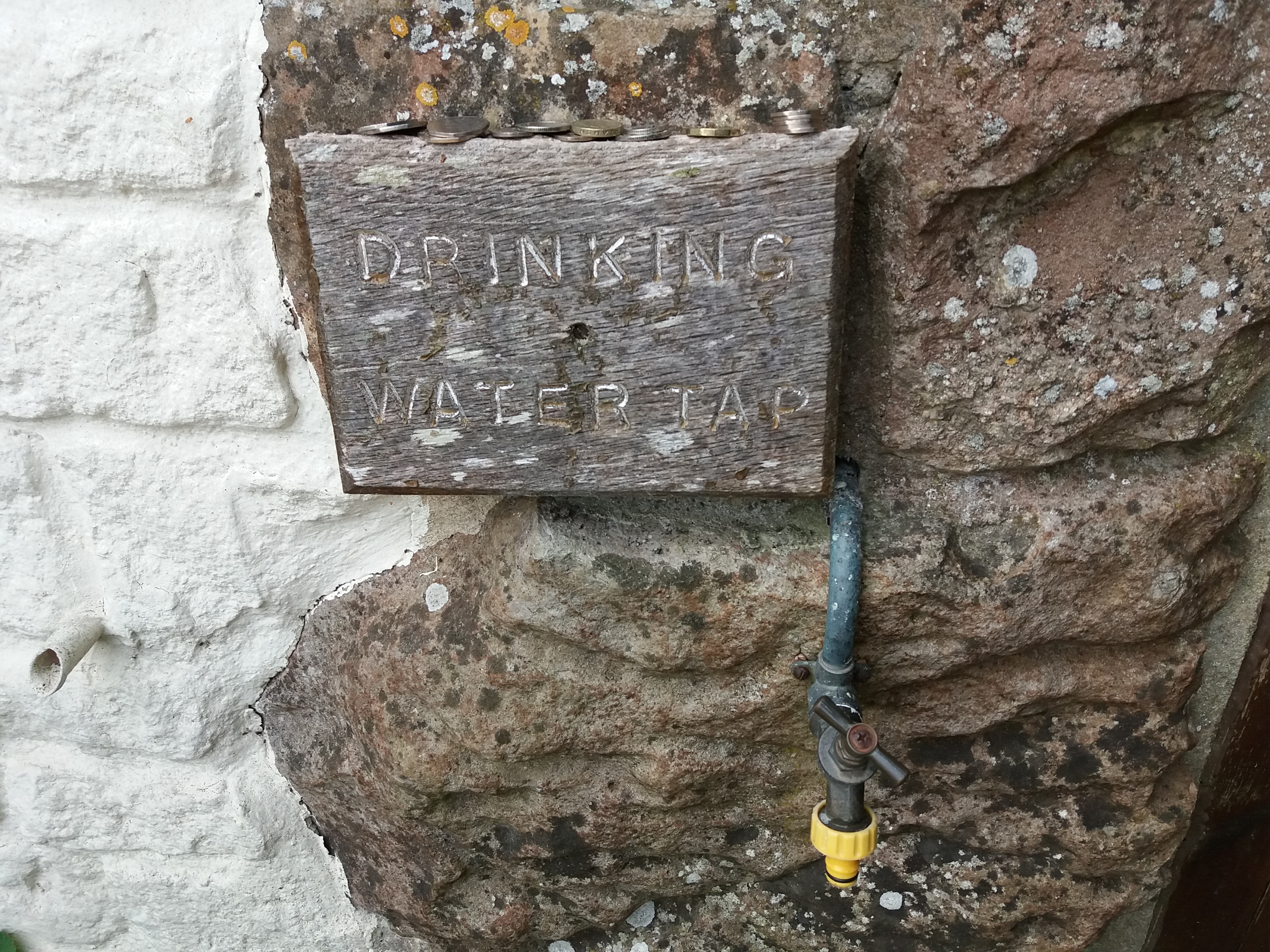
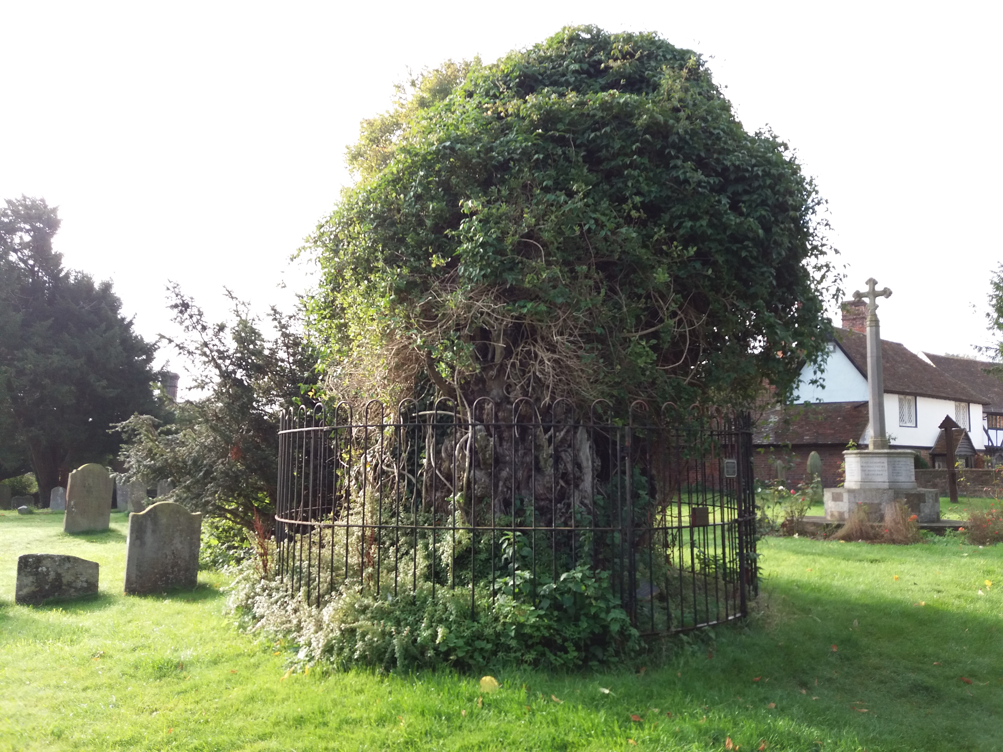
Sometimes, you find interesting things.

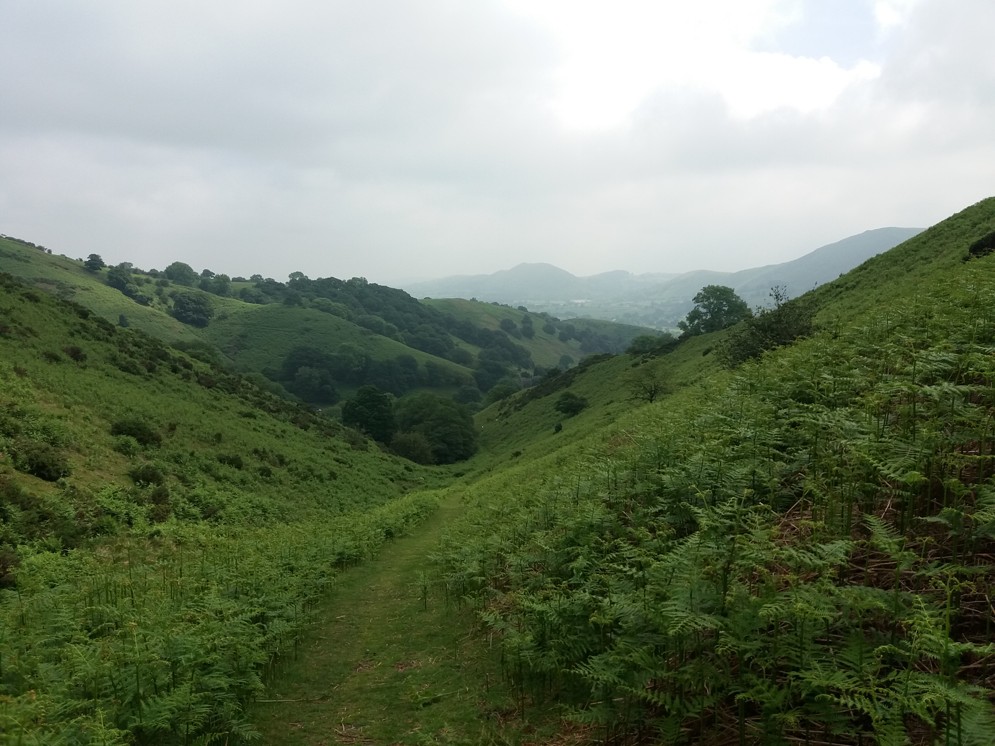
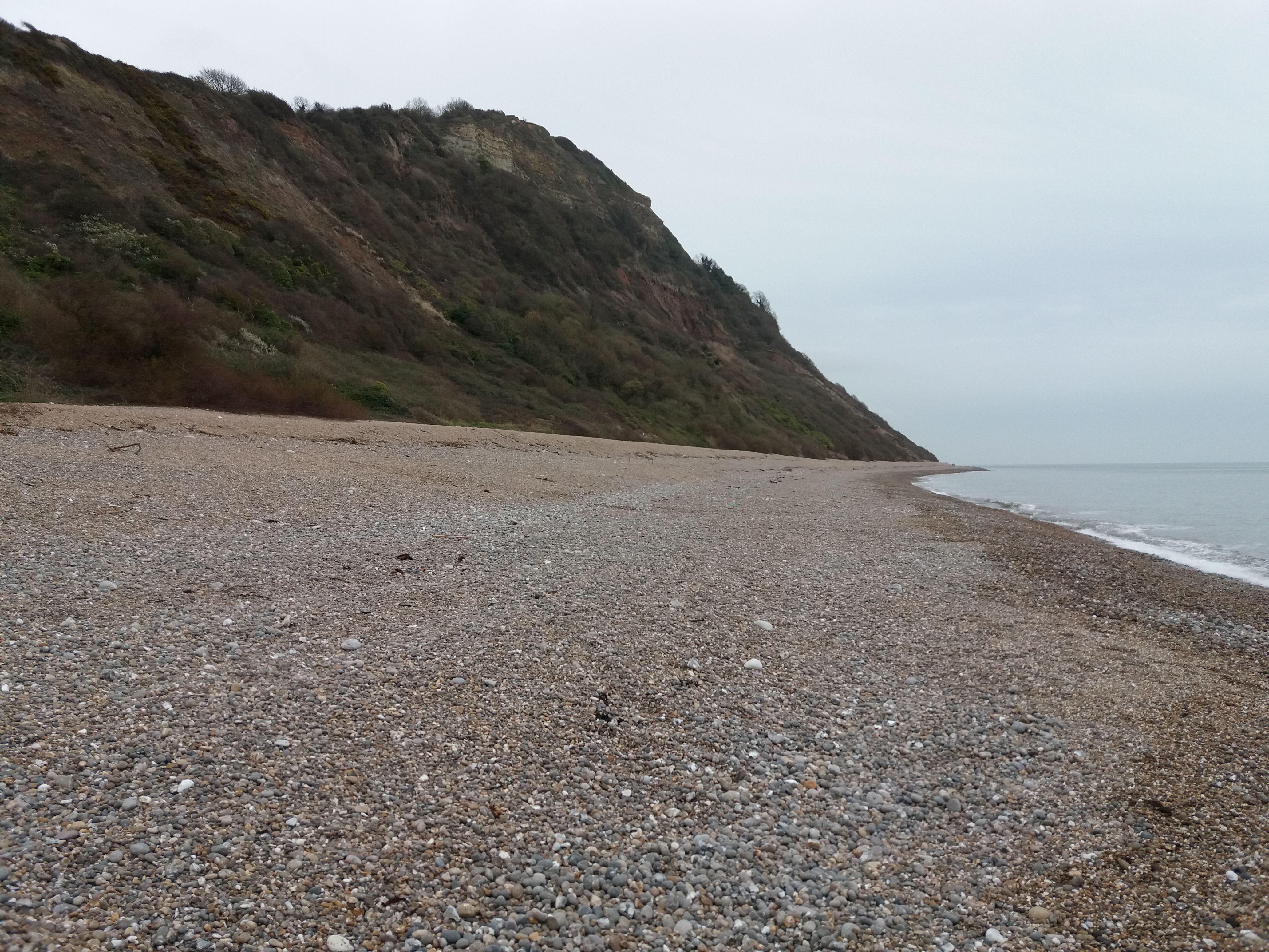
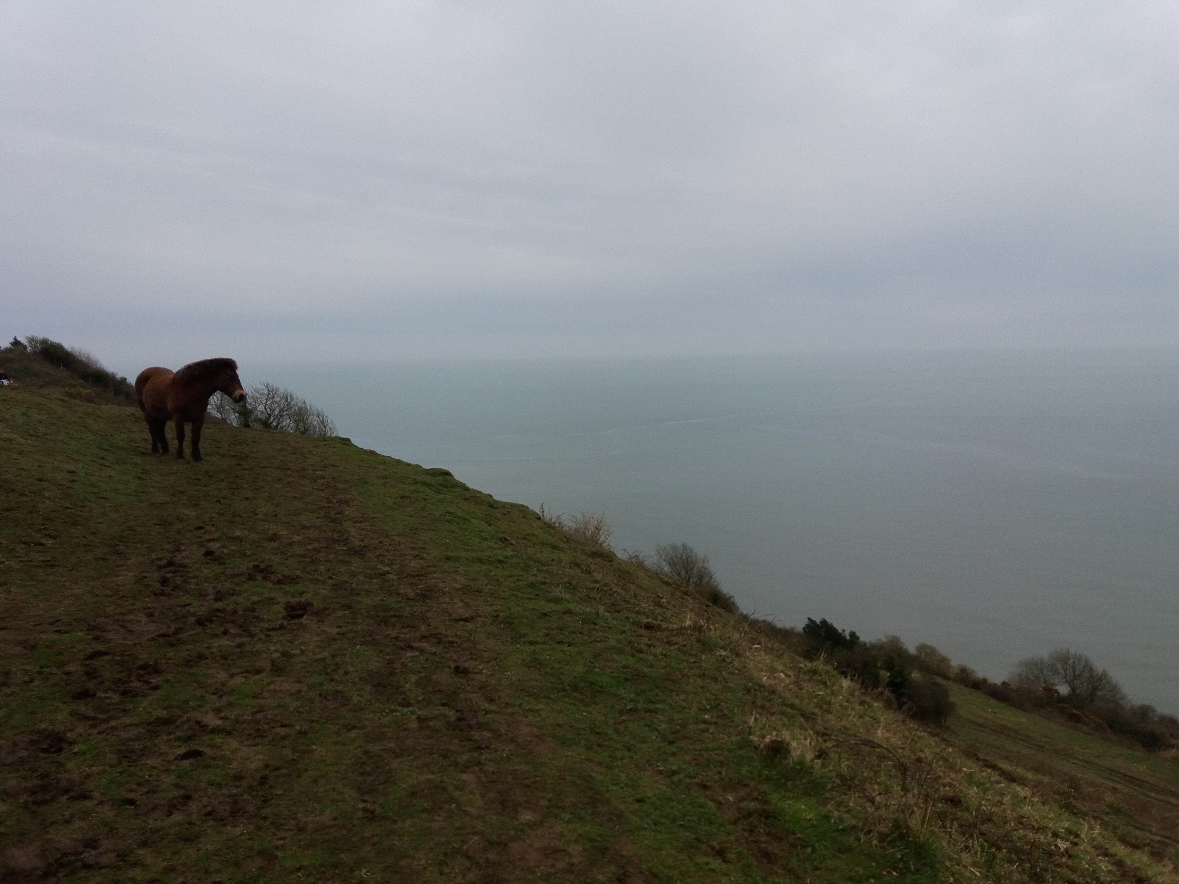
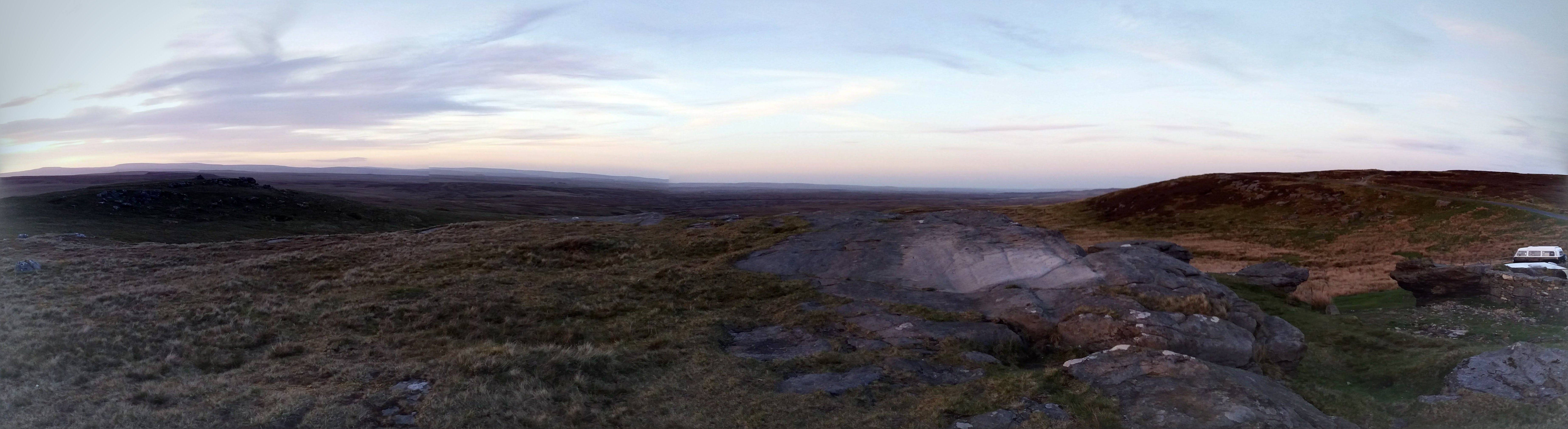
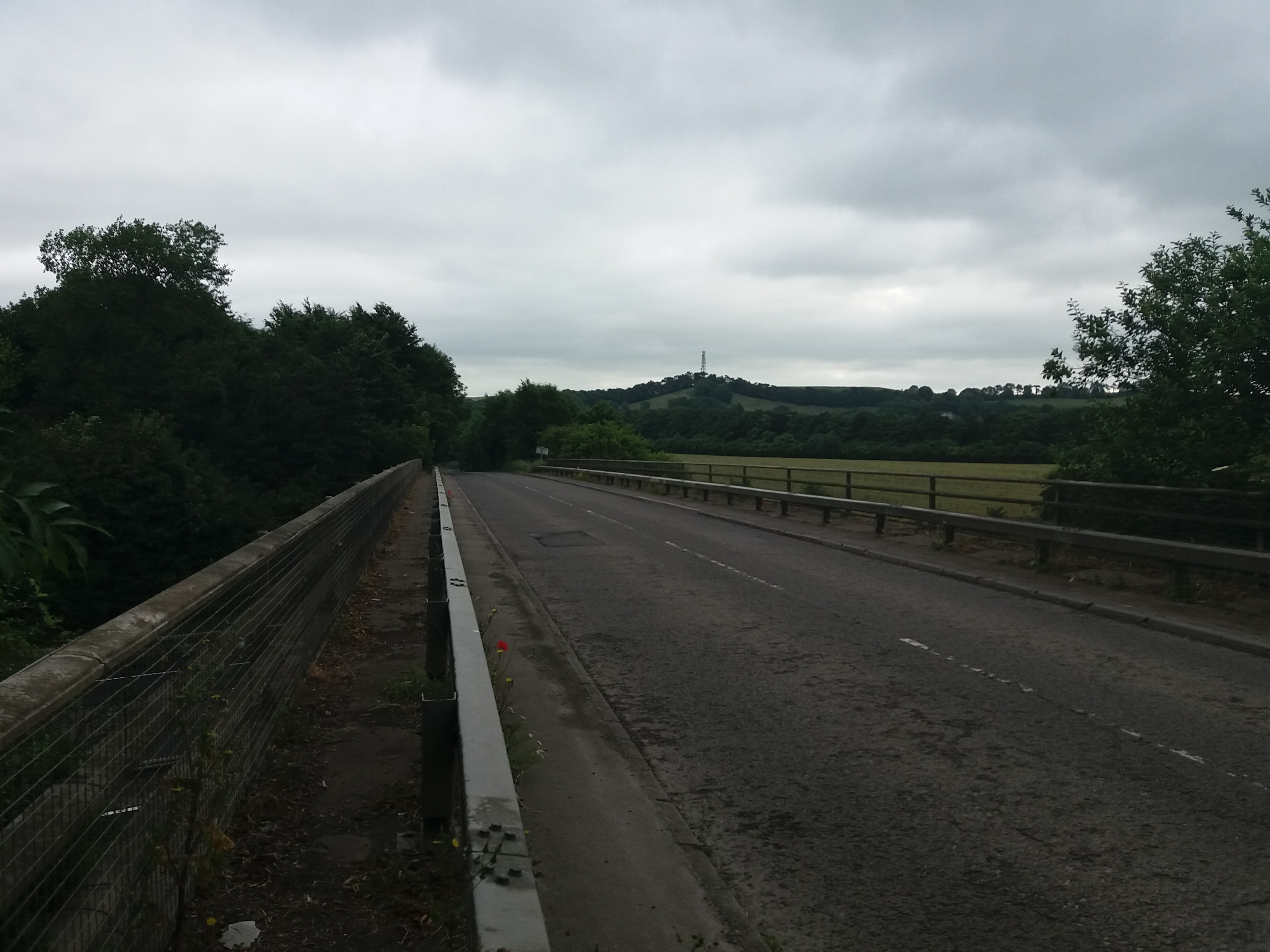
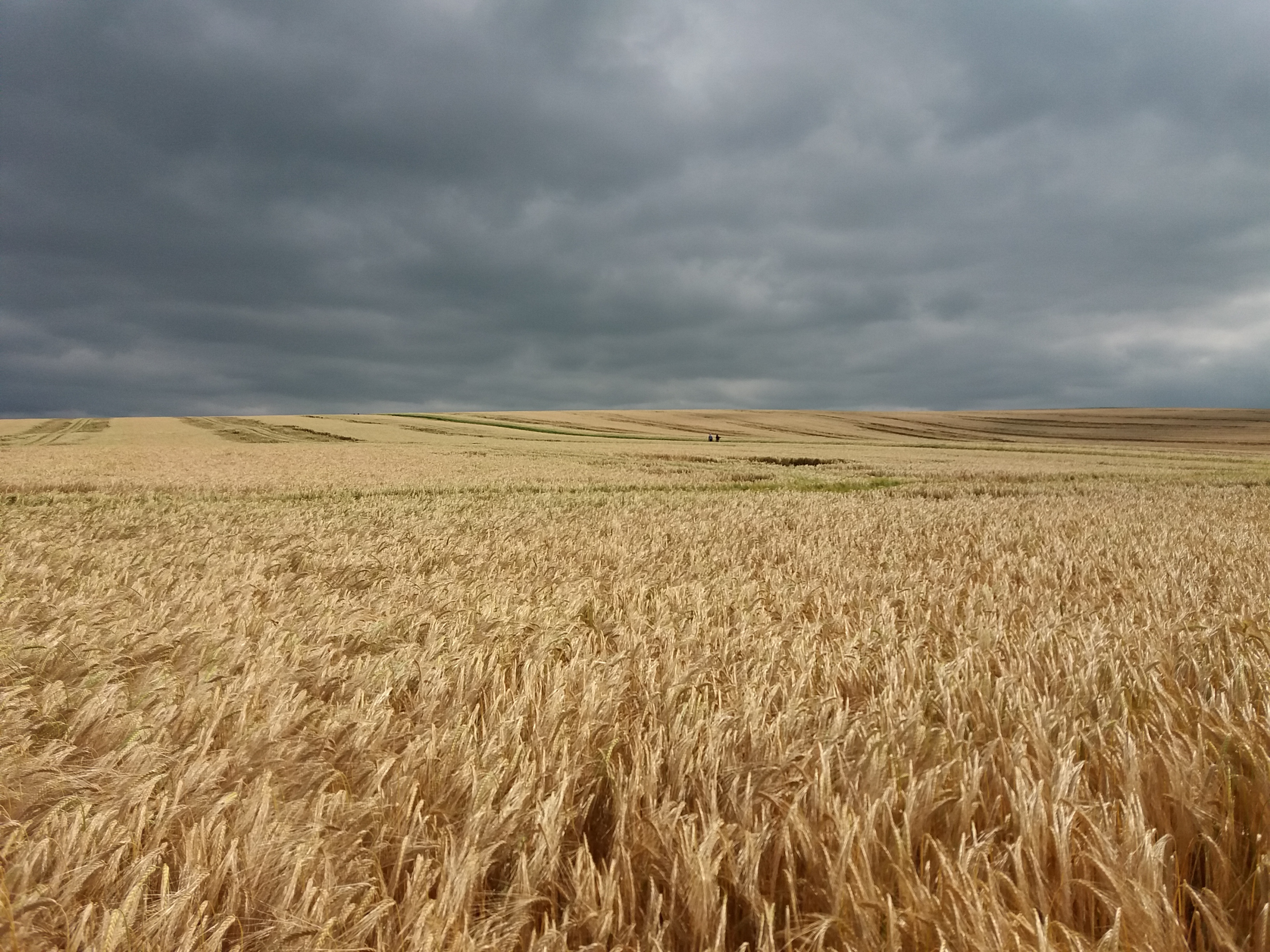
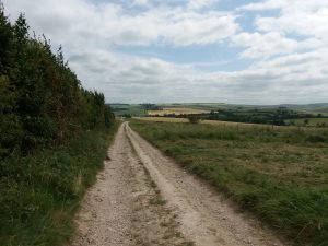
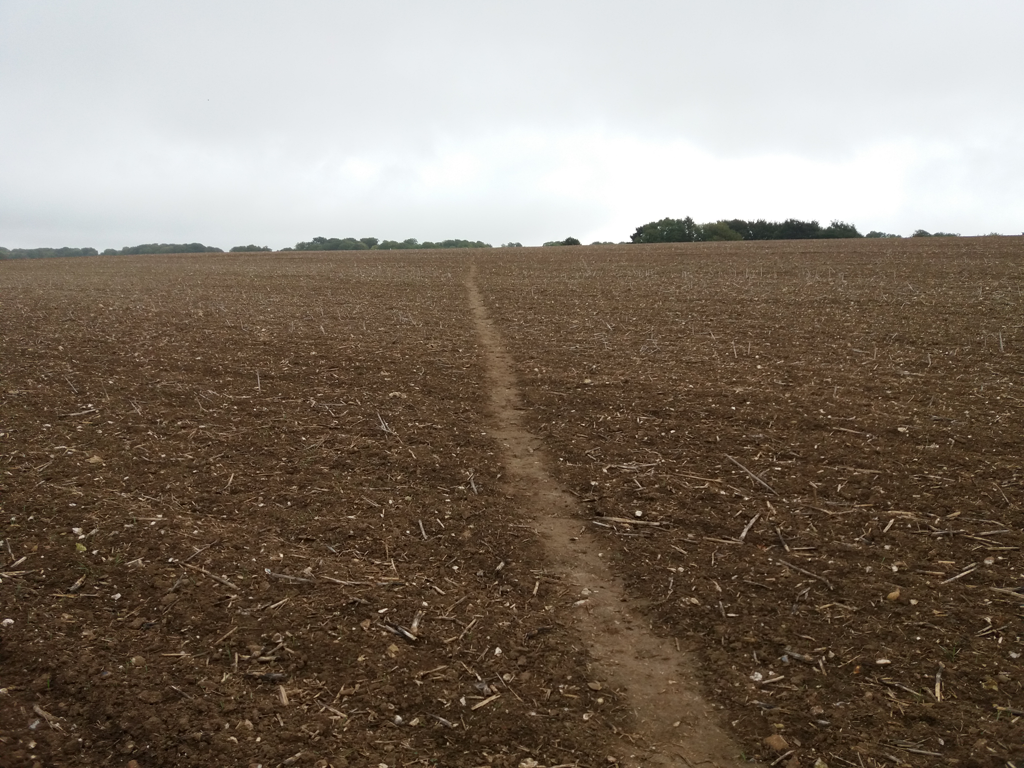
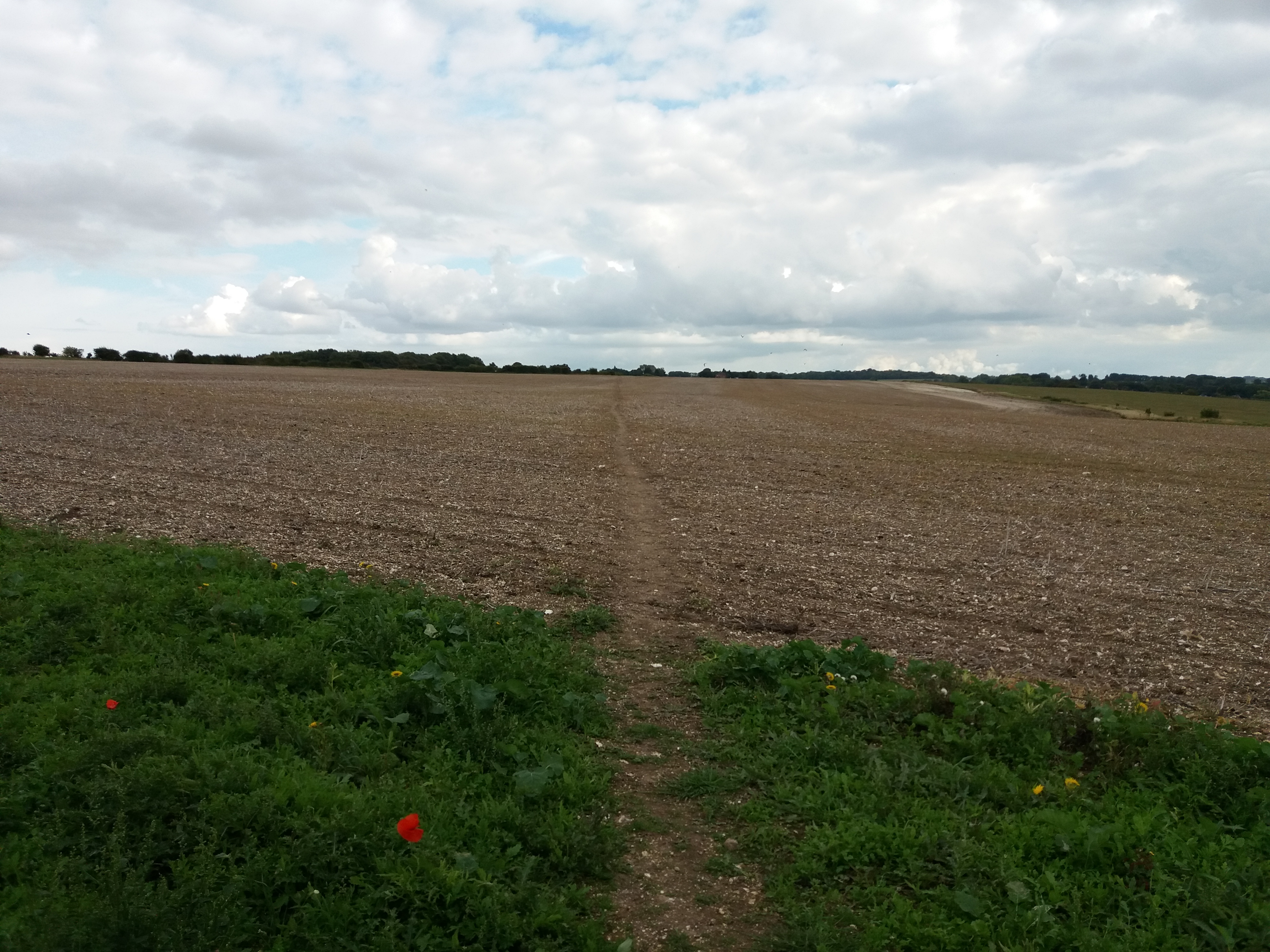
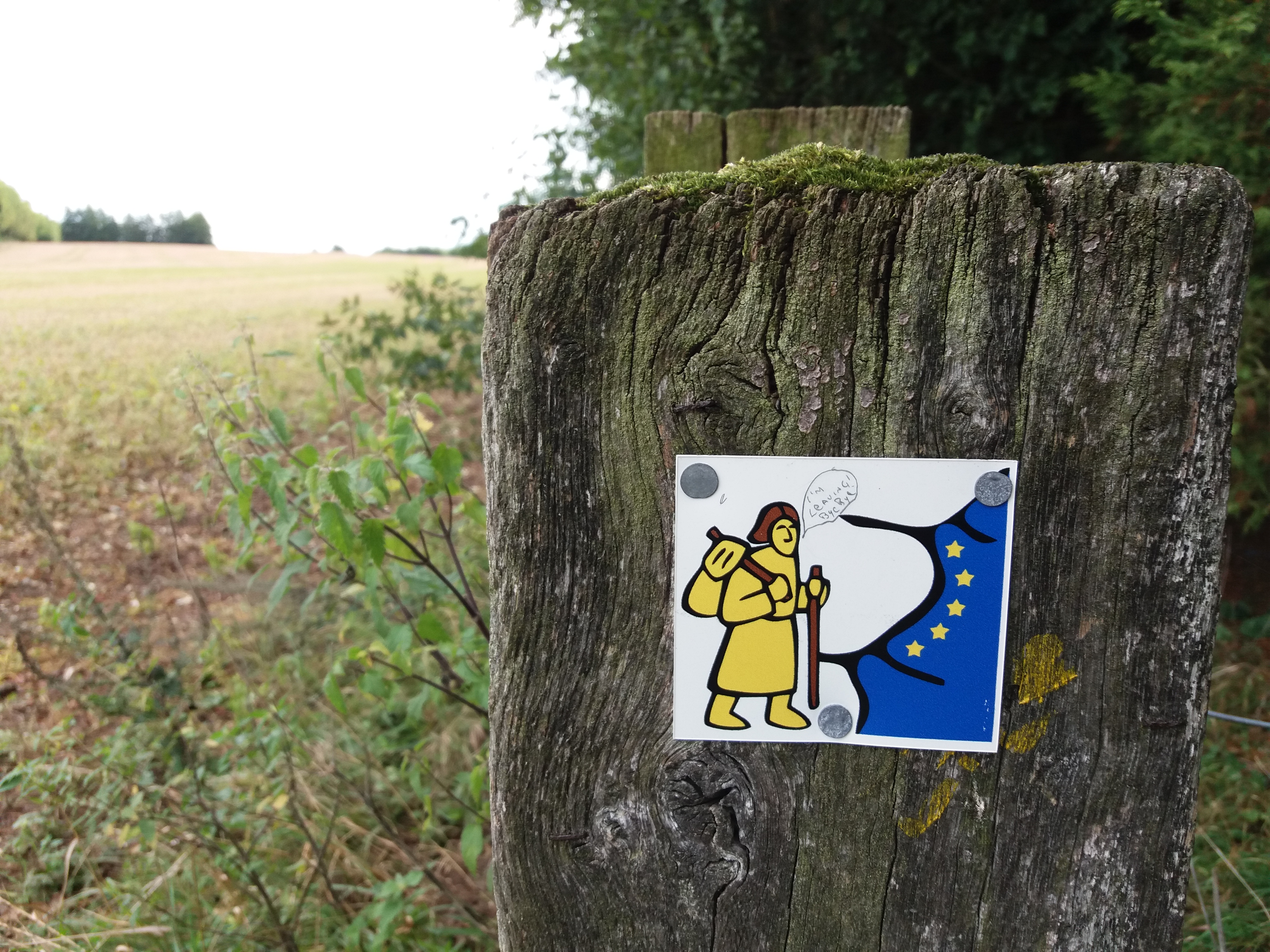
One of the big problems with hiking around Brighton is that it’s boring. The land here is arranged in strips. You have the sea which takes up 180 degrees. Then there is the prom, which is a nice walk, but I’ve done it literally a million times. Beyond that there is a strip of town, and it’s hard to get out to the country without trudging through it. Then you have the downs, which is a truly beautiful area, but there are certain east-west paths which tend to dominate. On the other side is the weald, which is full of interesting walks, but you’ve tracked about 5 miles to get there.

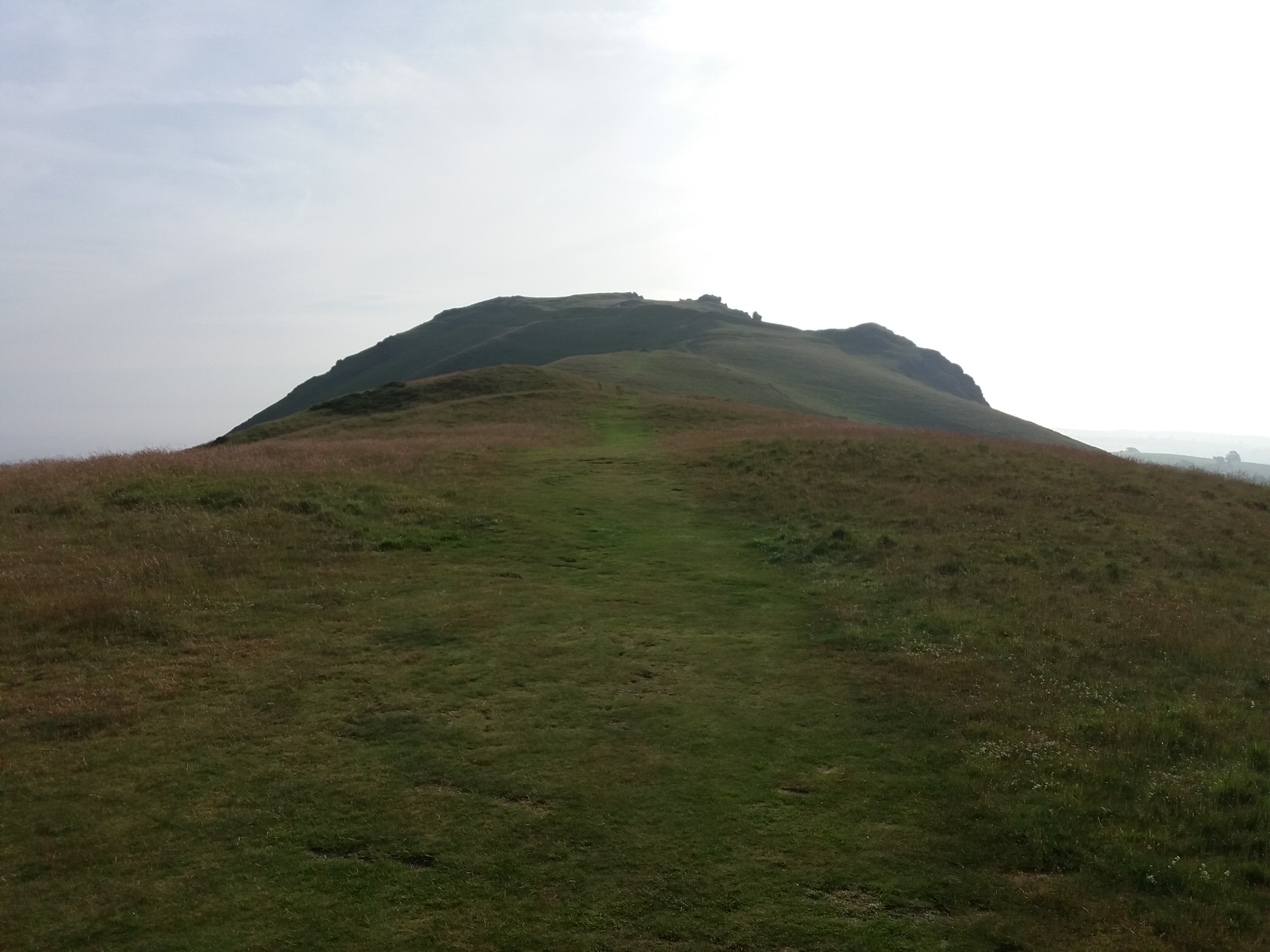
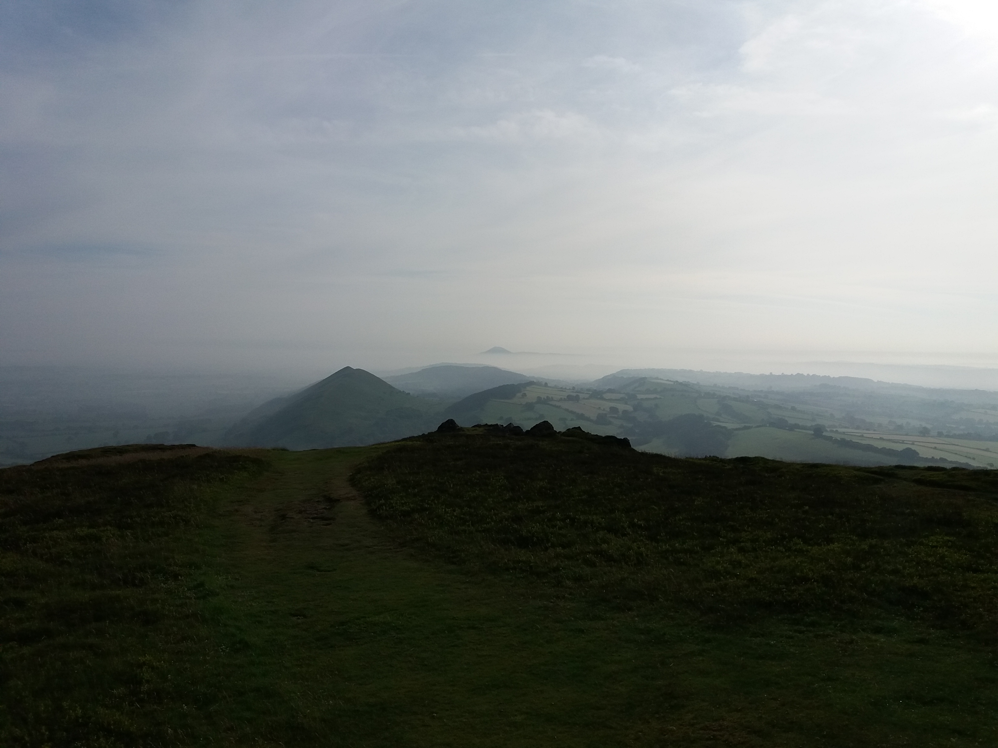
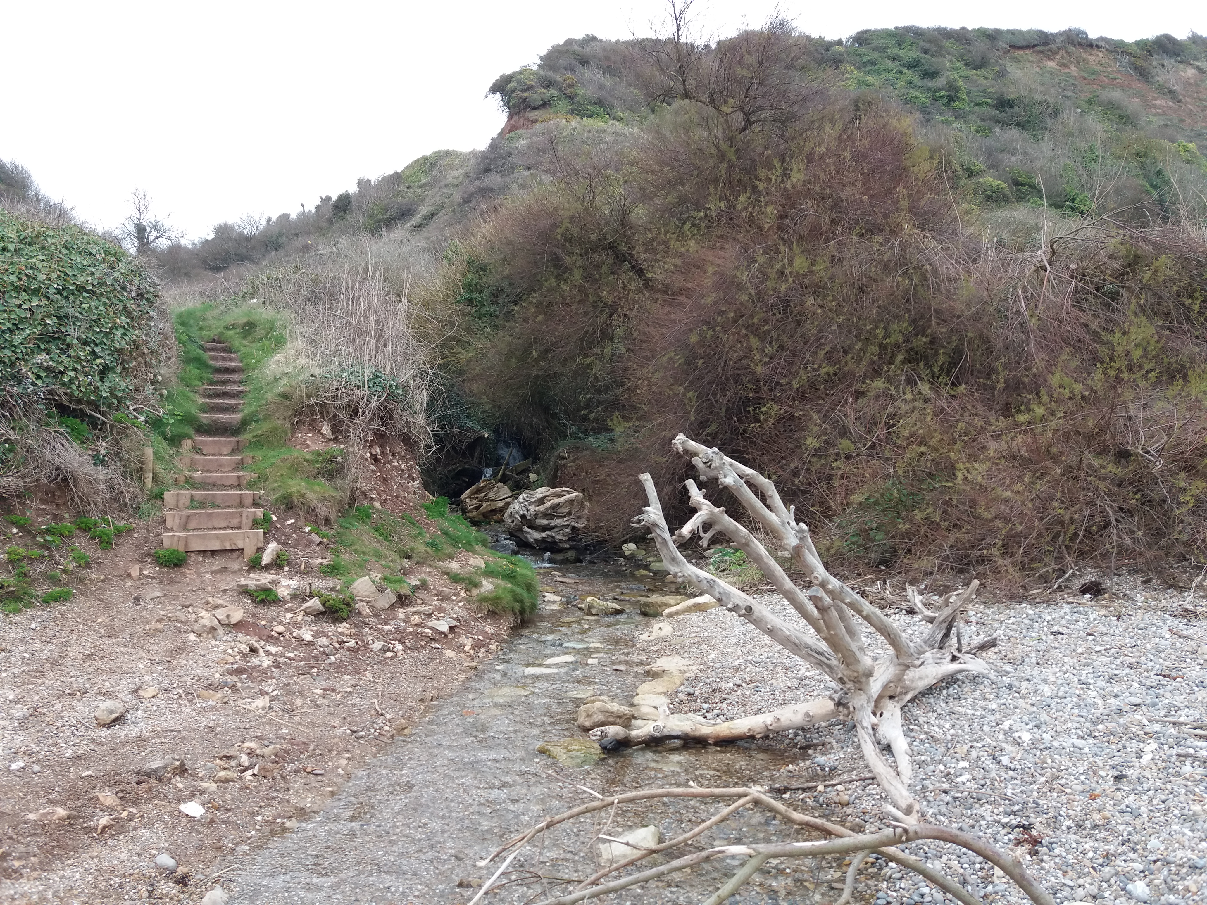
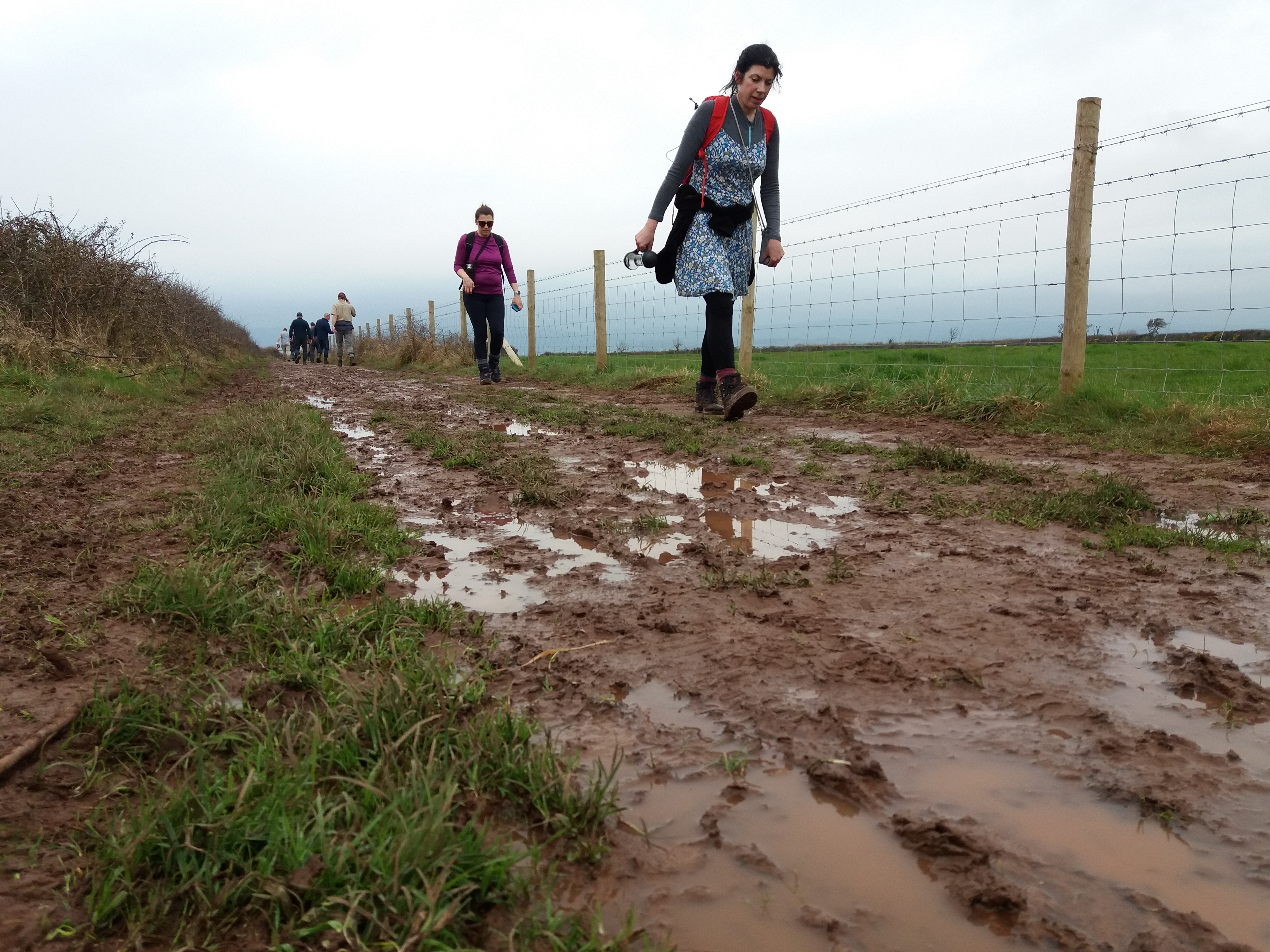
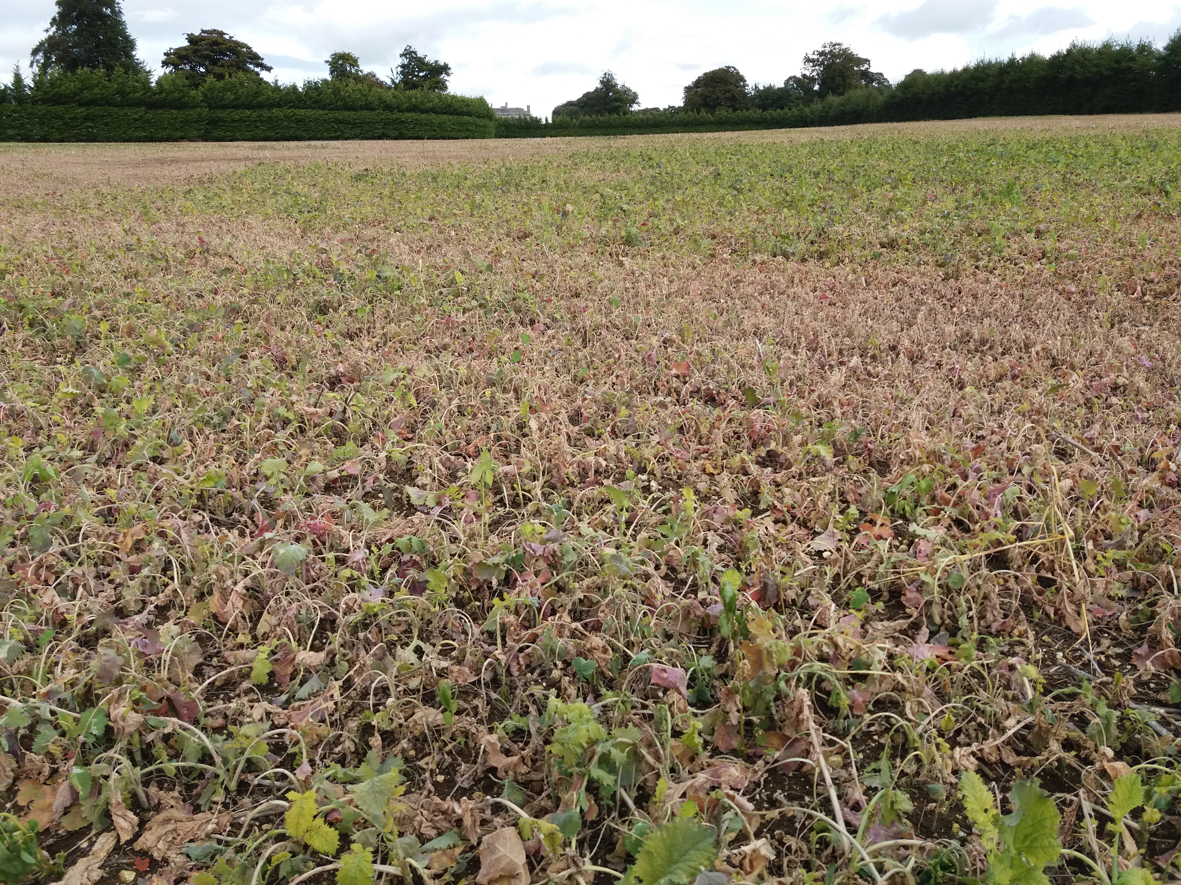
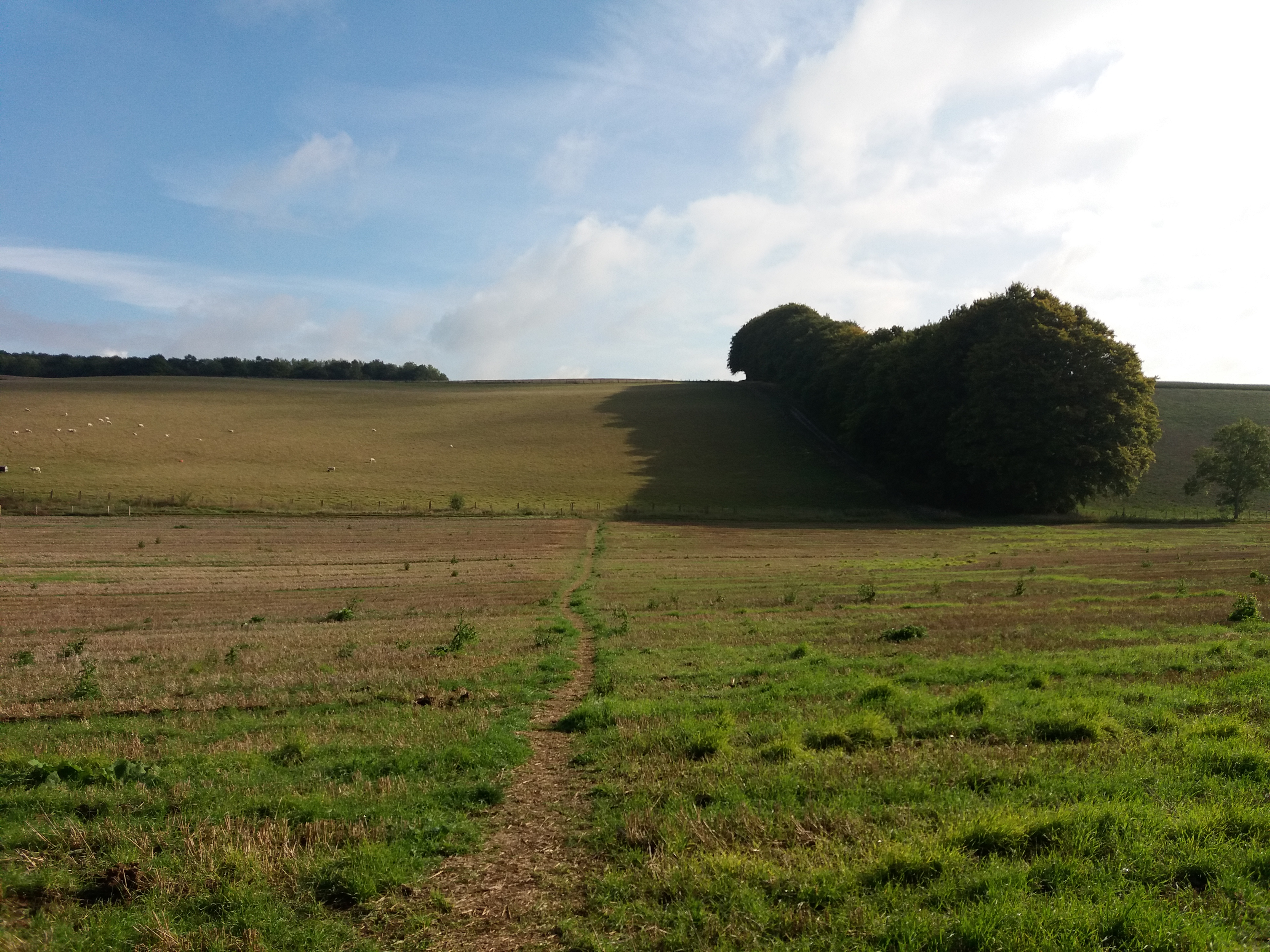
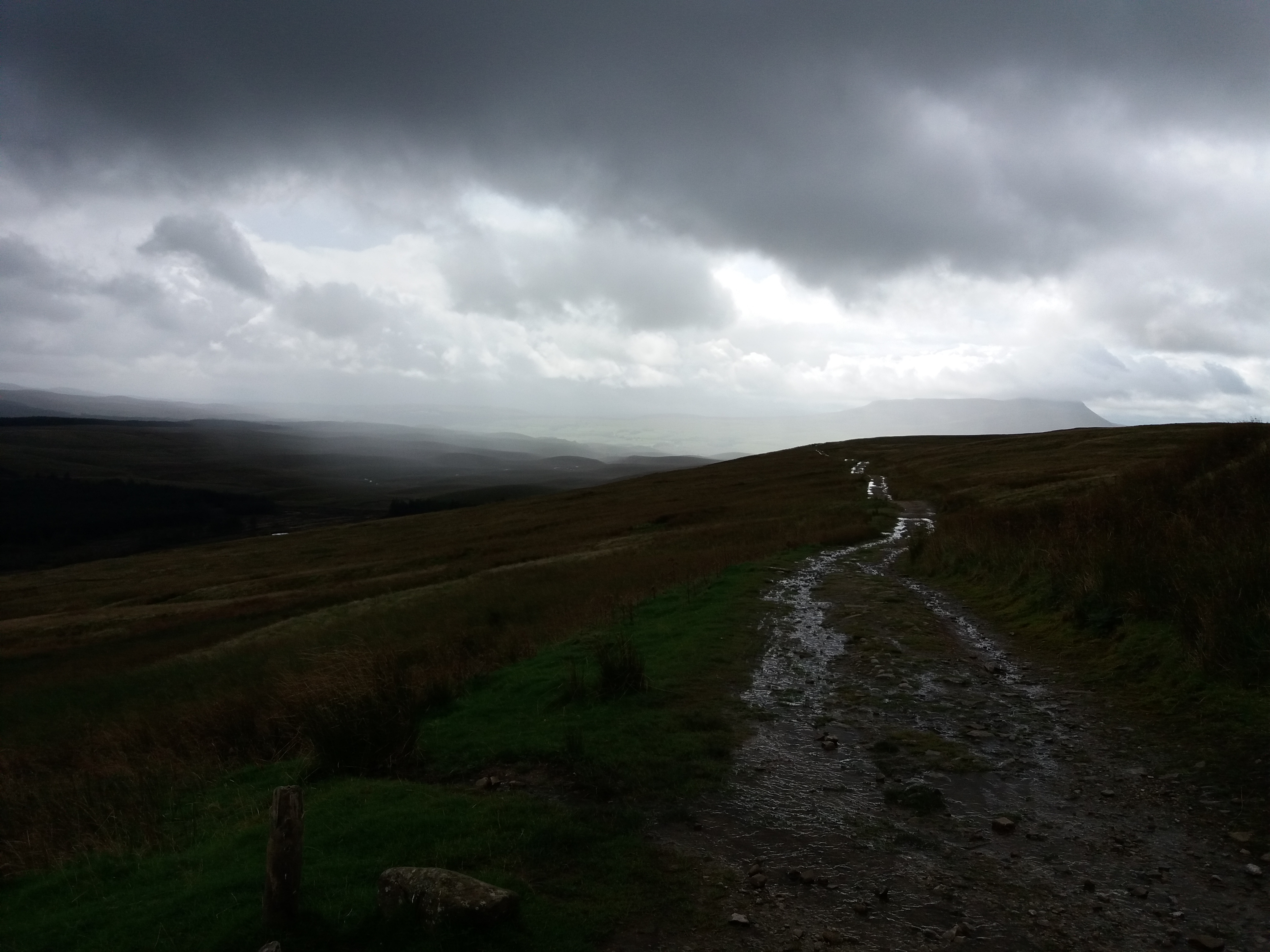
Any interesting diversion on these paths is welcome. I was coming from Ditchling Beacon and trying to find my way to Falmer campus, and wanted to get my walk over as quickly as possible. I’d walked from Patcham to the Chattri at the start of the day, taking an Uber to reach Patcham, as the walk the the bottom of the downs was so boring.

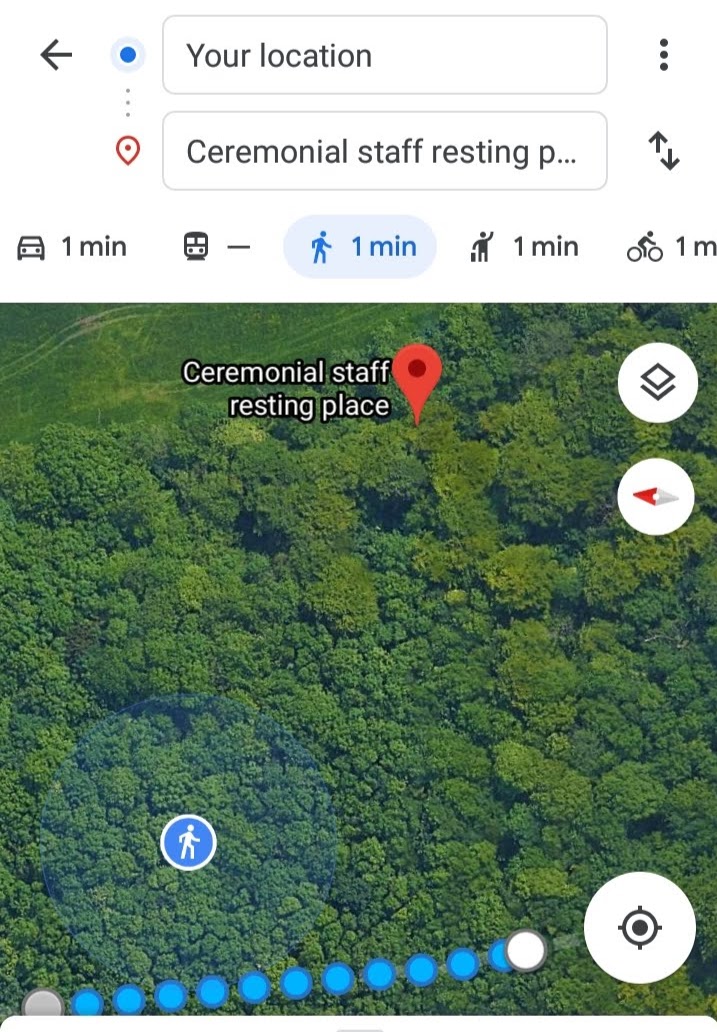
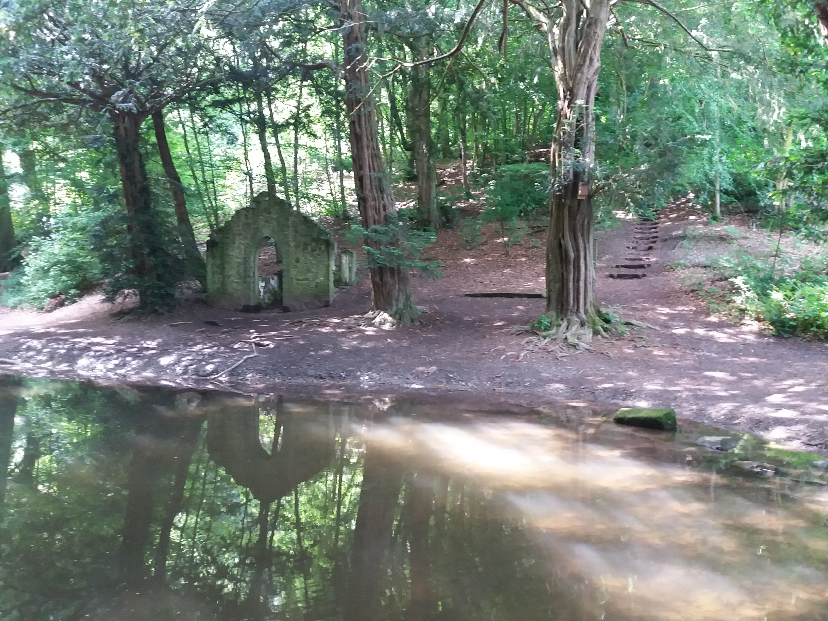
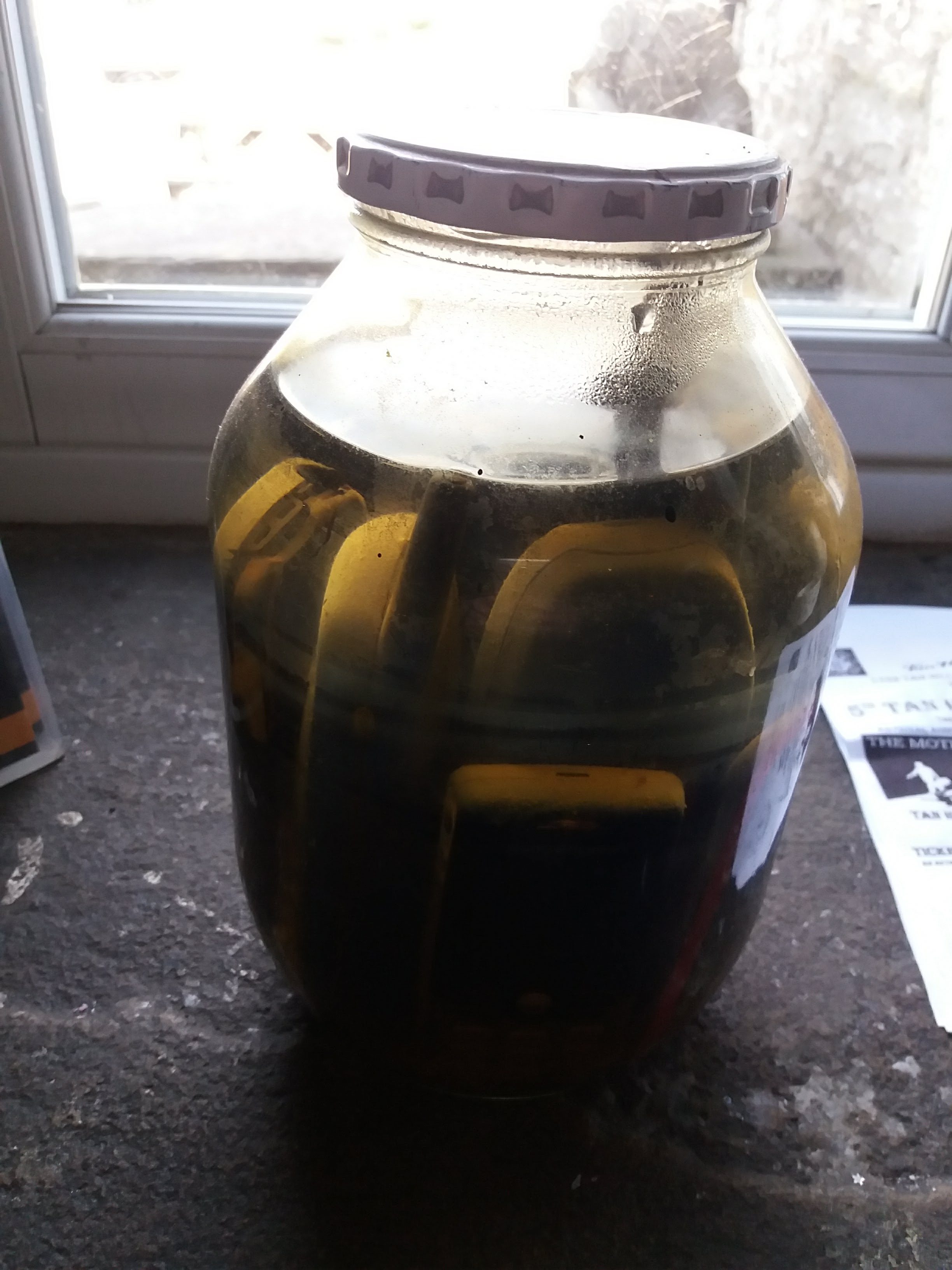
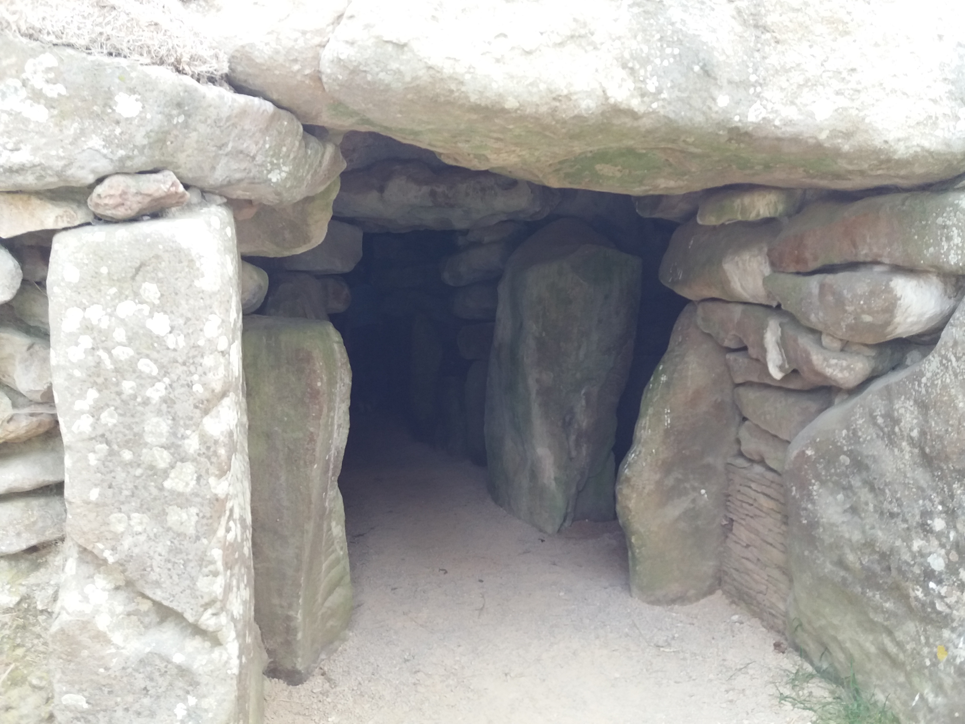
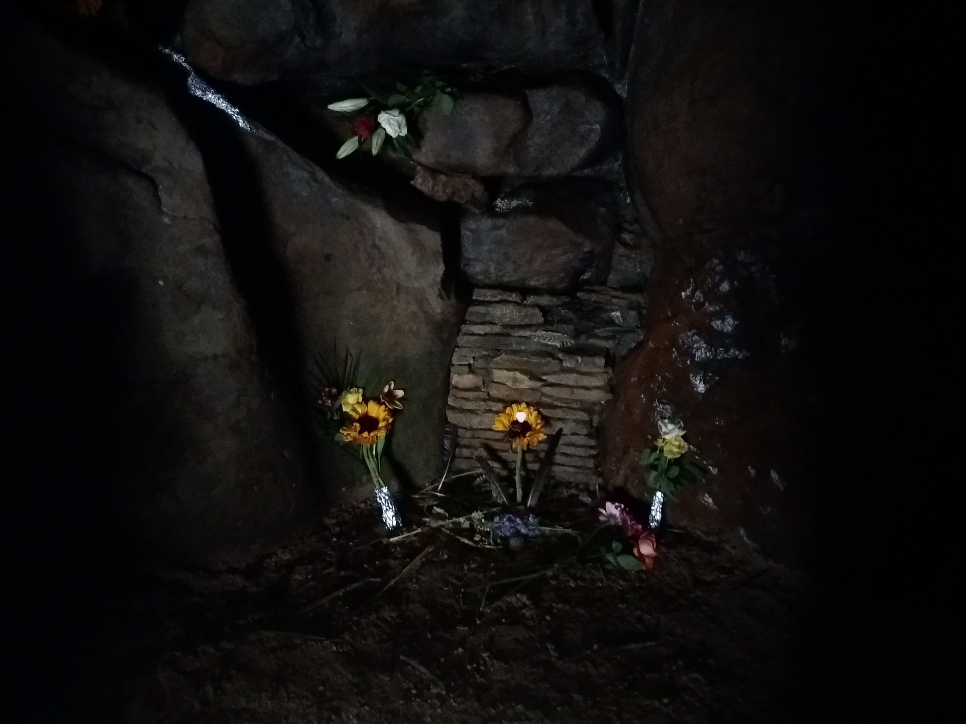
I was using google maps to find a direct path when I saw something interesting. On the map was listed a ‘Ceremonial Staff Resting Place’. The google maps marker was placed somewhere in the midst of a set of trees on a steep slope.

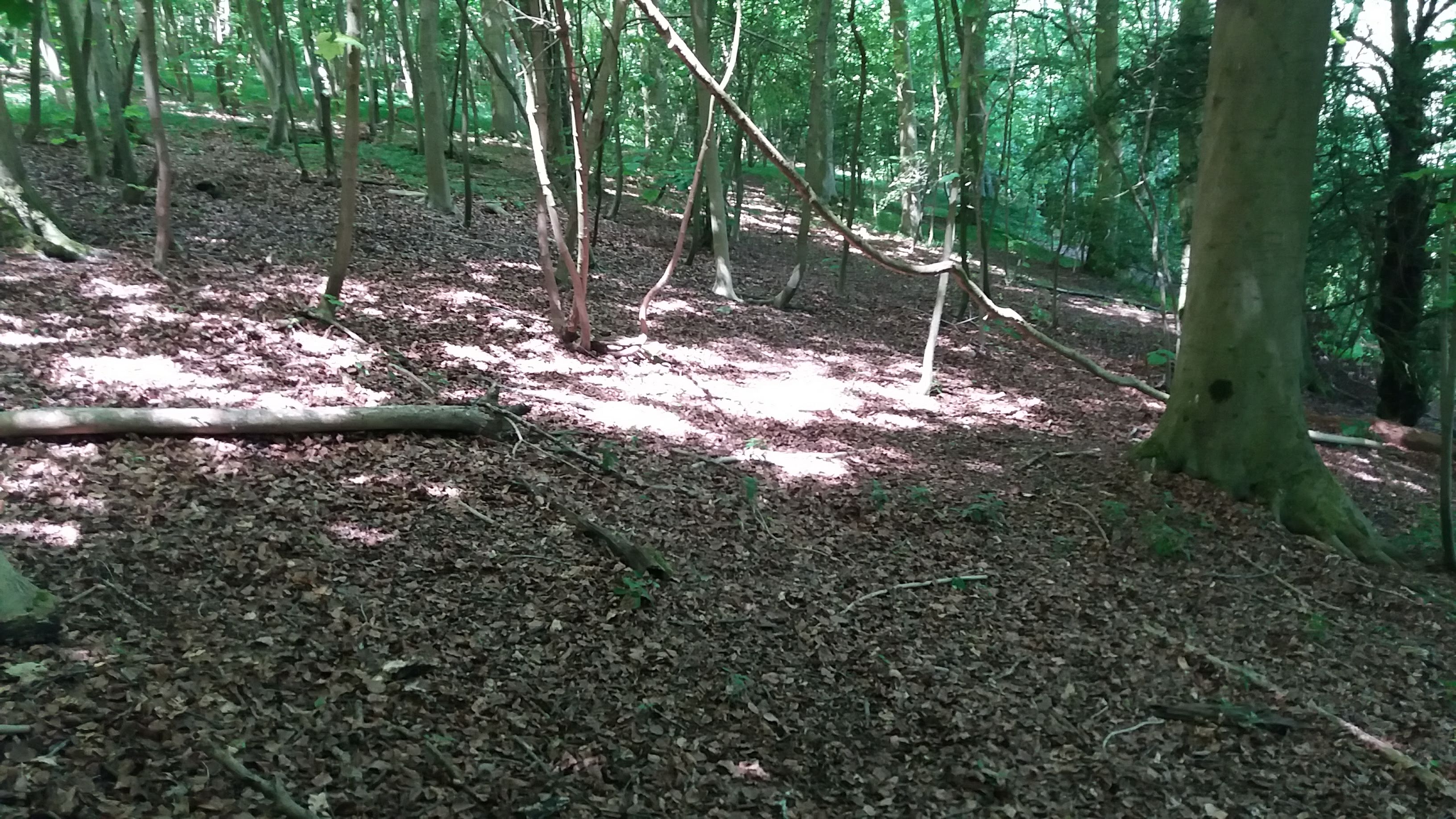
I know mobile phone GPS can be somewhat unreliable in the middle of nowhere, but I walked back and forth on the wooded hillside for a while, seeking some indication of what this marker might be for. I couldn’t find it, and after twenty minutes of searching had to give up.

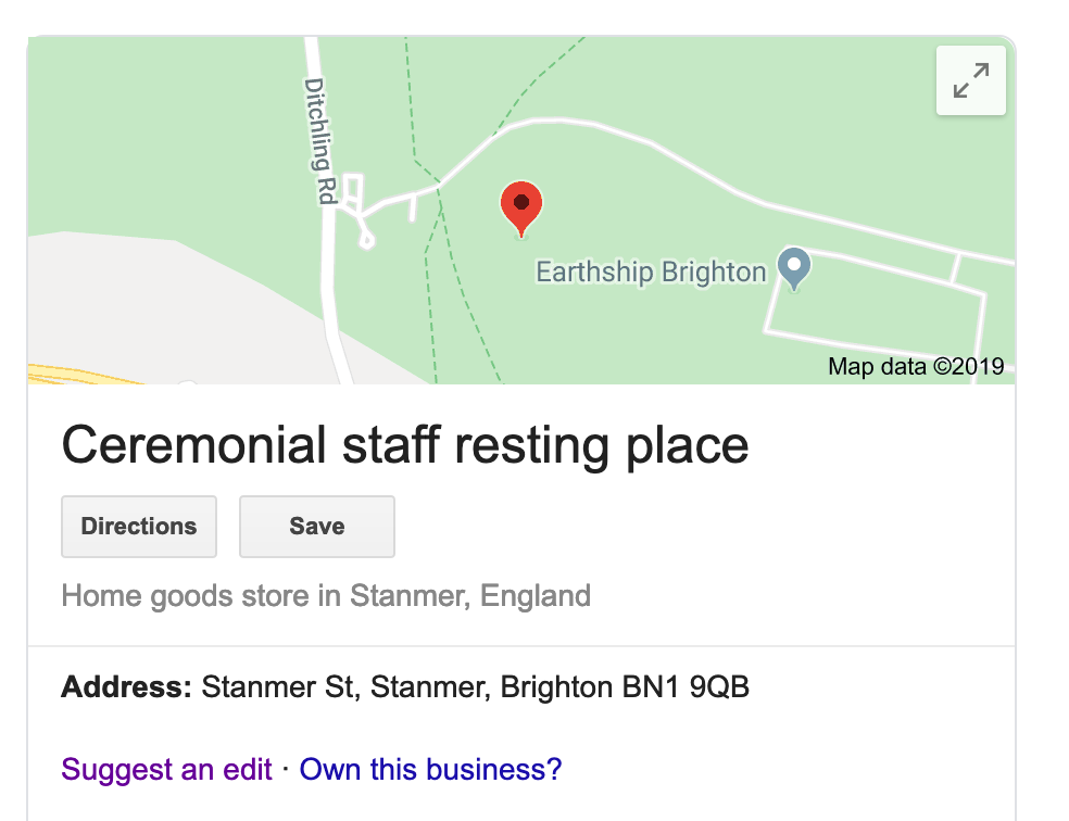
It’s still listed on google maps, under the category “Home goods store.” I love how, even with electronic maps, there are still mysteries. Does anyone know what this might be?

A photo of the area near the ceremonial staff resting place.

A Walk in Shropshire

One of the great things about hiking is discovering how many beautiful places there are in England. A couple of weeks ago I went up to Shropshire for a weekend of hiking near the Long Mynd. Sadly my plans were interrupted by a migraine. I couldn’t start the main walk, and arranged to join my friends half way.

I set out to meet them at Pole Bank, and took the wrong direction. The rendezvous was ontop a ridge, with various valleys etched on the edges. I picked the wrong valley, striking north-east rather than north.I should probably have taken a map, as the combination of a photographed section of OS and smartphone was not enough.

Climbing the hill I was weak too, barely able to breathe. I was an hour from the rendezvous, lost on a golf course and realised I was going to have to turn back. This was the first time I’ve had to give up on a walk, and I was disappointed. I’m used to planning over-ambitious walks then managing them. Giving up half way was not easy but it was the right thing to do. At least mobile phones meant I could let everyone know what was happening.

I did manage a couple of smaller walks, the first an afternoon stroll up Carding Mill Valley. And the following day, early in the morning, we drove a short way along Watling Street North to climb Caer Caradoc. We had thirty minutes to ascend before turning back for home – we still needed to check out of the airbnb.

I managed the climb and was rewarded with some amazing views of the local area. It made up for my failure on the earlier walk. The hill was meant to be the site of Caractacus’ last stand against the Roman invasion. There was supposed to be a cave near the summit, but we couldn’t find it. According to legend, the cave can only be found at dawn, so maybe we’d arrived too late for that.

We also tried out the local curry house, and Church Stretton’s Jaipur Lounge was excellent.

Adventures on the South-West Coastal Path

I’ve heard the South West Coastal Path being compared to Everest. Which is a bold comparison, but it’s one that the official website makes too. Over the path’s 630 mile distance, it manages a total ascent of 35,000 meters, which is almost four times the height of the world’s highest mountain. But, the website boasts, the SWCP is even better as “completing the 630 miles will see you cross 230 bridges, catch 13 ferries, open (and close!) 880 gates, climb over 436 stiles”. There are no ferries on Everest.

Back in March we walked a small section of the path, from Exmouth to Beer. This is a long way from home in Sussex – I’d originally suggested walking a section from Dorset, but something was lost in translation, and we ended up walking a section in Devon.

The main impression of the SWCP is hills. There are slow climbs up long soaring cliff-sides, before dropping down to sea level once more. On the second day there was a race from Exmouth to Seaton, which looked amazing and made me very sad that I can’t run these days.

Two other impressions from the walk: a lack of coffee and far too much mud.


The Tan Hill Inn

You know those inns in fantasy novels? The ones with a blazing fire, where travellers discuss their journeys and their lives? Most pubs I’ve visited don’t come close. The only place I’ve had that experience is the Tan Hill Inn, the highest pub in the UK.

The Tan Hill is a decent walk or drive from the nearest town, and famed for being isolated. It has its own snowplough and generator; in March 2013, visitors were stuck there for five days. The pub has survived for centuries as a refuge and is a well-placed stop on the Pennine Way.

Before going, my mental image of the place was the Slaughtered Lamb in the movie American Werewolf in London. Indeed it had been used in a Vodafone advert, with the pub sign from this standing in the corner of the bar. We arrived to a blazing fire, which someone told me was kept going at all times.

In the dining room that night, people gathered. As people played music next door, we talked about about our journeys, what we’d seen and plans for future walks. A couple, a man from Essex woman and his fiancee from Riga, had dropped by and ended up deciding to hold their wedding at the pub. The talk went between tables, as did the dogs. We discussed walking the Pennine Way North to South, running out of water in the Cheviots, and hiking injuries.

In the bedroom was a book called The Ascent of Everest. It seemed appropriate for an Inn with so many hikers. But, flicking through the book I found it was about a different Everest to the one I expected.

Sunset was beautiful – from the window of my room I could see only a couple of lights. Indeed, on the next day’s hike, it was most of the day before the ridge where the pub sits dropped out of sight.

Panorama from Tan Hill – click to expand

For me, one of the best points in hiking is the brief conversations with other travellers – where are they from, where did they set out from, what have they seen on their way. As we get further north on the Pennine way, accommodation becomes rarer, and the hikers cluster more. There’s something fantastic about drinking a pint with people you’d never meet anywhere other than the country’s highest pub.

Final Day on the Ridgeway

I’ve walked three complete trails this year: North Downs, Limestone and Ridgeway. In each of these cases, the ending of the trail has been a strange experience. Given all the work that goes into promoting and maintaining these routes, I’m surprised more thought doesn’t go into the ends.

Walking the Ridgeway against the grain, from Aylesbury to Avebury, meant a more exciting destination, but a less impressive final stage. Much of day five was open countryside and tame scenery – but it was good to spend a night in Avebury, a short distance from the stone circle.

The final day began with a boring stretch of roadway. The weather was cloudy which was a relief after four days of harsh sun.

As usual there were strange sights along the way. The sign on the tree shown below read “Christmas is the warm, happy ending to our family’s story each year”

The endings of these hikes often feel odd. You’ve achieved something, but often the only marker of the trail’s end is a signpost pointing in only one direction

Avebury is a fascinating place to visit, with some incredible ancient sites. As it was mid-Summer, the hill up to Kennet Long-Barrow was covered in golden corn. I somehow missed this the last time I came to Avebury, so it was good to explore.

I think it’s a shame we’re no longer allowed to climb Silbury Hill. Who are we saving it for?

As it was just after the solstice, Avebury had been visited by people on the way back from Stonehenge. The Red Lion pub, inside the stone circle, was surrounded by fences. Security guards kept watch. I learned these were not designed to keep hippies out, but to keep everyone safe from stumbling into the road.

Avebury is a great place to explore. Putting your head against these stones, you can feel the energy thrumming through them.

In the local Avebury shop there is a binder with pictures of the year’s crop circles.

After a couple of hours exploring, we took buses and trains to make our way back to Brighton, just in time to set off on my next hike with Katharine and Romi. The Ridgeway was a fun trail to explore. The route followed did have the feeling of one followed in ancient times.

The End of the North Downs Way

The final hike on the North Down’s Way was far more interesting than yesterday’s dull section. But, sadly, the trail’s end in Dover is a bit of fiasco.

I’ve been walking this route with Katharine and Romi since January, inspired by the section of it at the start of the Downs Link path. We continued in FebruaryApril and June before finishing this weekend. While weekend walks are easier to schedule than complete hikes, they are hard work. There is a lot of car shuffling and I miss being able to just walk from a B&B onto the trail.

At the start of the walk, it looked like it was going to another trudge through empty fields.

Soon we found ourself walking through some cornfields, which was much more exciting. The sky was cloudy, but the day was warm and dry.

I decided not to use the gate here. Romi claims that this means I didn’t complete the actual North Downs Way.

In this field a cow stood on the path. Katharine and I have had some bad experiences in cattle fields. These cows were quite calm, although passing through was tense.

Just like yesterday, one of the road names appeared to be a metafictional comment on the walk. Five miles to go!

Can you see where the signpost is in the scene below? It took us a while. I’m not sure how many people actual walk the North Downs Way. We met very few people, and some parts of the trail were hard to follow.

On the last few hundred yards, the North Downs Way takes in this scenic car park. Dover is a discordant note at the end of the trail – it’s not a pleasant place to visit.

The end of the trail is almost as bad as the Limestone Way, which concluded with just a one-armed signpost. He we reached the end point in Market Square to find no mention of the trail. We had to google the Rambling Man website to find out that the trail end had moved to the seafront.

We found it in the end, and ate salted caramel icecream on the seashore. Then we had coffee and drove home.

It took a couple of hours to drive home. Along the M25 I passed a section of the walk from February. I’ve enjoyed the project of walking this trail over the last nine months. The question is: what next?

A flat day on the North Downs Way

Every trail tells a story, a sort of narrative. This story depends on the weather, the company, the time of year. It depends on the people you encounter, some of whom share stories about their own journeys on the trail; or about the people ahead of you, who they’ve already met.

Walking the North Downs Way from Chilham to Shepherdwell is not a particularly interesting story.

All trails have sections that are marking time. Sometimes this is forced by roads, other times it’s unavoidable, the dull bits between great views. This section of the North Downs way was a flat and wearisome walk from Canterbury towards Dover.

We started walking the North Downs Way in January, doing a stage every month or two. This weekend is our fifth one on the path, where we will be completing the main part of the route.

The start was promising. The weather was good and the day warm. We passed through a churchyard with a 1300 year old yew tree, killed by falling trees during 1987’s Great Storm.

We passed through orchards full of fat apples where there may have been some scrumping (but not from me). According to Rambling Man, the fruit farm we crossed is the largest in the UK. I was moved to see a grave placed among the trees.

But this section of the walk suffered from missing signs. Even the guidebook didn’t help much, as we kept being sent in the wrong direction. One sign we did find was a road name one doesn’t want to when hiking.

Some of the fields might have been quite interesting to walk if they had crops. Instead we crossed empty flat landscapes, nothing beyond the fields but more flat countryside. Some of the maps were mostly white space.

The middle of our day’s walk took us through Canterbury, where the signs dried up completely. It did allow me a chance to look through some bookshops, but I couldn’t see anything worth carrying for ten miles.

It felt a little strange to have our hike take us through the Saturday afternoon shopping crowds.

We passed through an area or cornfields, pheasants and keep-out signs.

The rest of the day we hardly saw anyone. This is one of the strangest things about the hikes, how few people take advantage of the routes.

Near the end, a pile of litter.

It was well Brexit.

Bad weather or inappropriate clothing?

I have no idea who first said that ‘there is no such thing as bad weather, only inappropriate clothing’. A quick google search suggests Ranulph Fiennes, Alfred Wainwright or Billy Connolly as candidates. I’m going to add myself to this list: there is no such thing as bad weather, only inappropriate clothing.

Day three of my last stint on the Pennine Way was a drag. We were about halfway through when it started to rain. We’d just stopped for lunch and were sure it was going to pass; and putting on the waterproofs seemed like a hassle. The Rambling man website describes this well:

When you’re out in the countryside and the heavens open the last thing you want to do to is undo your boot laces, remove your footwear and struggle into the trousers, then put your boots back on again, often whilst desperately trying not to fall over into the large pile of mud that you suddenly realise is right behind you.

So we set off without waterproof trousers. It turns out that these are a really good idea in the rain. We squelched our way up Pen-y-ghent and trudged our way down again. It was not pleasant. Reaching the Penyghent Cafe was a relief. Few drinks have felt as good as that pint of hot chocolate.

We put our names in the hiker’s register that the cafe has kept for years, which now stretches to multiple volumes. We also heard the tale of a couple of cyclists who that very day had quit their Land’s End to John-o-Groats ride, spirits broken by the headwinds.

I am unsympathetic. If you’re planning a huge cycle ride in September you need to consider the weather. You don’t discover it’s difficult halfway and then give up. If they were doing this for charity, I hope the sponsored organisation tracks them down, and lets them know how many orphans their failure will force to go hungry.

I’d wore what Amazon described as a “Waterproof US Army Hooded Rain Poncho”. If this is indeed US military style, it explains why the US military has recently fought in hot, dry countries. It didn’t keep me very dry.

Day four, the sound of rain woke us in the night. Lesser souls might have given up at Horton-in-Ribblesdale. Not us. I layered up: long johns under my trousers, waterproofs on top of them. I borrowed a jacket to keep my top dry. And it worked – despite worse weather than the day before, worse than I’d ever seen in my life, maybe, I stayed dry. Water didn’t run down our legs, which meant it didn’t pool in our boots.

It turns out that there is no such thing as bad weather in the right clothes. And before the next walk I will buy some better trousers, ones I can put on when it starts to rain.

Too lazy for amazing things

Time after time, I run into this same problem. It’s mid-afternoon and I’m somewhere amazing; any other day I’d kill to be there. It might even be somewhere I’m unlikely to return to. But I’m worn out and can’t summon the energy to explore further.

This happens to me a lot when I’m being a tourist. I spend the morning seeing a place’s main sites; by the afternoon I’ve had enough of beauty, and desire rest more than amazement. (A friend told me that students at the Sorbonne are told to spend no more than two hours at a time in the Louvre to avoid this sort of problem).

The most recent time I dodged something wonderful was when walking the Ridgeway. For me, one of the route’s highlights was the Uffington horse. We arrived there late on a long, hot afternoon. I could have spent hours exploring the landscape – if I’d not been walking all day. Instead I had a quick look at the horse, took some photos, then we carried on walking.

(See that flat-topped hill with a chalky patch? No grass grows there because it’s where at George killed the dragon. Allegedly)

The problem with travel and hiking is that they’re tiring. Yesterday’s trip on the Pennine way was hard work. We saw some amazing landscapes and some odd places, but my pack was a little too heavy.

We’d also been dodging rain all day. There was a shower times just before we left the canal and could hide under a bridge. Long rainy spells came and went as we lazed about in Gargrave’s excellent Dalesman café.

We arrived in Malham tired and damp. I knew that Gordale Scar was about three miles away, but that seemed too much for two weary hikers. As we checked into our home for the night, I asked whether it really was worth the extra walk just to see another amazing view, particularly after a day of them. We were told it was.

I pointed out that the weather looked shifty – was this worth seeing in the rain? We were told it was especially worth seeing in the rain. So somehow we summoned the energy for a last few miles’ walk. The initial omens were good:

We passed Janet’s Foss, said to be the home of a fairy queen. Pretty nice.

Finally we walked along a small ravine. Pleasant.

And then we turned the corner. The photo doesn’t quite do justice to the scale of the looming rocks and the sound of the water. Sheep ate grass at the very edges of the drops. We’d seen some great views but this was the best of the day.

On the way back, we found rotting fallen trees into which people had hammered copper coins.

This reminded me of something similar in Kathmandu – a block of wood which people nailed coins to. According to the guidebook, it was to ward off toothache.

I don’t always summon the energy to go exploring and that’s a shame. Sometimes it really pays off.

On poor planning and a fantastic train station

​When I go on holiday, I tend to plan the whole thing in detail – maybe too much detail. My hiking plans tend to be looser. I book the places to stay in advance, but the rest is an undignified scramble.

Sometimes, like my trip to the devil’s punchbowl, this works out well. Others, like not buying walking boots for the South Downs Way, can be more painful. And I always end up carrying a heavy pack with too much food. I’ve got a bag of nuts with me on the Pennine way that I’ve walked 200 miles with, simply because I never check ahead and see there are more than enough places to buy hot food on the way.

Books on hiking recommend some practice hikes to get an idea of how far you can walk. I initially based my distances on accounts of WW2 POWs. I mean, if they could walk 16-20 miles a day after years of malnourishment, I could follow the twenty mile a day schedule in the south downs way book.

Most of my planning goes on clearing the decks so I can disappear for a few days. I’d planned to buy waterproofs and a new rucksack before the next Pennine way stage. Instead I squandered the preparation time writing work emails. I was quite lucky on my first Pennine way sections as I read the Rambling Man guide beforehand and realised it was a slightly more challenging path than the ones in Sussex. I bought maps, although not proper waterproofs. And then, the night before setting off, I realised I’d not packed suitable trousers, and had to drive to a 24 tescos megastore.

As my current walk approached I found myself rushing through a to-do list. I wonder if I should maybe take my laptop or not go at all. I had a horrendous drive up the M1 the night before, and the drive to Hawes was grim – my car started bleeding in a service station car park.

But the stress soon vanishes. For me it was when I found myself at Garsdale station. It wasn’t just the amazing setting:

No, the station had a cosy waiting room. And, to make it even better, a complete set of the Encyclopedia Brittannica.

I read the entry on Varanasi. “The sacred city is bounded by a road known as Panchakosi; every devout Hindi hopes to walk this road”. While I’m not religious, this is the hike I’d most like to do.

Another great thing about Garsdale station was the statue of a dog. Ruswarp was the mascot of the campaign to keep this station, and had even legally signed the petition, the pawprint accepted since he was a paying customer. 

Ruswarp’s companion Graham Nuttall died in a mountaineering accident in 1990. Ruswarp stayed with his body for eleven weeks in the depths of winter. The world would be a better place if there were more statues of doggos and fewer of generals.

While I was in the waiting room, someone on the other platform called to me. They said that, in six minutes time, a lumber train would be coming through from Wales. I came out to see it, pressed myself against the wall as the train hurtled through.

As the air filled with the scent of timber, I wondered what type of trees these were. I daydreamed about changing careers, to become an FBI agent investigating crimes in quiet places like this. Life is good.