Bad weather or inappropriate clothing?

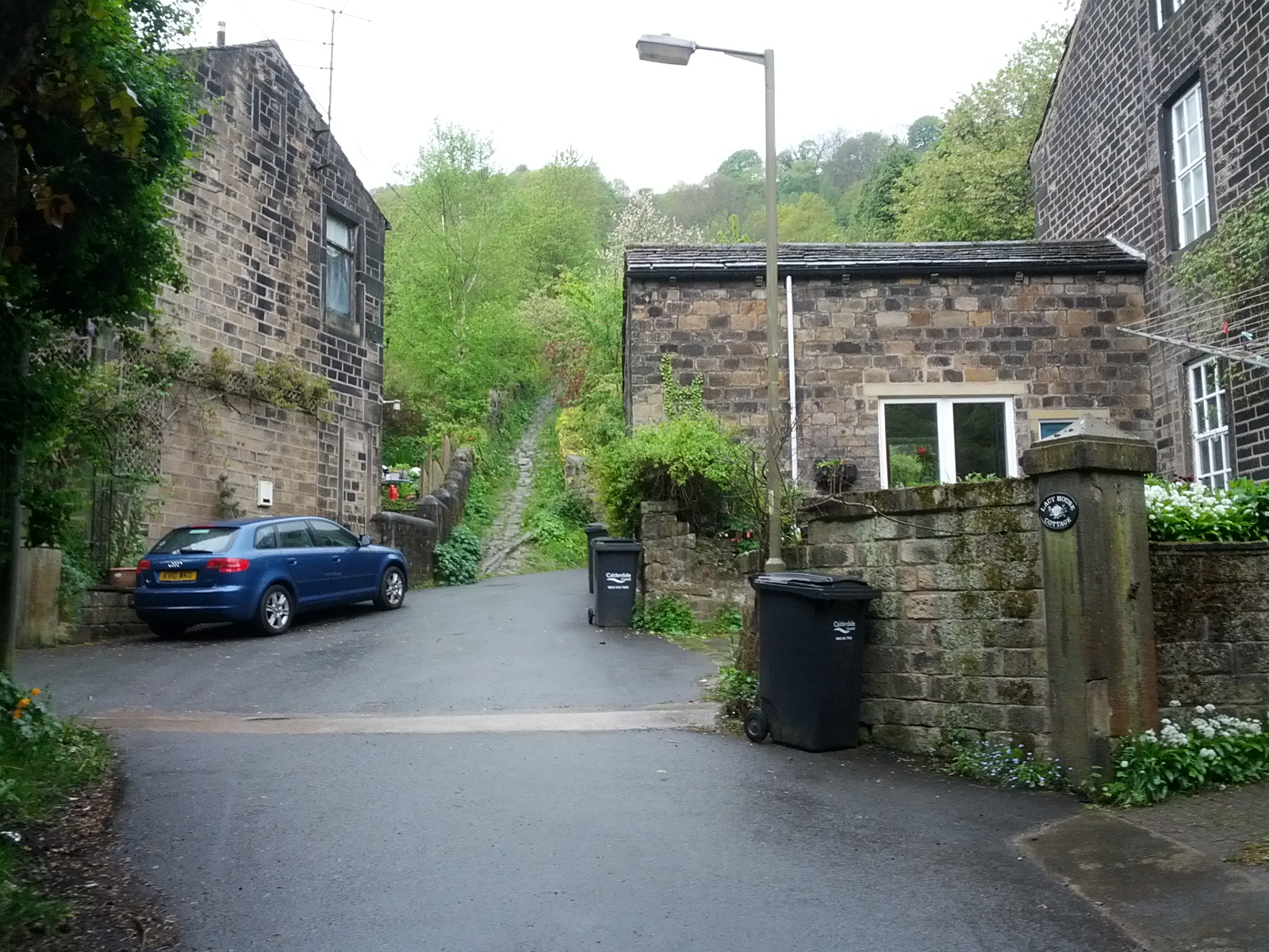
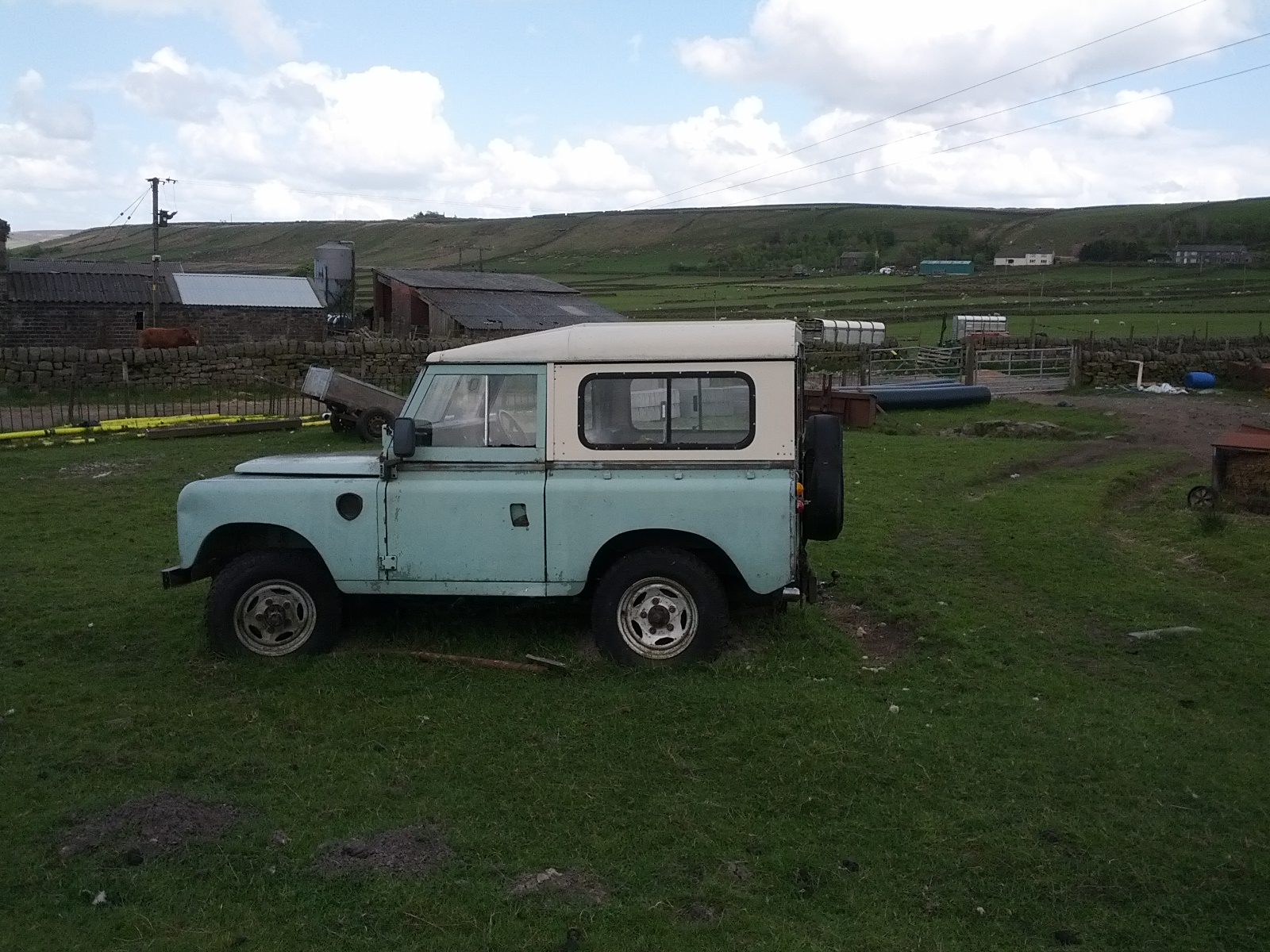
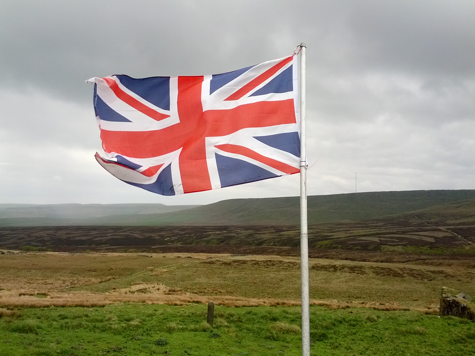
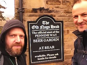
I have no idea who first said that ‘there is no such thing as bad weather, only inappropriate clothing’. A quick google search suggests Ranulph Fiennes, Alfred Wainwright or Billy Connolly as candidates. I’m going to add myself to this list: there is no such thing as bad weather, only inappropriate clothing.

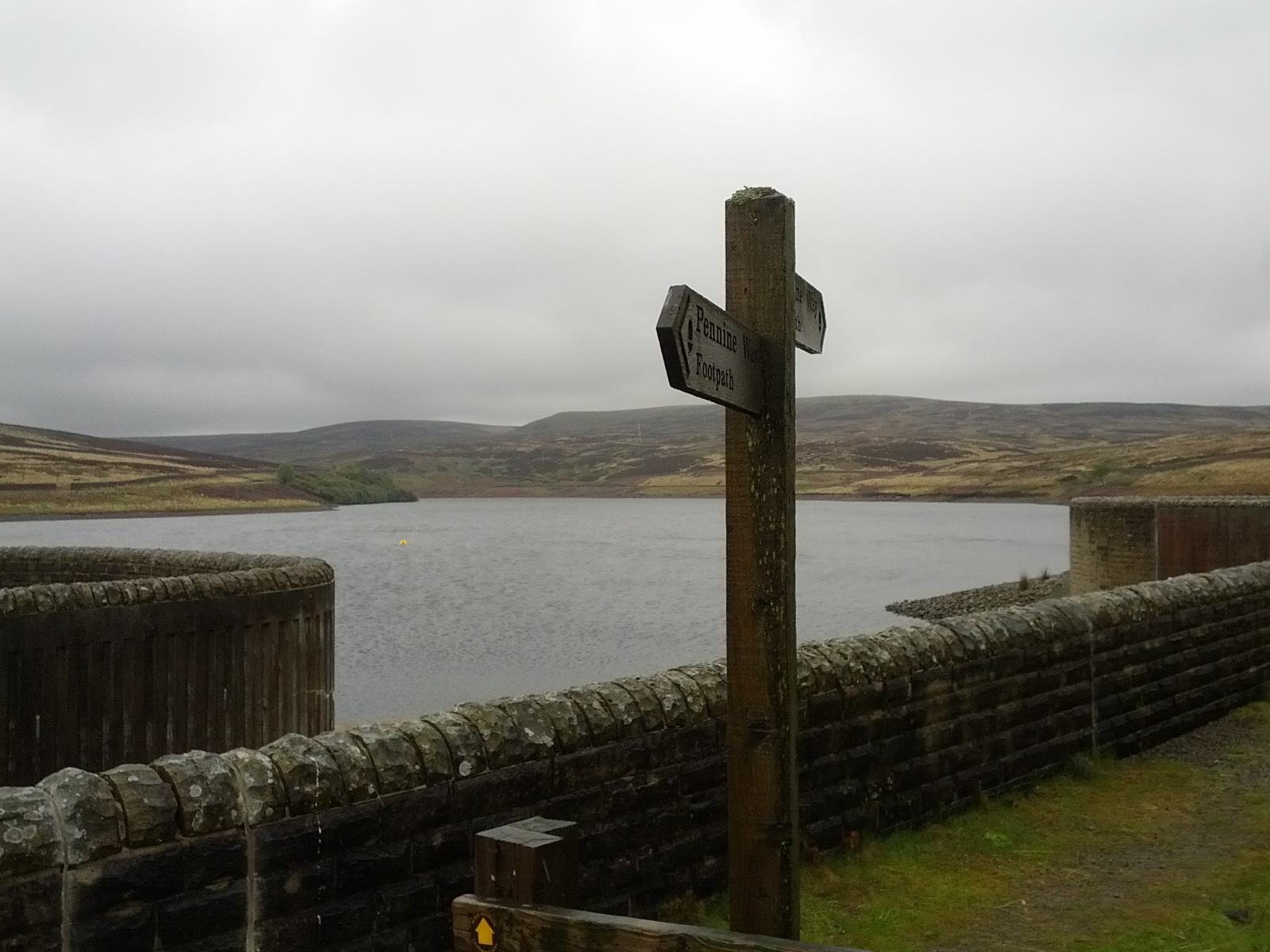
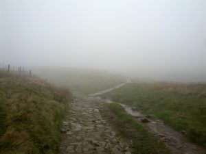
Day three of my last stint on the Pennine Way was a drag. We were about halfway through when it started to rain. We’d just stopped for lunch and were sure it was going to pass; and putting on the waterproofs seemed like a hassle. The Rambling man website describes this well:

When you’re out in the countryside and the heavens open the last thing you want to do to is undo your boot laces, remove your footwear and struggle into the trousers, then put your boots back on again, often whilst desperately trying not to fall over into the large pile of mud that you suddenly realise is right behind you.

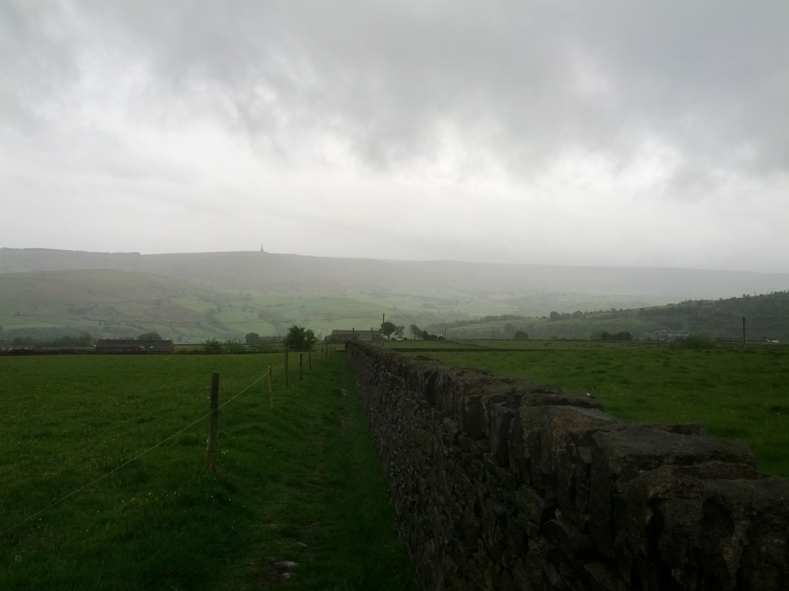
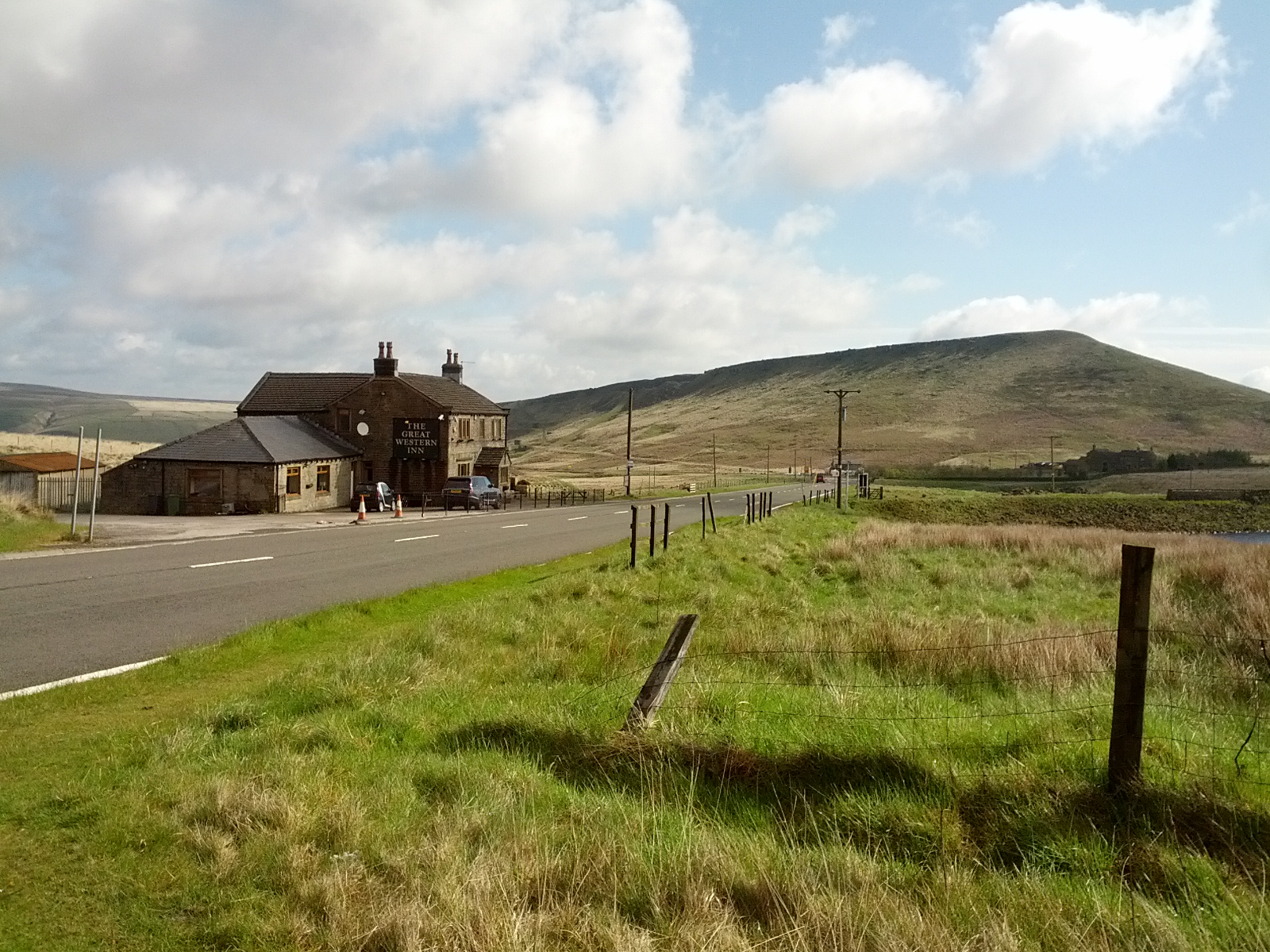
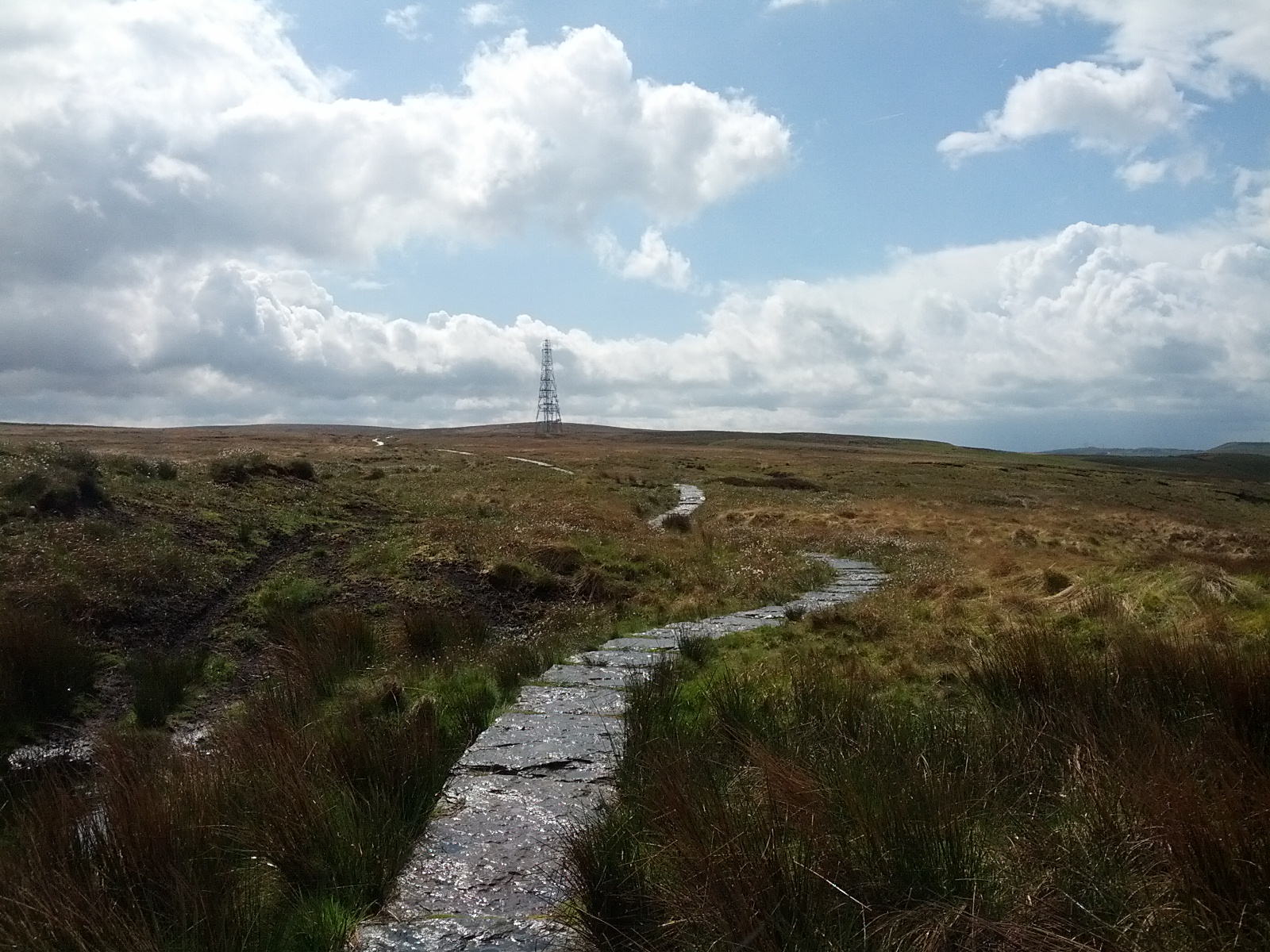
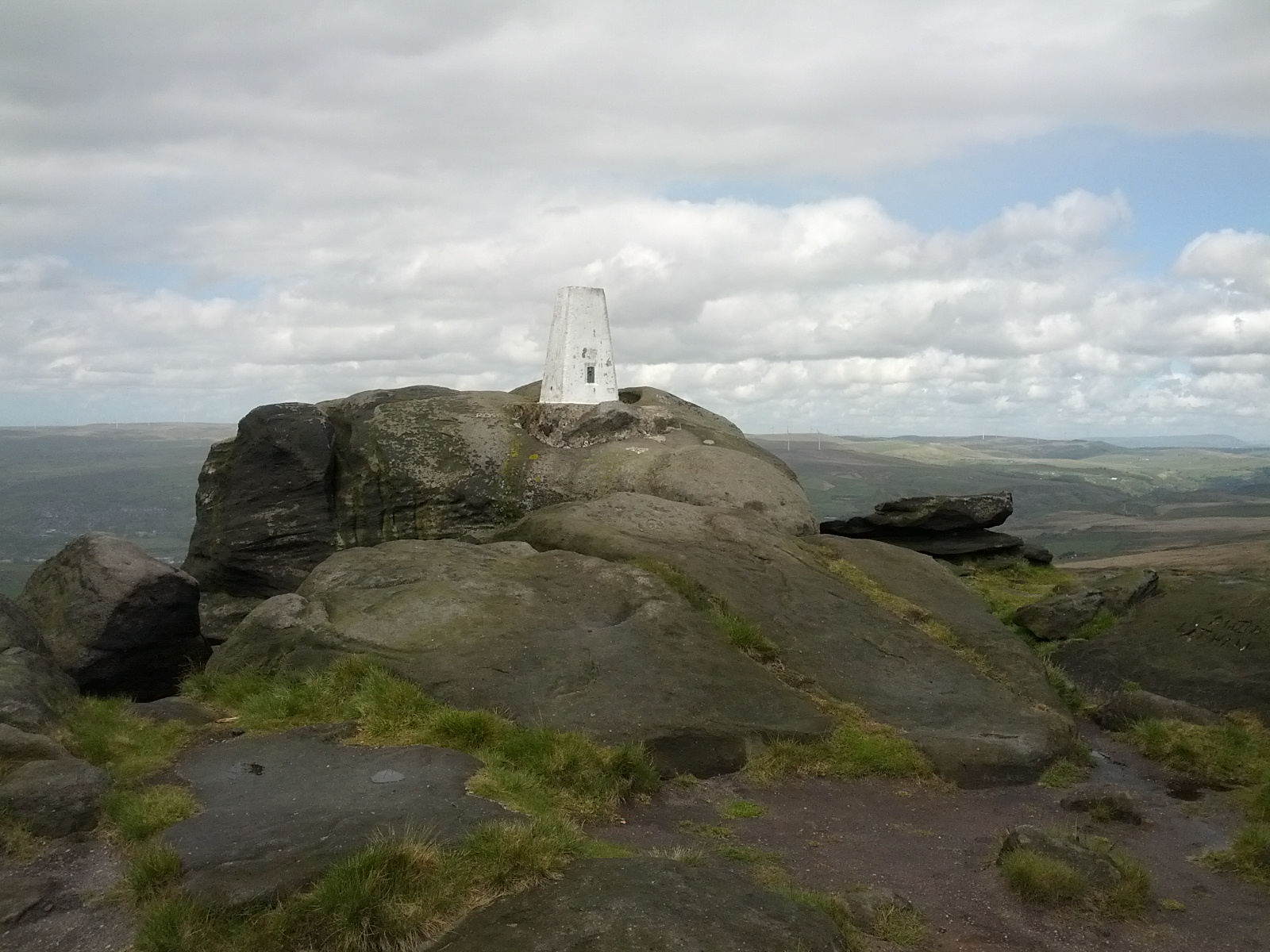
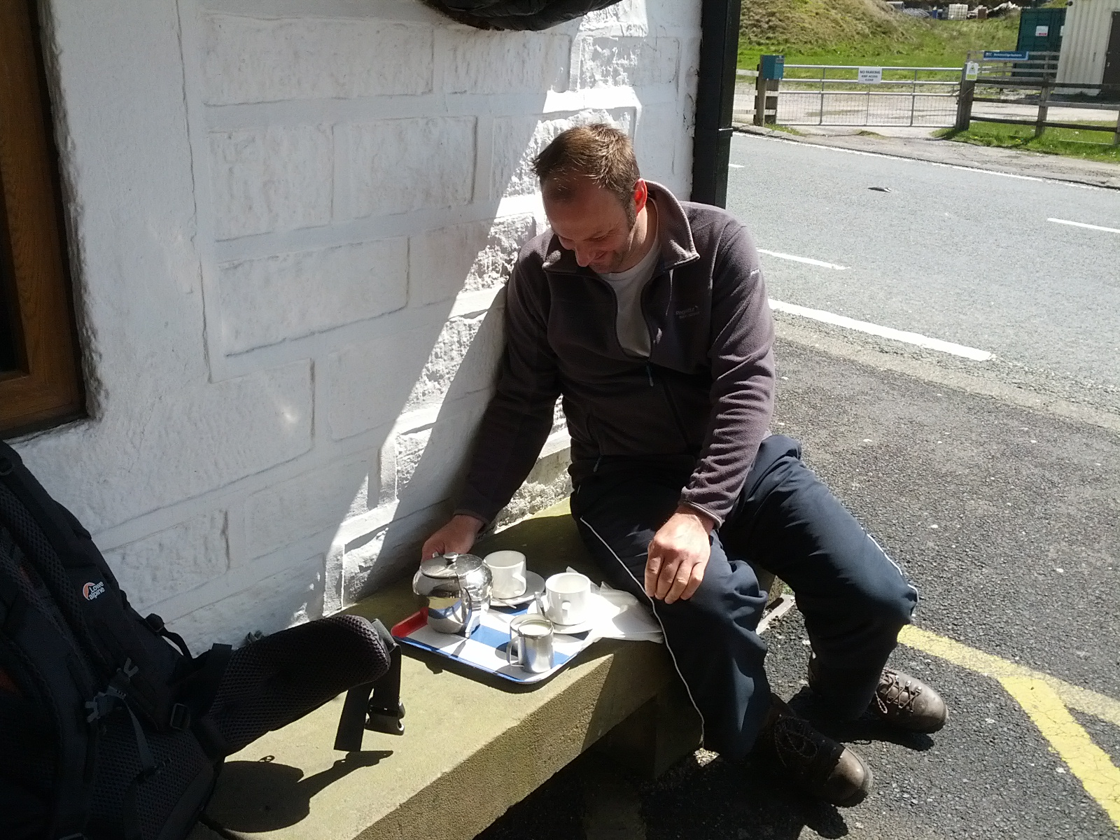
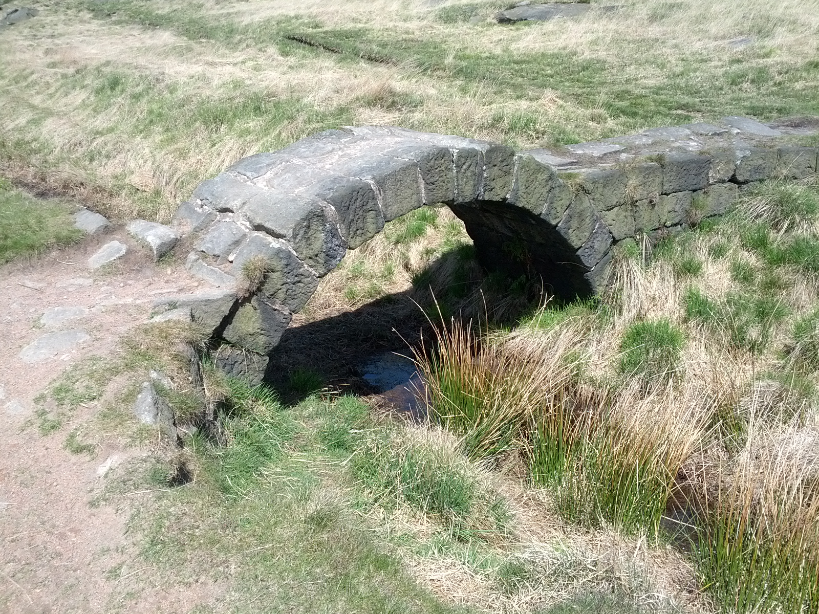
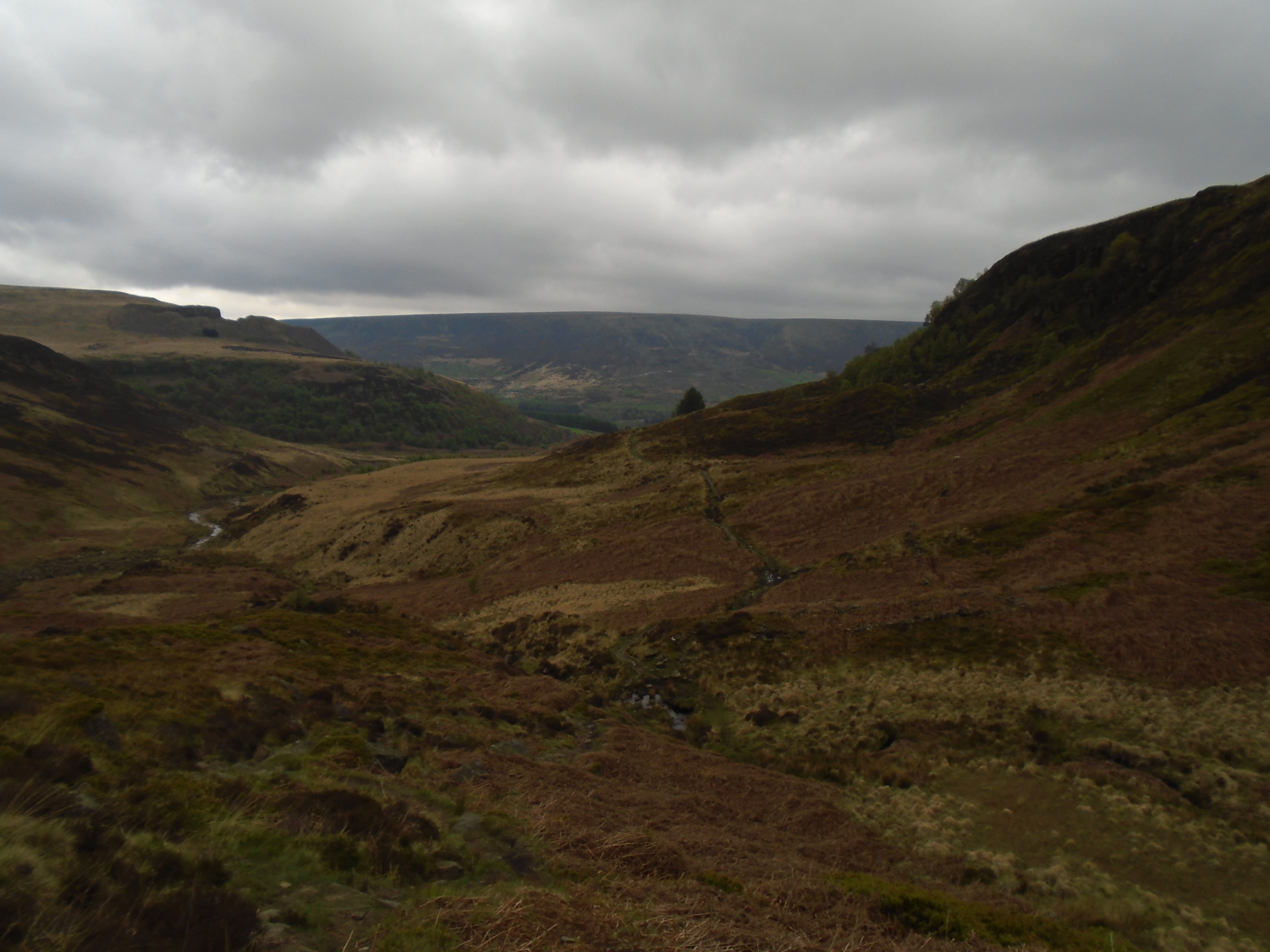
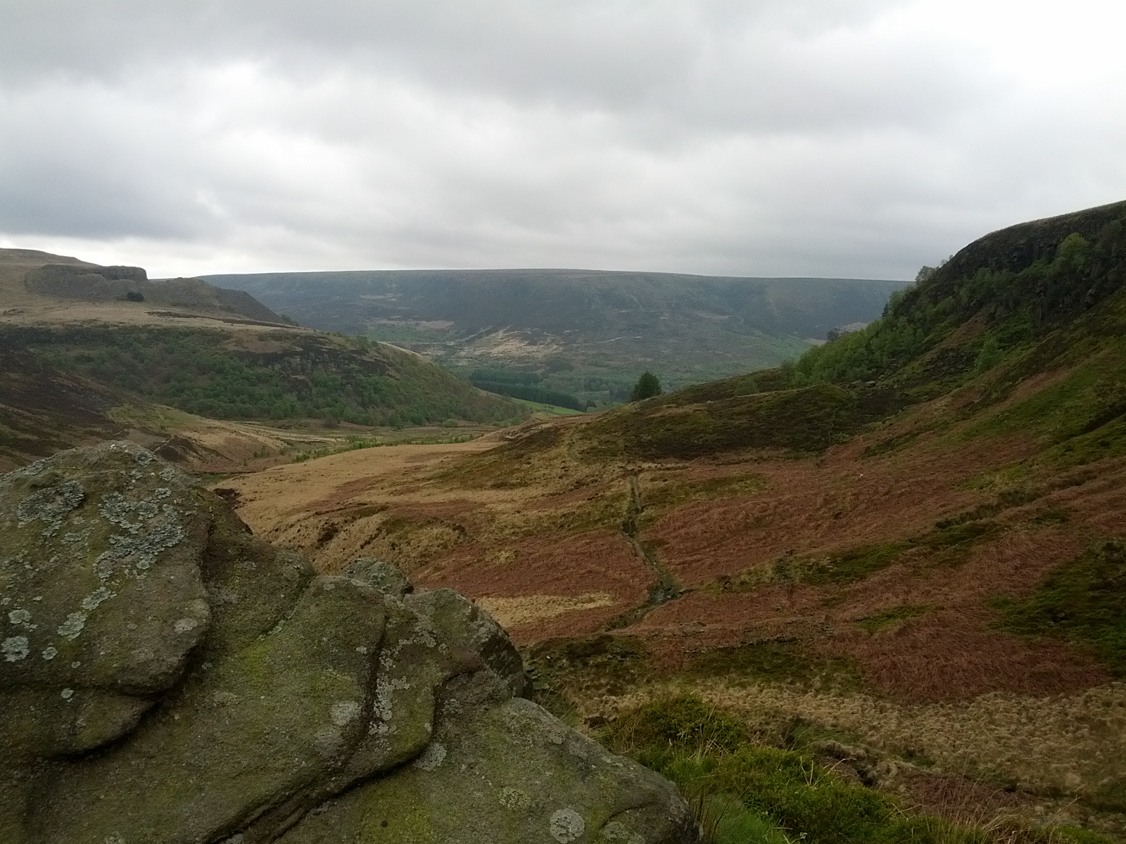
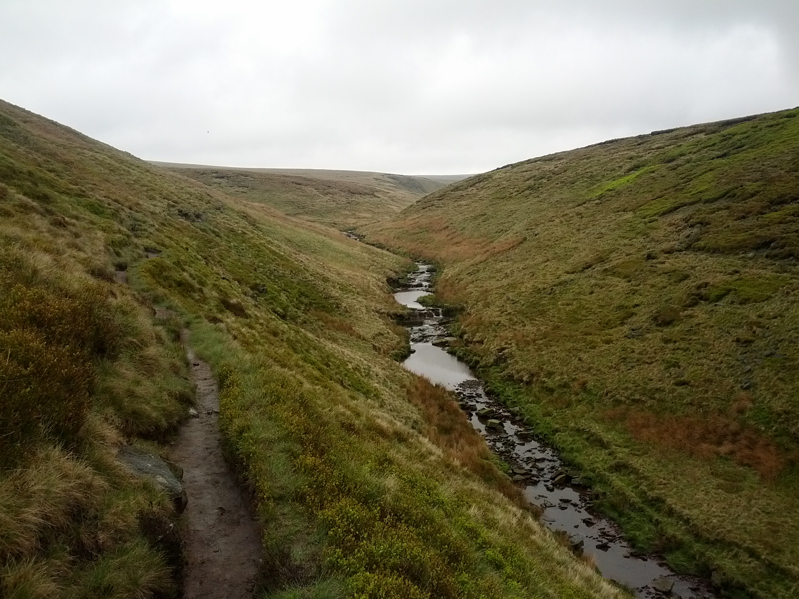
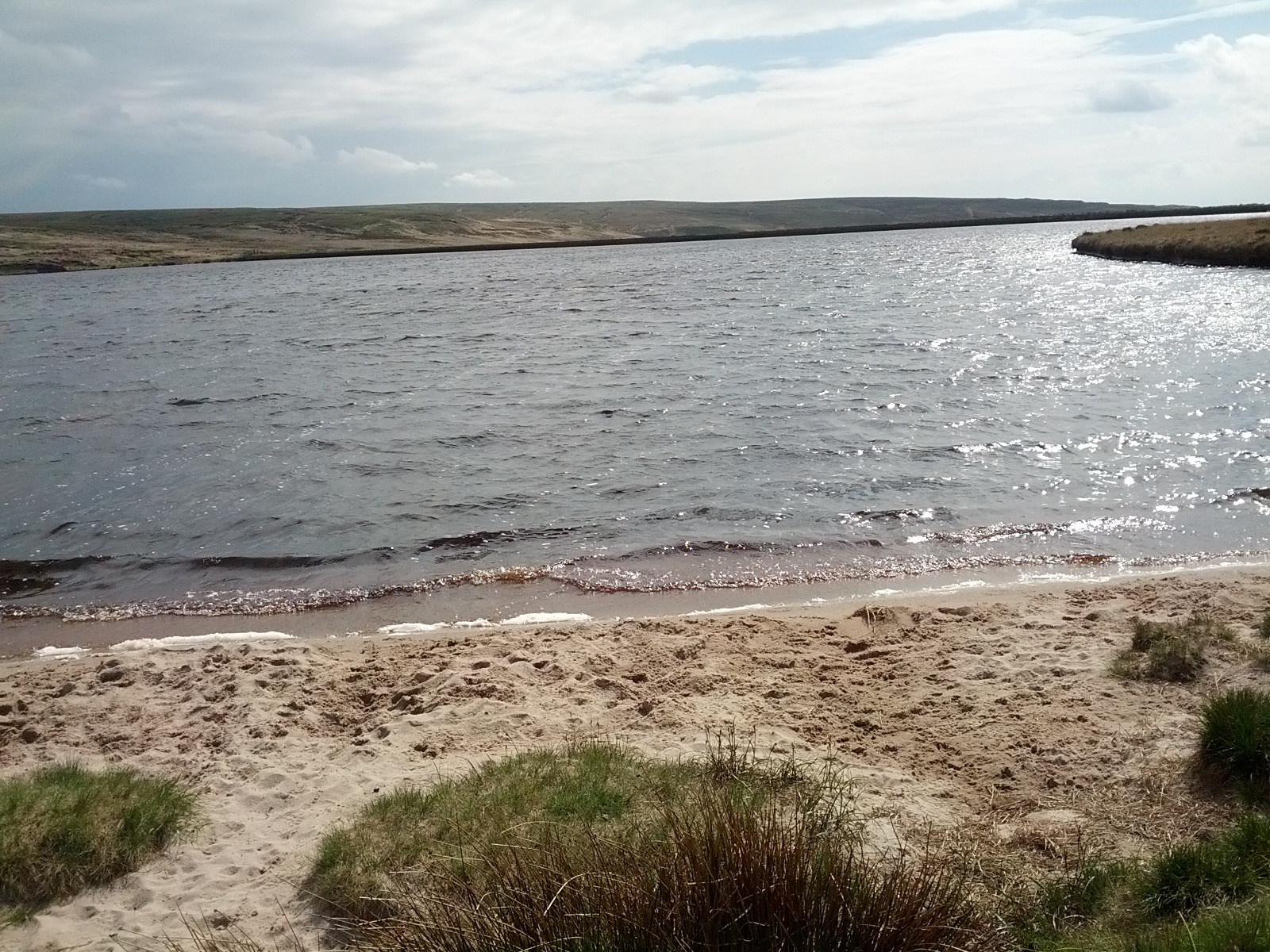
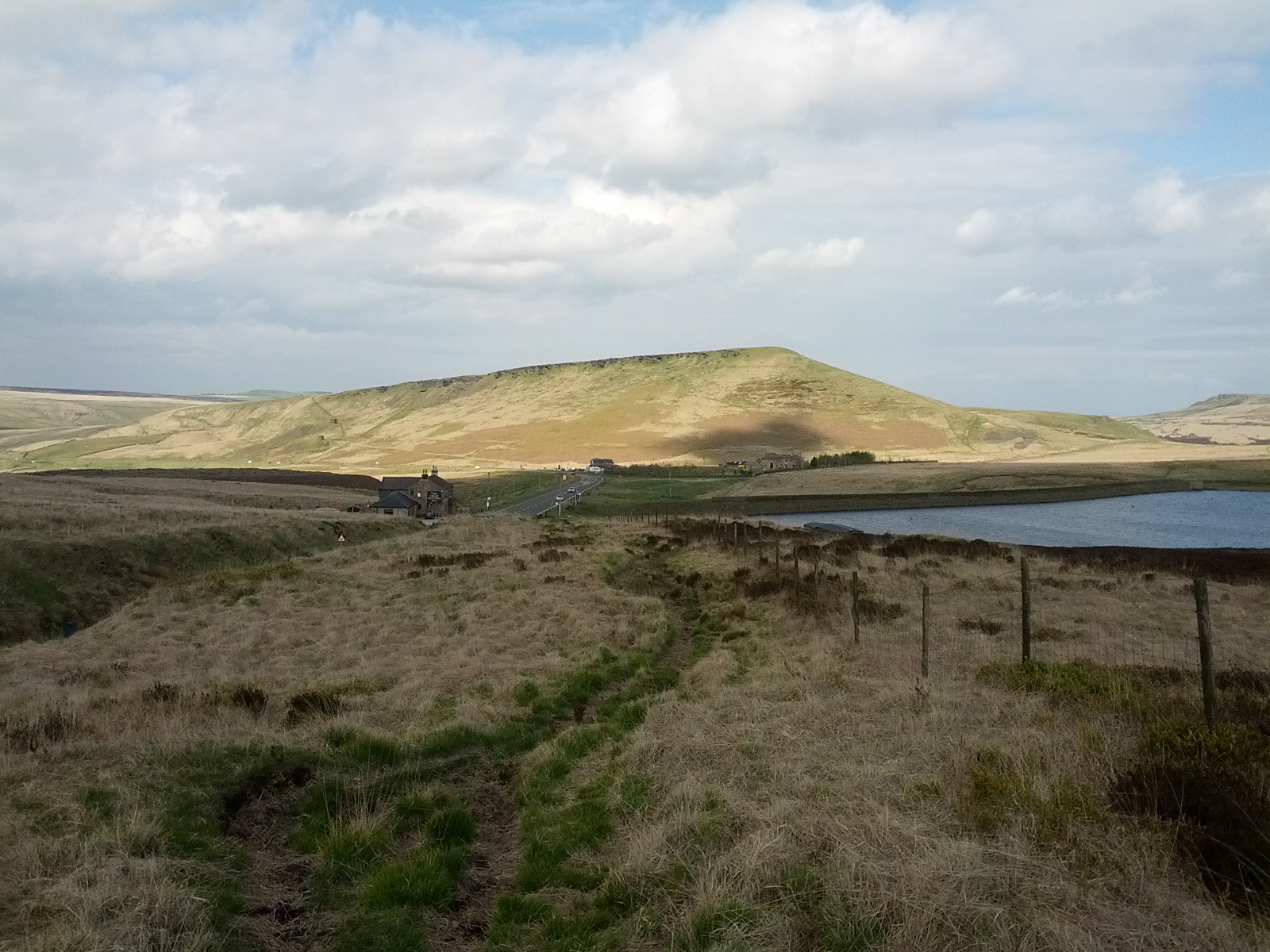
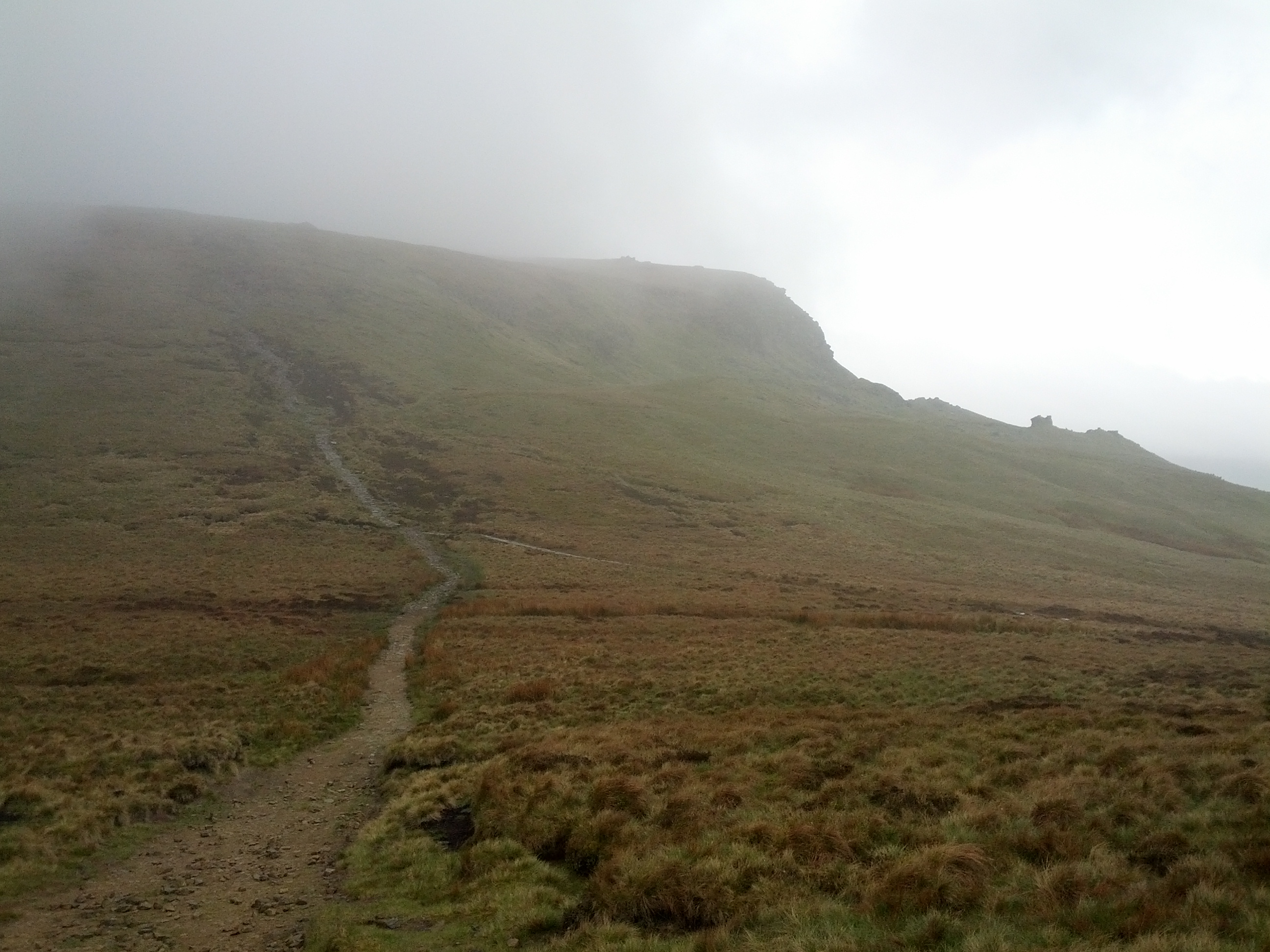
So we set off without waterproof trousers. It turns out that these are a really good idea in the rain. We squelched our way up Pen-y-ghent and trudged our way down again. It was not pleasant. Reaching the Penyghent Cafe was a relief. Few drinks have felt as good as that pint of hot chocolate.

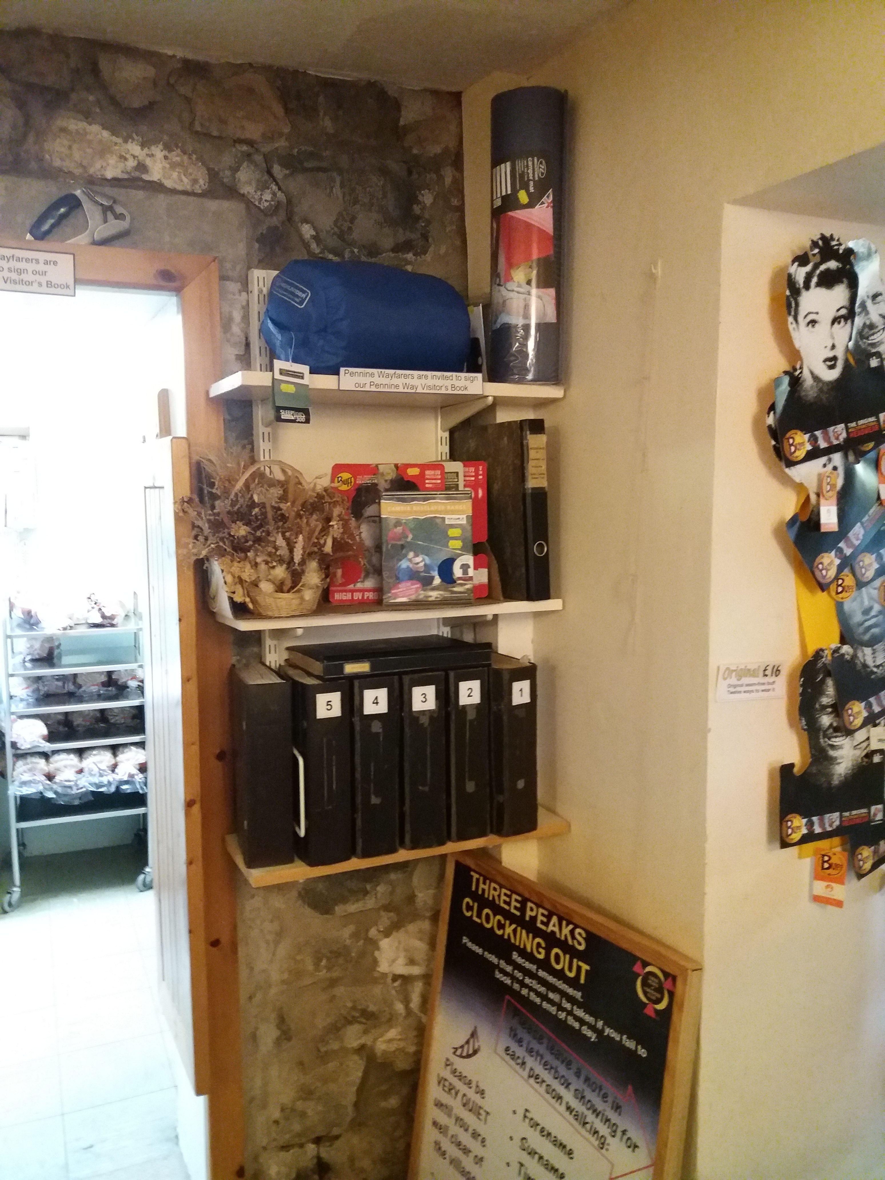
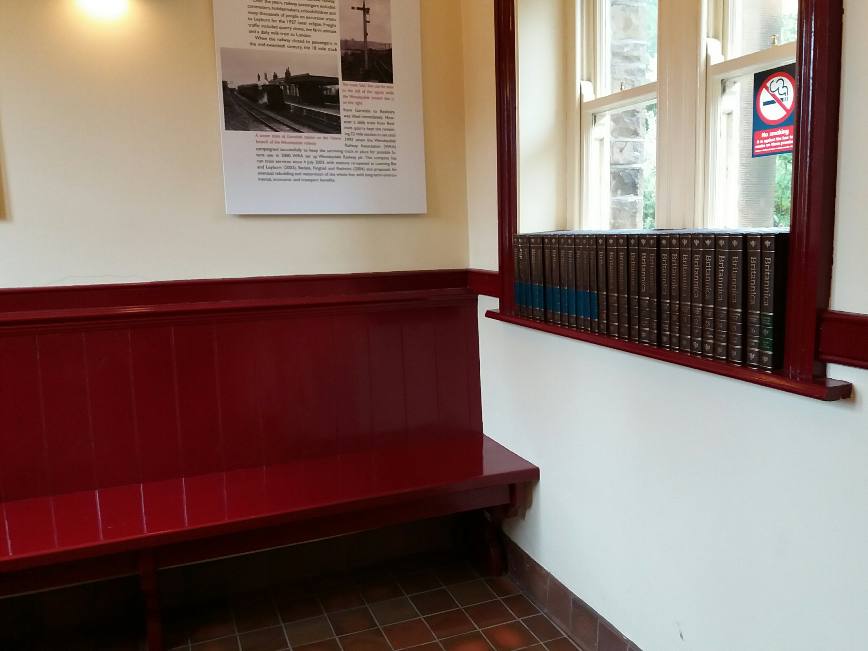
We put our names in the hiker’s register that the cafe has kept for years, which now stretches to multiple volumes. We also heard the tale of a couple of cyclists who that very day had quit their Land’s End to John-o-Groats ride, spirits broken by the headwinds.

I am unsympathetic. If you’re planning a huge cycle ride in September you need to consider the weather. You don’t discover it’s difficult halfway and then give up. If they were doing this for charity, I hope the sponsored organisation tracks them down, and lets them know how many orphans their failure will force to go hungry.

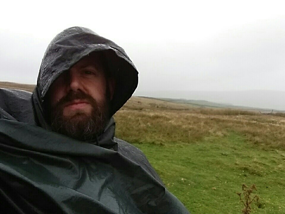
I’d wore what Amazon described as a “Waterproof US Army Hooded Rain Poncho”. If this is indeed US military style, it explains why the US military has recently fought in hot, dry countries. It didn’t keep me very dry.

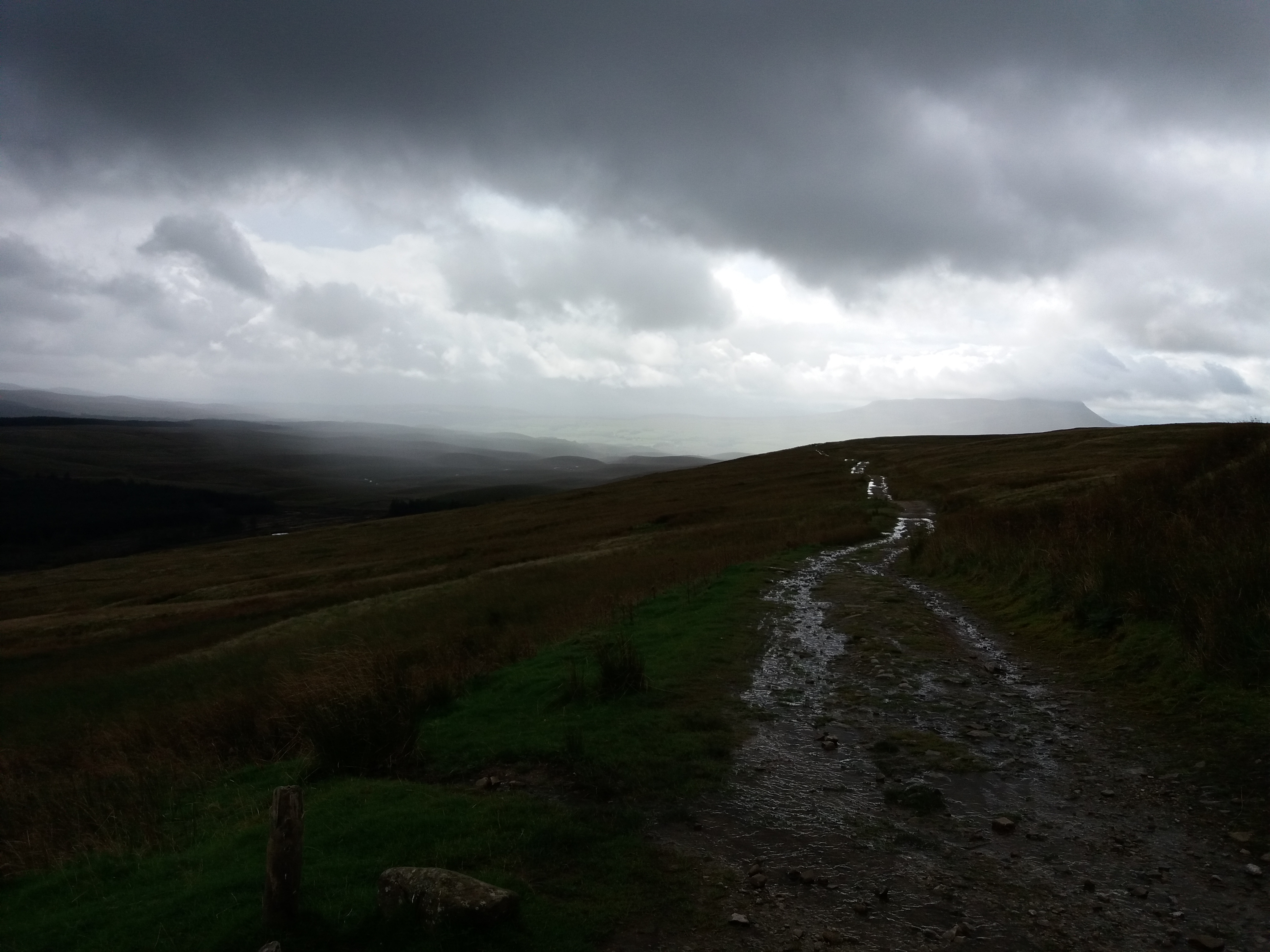
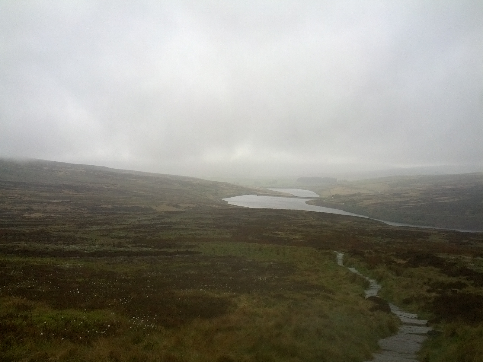
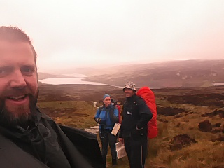
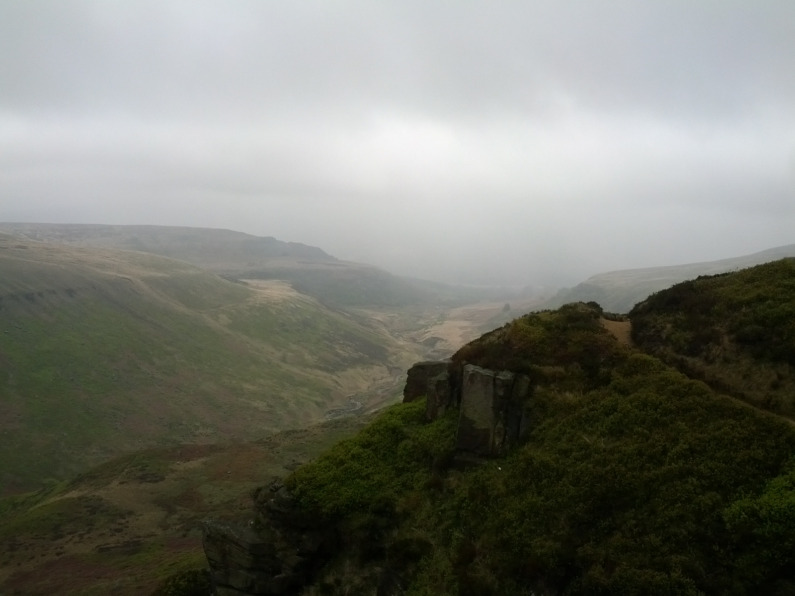
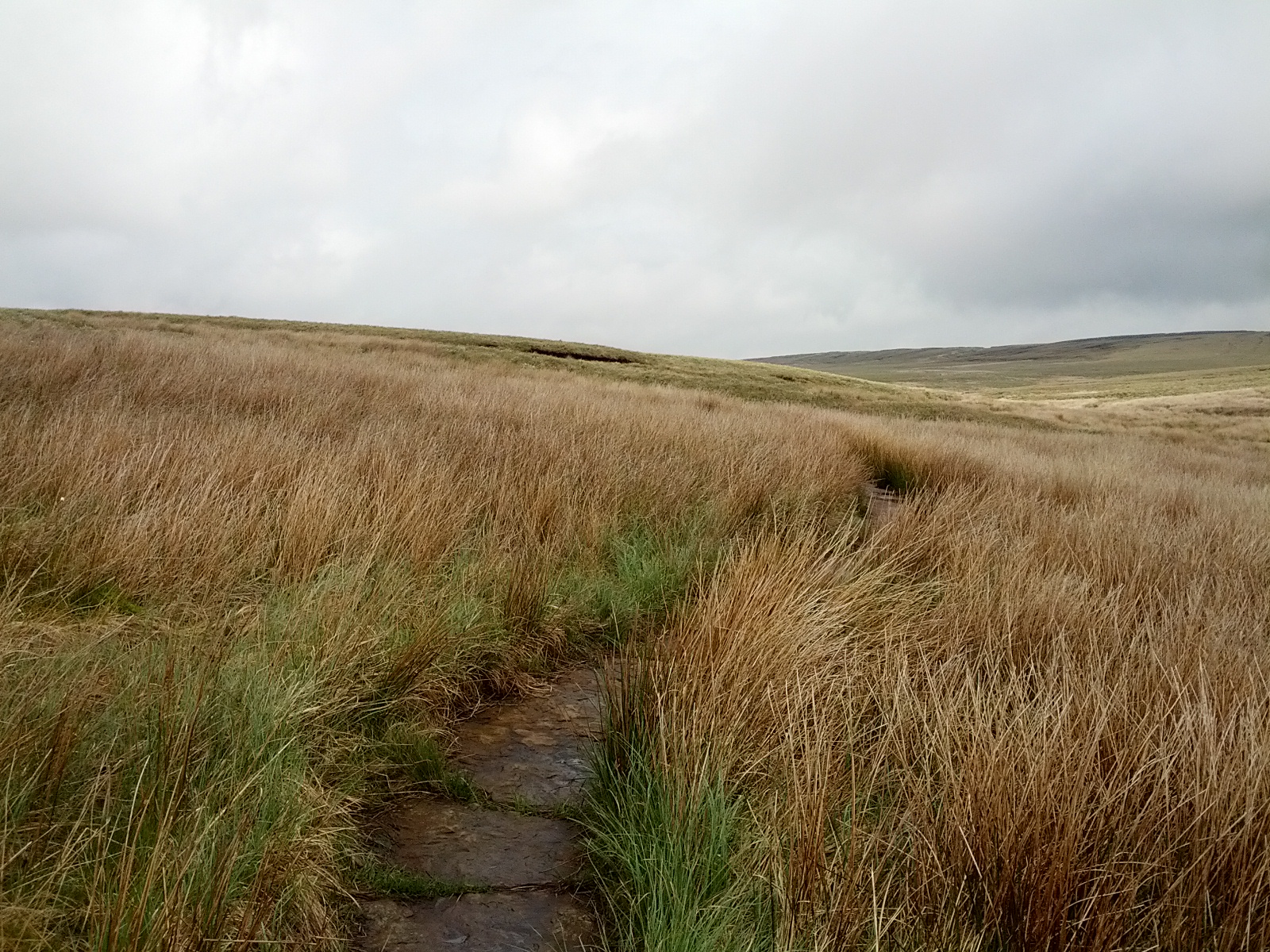
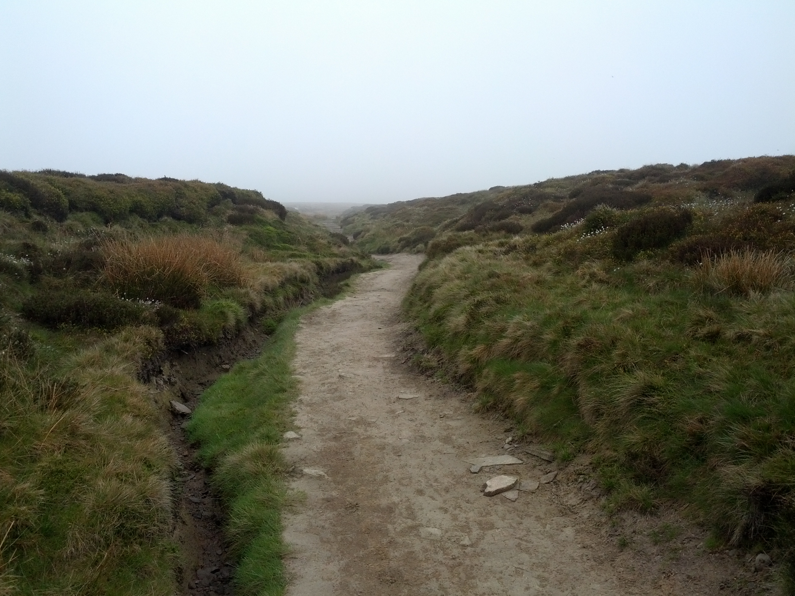
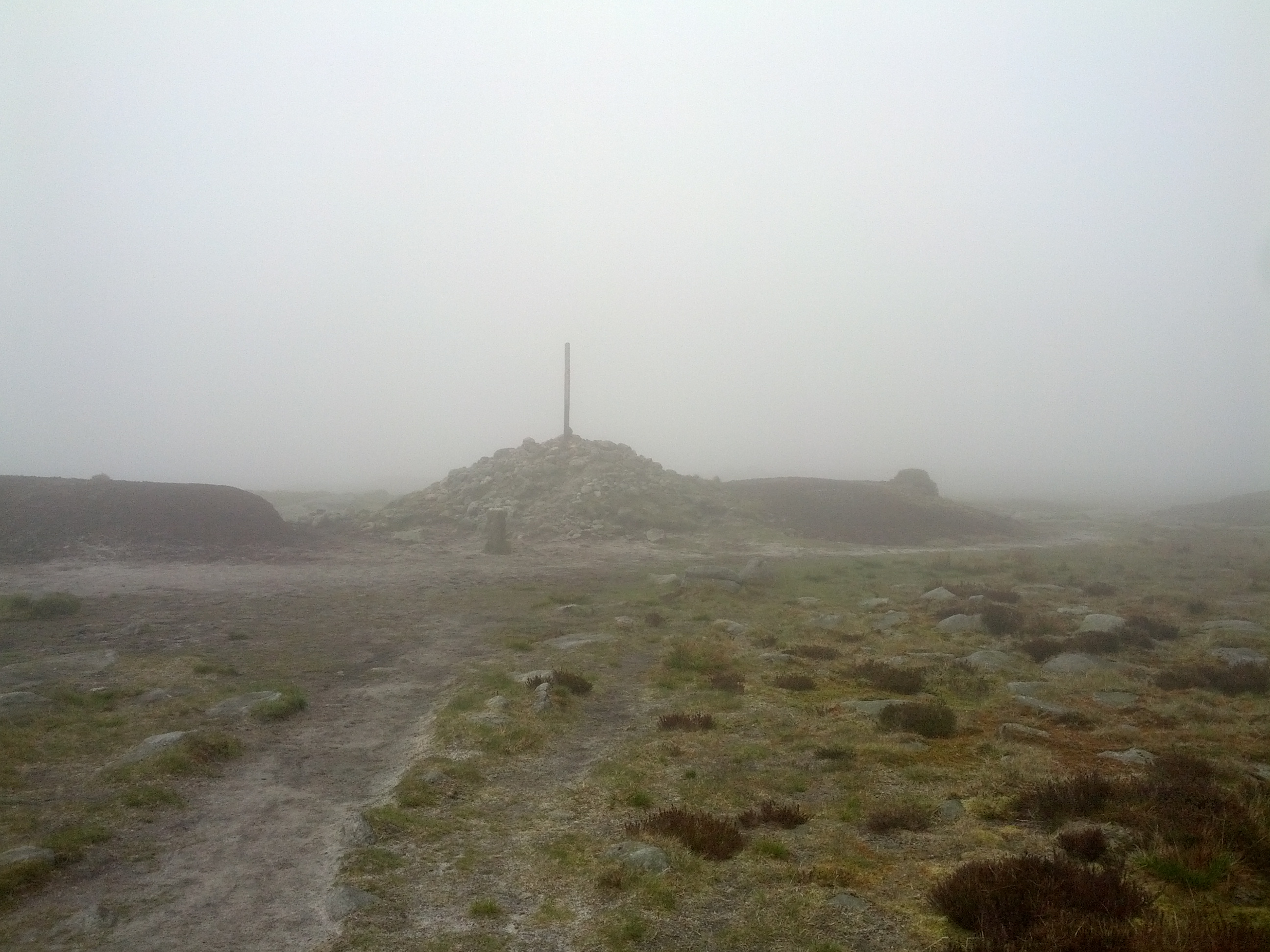
Day four, the sound of rain woke us in the night. Lesser souls might have given up at Horton-in-Ribblesdale. Not us. I layered up: long johns under my trousers, waterproofs on top of them. I borrowed a jacket to keep my top dry. And it worked – despite worse weather than the day before, worse than I’d ever seen in my life, maybe, I stayed dry. Water didn’t run down our legs, which meant it didn’t pool in our boots.

It turns out that there is no such thing as bad weather in the right clothes. And before the next walk I will buy some better trousers, ones I can put on when it starts to rain.

A rainy day

Prevouisly, this weblog might have given the impression of a cavalier attitude toward preparation. This is probably the dregs of teenage suspicion against anything looking too much like ‘effort’. And, you know, the fact there are no pictures of Lou Reed, David Bowie or Kanye West in waterproofs.

Which is fine until you’re dealing with the rain. Throughout Saturday’s walk on the Pennine way we dodged the showers. Yesterday, the downpour started as we stopped for lunch and pretty much continued until the day’s end.

The rain soaked my trousers as I’d not had chance to put on waterproofs. Slowly my boots became sodden, every footstep squelchy and gross. And my poncho kept getting whipped away by the wind. 

I’m more of a fan of rain in theory than practise. Take Madonna’s song, which compares rain to love; this couldn’t be further from my experience of continual showers and drizzle. Listening back to Rain, I can tell Madonna hasn’t faced a wet day on the Pennine way. She is not someone who owns waterproof trousers.

As we approached Pen-y-ghent, the mountain was invisible. We never saw more than about 50-100 metres in front of us. We had no idea how far we had to climb until we reached the path at the summit. I have no idea what this mountain looks like.

The ascent was more challenging than we’d expected, with a little scrambling over rocks while high up. As there was a break in the rain I took off the poncho to stop it blowing about. We kept going, excited about the summit, and what the guidebook described as a “sublime shelter”. This turned out to be two sets of benches, well designed so that one set would always be out of the wind. It gave us somewhere to rest and eat, but to be called sublime, a shelter really needs a roof.

The views from the top of Pen-y-ghent were disappointing.

During the first day walking the Pennine way, David and I met two women who’d done it done years back. They told us they had seen only one afternoon of rain the whole time. An enviable experience, but it gives them little to talk about when the conversation turns to the Pennine Way’s reputation for bad weather.

The experience of waterlogged boots and clothing was unpleasant. But it was never dangerous, since we had a warm place to stay at the end. The weather could well have been worse – it was warm, at least. And I found myself enjoying the challenge, knowing that I could endure everything that the rain was throwing at me. I was content, maybe even happy. There were few places I would have rather been.

Lying in bed now, a little after 6, I can hear rain lashing the windows. My car is a little way off in Hawes. I’m not looking forward to setting out, but I’ll make the best of it.

On poor planning and a fantastic train station

​When I go on holiday, I tend to plan the whole thing in detail – maybe too much detail. My hiking plans tend to be looser. I book the places to stay in advance, but the rest is an undignified scramble.

Sometimes, like my trip to the devil’s punchbowl, this works out well. Others, like not buying walking boots for the South Downs Way, can be more painful. And I always end up carrying a heavy pack with too much food. I’ve got a bag of nuts with me on the Pennine way that I’ve walked 200 miles with, simply because I never check ahead and see there are more than enough places to buy hot food on the way.

Books on hiking recommend some practice hikes to get an idea of how far you can walk. I initially based my distances on accounts of WW2 POWs. I mean, if they could walk 16-20 miles a day after years of malnourishment, I could follow the twenty mile a day schedule in the south downs way book.

Most of my planning goes on clearing the decks so I can disappear for a few days. I’d planned to buy waterproofs and a new rucksack before the next Pennine way stage. Instead I squandered the preparation time writing work emails. I was quite lucky on my first Pennine way sections as I read the Rambling Man guide beforehand and realised it was a slightly more challenging path than the ones in Sussex. I bought maps, although not proper waterproofs. And then, the night before setting off, I realised I’d not packed suitable trousers, and had to drive to a 24 tescos megastore.

As my current walk approached I found myself rushing through a to-do list. I wonder if I should maybe take my laptop or not go at all. I had a horrendous drive up the M1 the night before, and the drive to Hawes was grim – my car started bleeding in a service station car park.

But the stress soon vanishes. For me it was when I found myself at Garsdale station. It wasn’t just the amazing setting:

No, the station had a cosy waiting room. And, to make it even better, a complete set of the Encyclopedia Brittannica.

I read the entry on Varanasi. “The sacred city is bounded by a road known as Panchakosi; every devout Hindi hopes to walk this road”. While I’m not religious, this is the hike I’d most like to do.

Another great thing about Garsdale station was the statue of a dog. Ruswarp was the mascot of the campaign to keep this station, and had even legally signed the petition, the pawprint accepted since he was a paying customer. 

Ruswarp’s companion Graham Nuttall died in a mountaineering accident in 1990. Ruswarp stayed with his body for eleven weeks in the depths of winter. The world would be a better place if there were more statues of doggos and fewer of generals.

While I was in the waiting room, someone on the other platform called to me. They said that, in six minutes time, a lumber train would be coming through from Wales. I came out to see it, pressed myself against the wall as the train hurtled through.

As the air filled with the scent of timber, I wondered what type of trees these were. I daydreamed about changing careers, to become an FBI agent investigating crimes in quiet places like this. Life is good.

The Pennine Way Day 4

IMG_20170515_085055

1 – Day 4 of the Pennine Way started with one of the most difficult bits of hiking I’ve done. The forecast had predicted rain, and I’d hoped that we would be lucky and the storms would pass us by. No such luck. We set out in wet-weather gear, heading into town with Emma and Charlie. After separating, Dave and I followed the path along the canal. Soon after, it took a steep turn uphill.

IMG_20170515_092413

2 – If Dave had suggested jacking it in at that point, I would have gladly done so. I’ve never been so close to giving up on a walk. Looking at the book last night, I learned that this was one of the most difficult ascents of the entire walk.

IMG_20170515_105746

3 – As the saying goes, there is no such thing as bad weather, only inappropriate clothing. We were lucky this was on our last day, as it was a good lesson. I’m going to invest in some better rain gear than my poncho. I’m also going to have a change of clothes waiting at the car for all future walks. Despite the rain, the day was better than pretty much any day that I’ve spent in an office.

IMG_20170515_121006IMG_20170515_121020

4 – One of the interesting things about a trail like this is that you hear about the people ahead of you. We knew there was an Australian woman ahead of us and we finally met her on the final day. We decided to walk together, which was an interesting change of pace (and conversation). The Pennine Way was the first of a series of adventures around the world that Carolyn had planned.

IMG_20170515_110249

5 – It turned out on this walk that Dave is incredibly good at recognising different types of birds. He also knows a lot about farming. I learned that it isn’t possible for sheep to deliver triplets without human intervention – without help, the third always suffocates. The sheep were full of bedraggled lambs, which Dave told were about a day old. Our group was silenced by the sight of a dead one in the grass.

IMG_20170515_114702 IMG_20170515_111315

6 – I need to do a whole post on walking and Lord of the Rings. Tolkein’s classic is basically a book about hiking with a load of battle scenes thrown in. I think this is something the movies got wrong, not paying enough attention to the walking. Our walk had its Tolkeinesque moments, with Hebden Bridge providing our hearty Rivendell-style welcome. And, tramping along the damp moorland paths, it was easy to recall the grim tramping of the second book.

IMG_20170515_121552_1 IMG_20170515_122347

7 – We crossed the moors towards Top Withens, a ruined famouse that is said to be the inspiration for Wuthering Heights – despite looking nothing like the house in the book, and there being no evidence for a link. A slightly sniffy sign protests its own presence, saying it is only there because of tourist demand. I was more than ready to take shelter behind the ruined walls. Fortunately Dave looked round the side and found a dry indoor shelter. I’ve been in posh hotels that felt less welcoming and luxurious than this hut with its dirt floor. It was so good to be somewhere dry for a bit.

IMG_20170515_124910

8 – We said farewell to Carolyn at Ponden and then walked on to Stanbury. A succession of buses and trains took us back to Edale where we’d started the walk. The first quarter of the Pennine Way was complete. We’re going to continue in September.

IMG_20170515_140309

The Pennine Way – Day 3 (Standedge to the Calder Valley)

IMG_20170514_091445

1 – Day 3 of the Pennine Way took us from Standedge to the Calder Valley and Hebden Bridge. The walk started comfortably, with lots of gentle moorland and some great views, although less epic than on the previous two days. This was also a more urban section of the walk, withseveral roads to cross and Rochdale in the distance for a large chunk.

IMG_20170514_102655

2 – At some point on our third night on the trail, we had travelled for as long as the fastest person had completed the route. Apparently, the record for the entire Pennine Way is a shocking 2 days 17 hours.

IMG_20170514_104803

3 – The cairns were one of my favourite features of the route. With the stone paths, navigation along the Pennine Way is less ambiguous than it once was. The cairns are now mostly ornamental, but they seem incredibly exotic to me, as if from another  time or place.

IMG_20170514_110204

4 – We stopped for a snack just after the M62. As we put on our backpacks again,the rain began. We didn’t think it would be too bad but it soon soaked us to the skin. This was a foretaste of what was to come on day 4 – and a lesson to change into rain gear more quickly.

IMG_20170514_113215 IMG_20170514_114928

5 – We passed the Aigin Stone, a marker from an old coaching route. It also lay on the end of a Roman Road. I don’t know enough about these sort of things to tell if this would have been the original stones that legionnaires would have paced, but it still felt stirring to follow ancient footsteps.

IMG_20170514_120043

6 – We paused for tea at the White House Pub, which stands beside the A58. It was a lovely, friendly pub and we wished we’d planned for lunch there. Maybe next time I pass.

IMG_20170514_123035

7 – One of the most famous recent walks of the Pennine Way was by the poet, Simon Armitage. Apparently one of his poems is etched into the stone beside the path, shortly after the White House. We missed it completely.

IMG_20170514_130525

8 – One of the best thing about walking the Way is meeting other travellers. Of those who aren’t doing the route, many have done it in the past, and will reminisce about it. We met a couple of women who’d walked the way then on to Holy Island, and encountered only 10 minutes of wine. They enthused about the Cheviots, as did a man we met on the third day. Years later, he was still blown away by a view of “Hills forever”.

IMG_20170514_131035

9 – Off in the distance we caught sight of Stoodley Pike, where we were due to meet Emma and Justin. It felt exciting to be nearing our end. Stoodley Pike is a 37 meter tall monument, originally erected to celebrate the defeat of Napoleon. This caused a Father Dougal-style confusion with perspective, being both very large and far away. We thought we were much closer than we were.

IMG_20170514_134804

10 – We had barely sat down at the monument when we were joined by Emma, Justin and Charlie the dog. They escorted us into the valley and I couldn’t help but feel like a hobbit being led down into Rivendell. It was good to have a night staying with friends in the middle of a long journey.

IMG_20170514_150246

11 – I’ve been using the Trailblazer map series, which has a clear and detailed description of the route. And, as promised, a short distance from Hebden Bridge we found the Land Rover in the field.

IMG_20170514_153445

Pennine Way – Day 2

DSC00054

1 – Day two of the Pennine Way began with a 300 meter climb spread out over two miles in an incredible valley before following Crowden Great Brook towards Black Hill.

IMG_20170512_102531

2 – The day’s walk was just eleven miles, but the many climbs on top of the previous day’s strain meant it took quite a toll. I thought I was used to hiking, but this wore me out.

IMG_20170512_105756

3 – We were very lucky with the weather. It was drizzly and windy, but not too unpleasant. Some of the paths ran very close to the edge of tall drops – in windier weather I could imagine this being quite dangerous. But a quick google turns up few reports of people who’ve been hurt on this trail.

IMG_20170512_112355 IMG_20170512_113809

4 – Having done several national trails now, one of the things that fascinates me is that each path has its own language. Or maybe its own voice. The South Downs Way could probably be followed without a map, since there are so many way markers and other walkers. The Limestone Way was incredibly difficult to follow, with the markers disappearing completely once I entered Staffordshire. The Pennine way is an interesting mix of obvious paths and places that rely on the map. When you reach a paved section in the middle of wilderness, it feels like the return of an old friend. Sometimes the path seems tiny, only the barest thread to lead you forward.

IMG_20170512_121204

5 – On this stage, Emley Moor Mast became visible in the distance. A huge concrete structure, its twice the height of Brighton’s i360.

IMG_20170512_121857

6 – Just before two we reached the A635 where we found Snoopy’s Snack Van. We ordered cups of tea and sat on plastic chairs out of the wind, chatting with a couple of other hikers. I tried one of the egg sandwiches, but the cooking facilities weren’t veggie friendly. I couldn’t finish the food, but the tea tasted amazing.

DSC00058

7 – One of my favourite things about the Pennine Way is the communication. I’d read about this in Emily’s account of the Coast-to-Coast path. It doesn’t happen so much on the South Downs Way, since the density of walkers is less and people are less chatty. On the Pennine Way people were more up for a chat. That day, a man was walking the route from Edale to Hebden Bridge in a single day, having set off at 4am. Somewhere in the distance was a woman who’d come from Melbourne Australia to walk the trail. I guess some of the people in our wake would have been told about us.

IMG_20170512_133728IMG_20170512_134839

8 – We found a frame looking out on a view, which reminded me of Claude Glasses, used as a means of viewing landscapes in the 18th century. The idea was you looked through them and found a perfect image, like a painting. The Framing the Landscape project is by Ashley Jackson.

IMG_20170512_143350 IMG_20170512_144812

9 – On this stage and the following day, we passed a series of reservoirs. Near the snack wagon had stood a couple of gateposts, all that remained of the Isle of Skye hotel. It was demolished when the reservoirs were made, because it was thought it would pollute the water supply.

IMG_20170512_152622

10 – The Carriage House was a great place to stay – comfortable and relaxed. And it had a bath! We ate an early supper then went to our rooms and fell asleep. The Pennine Way had worn us out.

IMG_20170512_155127

Pennine Way – Day 1

IMG_20170511_102228

1 – The Pennine Way is 268 miles long, running from Edale in Derbyshire to Kirk Yetholm in Scotland. On Friday I set out to walk the first 52 miles with Dave, my brother-in-law.

IMG_20170511_114538

2 – The Pennine Way was Britain’s first national trail, originally suggested in 1935 by the journalist Tom Stephenson. An American wrote into his newspaper column asking if Britain had anything like the Appalachian trail. Stephenson said there wasn’t, but suggested a possible route, and worked to make this official. The path was formally opened in April 1965, thirty years later. The success of the Pennine Way has led to other trails being opened around the country.

IMG_20170511_112219

3 – Despite managing to live out of a single bag for months when travelling, I made a huge mess of packing for this trip. I sorted my things in Derbyshire, at Dave & Liz’s house, and realised I’d forgotten to pack appropriate trousers. Walking the Pennine Way in suit trousers seemed a poor idea, requiring a late-night drive to Tesco’s to buy better attire.

DSC00030

4 – The route begins at Edale, close to Castleton, the start of the Limestone Trail (which I walked in April). After walking the South Downs, North Downs and Limestone Ways recently, I’d grown complacent. Fortunately I read the Rambling Man guide a few days before and realised I needed to prepare a little better than usual. The maps I bought came in very useful.

DSC00034

5 – We stopped at a cafe to buy hot drinks in Edale before setting out. We considered food – I fancied a breakfast roll. Dave wanted a sandwich from the lunch menu. They would sell us the latter to take away, but only on condition we didn’t eat it on the premises – they were still on the breakfast menu. There were just two other people in the restaurant. I wondered what disaster or misfortune had led to such a strict policy.

(The sandwiches we brought were tasty though, probably the best packed lunch we had on the trail. The bread was unlike any I’d had before, the surface of the roll tearing like paper)

IMG_20170511_113040

6 – It’s quickly apparent that the Pennine Way is not fucking around. After a gentle rise to warm up, the path reaches Jacob’s Ladder, a long stone stairway. At the top of this we were among the clouds, with little visibility. The path across Kinder Downfall ran beside a long drop. And the descent to the Snake Inn turn-off was hard work, with steep slippy rocks. The Pennine Way is a health-and-safety nightmare. It compensates for this with some of the most incredible views I have ever seen.

DSC00050

7 – Apparently Wainwright hated this path, with its bogs and difficult navigation. With the addition of paving stones, the route across the bogs on the first day has become much easier. These provide both navigation and a trustworthy walking surface. Apparently some people have complained that they make the route too easy. Personally, I was very glad of them.

IMG_20170511_133140

8 – Day 1 included some interesting places. We passed through Kinder Scout, site of the 1932 mass trespass. Although it was a little way off the path, we passed near to the crashed bomber on Bleaklow that I visited a couple of years back. We also passed through the narrow twisting route of “Devil’s Dike” (sic). All the high points were wreathed in mist, sometimes with very little visibility.

IMG_20170511_145749

9 – The pace of the Pennine Way is defined by the availability of accomodation. There are long periods without any buildings or shelter. Indeed, we could go hours without seeing anyone.  The first stage is 16 miles to reach the Crowden Valley, where we’d booked into Crowden’s only B&B (other options were a short car journey from the trail). For £3 the B&B owner drove us to the Peels Arms where we had a surprisingly good meal

IMG_20170511_153833

10 – By the time we reached Clough Edge, the weather had turned sunny, and we had a beautiful descent to Crowden. Dave was adopted by a tame lamb, which followed us through the fence. Eventually he had to walk to the wall and climb over, leaving the lamb on the other side, jumping and bleating.

The first day was a hard walk, but I already knew I was going to love this trail.