The Yorkshire Three Peaks

I walked the Yorkshire Three Peaks trail last Saturday with a group of colleagues. The entire route took 14 hours and it was one of the most enjoyable hikes I’ve taken.

My employer organises annual trips, either skiing, a city break or, this year, a hike. We picked the Yorkshire Three Peaks as it’s a circular trail and therefore easy to plan. In retrospect, a twenty-four mile hike was quite ambitious. We all gathered on a campsite near Whernside the night before and set off a little after half six the following morning. Out of thirteen walkers, ten finished the trail.

The Yorkshire Three Peaks is a popular route. Most people walk clockwise from Horton-on-Ribblesdale, but the route proposed for our group was anti-clockwise from our campsite, starting with an ascent of Ingleborough. This was actually a great decision, as we didn’t find ourselves part of a long procession around the peaks, but rather passed most of the other people walking that day.

I had a terrible night’s sleep the night before (which was also my birthday). One of the other campers on the site was a belligerent drunk, who spent the night shouting and swearing. I can’t have managed much more than three or four hours sleep. I was up about half four, having given up on rest, and slowly prepared my kit.

Normally, I do my long hikes solo, and at a slightly faster pace than is wise. Walking with other people slowed me down, which made the day more pleasant than I’d expected. Walking twenty-four miles was still hard work, but my feet certainly finished in better shape than they do after my solo hikes.

The climb up Ingleborough (723m) was busy, as we encountered a large number of charity walkers who had set off from the other side of the peak. Everyone was friendly, and the queue for photos at the trig point was brisk. We then made a slow descent to the town where Sally waited for us with a supply point. We were also bolstered by Alex’s huge bag of Kendal Mint cake.

Hill two was Pen-y-ghent (694m), which loomed as we approached. The climb up here is steep, requiring a little scrambling. I was nearly brained by a rock at this point, as one of our group had taken a higher path and dislodged some loose rocks. They clattered down without hitting anyone, but it was a shocking moment, as I’d not considered the ascent particularly dangerous.

Last time I climbed Pen-y-ghent it had been raining and the summit was cloaked in mist. This time the views were much better. On the way down we found ourselves battered by incredible winds. Pen-y-ghent means ‘hill of winds’ and it earned its name in our descent. We rested at the bottom of the hill where were saw skylarks who managed to hover completely still in the driving wind.

We passed the second supply point about three, but couldn’t find it despite mobile phones and walkie-talkies. Fortunately we had enough food and water to take us onto the next meeting point.

The walk from Pen-y-ghent to the base of Ingleborough (736m), the third hill, was the longest stretch of the journey. It took hours to cross the valley to Ribblehead with its famous viaduct. A couple of people dropped out of this stage, but the remaining ten went on to the final peak.

The walk from Ribblehead to the base of Whernside was further than I expected. Most walkers set off from specific points and were finishing elsewhere on the trail, so this stretch was now quiet, with a very different feel to the rest of the day. We passed the noisy drunk from the night before. Finally, we started the slow ascent up Whernside. On top of the ridge we could see the shadows stretching across the valley as the sun fell lower.

After twelve hours, we were about a kilometre short of Whernside, and it took another couple of hours to get down off that mountain. Still, peaking late is pretty much how I’m living my life. The whole group gathered near the trig point for a final photo, then hurried downhill as we were very late for dinner. As we descended, we passed one last group of walkers who were running even later than us.

One of the things I liked most about the 3 Peaks was it was a communal experience. Everyone you passed was going through similar things. I’m looking forward to doing it again.

Coast to Coast Day 2: Ennersdale Bridge to Rosthwaite

Day 2 of the Coast to Coast started with a calm, beautiful walk around the edge of Ennerdale Water. I imagine this can be busy in summer but for us, most of the time, there were no other people in sight. Shortly after the lake we had a choice of two routes, a low path and a high path. As the day’s total distance was just 14 miles, it made sense to take the uphill path and see the views.

Red Pike is 755 meters high, which was a long climb. I dragged myself up, lagging behind, resting frequently, counting paces. It was hard work, but we were rewarded with a great view.

It was here that we made a wayfinding error. Looking at a view, we managed to get ourselves turned around and followed the wrong ridge. At the end of the description of this section, our guidebook said, “Just make sure you don’t start the descent to Buttermere”, but we didn’t notice that at the time. As usual when you’re lost without realising, every bit of evidence seems to reassure you that you’re on track. We did ask some fell runners if there was a path down where we were headed and they told us there was.

Never ask fell runners if there is a path somewhere. They are hardy and limber, and their definition of a path is very different to that of normal people.

We followed a thin path down a steep slope, which included a little scrambling. This was brutal for my feet, and I didn’t trust my footing on the loose surface of the path, so descending took forever.

This was the descent. We came down about 500m on this slope.

In the Buttermere valley there was a helicopter and teams of BASE jumpers. I thought it was some sort of competition, and only realised later that we were passing through a shooting location for Mission Impossible 7. Apparently, it was also a day when Tom Cruise was filming. So, it’s possible the footage of this sequence will include two hikers wandering down the wrong path.

We had a choice of routes out of the valley. There was a path to the slate mines that would return us to the official route as soon as possible. The alternative was slogging up the B5289, rejoining the Coast-to-Coast a mile or two before Rosthwaite. Without an OS map, I wasn’t eager to improvise, and risk adding yet more miles to our day. We settled on the somewhat tedious path up the road.

On the way downhill, we ran into the geologists again, so were able to ask them what slate was, and how come it could be mined at the top of these hills. It didn’t take too long to reach Rosthwaite. I was expecting a village, but it was just a small settlement around three hotels. We were very welcomed at the Scaffell hotel, and when I said I was vegan, the woman in charge was sure she could sort something out. “We could do you… Um…” After a moment, I let her off the hook, and said I would be OK for tomorrow with the snacks I’d brought with me.

I had a bath then joined Dave in the bar, which was filled with walkers. I felt a little hangry when we were forced to wait for a free table, but the food was great. Above the bar was a map of the trail, and the Mountain Rescue weather reports were on the noticeboard. The weather report promised a good day, but Dave was certain this would not be the case.

There are Coast-to-Coast signs in the Lake District section, but branding is inconsistent

Coast to Coast Day 1: St Bee’s Head to Ennerdale Bridge

The traditional start of the Coast-to-Coast is for the walker to dip their boots in the Irish Sea; and then to take a pebble from the beach to be carried to Robin Hood’s Bay on the North Sea. Pick a small stone as it is a long journey.

The Coast to Coast route was originally devised by Alfred Wainwright for his 1973 book A Coast to Coast Walk. As the book’s title implies, it is only one possible route, and the trail has a number of options. As an unofficial trail, it is not always signposted, particularly in the Lake District.

Me, Dave and my Dad at the start of the trail

The walk begins with a climb onto the cliffs of St Bee’s Head. This hill is tame compared to what lies ahead. The path follows the coast for a while before turning inland and heading east.

The lack of signposting makes it easier to get lost than on other trails. We’d decided not to bother with OS maps, choosing to rely on the Trailerblazer Guide. This was not a great idea, and we slid off the path a few times on day 1. We were doing a little better than the two Scottish women who carried just an overview of the trail. They told us that “Not all those who wander are lost”. We saw them a few times in the early afternoon, but I’ve no idea how well their day’s walking ended up.

One of the great things about the Coast to Coast is running into the same people each day. Right at the start we met Steve and Laura, two American geologists who we bumped into most days. There were other groups we’d greet each day. More than any other trail I’ve done, the Coast to Coast feels like a group of people sharing an experience – while, at the same time, still feeling wild and relaxed.

Day One brought our first proper hill, although it was a tiddler at 353 meters. It gave me quite a challenge and I dragged myself up it slowly. The way down was the steepest slope of the trail, providing a different but equally tough challenge. I’m blaming lockdown rather than age for my physical deterioration, but it is worrying.

Halfway through the day, the village postman called Dave with some bad news. He’d seen Mabel the cat at the side of the road, hit by a car. Dave called my sister to tell her, and I felt weirdly sad. I liked Mabel, despite him being a very reserved cat. While I was sad about him dying, there was little to say or think beyond that. But then we had a call a few minutes later to say that Mabel was sat outside sunning himself. It turned out to be a hare that the postman spotted. Still sad, but less personal.

A good view while sitting and resting

The end of the day took us to Ennerdale Bridge. We stayed at Thorntrees, a lovely B&B which was in its last week of operation. We just about managed to get food at one of the village’s two pubs (assigned table 23, of course), finding ourselves sat next to Steve and Laura. I forced myself to eat the stodgiest bean burger of my life – the vegan food options on this trip were as woeful as the scenery was beautiful. I had a couple of pints of Wainwright’s then collapsed into bed exhausted.

A Mystery in the Hedgerow

Out for a walk the other day, I spotted a tired helium balloon at the edge of a field:

The balloon was deflating and could no longer carry its cargo. It was attached to a photo, but there was nothing on the back to identify where it came from.

I’m not sure who is in the picture or why the photo was attached to a balloon.. The white balloon and ribbon makes me think it might be an escaped wedding decoration. It feels like there ought to be something to do in response, but I can’t think what.

Trail Communities

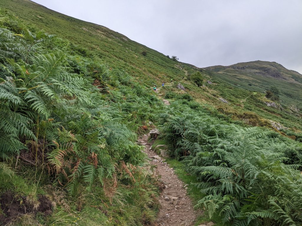
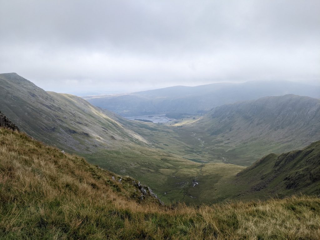
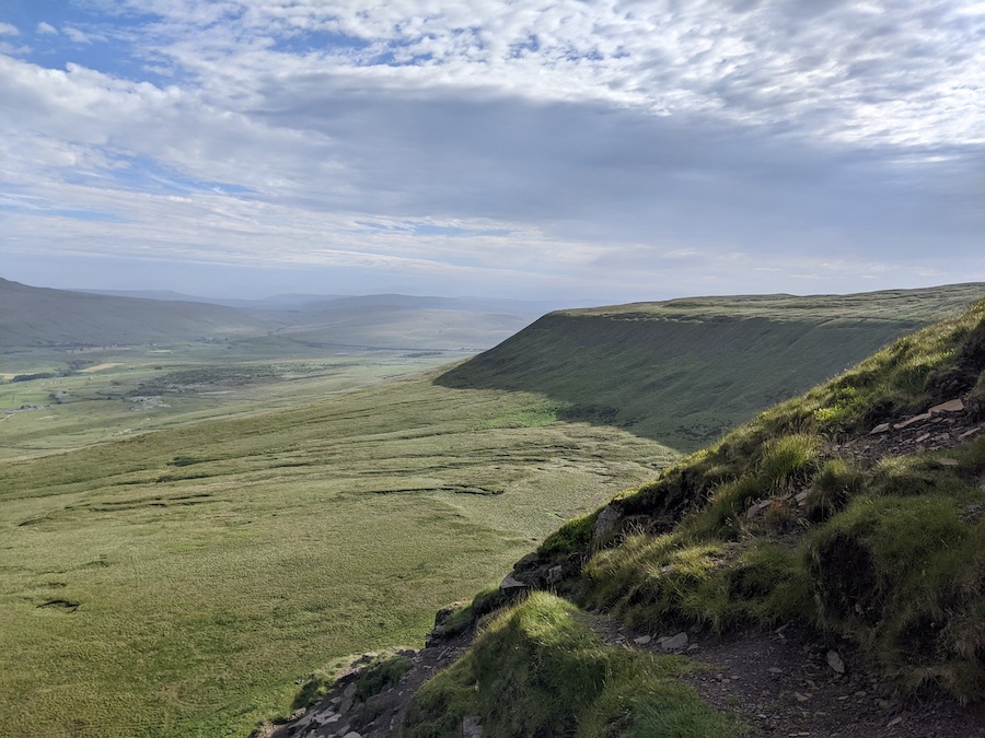
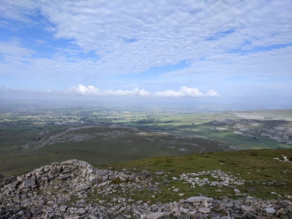
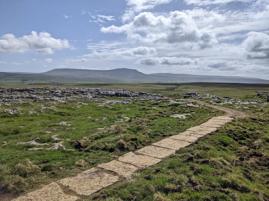
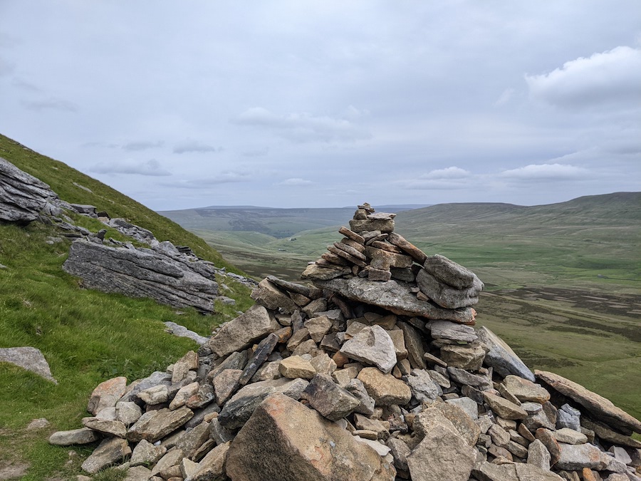
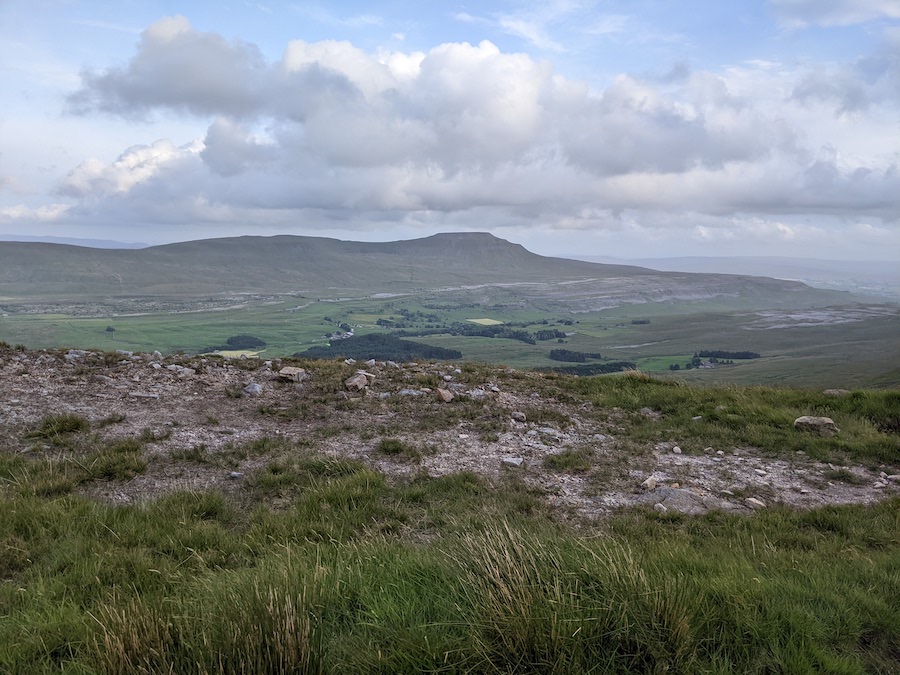
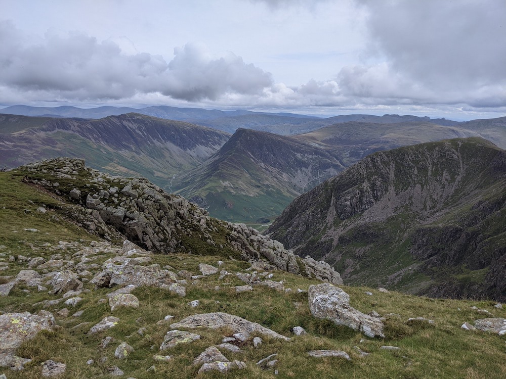
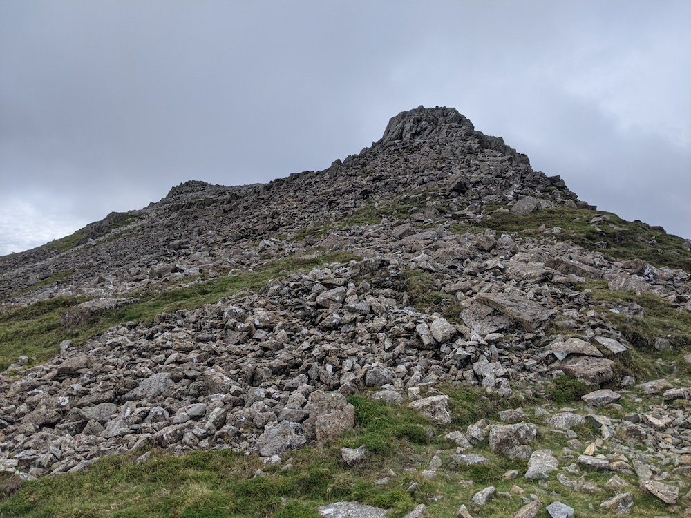
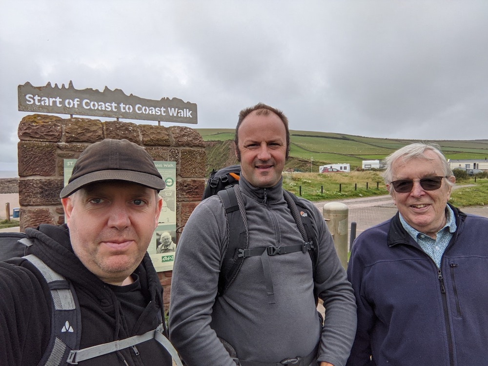
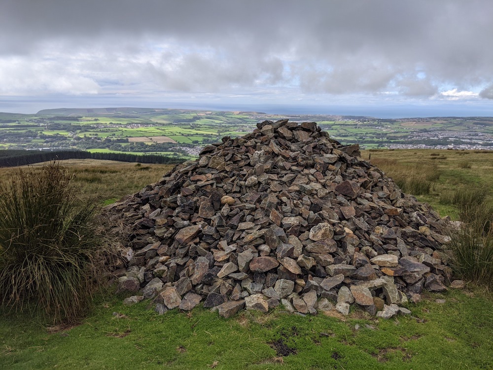
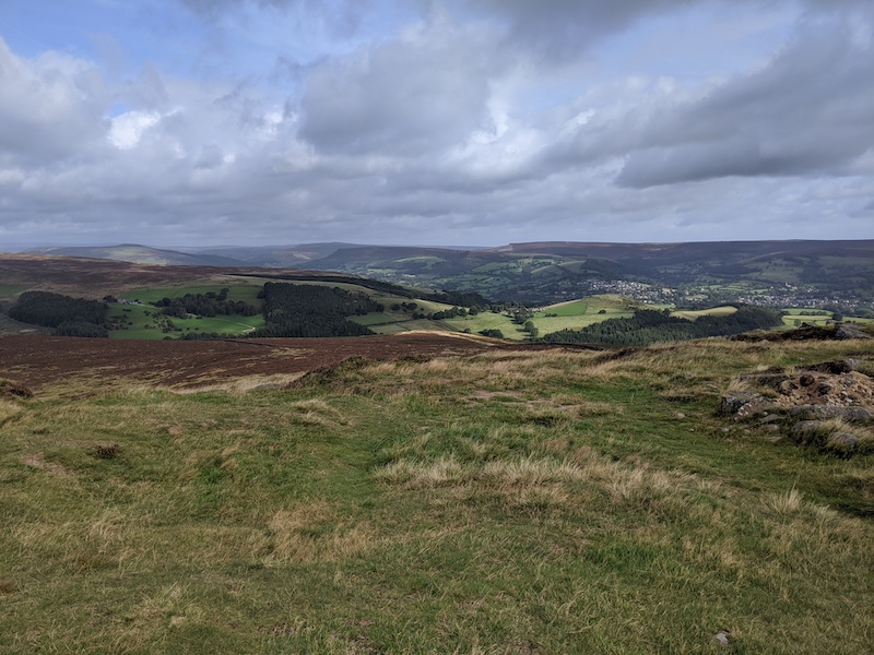
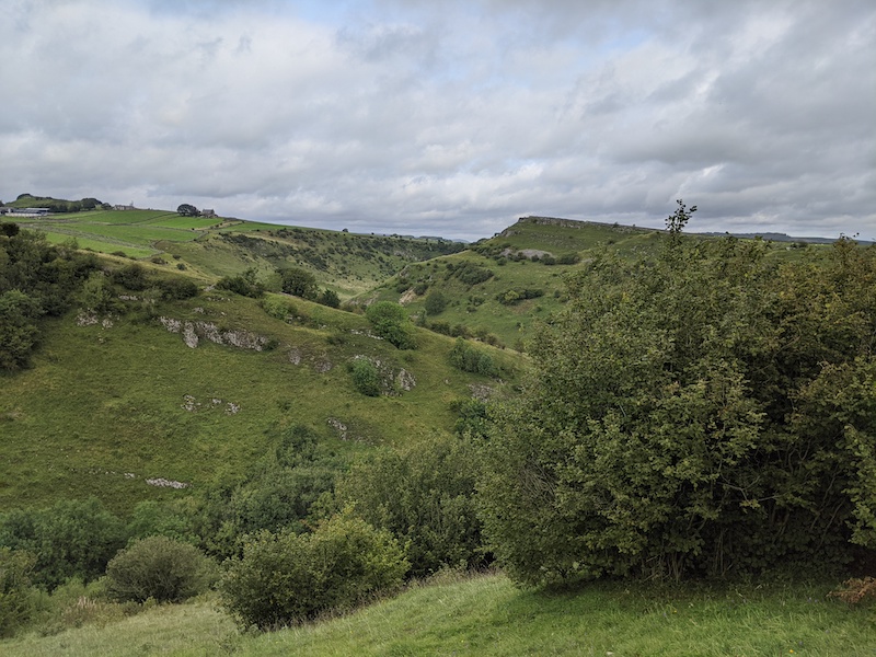
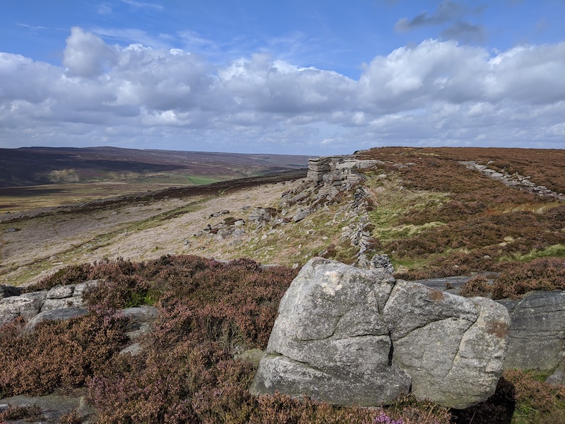
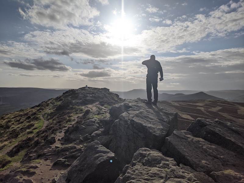
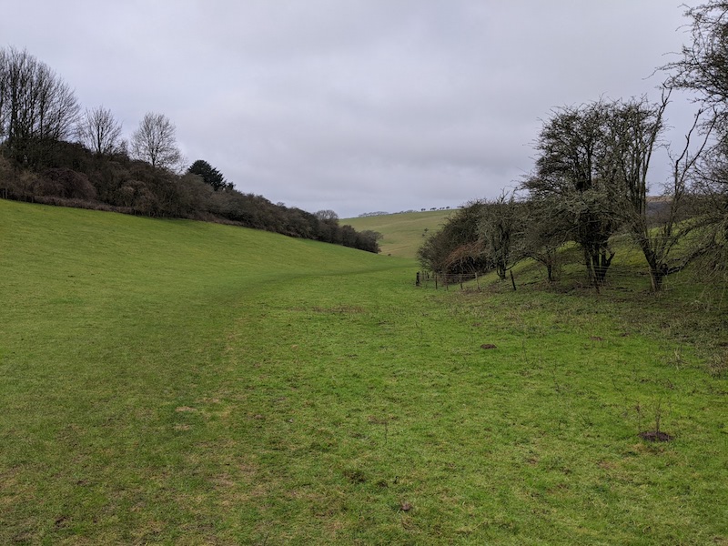
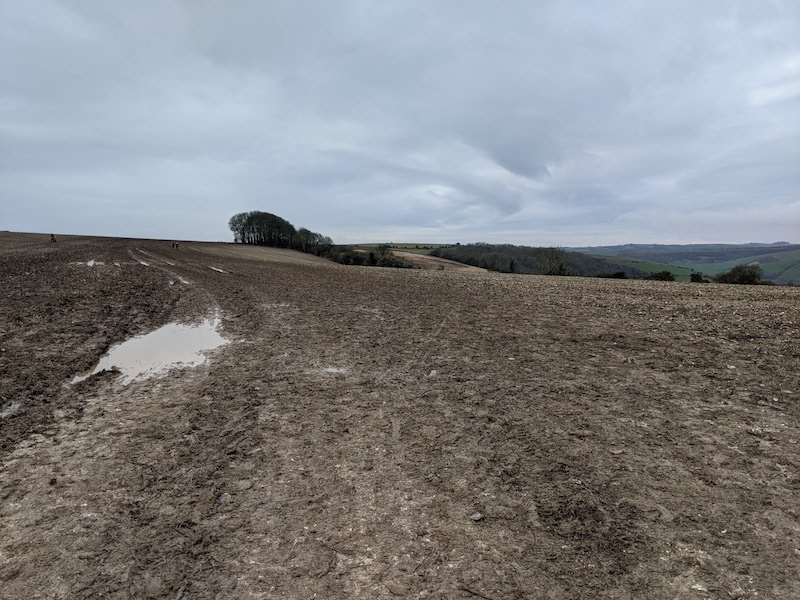
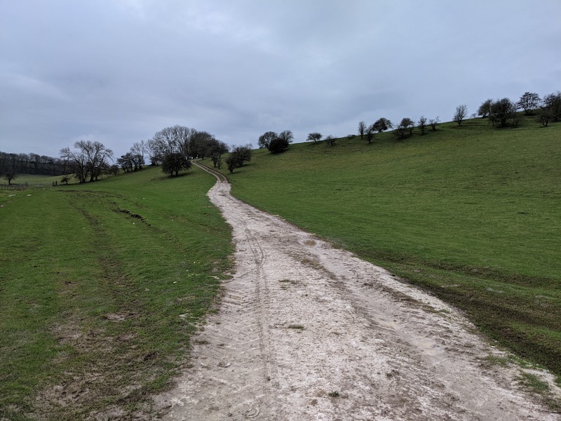
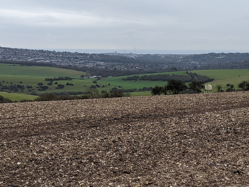
It’s not the beer or the blisters, or even the rain that I remember most fondly from the 287 miles of the Pennine way. And it’s not the views, which were better entertainment than anything I’ve seen on TV. No, the thing I loved most were the conversations with strangers along the way.

I’m quite shy and wish I was better at talking to strangers. But when you meet someone on a quiet path through bleak moorland, there are obvious things to ask: where they’ve set out from, are they walking the whole trail, are the conditions ahead any good? Sometimes you’ll stop for a couple of minutes; if you’re going the same way, you might fall into step for a time. The Pennine way is a community, a network of meetings and messages stretching up the spine of England.

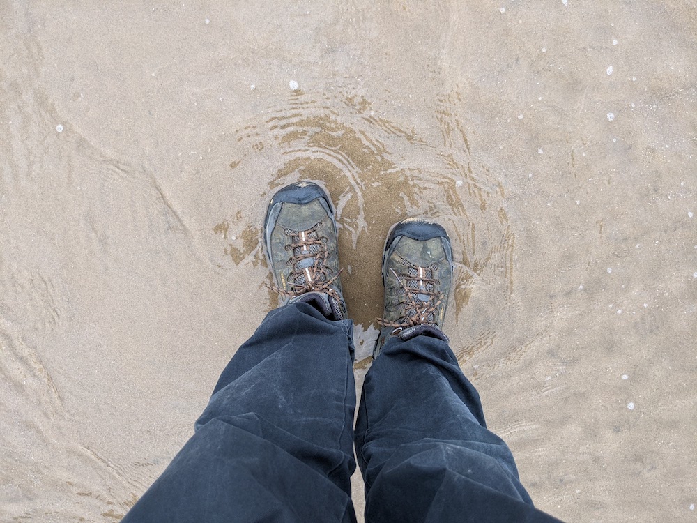
The first people we’d met, just out of Edale, had done the walk years before. Amazingly, they’d only seen 20 minutes of rain – which means I think they missed some of the essential experiences of the walk. It’s quite something to be soaked to the skin and know that I’d rather be tramping up that mountain than sitting dry in an office.

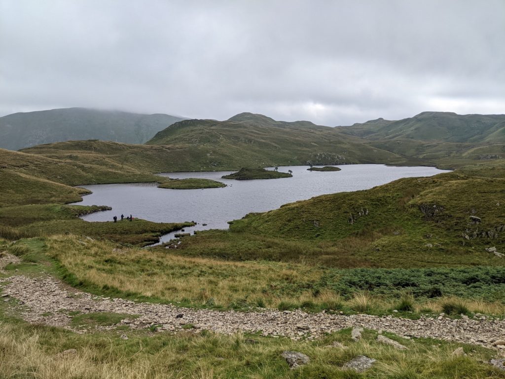
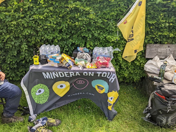
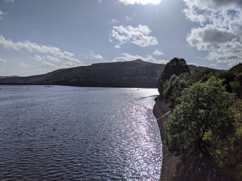
Some of the stopping points pass on the news of the day to everyone who passes. At a chuck wagon on the roof of the moors, we heard about someone who’d done a thirty mile stint that day; and about the Australian ahead of us. We finally met her at the end of an uphill slog out of Hebden Bridge’s valley, where she was sheltering in a bus stop. We spent the day walking together, chatting about life and the how we’d come to be walking. She’d chucked her job in favour of a series of adventures – after the trail would be a marathon in Iceland. We parted in the drizzle at the edge of a reservoir.

I’ve never been good at pub chat, but the Pennine Way is the banter equivalent of a stroll to the shops. The Tan Hill Inn, (the highest pub in the country), is like an inn from a fantasy novel. Over the evening, the entire dining room here merged into a single conversation between the different tables. We heard about the person walking North-South, forced to fill a carrier bag of snow, having run out of water on the first section. A couple had stopped in for a drink and ended up booking their wedding reception there.

In my metropolitan bubble, everyone I know voted the same way in the referendum. While politics didn’t come up that often, we learned that a walker we met a few days running had worked for a pro-Brexit think tank. But disagreements could be left aside. We met them at one pub that didn’t understand hospitality, refusing to sell our companion food since they’d arrived four minutes after the kitchen closed. We offered them our starters, sharing food with someone we might have found ourselves arguing with if we’d encountered them on social media.

The finest place was the last stop on the way. When I first booked the Hiker’s Way, I wasn’t sure I’d like it. On the phone, they didn’t sound best-pleased about having to cater for a vegan. But when we arrived we were welcomed with a cup of tea, our boots taken away to be cleaned.

The Hiker’s rest is different from the other stops as most people stay two nights, breaking up the final twenty-six mile section. On your first night, there’s a new-pupil feeling, with the returning guests seeming more established and experienced. The following night you’re the experienced one. And there were stories at the bar – about the lengths some hikers to go to reduce weight, about swimming the channel, and about the spine race, which takes place on the Pennine Way in Winter.

The guesthouses have their own communities too – if a walker is a bit of a handful then the message will go up the line ahead of them, letting other owners know that they might need their best diplomatic skills for this one.

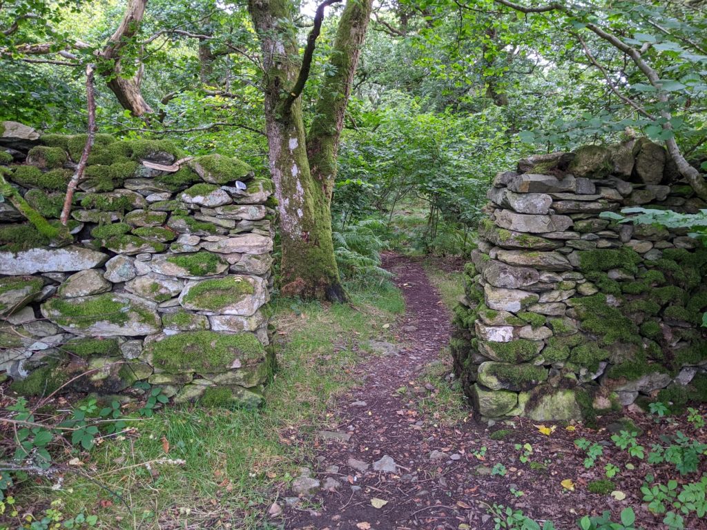
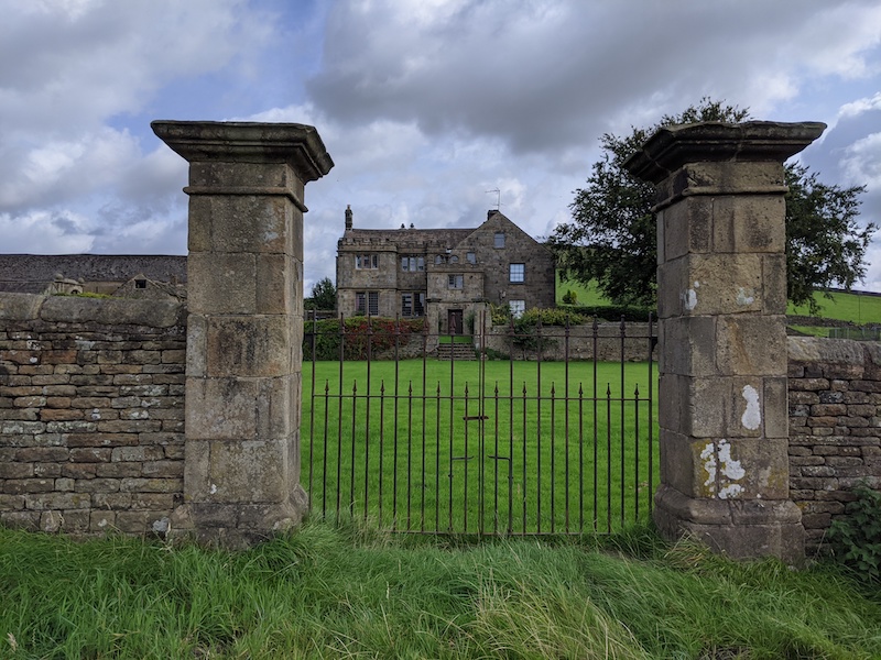
Whenever I passed houses for sale, I’d dream of buying them, spending my days watching the world pass by, trying to stop walkers for a cup of tea. I’d see ruins and feel sure that I could patch them up, given time. The path took us through a garden where a man handed us freshly-fallen apples from his pocket, the most delicious fruit I’ve tasted. Another farm offered a shed of supplies, and a kettle for tea. In the guestbook, walkers told how their walk had been saved by this intervention. They even had a shower, which might not have been hotel standards but I could imagine some for whom this was a lifeline.

There are the guest books too. We followed the stories of some of the people who’d strode ahead of is, like Emily who was walking from Lizard Point to John O’Groats. It was only the third night’s conversation when we learned it was not her first time walking the length of the country. We saw traces of people we knew in the message books in the bothies. Reading the tales of winter journeys made us grateful for the wet but warm weather we grappled with.

Wainwright loathed the Pennine way so much he offered a pint to anyone who completed it, at great expense to him and later to his estate. The prize is still there, taken over by a local brewery, who also hand out certificates. I bet that brewery makes their money back with the additional pints that follow the free one. And the final book, full of the statements of the other walkers – looking back we could find some of these other companions, from the hitch-hiker we’d collected near the start through to people we’d met ages before. And we added our own entries.

Even though thousands upon thousands of people have walked the Pennine Way, it is still alive with stories, and you can’t walk the route without adding your own.

Winter Walks

In the city, you can’t ignore the pandemic: covered faces, the rash of notices, people keeping their distance from each other. On my way out of Brighton, I even saw a masked statue (and I was disappointed that it had left its nose uncovered).

But out on the Downs ,it eases a little. Even if the conversation circles around the pandemic, and you’re still keeping a distance from your sole legally-permitted companion, life feels a little freer. It was cold on Saturday, but it felt good to be out.

Katharine and I had planned to walk to Ditchling Beacon. The route to the Beacon itself was muddy. While I enjoyed the slog, Katharine was not in the mood for half a mile of slippy, sticky mud. (Did you know that one book on Sussex Dialect lists 62 words that each describes a different texture of mud?). Instead we turned back and headed into a valley I’d not been through before, although I’d crossed it many times.

I’ve been enjoying Katherine May’s book Wintering, the perfect thing to be reading at the start of a bleak year:

Plants and animals don’t fight the winter; they don’t pretend it’s not happening and attempt to carry on living the same lives that they lived in the summer. They prepare. They adapt. They perform extraordinary acts of metamorphosis to get them through. Winter is a time of withdrawing from the world, maximising scant resources, carrying out acts of brutal efficiency and vanishing from sight; but that’s where the transformation occurs. Winter is not the death of the life cycle, but its crucible.

I love a good winter walk. The lack of leaves and the cold air gave everything clarity. The light has a different quality, the light diffused differently by the sun being lower in the sky.

Here is another truth about wintering: you’ll find wisdom in your winter, and once it’s over, it’s your responsibility to pass it on. And in return, it’s our responsibility to listen to those who have wintered before us. It’s an exchange of gifts in which nobody loses out.

from Wintering by Katherine May

We made our way to the Chattri. As it has been though much of the crisis, it was busier than usual. We stopped here for lunch then headed back into town before the rain settled in.

Review: The Book of Trespass

I had to get the Book of Trespass after reading a promotional interview with author Nick Hayes. It was fascinating and I was almost frustrated at how many other subjects it made me want to read about, such as the Harrying of the North or the King of the Gypsies.

The book is a history of trespass in the UK, along with Hayes’ accounts of his own incursions. Private land is something taken for granted in this country; so much so that, as Hayes describes, being told we’re trespassing has a near-magical effect, a speech act producing physical responses in the listener. By tracing out the history of land, Hayes shows us that this ownership is an invention. This history of property is embedded so deeply in our language that it is almost invisible. Hayes explains that that the word ‘forest’ derived from the latin word ‘foris’ meaning outside, alluding to how the forests were royal hunting grounds, outside the normal law of the land.

I’m not sure how well the accounts of trespassing sat with the scholarship. It felt, a little, like the book was trying to fit into the “man-has-an-adventure” genre. It’s not to say that the personal accounts weren’t fascinating, just that it felt like two books running alongside each other.

The book shows how many of the ills of the world are played out in the land, particularly in English land. While some on the right are trying to make the connection between British manor houses and slavery controversial, Hayes shows clearly that ownership of British land is still defined by the atrocities committed years ago. We are told that the crimes and lawbreaking of the past should be forgotten, while upholding the law in the present day; told that an arbitrary removal of this current property is an injustice. Looked at from one angle, this becomes odd and arbitrary. Why should land obtained by past theft be sacrosanct now?

While Hayes can see the importance of laws like the right to roam, he points out that such things also reinforce the idea that there is a set of land rightfully lost to us. Having read this book, it’s hard to see how Britain can really be a democracy when its property laws are so unfair; but the book also opens up possibilities.

One of the characters in the book is Richard Drax, MP for South Dorset since 2010. Drax owns over 13,000 acres of land in Dorset, among other holdings. Drax has strongly dismissed any criticism of his family and his fortune being linked to the slave trade.

You will have seen Drax’s estate if you’ve driven along the A31. It has one of the longest brick walls in Europe, and includes the striking stag gate. In 2013, Drax voted to increase curbs on immigration, saying “I believe, as do many of my constituents, that this country is full

As Hayes says (p371), “If England is full, it is full of space. And the walls that hide that”

A Visit to the Plague Village

I didn’t do a lot of travelling this year, but one place I stayed was totally on-brand for 2020: Eyam, the plague village. I picked this as an overnight stop on the White to Dark Trail, and only later remembered why the village was famous.

In 1665, some flea-infested cloth arrived in the town and people began to get sick. Precautions were taken, such as moving church services outdoors, and making families bury their own dead – which puts the current situation into a bleak sort of perspective. Eventually Eyam put itself into quarantine and local merchants delivered supplies to marked rocks. Holes had been made in these rocks and filled with vinegar to disinfect the money left in payment. The plague lasted over 14 months killing more than half the villagers.

The plague is marked by an annual event, but the 2020 Plague Sunday ceremonies were cancelled due to covid. We passed through the village the following month. Eyam is scenic, and the history makes it a popular stop for coach tours. It’s fair to say that Eyam has made the best of their connection to the plague history. The village is filed with weirdly jaunty signs describing the horrors that happened there. Ironically, Covid meant that the plague museum was shut.

Death Stranding

Last weekend, I finished playing Death Stranding. It’s a strange game, and sometimes frustrating – not least for the ending: 40 hours of play was rewarded with hours of cut scenes to explain the plot. Still, now I’ve completed the main story, I can focus on the bits I like – making deliveries and connecting preppers to the chiral network.

Death Stranding is a game about deliveries, about taking parcels between isolated people who are unable to leave their homes. Yes, for a game released in November 2019, just before the first confirmed case of coronavirus, it’s weirdly prescient. During March, I actually spent time in the real world dropping off food and medication to people who were shielding.

My biggest frustration was with how the game shifted genre. I wanted to play a game about building and connecting, and resented being forced to pick up guns to fight people and bosses. I was at my happiest making long, lonely hikes across mountains. One of the big criticisms I’ve seen of this game is that it is simply a ‘walking simulator’. I cannot underplay how wonderful I found the portrayal of walking. It felt very close to my personal experience of hiking over rough terrain and picking the best route.

The other great thing about the game was its asynchronous multiplayer elements. You can use infrastructure created by other players and are rewarded when they use elements that you have created. I’m not quite sure how it works, but it’s fun and effective. I do wonder how this will work as the game ages. Will these connections decay as players move away and, eventually, the servers are switched off? This would be a tragedy.

One surprising thing was how traumatic some of the game’s themes were, featuring bereavement, miscarriage and mourning. It wasn’t exploitative, but it can’t be easy for everyone to deal with. In addition, after Anita Sarkeesian’s excellent work on Tropes in Gaming, it was disappointing to see a female characters made sexually vulnerable to add jeopardy.

But the game sticks with me. As I played, I found myself thinking about incomplete deliveries the morning after a session. I felt acutely the incompetence when I arrived at one destination to realise that I’d left the cargo behind.

I’ve had a week off the game, but I’m planning to return to the world of Death Stranding. I may have completed the main story, but the game allows you to continue making deliveries and building infrastructure. I’m looking forward to heading back into the mountains and visiting some of the places I missed first time round.