Walking the Coast-to-Coast: Blakey Ridge to Robin Hoods Bay

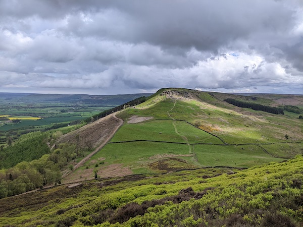
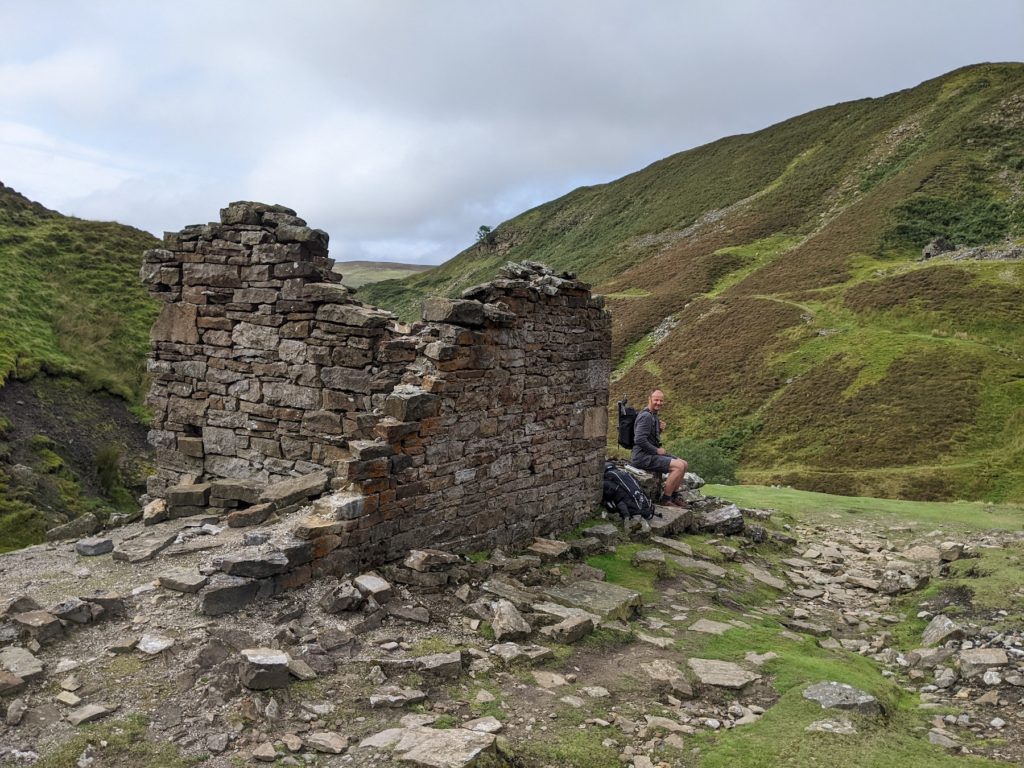
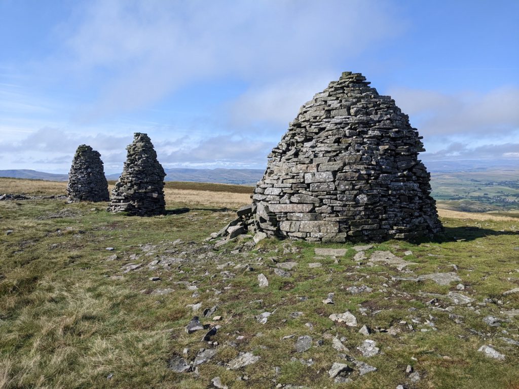
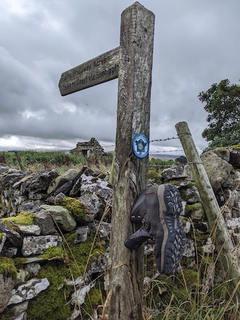
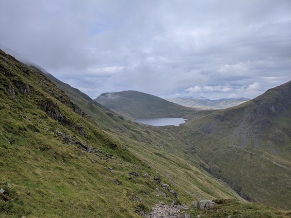
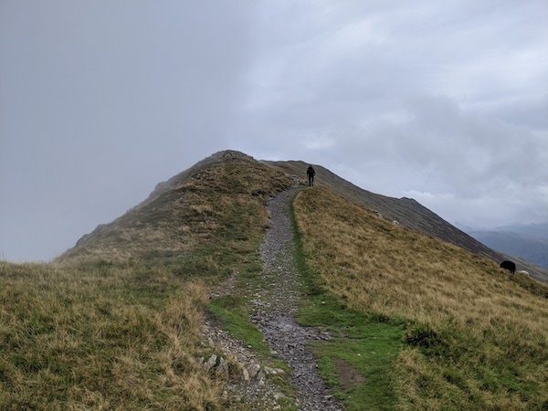
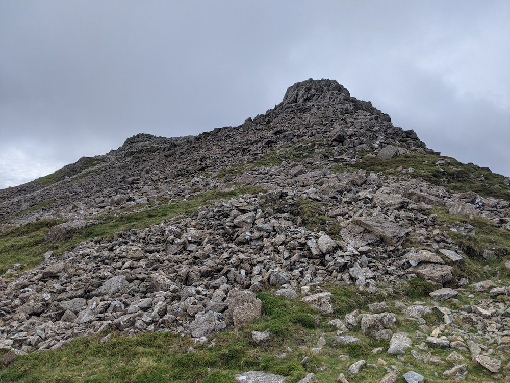
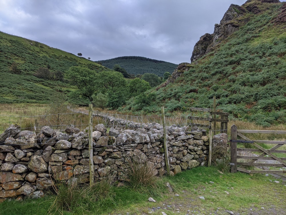
The last two sections of the Coast-to-Coast followed a rather circuitous route to the final destination of Robin Hood’s Bay. The penultimate day started with a long walk that followed a huge circle, keeping the Lion Inn in sight for a long time.

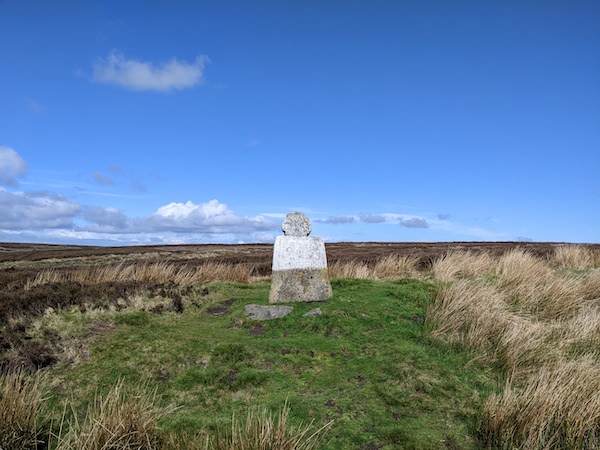
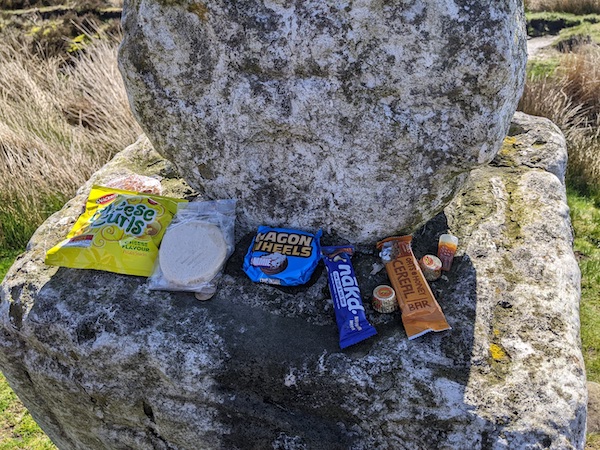
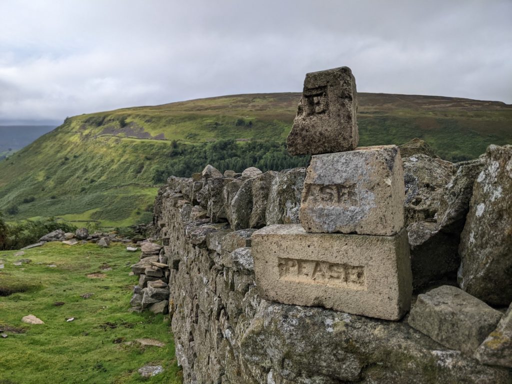
That day’s first landmark was Fat Betty, a mediaeval marker stone. The guidebook says that the tradition is to take one of the items of food left on this stone and replace it with something else. It was apparently a tradition to leave gifts at such places, but I’m not sure how this has shifted to the idea of exchanging items.

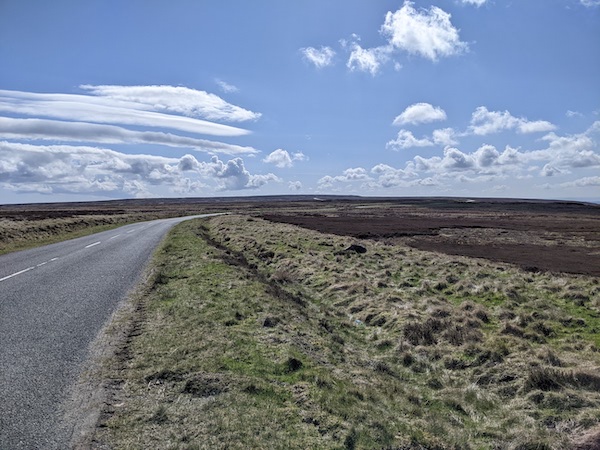
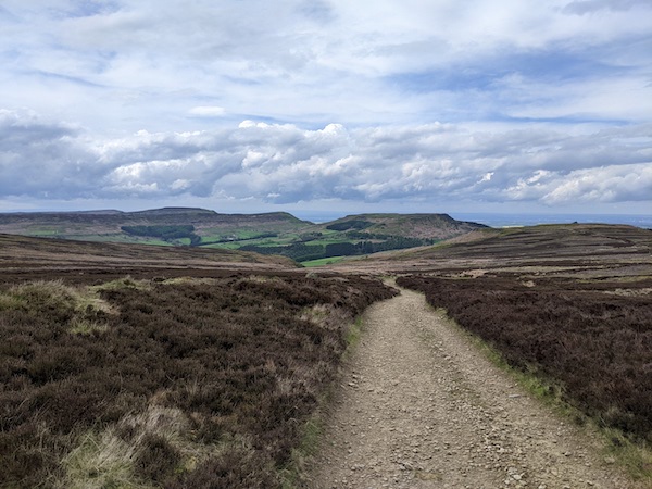
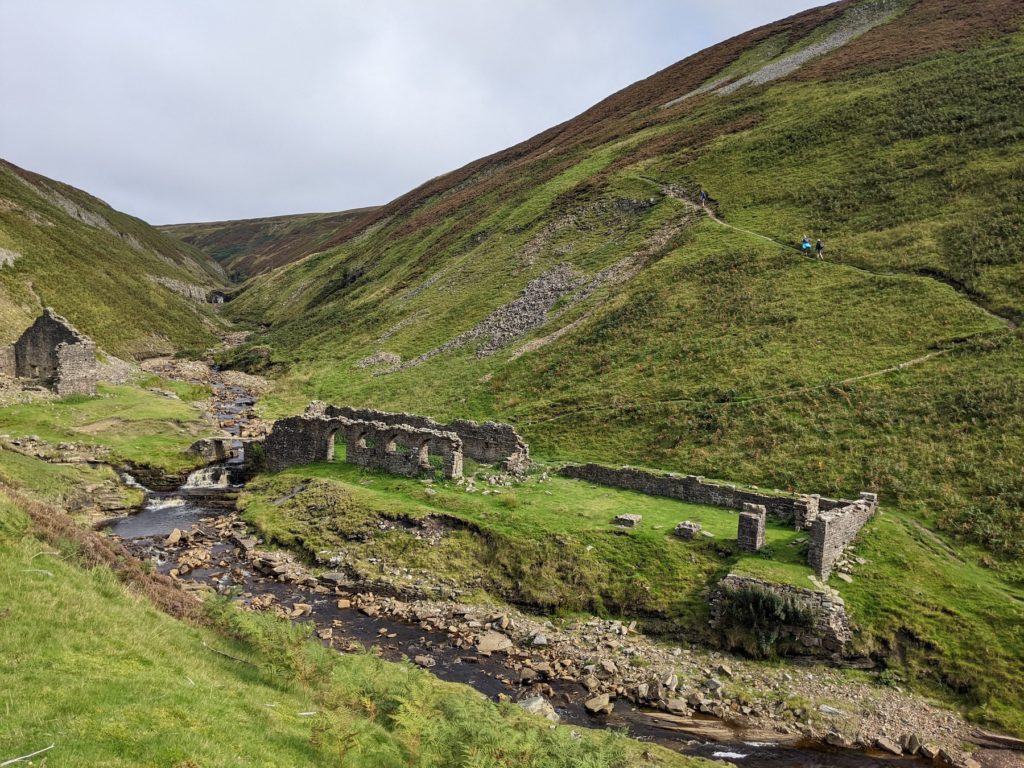
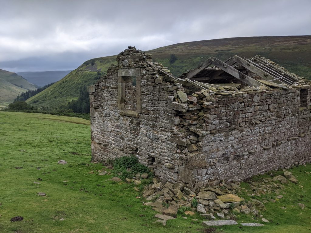
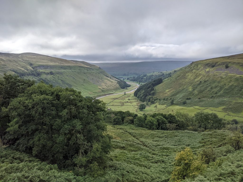
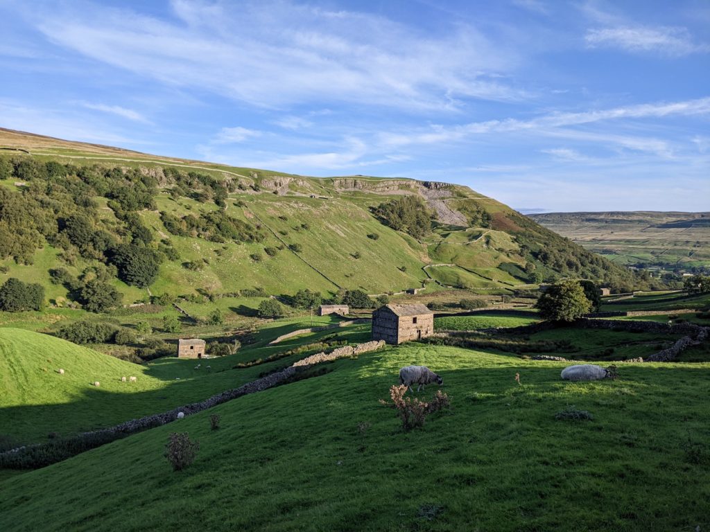
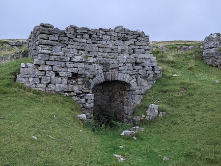
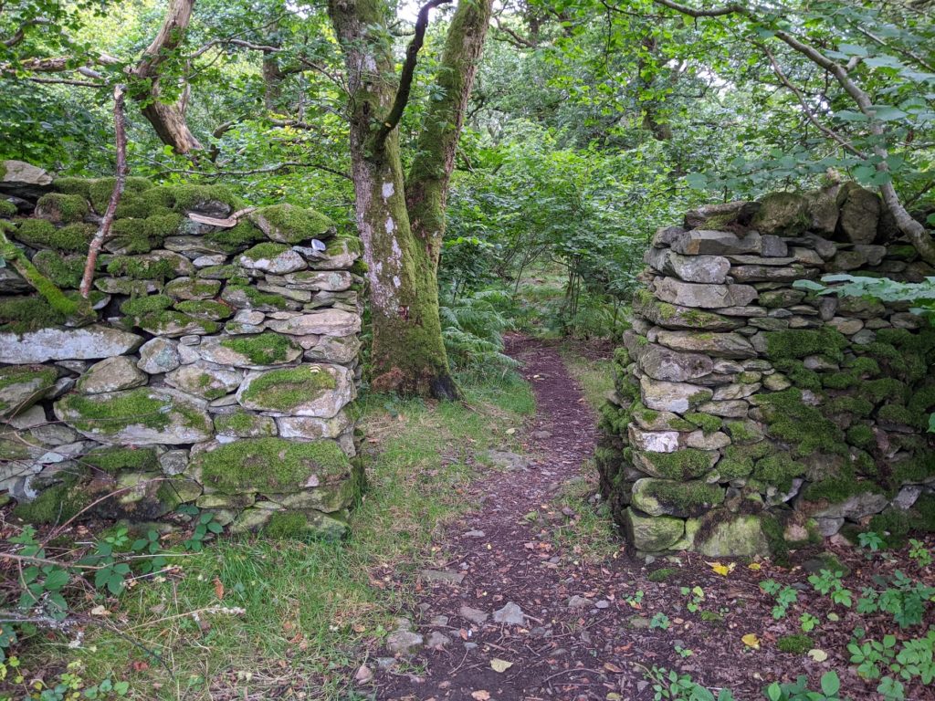
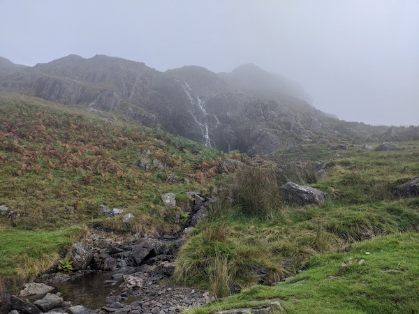
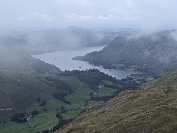
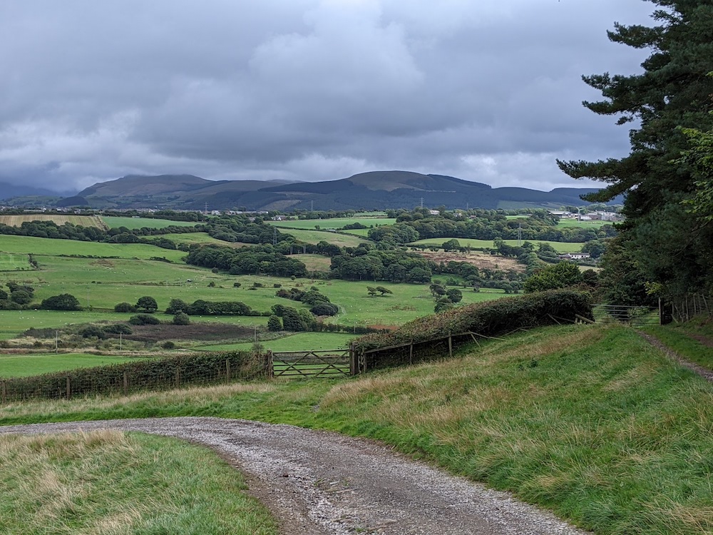
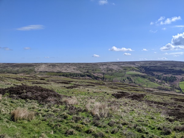
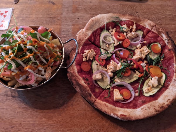
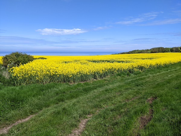
The penultimate day has some boring roads, but set in beautiful countryside, including the gorgeous Great Fryup Dale. We passed through Glaisdale, which was mostly closed, and we did not have time to visit the boutique Museum of Victorian Science. The Horseshoe Hotel had some great vegan options which seemed heart-breaking as I was too full to eat.

Despite being on the Coast-to-Coast, and being on the North Yorkshire Moors Railway, Grosmont had no decent options for food, so we ended up taxi-ing back to the Horseshoe Hotel, where the food was as excellent as it appeared.

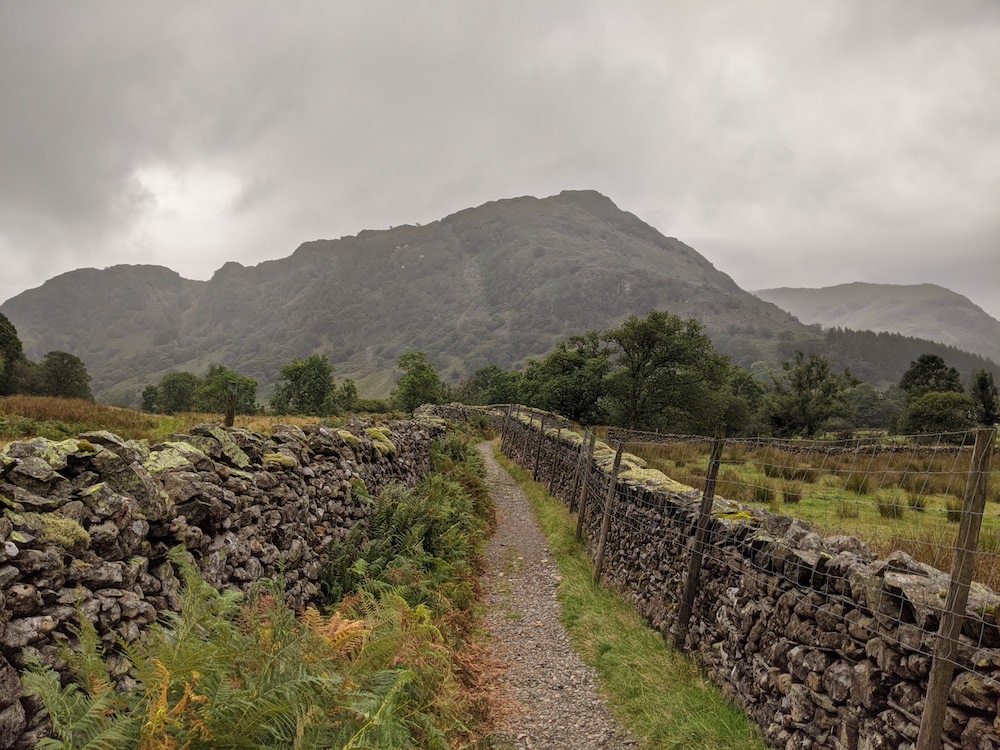
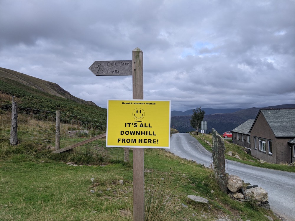
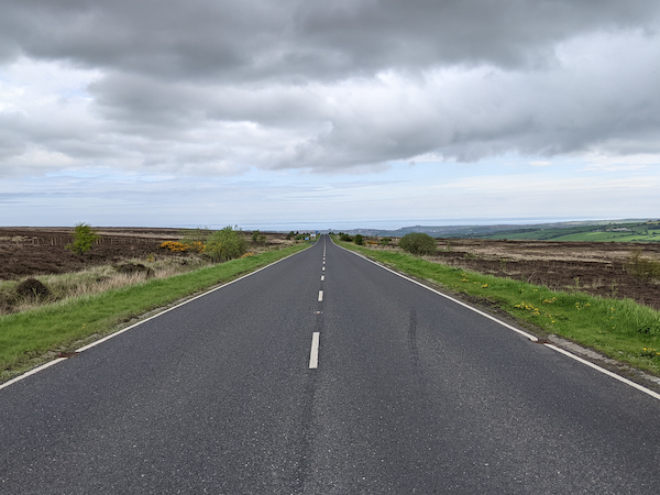
The final day’s route was even more wiggly than that of the penultimate one. It started with a cruel climb out of Grosmont. During this stretch one of my toenails began cutting into a toe, drawing blood. I was lucky that Dave had some scissors with us for me to trim this. Something else to remember for future planning.

More road walking on the final day

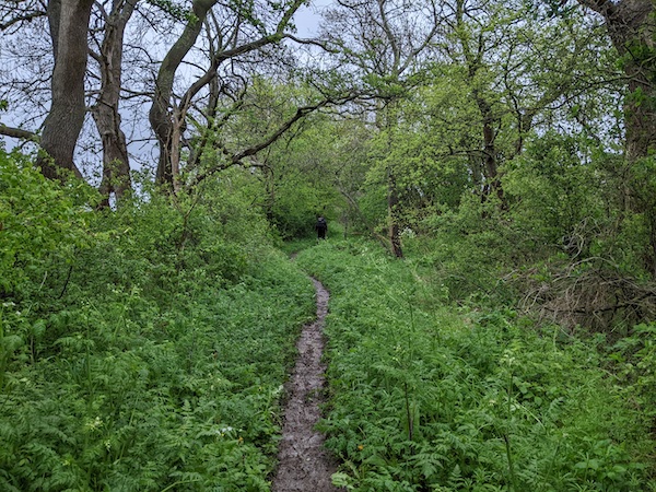
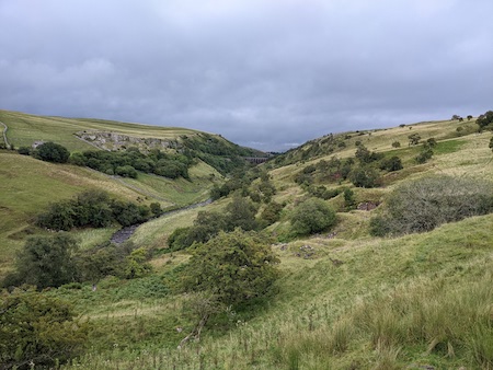
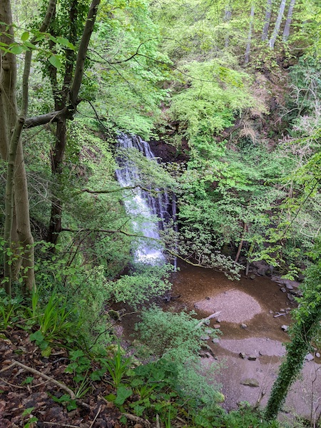
The route took us into Little Beck Woods where we stopped for coffee at Falling Foss just as the heavens opened. We waited out the sudden storm with some excellent coffee and cake. The rest of the day’s weather was fantastic.

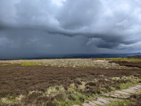
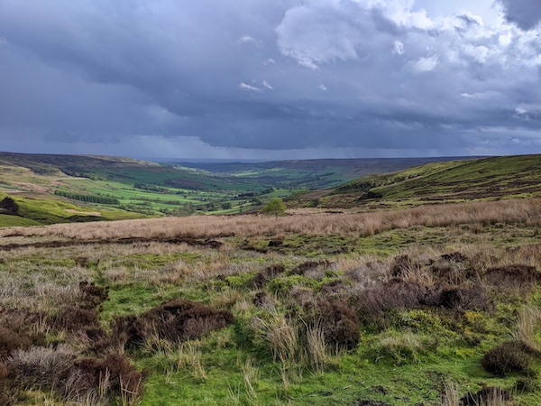
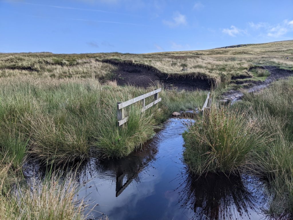
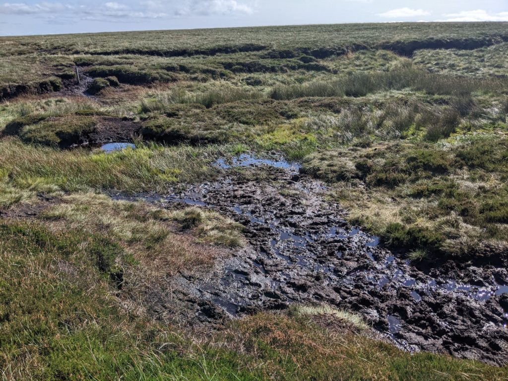
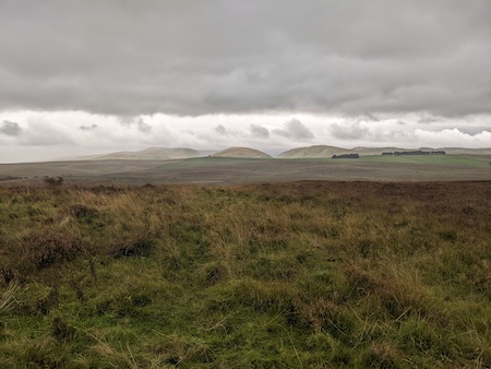
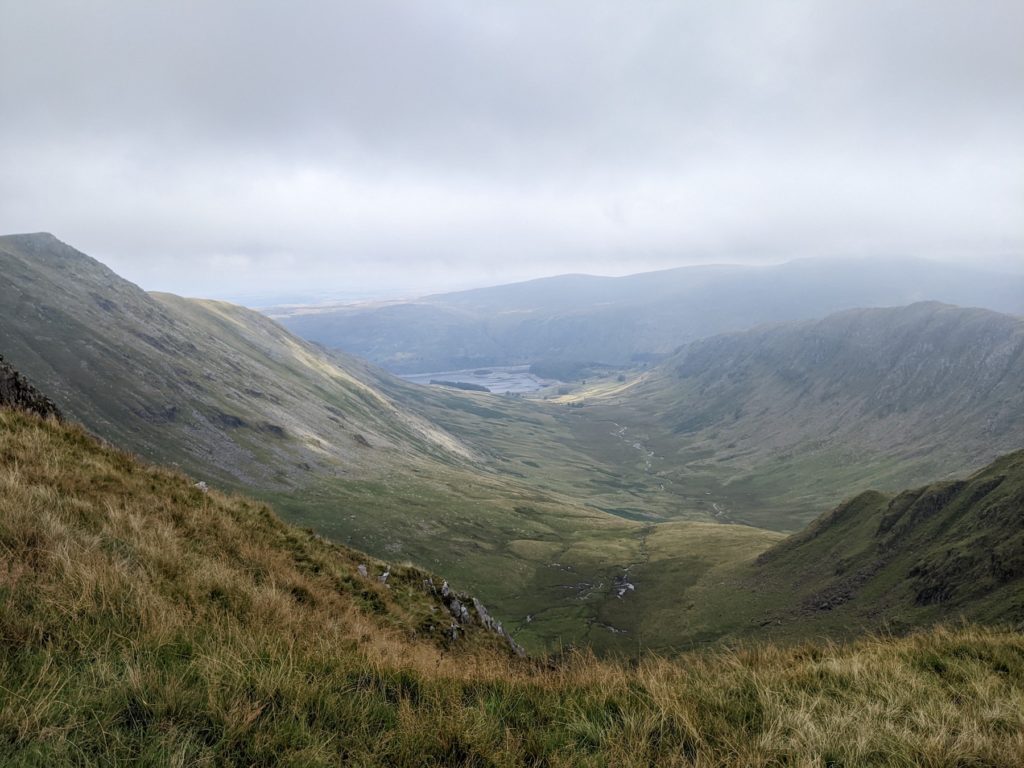
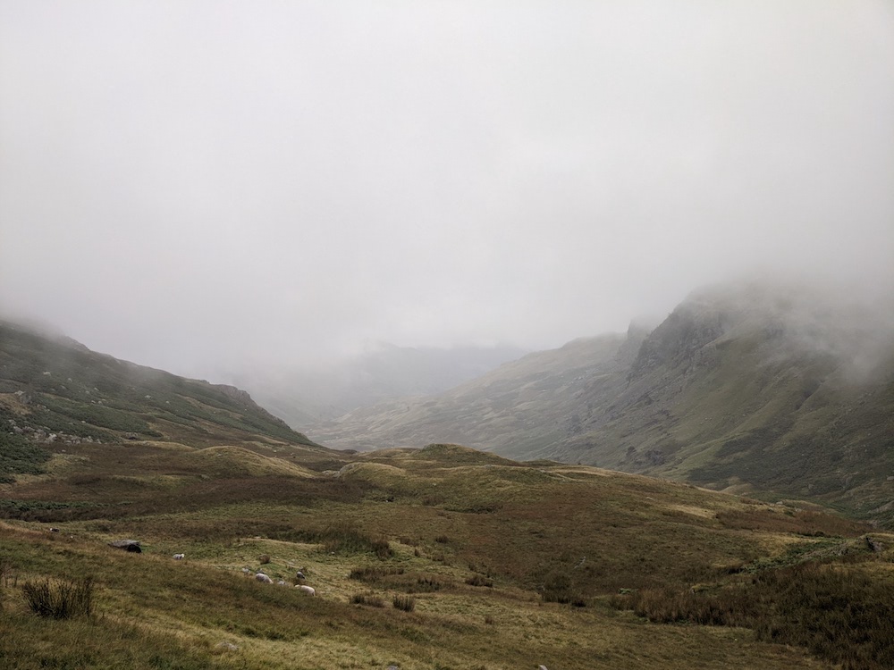
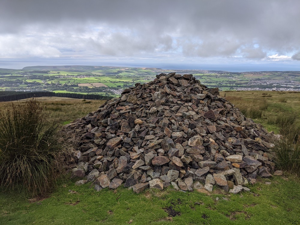
The route continued through boggy moorland and quiet roads. We got chatting with a runner who told us how he’d taken up running when he was 55 with a 48-inch waist, and was now into ultramarathons. Very inspiring.

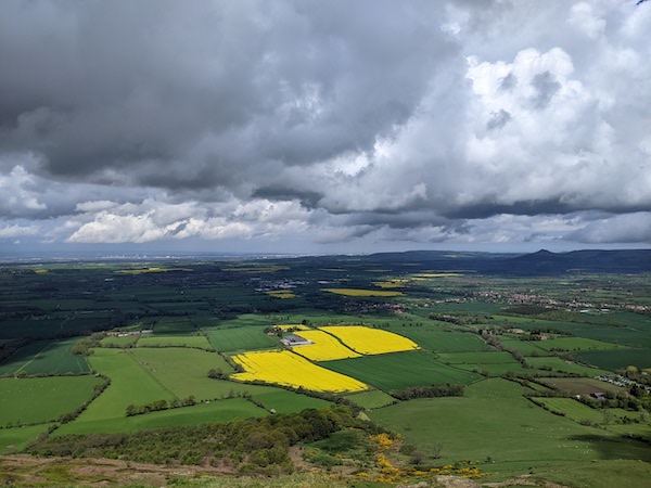
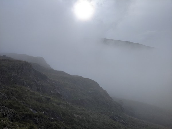
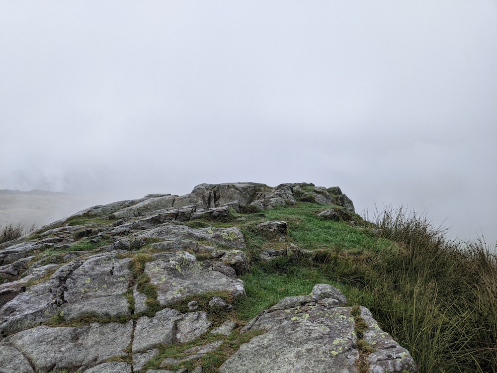
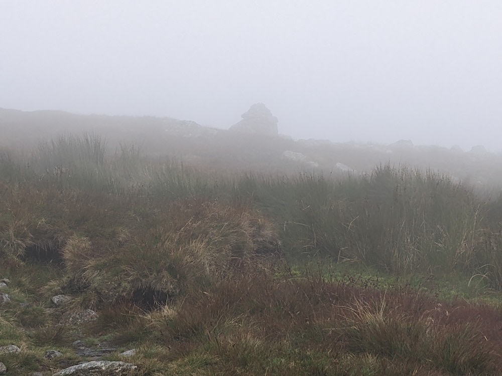
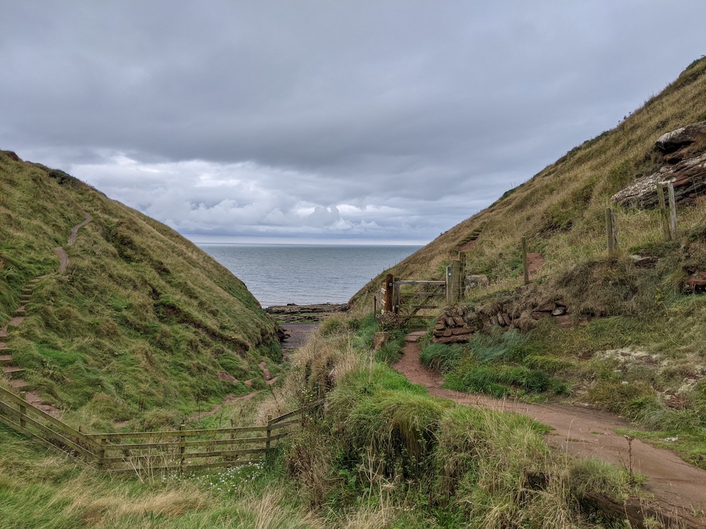
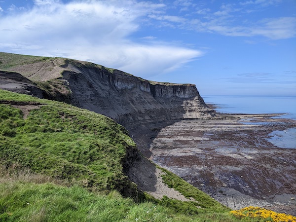
The final stage of the walk took us across clifftops heading south towards Robin Hood’s Bay. We were blessed with perfect weather for this section – I’ve talked to people who found themselves finishing the route in thick mist. We booked to stay overnight, which meant we had to travel back through a rail strike, which was a frustrating end to a good walk.

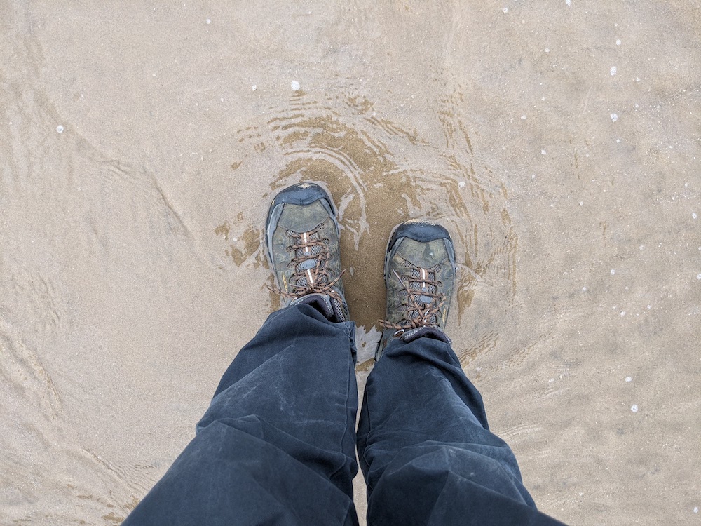
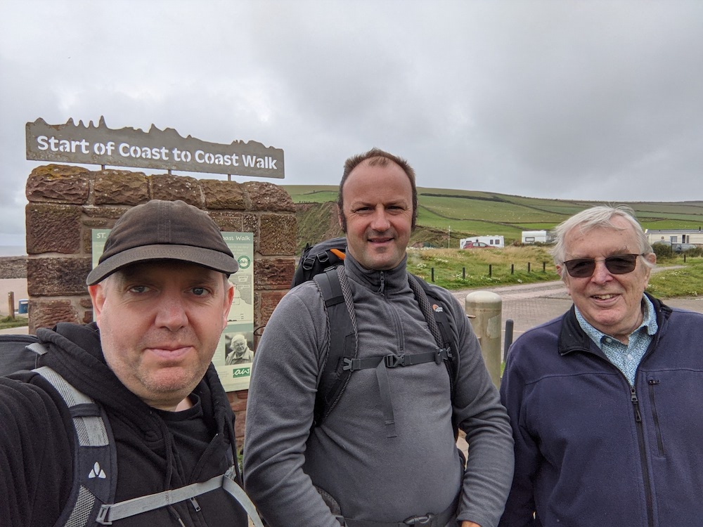
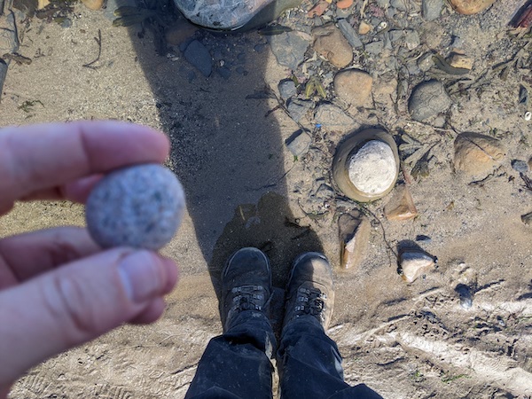
Tradition dictates that you carry a stone from St Bees Head to Robin Hood’s Bay. We walked the route in three stages, but I somehow managed to keep track of my pebble through two house moves.

Having done five national trails, the Coast-to-Coast is the one I would most recommend. At 190 miles, it can be comfortably completed in under two weeks. It’s well-organised and extremely friendly. I think the Pennine Way is a better walk, but the Coast-to-Coast is much more engaging.

Walking the Coast-to-Coast: Northallerton to Blakey Ridge

This month I did the final section of the Coast to Coast, having walked the earlier parts of it in September 2021 and September 2022.

We rejoined the trail from Northallerton on a rainy Bank Holiday Monday. By the time we reached our starting point of Oak Tree Hill, my boots were damp. They stayed damp for several hours as we tramped through farms and muddy trails. Any long trail will have fill-in days that merely connect interesting parts, and the section from Richmond to Ingleby Arncliffe was an example of this. The landscape was flat and the route included a lot of tramping down roads, so I was glad that we’d chopped it into two. While it’s always good to be out hiking, some days are definitely better than others.

The Coast-to-Coast is by far the friendliest trail I’ve been on. Most of the venues along the way are friendly, both in terms of owners and other hikers. There are also a lot of honesty shops along the way, including a spooky one at Wray House Farm.

Our first day ended with a dash across the A19 at Ingleby Arncliffe. Apparently this section of the route was going to be diverted, which would have meant the closure of the Blue Bell Inn, but local MP Rishi Sunak persuaded the Treasury to fund a footbridge. The Blue Bell Inn is another excellent Coast to Coast venue, with various vegan options and lots of other hikers dining in.

Our second day was an epic 21-mile trek which I’d not broken up as I wanted to end the day at the Lion Inn on Blakey Ridge. We started with an epic climb through Arncliffe Wood, where we joined the Cleveland Way. There were some lovely moorland sections and we somehow avoided the worst of the weather on the flatlands below us.

We stopped at Lord Stones, which I’d expected to be a pleasant place to grab lunch. The staff were rude, the coffee was terrible, and outdoor speakers played grating music. Given the excellent welcome in most other places, this was a rare discordant note.

The middle of the day included a series of sharp climbs before a long road the wound out towards Blakey Ridge. The section ran along an old railway line and was a slightly dull end to a long day – Map 80 in my guidebook was almost entirely blank. I was tired and could feel myself slowing as the weather came in. We heard thunder, and I spotted some lightning, but the worst of the weather held off.

On the drive to Northallerton, I told Dave that I’d not called ahead to check about vegan food options. He laughed so much I thought he might crash the car. In the past I’ve had some underwhelming experiences, particularly for breakfast. Going to a remote pub did not seem like a great prospect for vegan food.

Well, I’m pleased to say that the Lion Inn is probably the best pub I’ve ever been in. We were warmly welcomed by lovely staff, there were seven vegan options on the menu, and the place was bustling. We were too tired for the public bar, but it was packed with people who’d driven out to the middle of nowhere on a Tuesday night. This is a place so good I’m considering coming up for a stay another time. It was the perfect place to recover from a long day’s hiking.

Coast to Coast Day 8: Keld to Reeth

Sometimes, when you’re walking a trail, you have a day that starts out as incredible then deteriorates to slogging along a tedious track. The walk from Keld to Reeth was an example of this. The first few hours were some of the best hiking I’ve done, with great views and curious ruins. Then we spent a few hours following a relatively boring track into town.

This was another day with a choice of routes. We took the high route, though the old lead-mining ruins. We heard from other hikers that the lower route along the Swaledale Valley was also pretty spectacular.

The route took us past into a series of valleys filled with the traces of lead-mining. It was obviously a grim and remote job, being some way from the nearest towns.

We stopped for lunch in the Blakethwaite ruins, by the side of the river. It was a fine place to linger for a break, since the day’s distance was only 11 miles.

The tone of the walk changed after we climbed out of this valley. We found ourself in an area where quarrying had stripped off the top soil. It was desolate, and one group of hikers we met had filmed videos of themselves pretending to be astronauts on the moon.

From there, it was a long slog along the track. Grouse hunters were out in force, despite the period of national mourning. There’s a long tension between walking and grouse-hunting, which reached a high-point at the Kinder trespass. Grouse-hunting seems an odd ‘sport’, with people paid to drive the animals towards the shooters, and others paid to reload the guns. Seeing the landscape taken over for such a vile activity is disappointing, and added to my frustration with the rather boring track.

We eventually made it to Reeth, which is one of the most beautiful villages I’ve seen. The central green is on a gentle slope with some amazing views, and the local ice-cream shop had an impressive vegan vanilla flavour. The town seems to have been hit by hard times, however, with a number of businesses for sale or even closed, despite there still being a few weeks to run of the season.

Coast to Coast Day 7: Kirkby Stephen to Keld

The 13-mile journey from Kirkby Stephen to Keld was an exciting one. It took us from the town up to the Nine Standards, a line of tall cairns; from there we crossed a boggy area before descending to Ravenseat Farm, and onward to Keld.

The guidebook made the marshy section sound imposing, describing it as looking like “a scene from the Somme, circa 1916”. It went on to talk about people getting swallowed by the murk, and someone who broke a wrist when their walking pole was taken by the bogs. It didn’t sound all that much fun. There is a choice of three routes on this section, dividing the path up by the time of year, and it was hard to get a grasp of which one was best.

But, before setting off, we visited the church in Kirkby Stephen, where there was an excellent 8th-century carving of Loki (disappointingly labelled as a devil by the superstitious peasants who ran that church). Kirkby Stephen also apparently has a flock of parrots but we didn’t see them.

The climb up to the Nine Standards was fairly easy, and the views from the top were epic. I’d seen them from a distance on the Pennine Way a few years ago, and it was good to be standing there.

The bogs were just tricky enough to be fun, forcing Dave and I to look for crossing points and occasionally leap over the mud. We mostly got through OK, although I managed to go in up to my shin. I could see how these might be tricky, and we met one person who’d had to quit the C2C the year before after pulling a muscle escaping the muck.

a scene from the Somme, circa 1916

From there we descended to a river that was followed to Ravenseat Farm. Not watching TV meant I missed the excitement of being at the Yorkshire Shepherdess‘s farm, although a selection of books and jigsaw puzzles were available at the drinks van. Sadly, vegan cream teas were not on offer.

Isn’t this a great view?

The day’s stage was relatively short, finishing at the Keld Lodge, where people were sat outside. Everyone who passed was encouraged to join for a drink and we all swapped stories about crossing the bogs. Dave and I stayed at Greenlands B&B, a little way out of town, where we were well looked after. The views from the patio across the valley were absolutely stunning, and the food was excellent.

Coast to Coast Day 6: Shap to Kirkby Stephen

One way I evaluate a day’s hiking is by seeing how many photos I took. Stage 6 of the Coast-to-Coast produced relatively few. According to the book, the hike was 20.5 miles, although I think that was a slight over-estimate. Despite the distance, the book described this as a ‘recovery day’, given the flatness and soft ground. Dave was convinced it was going to rain, but I insisted it wouldn’t. Fortunately I was correct.

The route included a number of historical sites – a couple of stone circles, and ‘Robin Hood’s Grave’, all of which we managed to miss. Otherwise, it was a fairly standard countryside hike – better than a day indoors, but suffering in comparison to the stunning views the day before.

Personally, I struggled with the day. I was wearing the wrong socks and had still not adjusted my new rucksack correctly. The walking was a slog and it was probably a good thing we didn’t have any hills. It was only the last mile or two when I finally felt comfortable.

At various points along the path we saw signs asking people not to pee along the route. And I can understand the sentiment here – nobody wants to be confronted by other people using the great outdoors as a toilet. But, at the same time, I’m not sure what the alternative is here. The route is a 7-10 hour hike with no facilities. Any adequate hydration is going to mean people need to stop at some point. I’m really not sure what the signs are meant to achieve.

I was relieved to arrive at Kirkby Stephen, and in time to buy some bath salts at the chemist. I spent an hour soaking in the bath, reading No Country For Old Men, and trying to soothe my aches. We ate in the local curry house. I was excited to see a Scotch Bonnet curry on the menu, and a little disappointed that they seemed to have used Encona sauce rather than fresh chillis.

Coast to Coast Day 5: Patterdale to Shap

After a year’s break, my brother-in-law Dave and I continued our walk on the Coast-to-Coast trail earlier this month. We’d finished last year’s leg in Patterdale, which meant starting again with a massive hill.

The walk from Patterdale to Shap was 15 miles or so, and the last section of the walk based in the Lake District. The walk to Angle Tarn was worth the effort, with some stunning scenery. I was definitely fitter than the year before, but I compensated for that by poor packing, carrying too much in a badly-adjusted brand-new rucksack.

Kidsty Pike was the high point of the day, with a wonderful panoramic view.

From there we made a steep descent to Haweswater Reservoir. It was striking how close the reservoir was to running dry. The guidebook cautioned us that the waterside path was not gentle, rather it would have us “panting like a hippo on a treadmill”. We did see a red squirrel in the woods though.

After that, some pleasant woodland walking followed until we reached the ruins of Shap Abbey. The village was only a short way beyond that, and it was good to be able to take off the rucksack and rest.

Coast to Coast Day 4: Grasmere to Patterdale

We started day 4 in full waterproofs, prepared for rain.

On our walk from Grasmere, Dave spotted a red squirrel. It was very accommodating, not running away until it was sure I had a clear photograph.

Despite the ominous clouds, the weather decided against rain, so we soon removed the waterproofs again. The day was similar to the others, in that we started in a valley, climbed our way out of it, then descended into another valley.

The initial route took us up past Great Tongue to Grisedale Tarn, where we had a choice of three paths. The easiest was a gentle stroll along the valley floor to Patterdale; the other two ran along either side of the valley. The book warned against the higher one if you had any vertigo. Given my dodgy balance that was out, but the other high route promised some of the best views of the trail.

Grisedale Tarn was beautiful. A farmer was rounding up his sheep, and the valley was filled with the noise of bleats, bells, and farmer’s calls. A few people had camped at the water’s edge, and were waking to this beautiful sight.

The climb took us onto a ridge that led to the Cape, an 841 meter peak. It was a simple day’s walking, but very satisfying. I was convinced that I could see the sea from the hilltops.

`From there it was a steep walk down to Patterdale Village, and the end of our first section of the Coast-to-Coast. The weather had not been great, but we’d been lucky with the views, and the rain could have been much worse. We stopped about a quarter of the way through the trail and will be resuming in May.

Coast to Coast Day 3: Rosthwaite to Grasmere

The area around Rosthwaite has the highest level of rain in the UK, and at breakfast on day 3 it looked like we were in for a damp day. We ate in the hotel, where I made do with whatever vegan items I could find, then we set off.

Wainwright suggested walking from Rosthwaite to Patterdale in a single day, along with some optional climbs, but that seems a lot. Like most people, we were going to break the day in two, which also had the advantage of allowing us to explore Grasmere, one of Rosy’s favourite places to go on holiday.

The day’s walking began following a river before a long, slow ascent. The highest point was only about 400m, but this still felt challenging. We followed the path higher up the valley until we reached Lining Crag, where the footpath seemed to become almost vertical. We checked the map, but this was definitely the way. The climb was not quite as steep as it looked from below, but was still hard work. I looked back to see some other walkers checking the map the same as I had, sure the path couldn’t be taking that route.

At the top of the climb we found ourselves in thick cloud and, once again, wandered off-trail. We’d talked about our mistake the day before, and realised that we had jumped to a conclusion. If we’d checked the compass on our phones, it would have been obvious we were going the wrong way. We retraced our steps, and found the path again, along with another walker who confirmed we were on the right path.

(I should add here that relying on phones for wayfinding was irresponsible and possibly dangerous. For the next section of the Coast-to-Coast I will be bringing both proper maps and an analogue compass)

Given the weather, we decided against taking the high route, simply following the downhill path through the valley. We found a pathbuilder’s hut where we sheltered for lunch, and were soon joined by half a dozen other walkers. Very cosy.

Grasmere was disappointing. After a quiet day, we crossed a road and suddenly found ourselves in a packed town. I don’t understand why, when so much of the lakes are peaceful, everyone crammed themselves into one town. It also had the feel of tourist towns everywhere, with some incredibly brusque and rude restaurants. We eventually found our way to Tweedies Bar and Lodge, which had excellent food, beer and hospitality.

For our evening meal, we were less lucky – several restaurants were closed, and we needed to book for the others. We resorted to the YHA, which promised vegan pizzas – but they were out of vegan cheese. Grasmere was a definite disappointment. You can’t even get a decent view of the lake. There are two good things about the town – the excellent gingerbread and the path out.

Coast to Coast Day 2: Ennersdale Bridge to Rosthwaite

Day 2 of the Coast to Coast started with a calm, beautiful walk around the edge of Ennerdale Water. I imagine this can be busy in summer but for us, most of the time, there were no other people in sight. Shortly after the lake we had a choice of two routes, a low path and a high path. As the day’s total distance was just 14 miles, it made sense to take the uphill path and see the views.

Red Pike is 755 meters high, which was a long climb. I dragged myself up, lagging behind, resting frequently, counting paces. It was hard work, but we were rewarded with a great view.

It was here that we made a wayfinding error. Looking at a view, we managed to get ourselves turned around and followed the wrong ridge. At the end of the description of this section, our guidebook said, “Just make sure you don’t start the descent to Buttermere”, but we didn’t notice that at the time. As usual when you’re lost without realising, every bit of evidence seems to reassure you that you’re on track. We did ask some fell runners if there was a path down where we were headed and they told us there was.

Never ask fell runners if there is a path somewhere. They are hardy and limber, and their definition of a path is very different to that of normal people.

We followed a thin path down a steep slope, which included a little scrambling. This was brutal for my feet, and I didn’t trust my footing on the loose surface of the path, so descending took forever.

This was the descent. We came down about 500m on this slope.

In the Buttermere valley there was a helicopter and teams of BASE jumpers. I thought it was some sort of competition, and only realised later that we were passing through a shooting location for Mission Impossible 7. Apparently, it was also a day when Tom Cruise was filming. So, it’s possible the footage of this sequence will include two hikers wandering down the wrong path.

We had a choice of routes out of the valley. There was a path to the slate mines that would return us to the official route as soon as possible. The alternative was slogging up the B5289, rejoining the Coast-to-Coast a mile or two before Rosthwaite. Without an OS map, I wasn’t eager to improvise, and risk adding yet more miles to our day. We settled on the somewhat tedious path up the road.

On the way downhill, we ran into the geologists again, so were able to ask them what slate was, and how come it could be mined at the top of these hills. It didn’t take too long to reach Rosthwaite. I was expecting a village, but it was just a small settlement around three hotels. We were very welcomed at the Scaffell hotel, and when I said I was vegan, the woman in charge was sure she could sort something out. “We could do you… Um…” After a moment, I let her off the hook, and said I would be OK for tomorrow with the snacks I’d brought with me.

I had a bath then joined Dave in the bar, which was filled with walkers. I felt a little hangry when we were forced to wait for a free table, but the food was great. Above the bar was a map of the trail, and the Mountain Rescue weather reports were on the noticeboard. The weather report promised a good day, but Dave was certain this would not be the case.

There are Coast-to-Coast signs in the Lake District section, but branding is inconsistent

Coast to Coast Day 1: St Bee’s Head to Ennerdale Bridge

The traditional start of the Coast-to-Coast is for the walker to dip their boots in the Irish Sea; and then to take a pebble from the beach to be carried to Robin Hood’s Bay on the North Sea. Pick a small stone as it is a long journey.

The Coast to Coast route was originally devised by Alfred Wainwright for his 1973 book A Coast to Coast Walk. As the book’s title implies, it is only one possible route, and the trail has a number of options. As an unofficial trail, it is not always signposted, particularly in the Lake District.

Me, Dave and my Dad at the start of the trail

The walk begins with a climb onto the cliffs of St Bee’s Head. This hill is tame compared to what lies ahead. The path follows the coast for a while before turning inland and heading east.

The lack of signposting makes it easier to get lost than on other trails. We’d decided not to bother with OS maps, choosing to rely on the Trailerblazer Guide. This was not a great idea, and we slid off the path a few times on day 1. We were doing a little better than the two Scottish women who carried just an overview of the trail. They told us that “Not all those who wander are lost”. We saw them a few times in the early afternoon, but I’ve no idea how well their day’s walking ended up.

One of the great things about the Coast to Coast is running into the same people each day. Right at the start we met Steve and Laura, two American geologists who we bumped into most days. There were other groups we’d greet each day. More than any other trail I’ve done, the Coast to Coast feels like a group of people sharing an experience – while, at the same time, still feeling wild and relaxed.

Day One brought our first proper hill, although it was a tiddler at 353 meters. It gave me quite a challenge and I dragged myself up it slowly. The way down was the steepest slope of the trail, providing a different but equally tough challenge. I’m blaming lockdown rather than age for my physical deterioration, but it is worrying.

Halfway through the day, the village postman called Dave with some bad news. He’d seen Mabel the cat at the side of the road, hit by a car. Dave called my sister to tell her, and I felt weirdly sad. I liked Mabel, despite him being a very reserved cat. While I was sad about him dying, there was little to say or think beyond that. But then we had a call a few minutes later to say that Mabel was sat outside sunning himself. It turned out to be a hare that the postman spotted. Still sad, but less personal.

A good view while sitting and resting

The end of the day took us to Ennerdale Bridge. We stayed at Thorntrees, a lovely B&B which was in its last week of operation. We just about managed to get food at one of the village’s two pubs (assigned table 23, of course), finding ourselves sat next to Steve and Laura. I forced myself to eat the stodgiest bean burger of my life – the vegan food options on this trip were as woeful as the scenery was beautiful. I had a couple of pints of Wainwright’s then collapsed into bed exhausted.