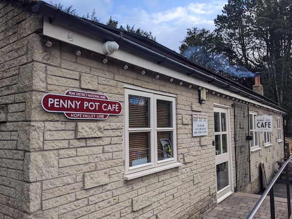
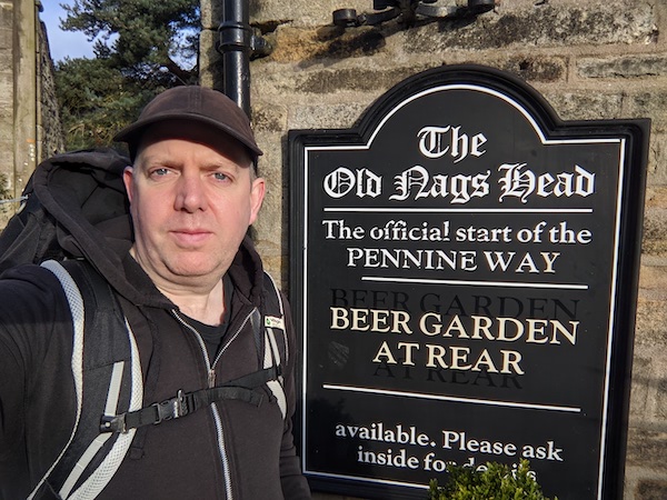
I’ve decided to try re-walking the Pennine Way this year and set out on April Fool’s Day. I spent the night before in Sheffield, where I found I couldn’t fill my water bottles from the hotel sink and was overcharged for water in the station. I was also too early to buy coffee. Things improved once I got to Edale and the Penny Pot Cafe, which provided coffee and a warm welcome. As soon as I set out on the trail, I felt my recent work stress fell away, failing to keep pace.
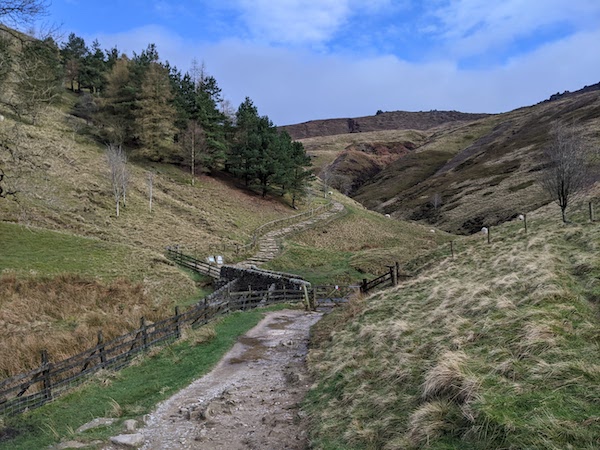
I was surprised at how much of the route I remembered. The journey starts with a gentle stroll through a valley with stiles and sheep. Things get serious with Jacob’s Ladder, a steep stairway onto the hills. The name of these stairs is a biblical allusion, named after Jacob Marshall, who cut the steps in the 18th century. This was apparently an important packhorse route, and there are two routes up the hill, with a shallow path for horses and the steeper steps for the drivers.
This was the first long hike I’d done in some time, and it took time to settle down – my muscles felt odd and kept pulling, and my equipment did not set right. The rucksack was too heavy, and my clothing was not keeping the wind out.
After the ascent, the route has some beautiful views as it heads towards to the waterfall at Kinder Downfall before heading into some beautiful wild country.
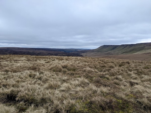
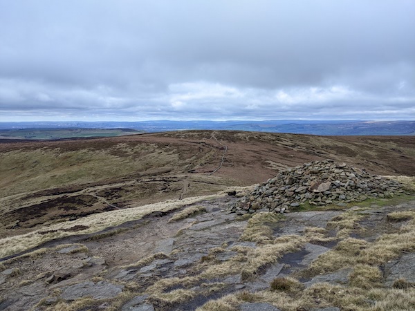
The Pennine Way was designed to start near Kinder Scout to mark the trespass, and the pathway opened on the event’s anniversary. The route has been diverted since its early days, and has been improved by the addition of stone slabs, which apparently came from demolished mills. This first day on the trail was fierce in the early days, with stories of people falling into bogs up to their waist. Even with the stones, it’s still possible to get one’s feet wet passing through the sunken sections. People sometimes say that the flagstones have ruined the Pennine Way experience, but many people would give up after this first day.
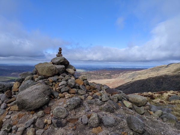
There is a long moorland section until the A57 Snake Pass where the route became busy with people visiting the Bleaklow crash site. The Pennine Way drifted off through the sunken gully of Devil’s Dike. I kept track of the path using Google Maps, which traces much of the Pennine Way (with a guidebook and OS map in reserve in case I couldn’t get signal).
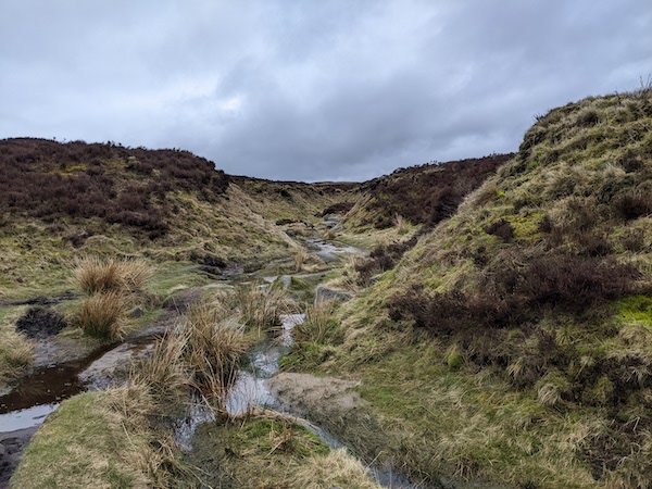
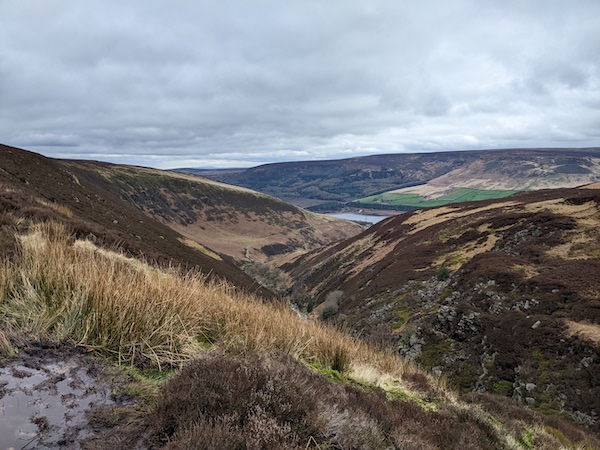
I was very lucky with the weather, but the ground was slippy and gloopy with mud, making it hard to keep my footing at times. I passed Bleaklow Head and the entered the day’s final section, following the path on the hillside of Clough Edge, with views of Torside Reservoir, the day’s end point.
One of the big problems with the Pennine Way is a lack of accommodation. There is a campsite at Crowden, but the Old House at Torside (where I stayed last time) closed after the pandemic. There are options for accommodation in Glossop, but this is some way off the trail. The single bus-route to Glossop is very unreliable, meaning that you will need a taxi. I was fortunate that a colleague had offered to pick me up and take me into town.
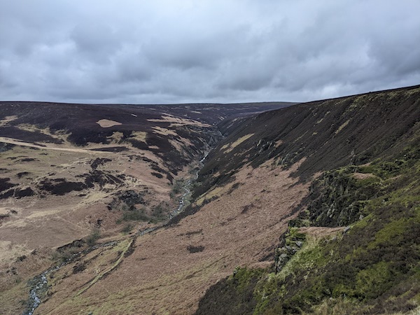
But, overall, the first day of the Pennine Way is a great day’s walking – although I imagine it would feel different in poor weather. More than anything I love how the path stretches out into the distance, sometimes wide, sometimes so thin it almost disappears. Sometimes I would drift off the ‘official’ path a short distance, but I don’t think that matters. The important thing is the path leading forwards.
I previously walked this section in May 2017 – see my post Pennine Way – Day 1.
Very interesting and mysterious landscapes. One can imagine Kate Bush singing Wuthering Heights on the rocks
I’m only about 9 miles from the place where Wuthering Heights was set. Might be worth a visit?