I’m not a huge fan of riverside hikes. I hate how a long stretch of walking beside a meandering river covers so little distance. Despite that, when some friends suggested a walk along the Ouse I decided to join them.
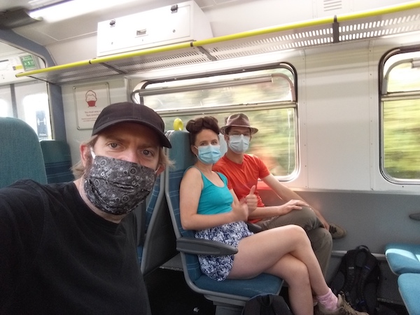
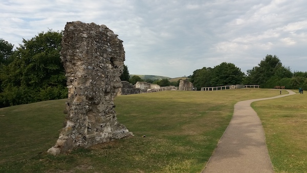
I took my first trip on a train since March. The train station was strange and oppressive, and also very quiet. We set out for the Ouse via the ruins of Lewes Priory.
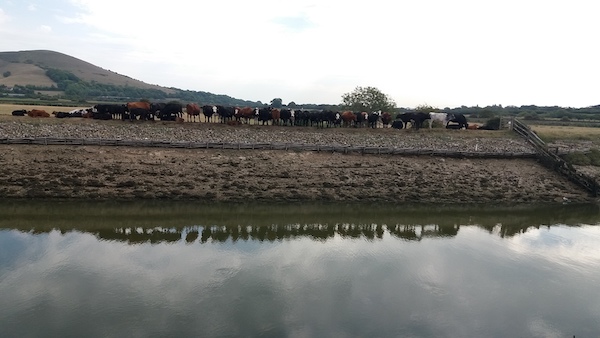
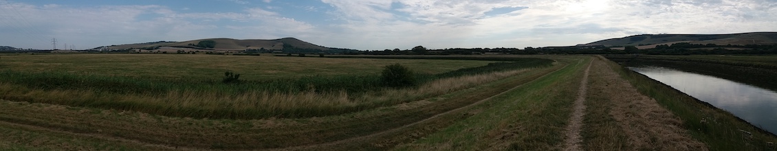
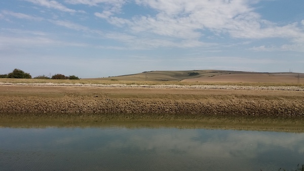
We’d started out early, but the heat was already brutal. I kept slathering on the suncream and went through my drinks faster than planned (last night I ordered a couple more aluminium bottles ready for future hikes this summer). Waterbirds darted about and, on the opposite bank were a menacing line of cows, the young ones sheltering in their parent’s shadows.
The landscape south of Lewes is beautiful, with views of Firle Beacon, Mount Caburn and Lewes castle. And, while the river was taking long loops it didn’t feel too irritating. As Frankie pointed out, it meant our view of the scenery kept changing. The route was more interesting than the equivalent section of the South Downs Way, where you have the same ridge of the hill ahead of you for hours.
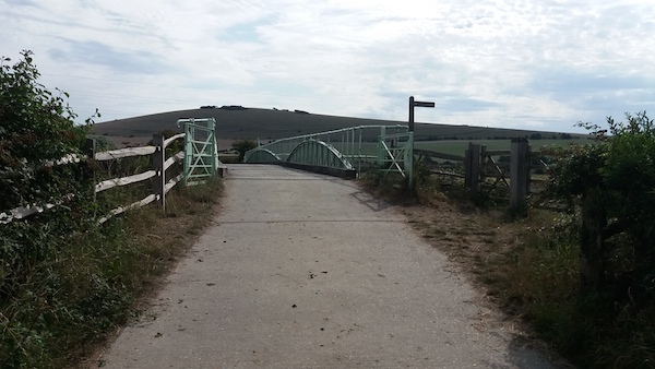
We did walk a tiny section of the South Downs way when we met it at the Southease swing-bridge. We walked from one side of the bridge to the other than back to continue our journey along the Ouse’s west bank.
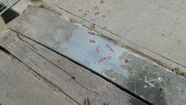
On the east side of the river, we found a short trail of muddy hoof prints.
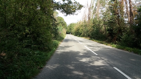
We couldn’t follow the banks of the Ouse the whole way, since private property forced us inland near Piddinghoe. Instead we had to follow a fast stretch of road with little pavement – but at least it gave us some shade.
The river was very low and, in the end, only one of us took a dip. I sat on a bench and enjoyed the view of Itford Hill.
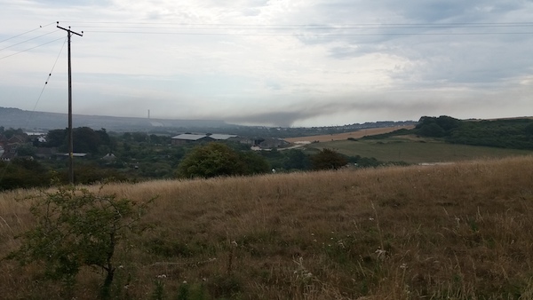
For some miles, we’d seen thick smoke rising from Newhaven. At Piddinghoe we encountered a couple of walkers who’d left the town for the day to avoid this cloud. When the wind changed for a time we could see and smell the smoke, so we decided to change our plan of heading to Newhaven and strike out south-west for Peacehaven.
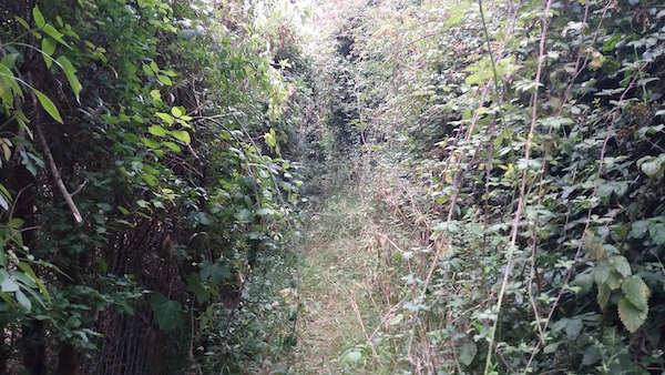
There was a path clearly marked on the OS map, so we took that for it. I learned a useful lesson: just because a path is clearly marked, it doesn’t make it easy to navigate. This one was thick with brambles, some of which drew blood from Frankie’s legs. The branches were also thick with fruit, which I guess is a fair exchange, and Frankie emerged with an armful of forage. The hedge beside us was also full of butterflies.
The difficult part of the route did not last too long, but it was definitely one of those neglected paths which seem to have been actively made unwelcoming. The footpath was actually blocked at one point by a low fence.
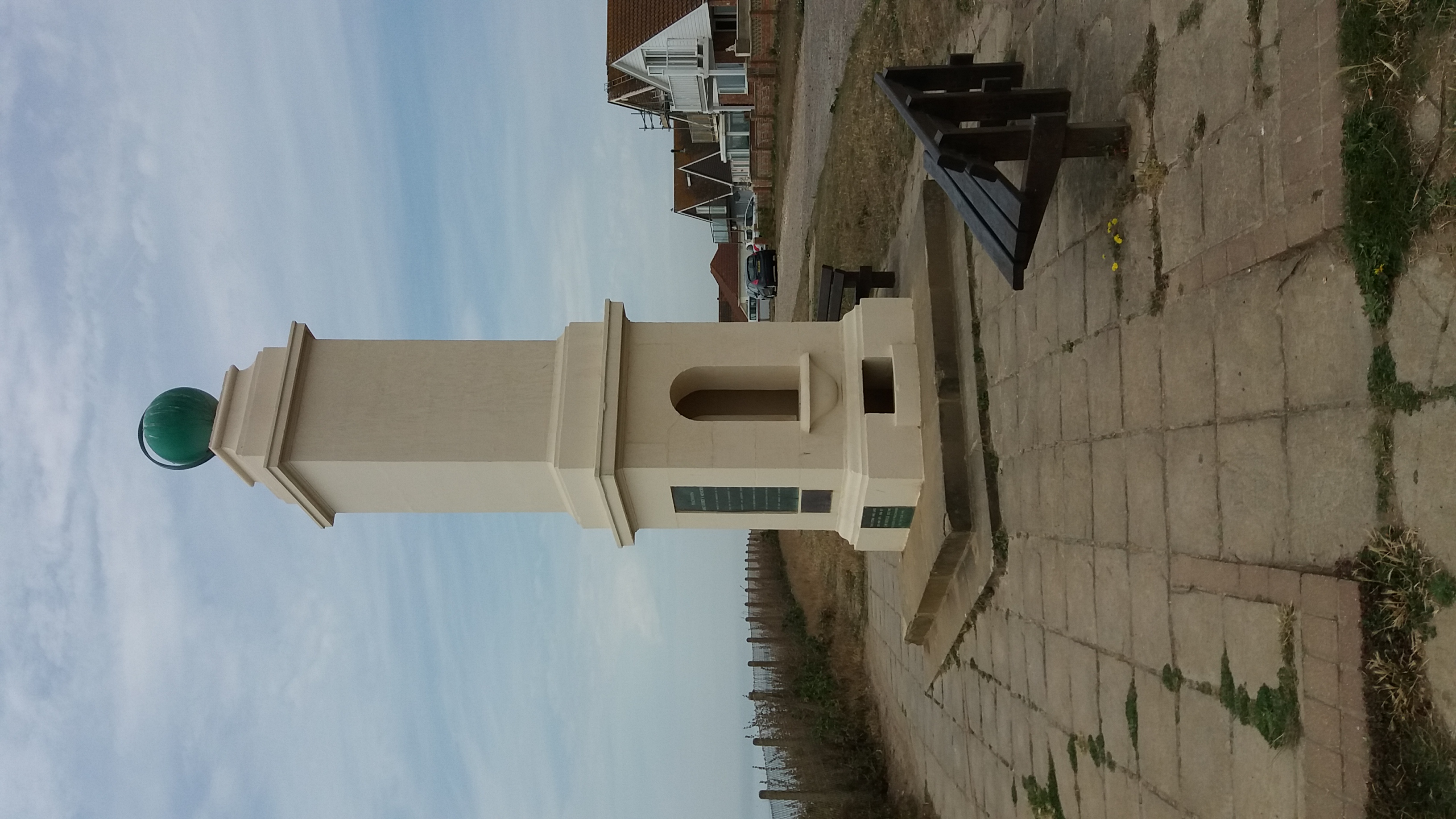
But we did have some great views on our way to Peacehaven’s Centenary Park, from where we headed to the the meridien marker before taking an Uber home. It was a good day out, and walks in company are generally much more fun that solitiary ones – I even learned about how PCR testing works. And I managed to add another 10 meters towards my re-walking of the South Downs Way.