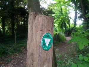
Some time back, a friend of mine produced a map of footpaths between Brighton and Lewes. I followed one of the two routes on my birthday last year. I’d not got around to doing the other, but needed a route to walk as practise for the Ridgeway (I’m walking with someone who has not done a long day’s hike). So, on Sunday, I walked to Lewes and back.
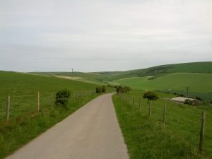
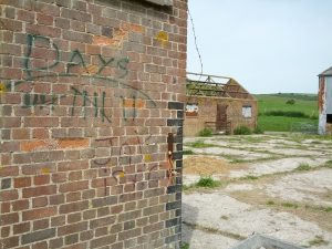
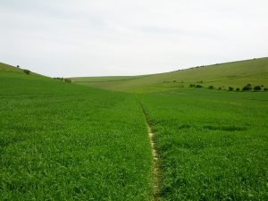
The route goes along Brighton seafront to Rottingdean before turning North and passing through the abandoned village of Balsdean. A path through a field of crops eventually leads to Kingston and Lewes. On the way back the route followed the Juggs Road for much of the way, re-entering Brighton near Woodvale Cemetary.
It was a good walk. I exhausted myself and got sunburned, but it was so nice to get out for the day.The whole route turned out to be about 50,000 steps, which my fitbit claimed was about 22 miles. It’s probably nearer 18 miles and we did it quite quickly, not stopping for long breaks. We stopped for lunch in Lewes where we overheard a conversation at the cafe about the kitchen clock being slow. Apparently this always happens, because the works get gummed up with grease.
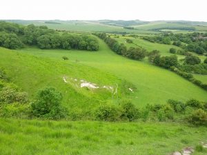
I’d somehow not walked Juggs Road before. This was the old route used to carry fish from Brighton to Lewes by donkey. It featured an impressively steep hill that nearly got the better of me on such a hot day. According to the Internet, a jugg is a name for Brighton fishermen, or a basket for carrying fish. The Revd WD Parish’s sussex dictionary suggests that Jug(g) is a generic nickname for Brighton people.
Once summer calms down a little, I am heading to Bath to try out the second This Way map.
This Article was mentioned on orbific.com